Port Neville wasn’t really a port, there was a pier with room for a couple of boats, there was a store, but it was long closed down.
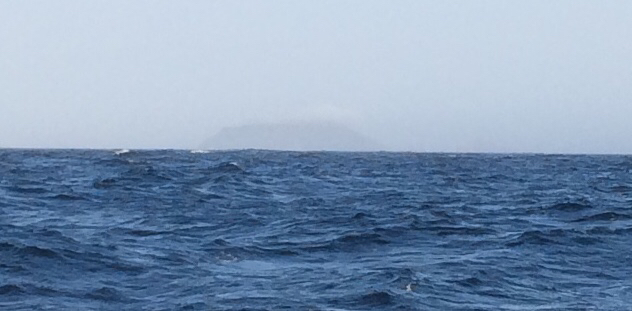
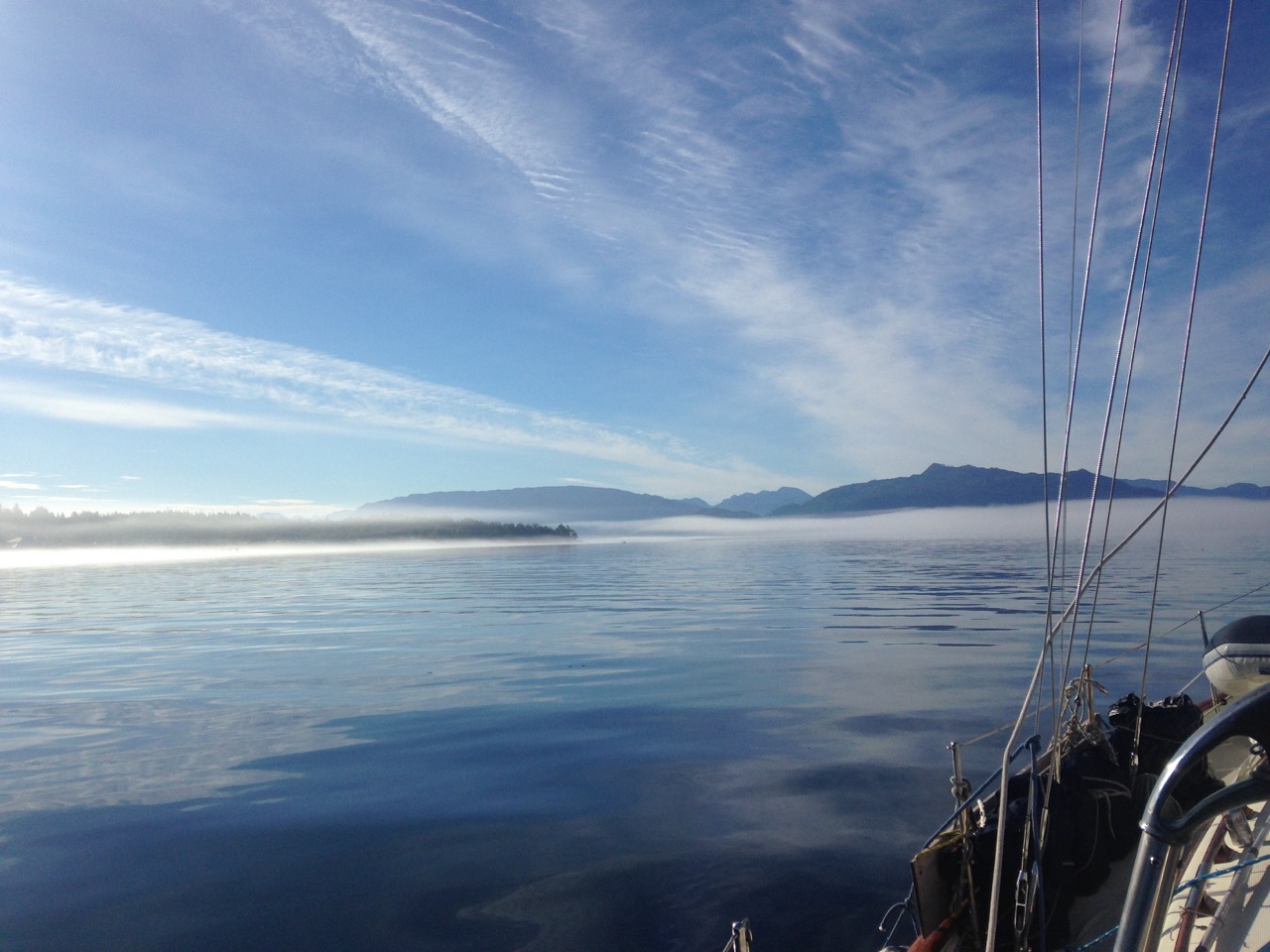
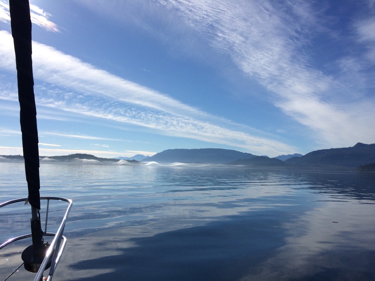
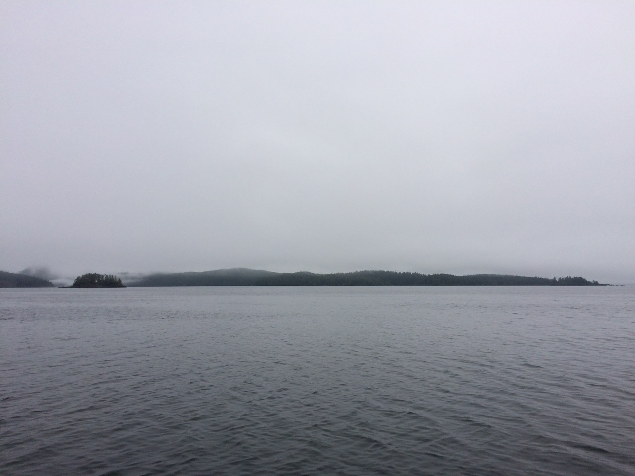
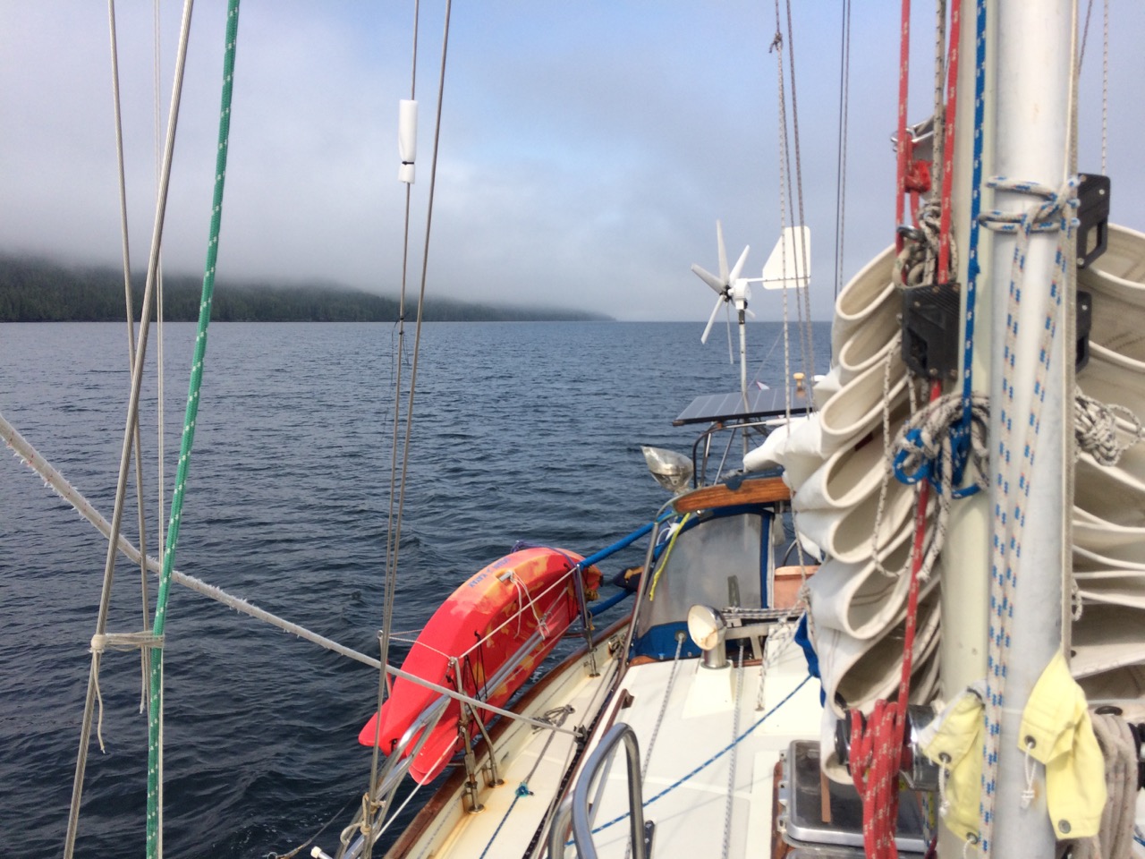
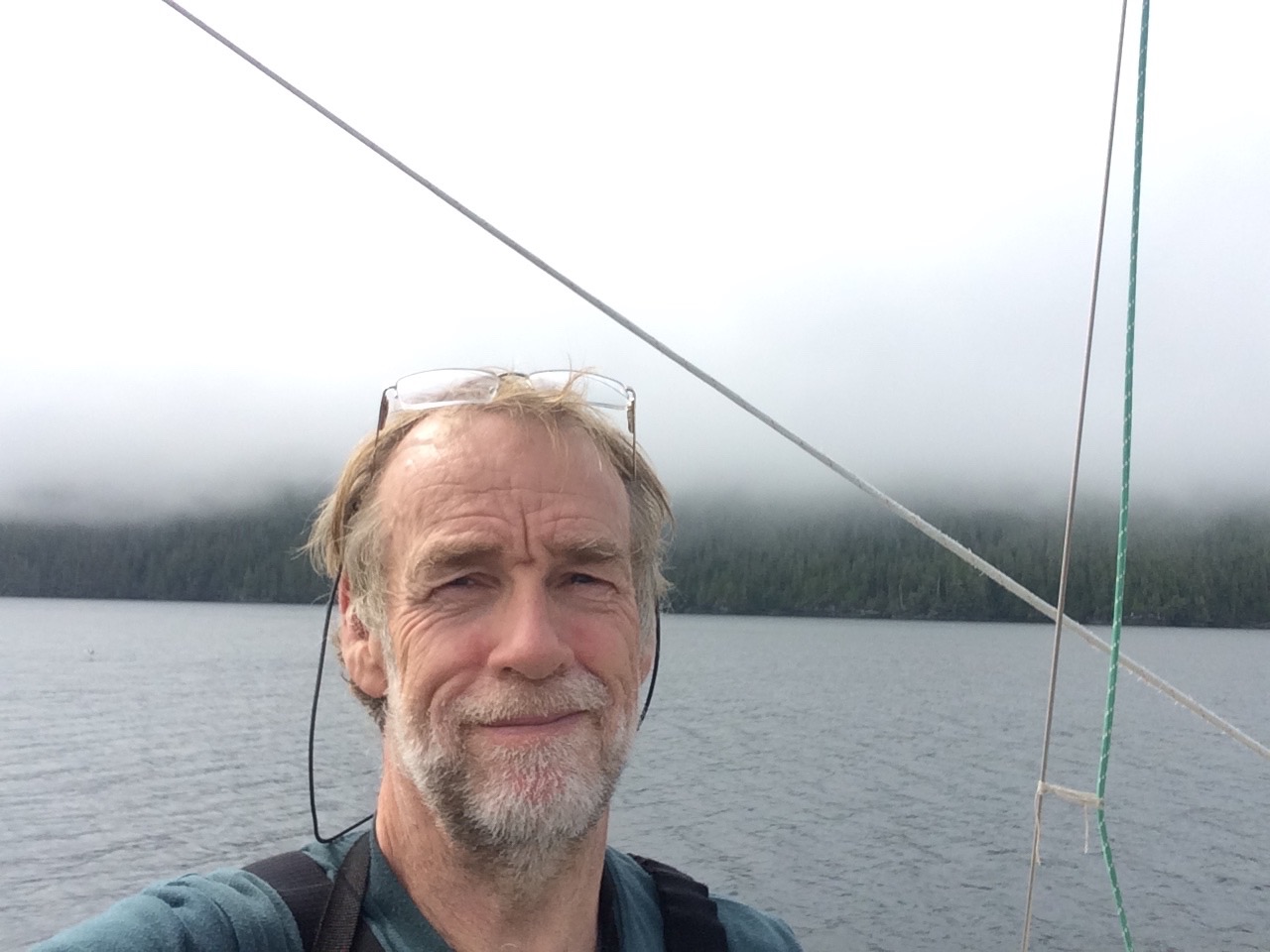
However leaving Port Neville we headed into morning fog and took some amazing pictures.
 The inter-island ferry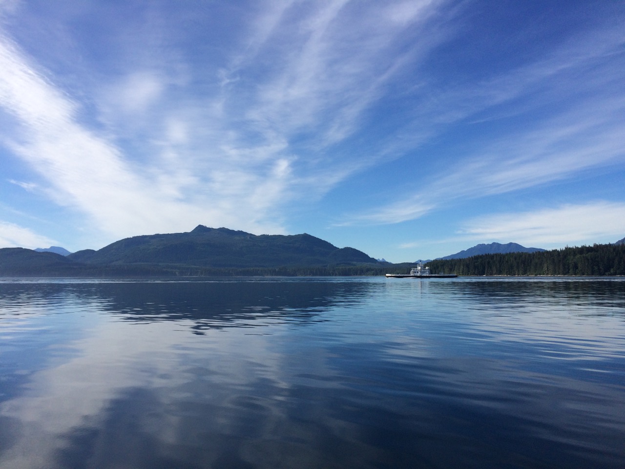
We dinghied ashore and were going for a walk when we were warned about bears that had just been spotted close to the pier, so we kept our walk brief before we dinghied back to our anchorage. We left early the next morning to arrive at the race passage in time for slack water. However I now realise I applied the secondary port time difference for tide height to the slack water time, instead of the slack water time difference, so I got slack water wrong by an hour or so. It didn’t matter, we had 0.5 knots against us through the passage and really couldn’t understand what all the fuss was about.
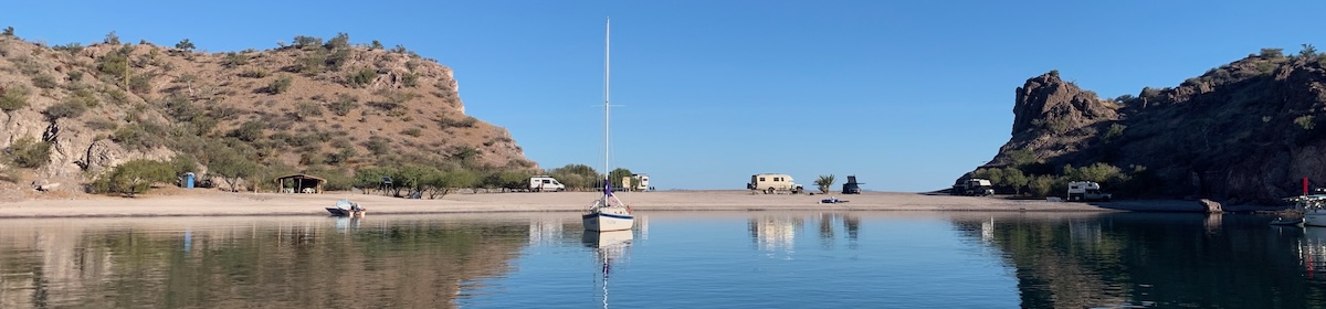
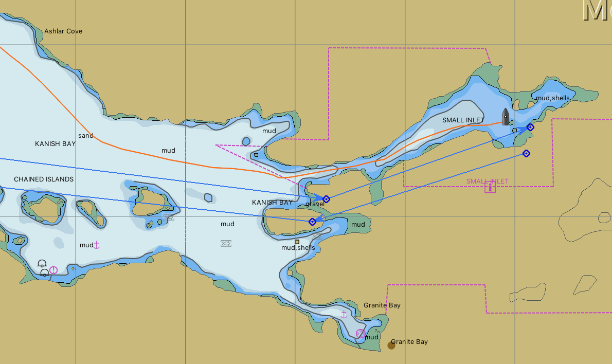
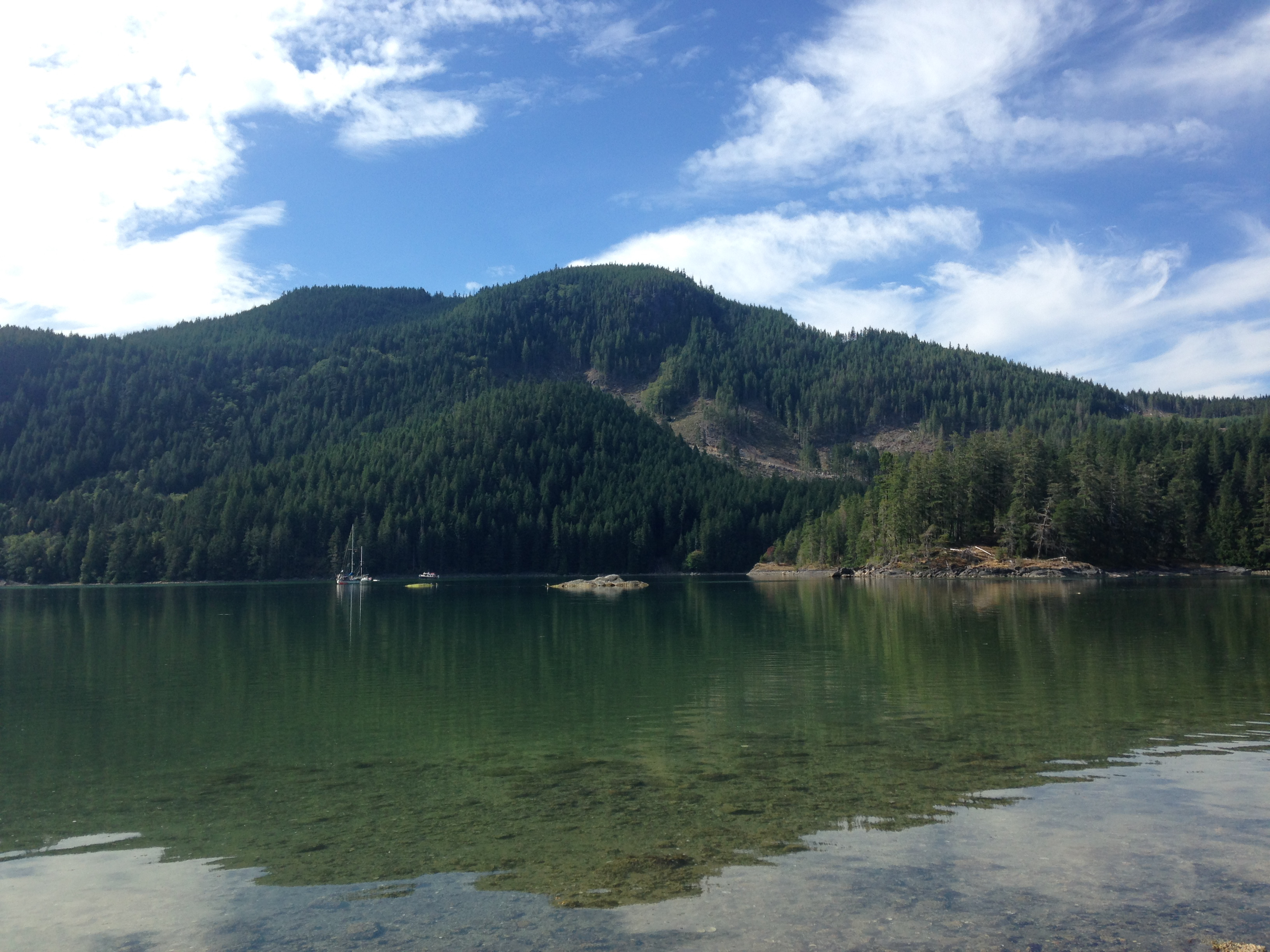
We continued to the end of Johnstone passage, still not seeing a gillnetter, and turned south into Discovery Passage. A few miles further south and we turned to port and into Kanish Bay, where at the very end there is a small channel, about 40 meters wide that leads to a little hidden gem of a pool.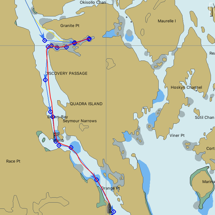
 We spent the night here, and this must have been our most peaceful night in many months.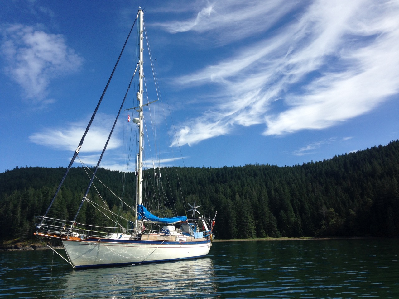
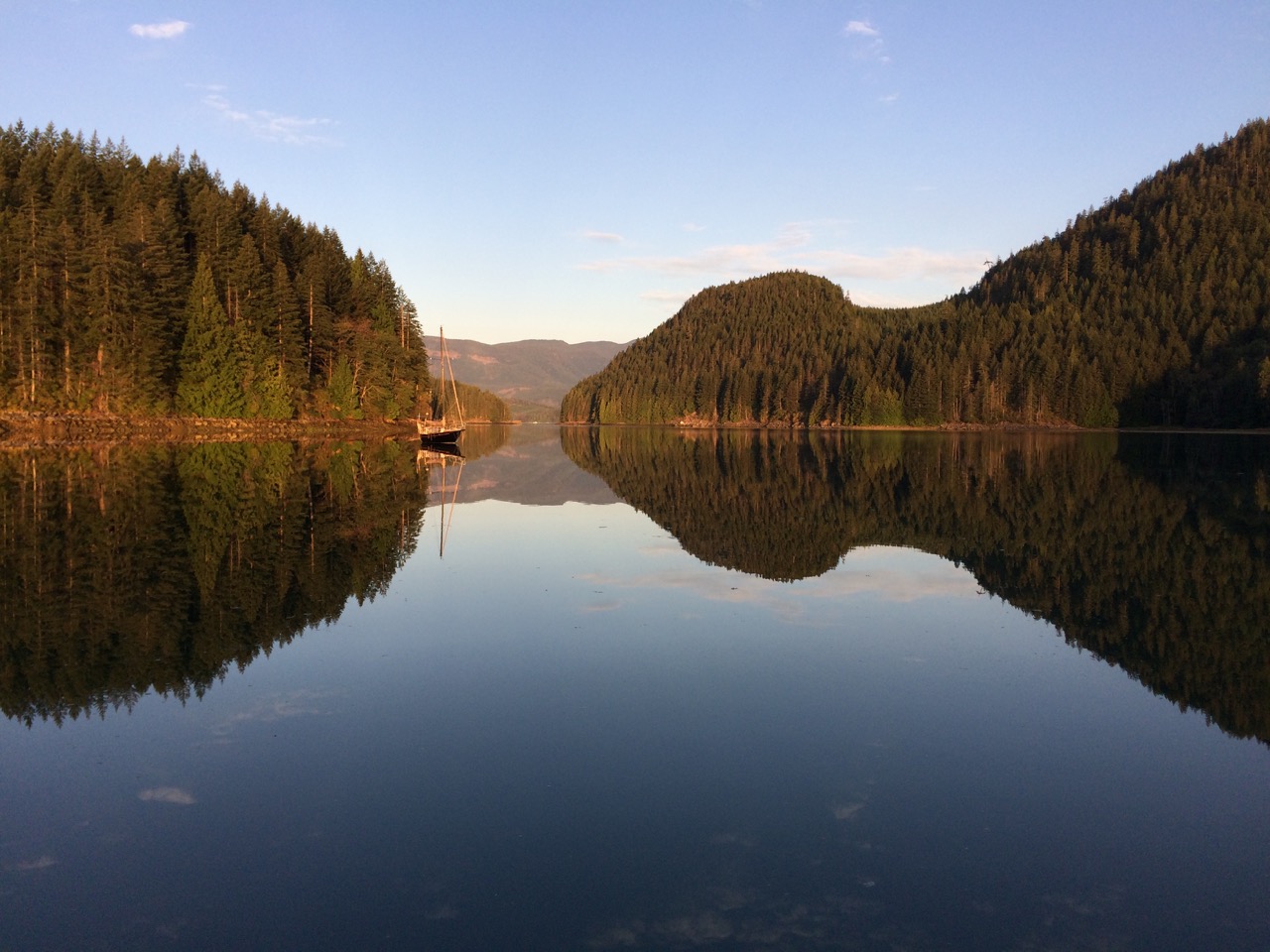
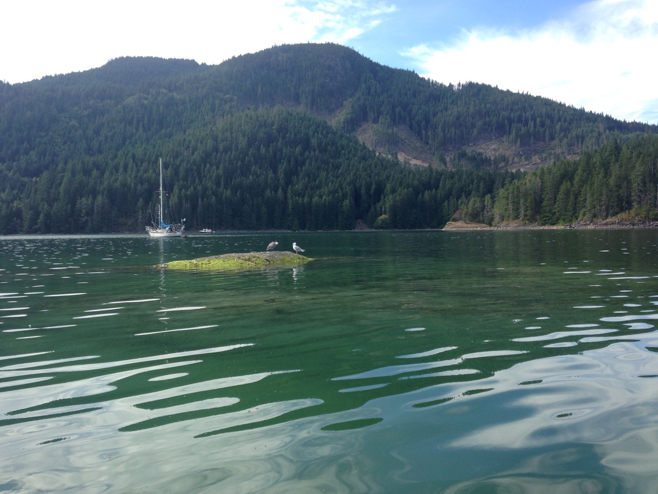
I even managed to get the Kayak out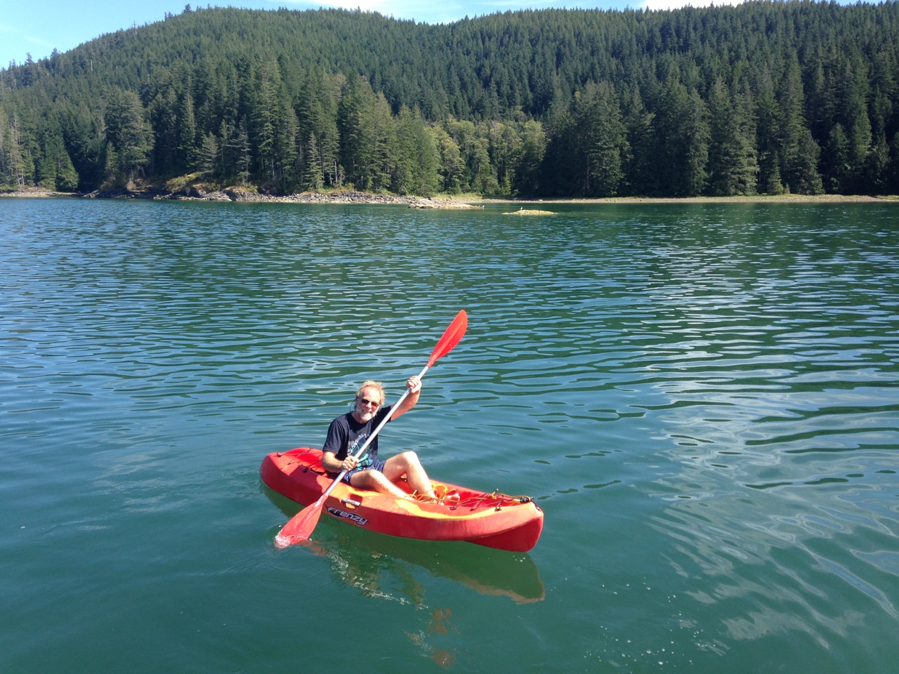 The next day we had to pass through one of the most dangerous passes in Canada, the Seymour Narrows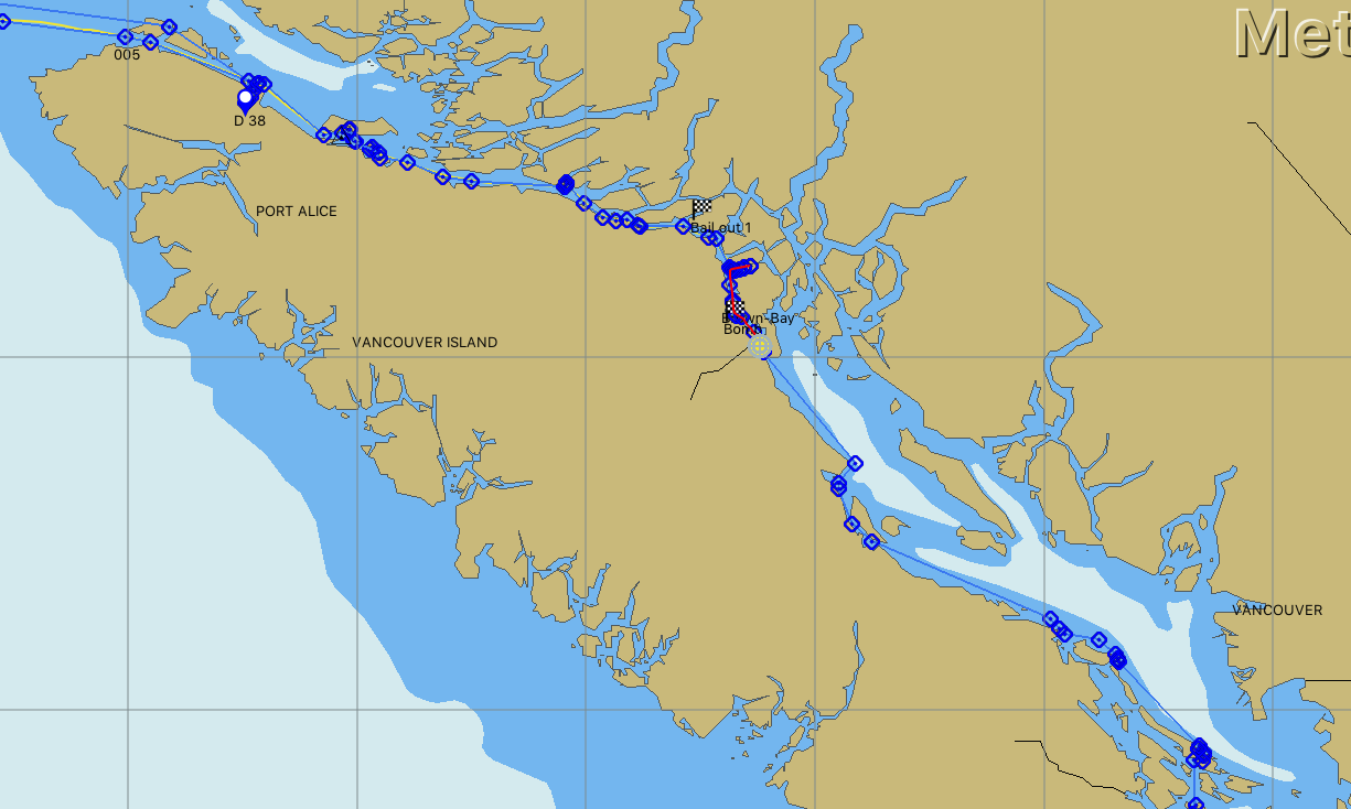
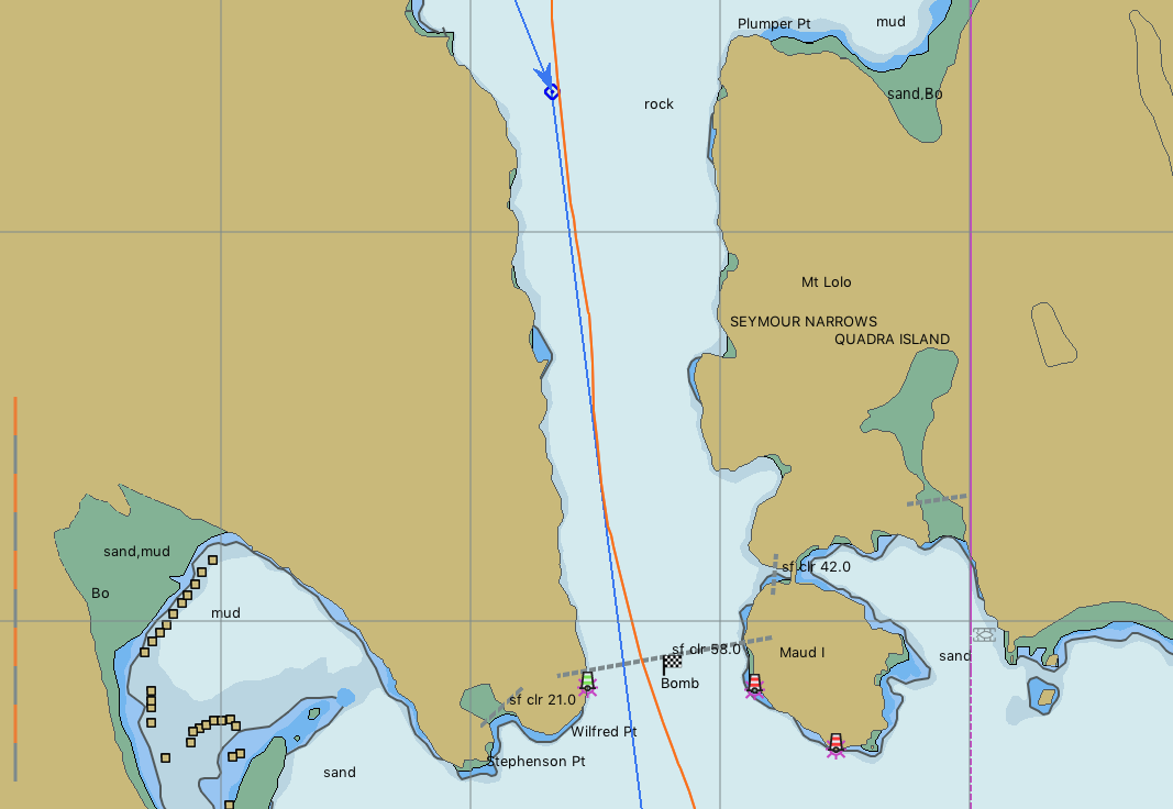
This short stretch of water has claimed many lives over the years, at worst the current can run to over 15 knots, with surges of a couple more knots added by the rips, it’s very dangerous if you don’t get your timing right, which is what I spent an hour checking last night. I now understand the government books on tides and currents better. It turned out we had to be there around 13:22, that is just before the start of the narrows and we could go through at slack water. At full flood the current would be around 8 knots, and the current comes on quick after slack, it doesn’t follow the 1/12ths rule at all. The 12ths rule is a way of working out the height/speed of tide where you can approximate a sine wave, which is normally how tides move. The other big thing about this pass is that besides being quite narrow for the amount of water that has to get through it, it also had a rock, ‘Ripple rock’, in the middle which ships were constantly being driven onto by the whirlpools it created. Many attempts to destroy this rock had been made, but all failed, many with the loss of lives when their barges were ripped away from mooring lines by the fierce currents. In the end, in 1958, a tunnel was dug under the pass, and then up into the rock and explosives detonated. It’s claimed to be the largest bomb/explosion other than the atom bombs ever. Read more about it here
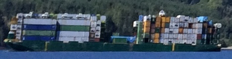
So it was with some trepidation we headed off to the Seymour Narrows, I was a little bit worried as we left our lovely secluded inlet, and turned into the main channel to see we were alongside a tug and tow, he was obviously heading for slack water too, Pleased that my calculations were probably confirmed, but worried that the tow might be all over the show, as it was I couldn’t keep up with him anyway, and he would pass through the narrows 30 minutes early, silly man I thought, he can’t have done his homework!

There are 4 big trucks top left, and a motor cruiser on the top near the stern, some tow.
We did however run into a few gillnetters as we hit the main strait, but they were easy to avoid, our Asian experience with fishermen has set us up for life in that area.
So we all headed down to the narrows and I was very disappointed to find nothing happened, Nada, a little wobble in course at one point, not even as bad as Race passage the day before. What an anticlimax. we went through, with about 2 knots extra current, and out of boredom, I headed over to the top of Ripple rock just to be able to say I motored over it, but even then there was no real current, the odd whirlpool, but anything bigger than a leaf was safe. Oh well, at least I must have got the timing right.
It got harder later as we picked up a headwind of 15 knots and had some current against us so we were crawling along to our destination at Campbell river town, which is where we are now. A small town, but the biggest supermarket we have seen since leaving Malaysia,huge, with so much variety, Kathy is spending tomorrow there 😉
It’s a big marina here, and quite an expensive area, I think the houses on the riverfront are all very expensive luxury pads. I read that hollywood stars would often take vacations here, so I put on my less oily pants for our stroll tonight.
We are having a day off here tomorrow before we push on south towards the San Juan Islands to check into America.
Paul Collister.
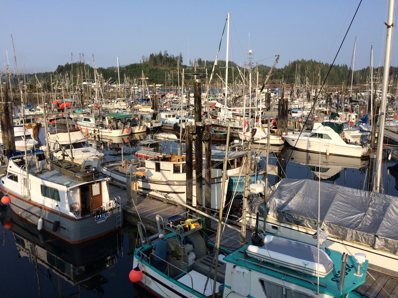
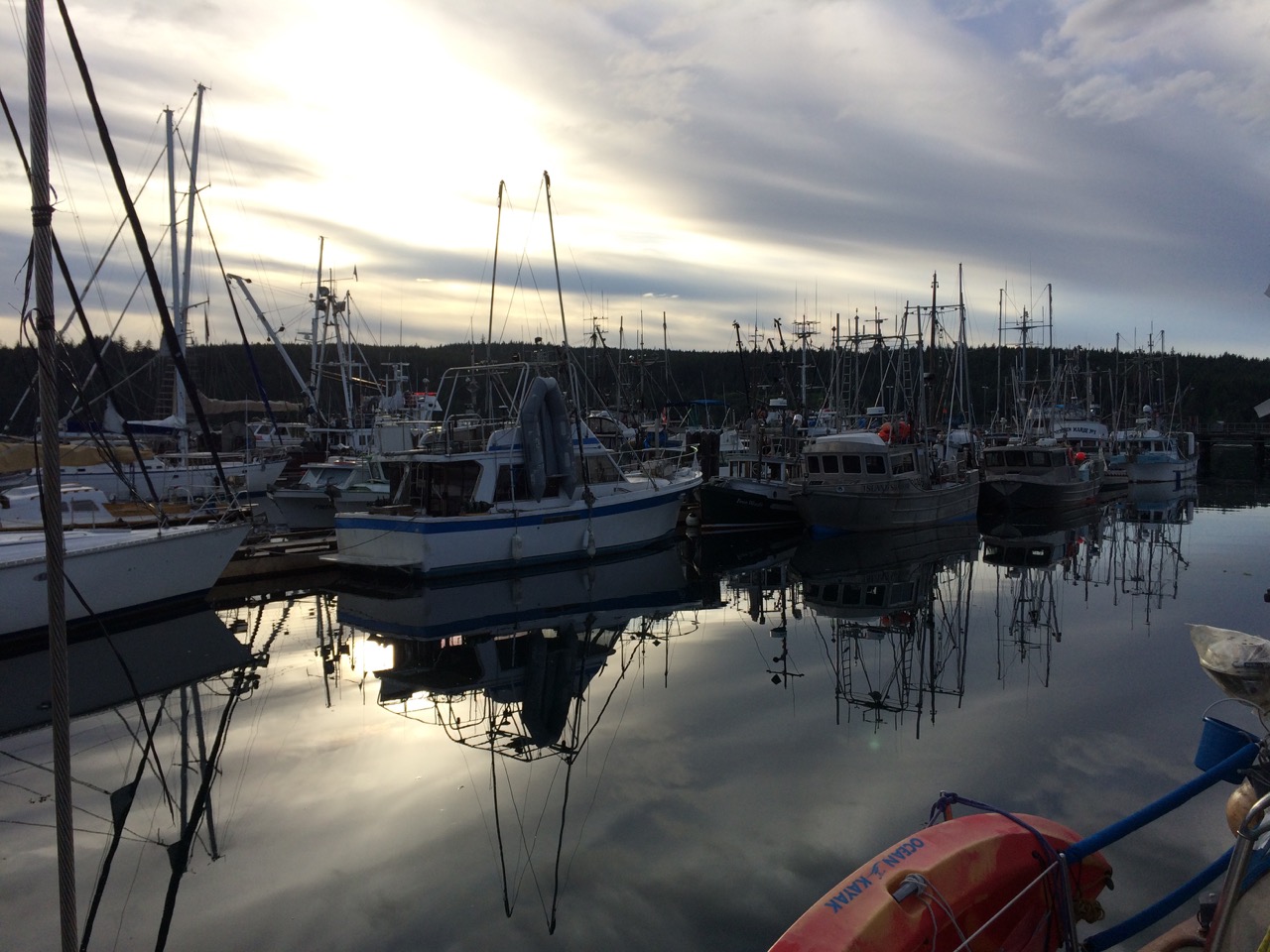 A Gill-Netter is a certain type of fishing boat/style where a long net, about 1/4 mile, is let out from the stern of the boat from a large drum and then the boat and the net drifts. The boat can be pointing at the net or away from it, or anywhere in-between, meaning that spotting the boat doesn’t give us a clue as to where the net might be. I have just had a good chat with the skipper of the boat and he told me that tomorrow the fisheries open for a three day window, and that he, and hundreds like him will be rushing to the water, in particular the straits and passages we are going through, and there will be Gill-Netters everywhere. His advise to me is to stay 1/4 mile away from every fishing boat, which is easier said than done.
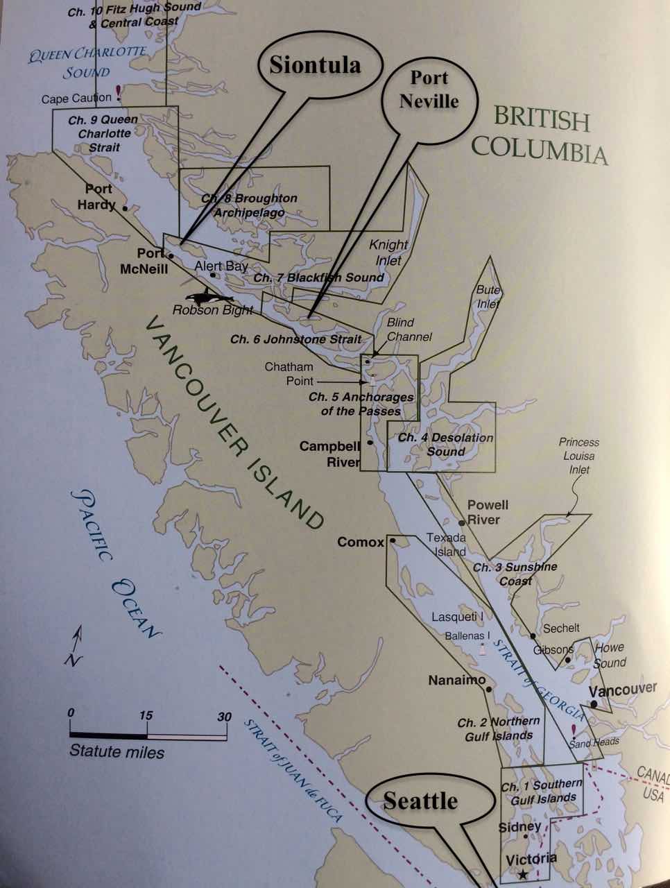
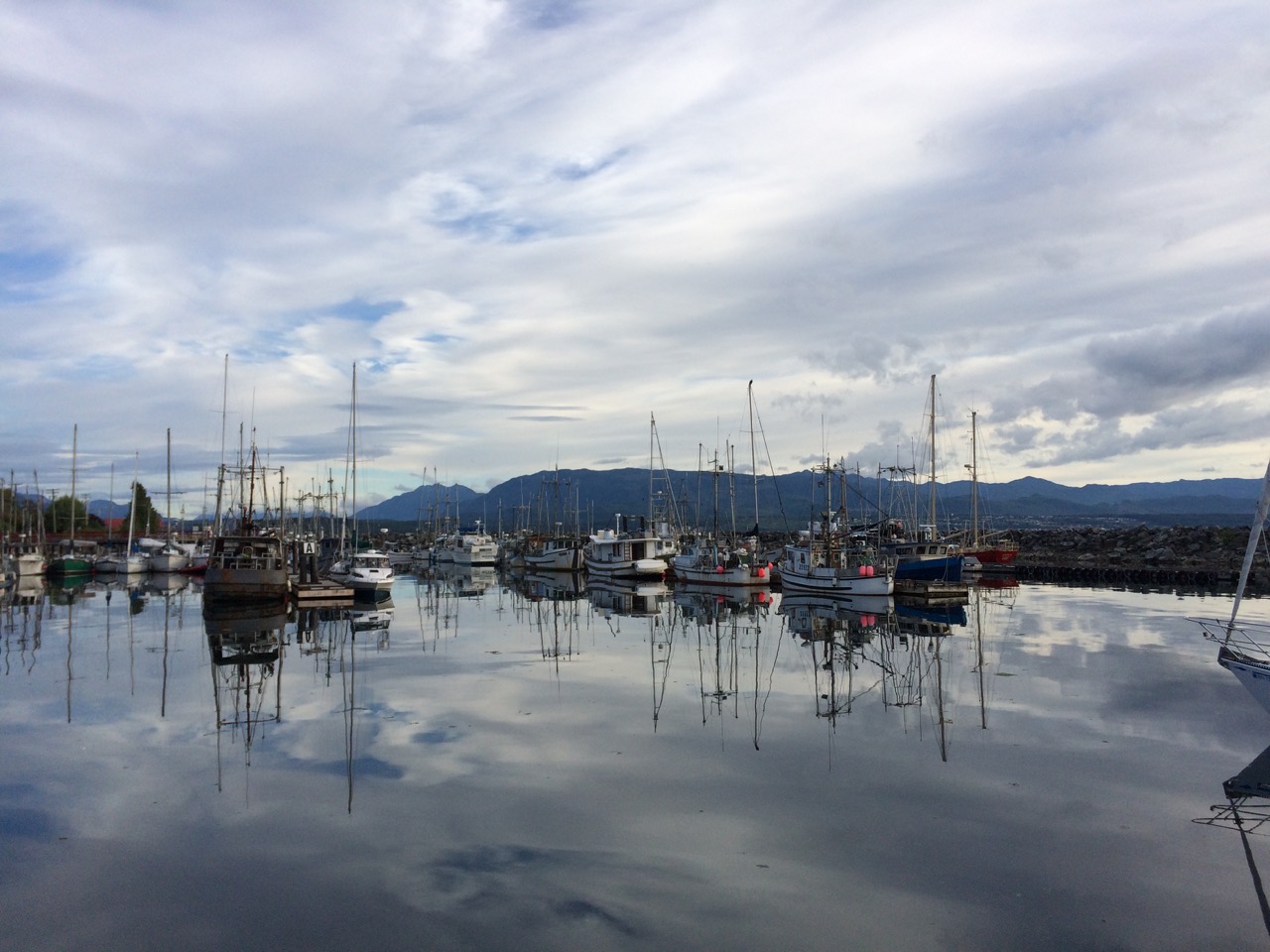 The Inside passage is a maze of waterways, rivers, straits, passes etc that run from Seattle all the way up to Alaska, about 1000 miles in total, most of it is protected from the Pacific gales and provide a safer route along the coast in rough weather. We joined the passage at the top of Vancouver Island and we are now working our way south, hoping to be in Seattle for the 17th when there is a rally/meet up of boats & owners of boats designed by Bob Perry, the designer of our boat. It’s an annual event, and it seems daft not to attend as we are so close. However it does mean we need to rush a little to get there.
 One of the big problems of the inside passage is that the Pacific Ocean sea level rises and falls by about 4 metres every 12 hours, and it rushes into, then out of the Inside passage. The water races through the myriad of waterways, and where it is narrow, and especially where it is shallow, or there are underwater features like mini mountains, it can get quite crazy. It’s not a gentle river by any means, in some places it’s very deep, I’m not sure exactly, but when Captain Vancouver on Discovery first surveyed it for our Queen back in 1792, while looking for a north west passage, they would swing the lead deep into the water and his crew would often shout ‘No Bottom Found’, presumably relating to the water depth.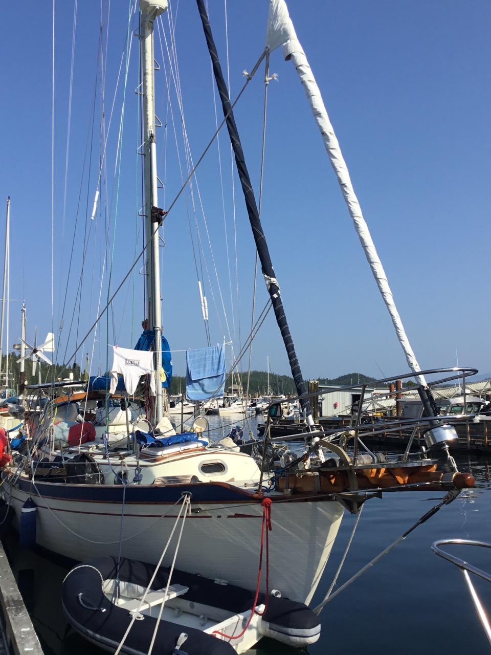
 One of the clearer days in the Pacific
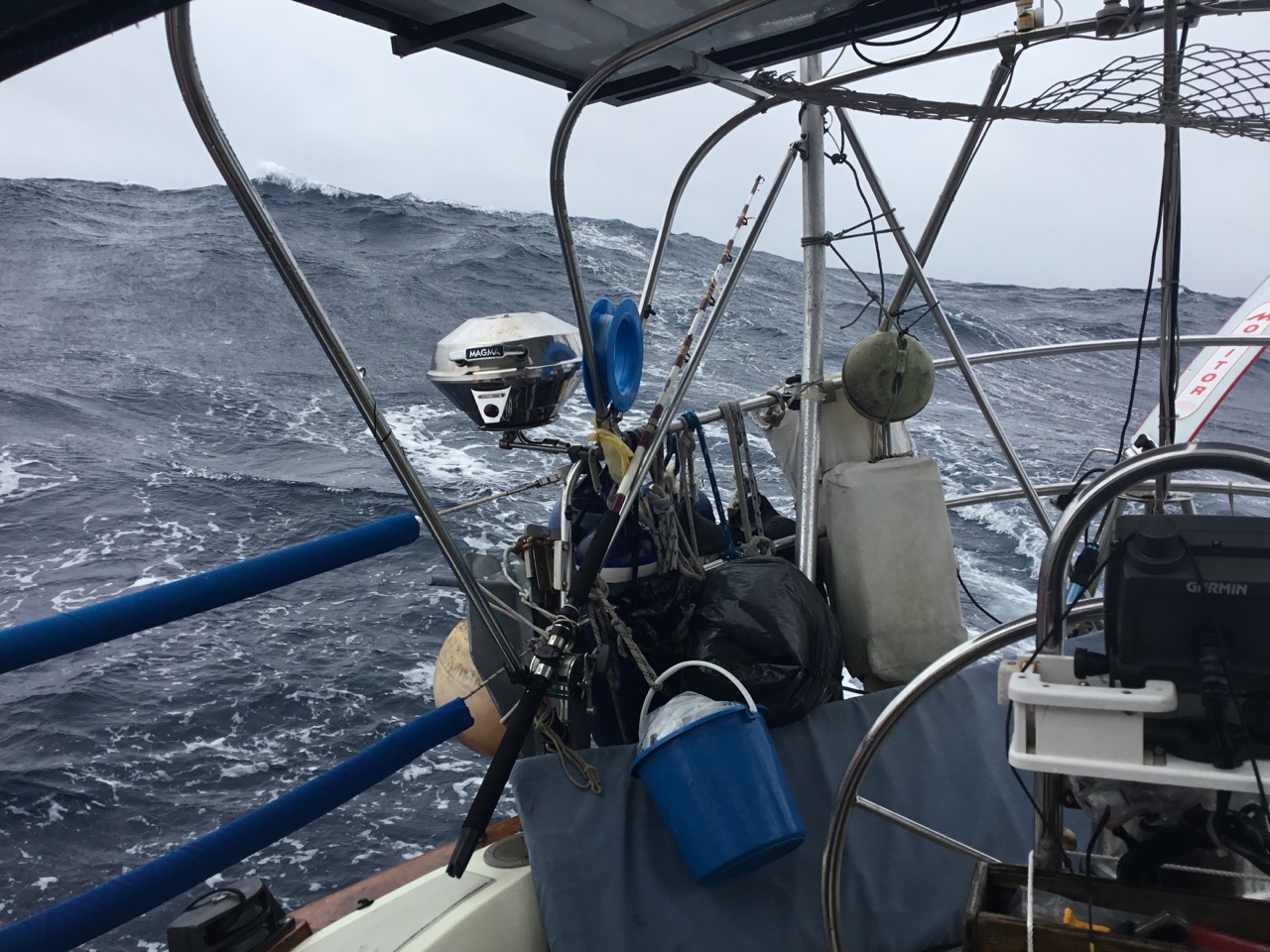
 One of the rougher days.
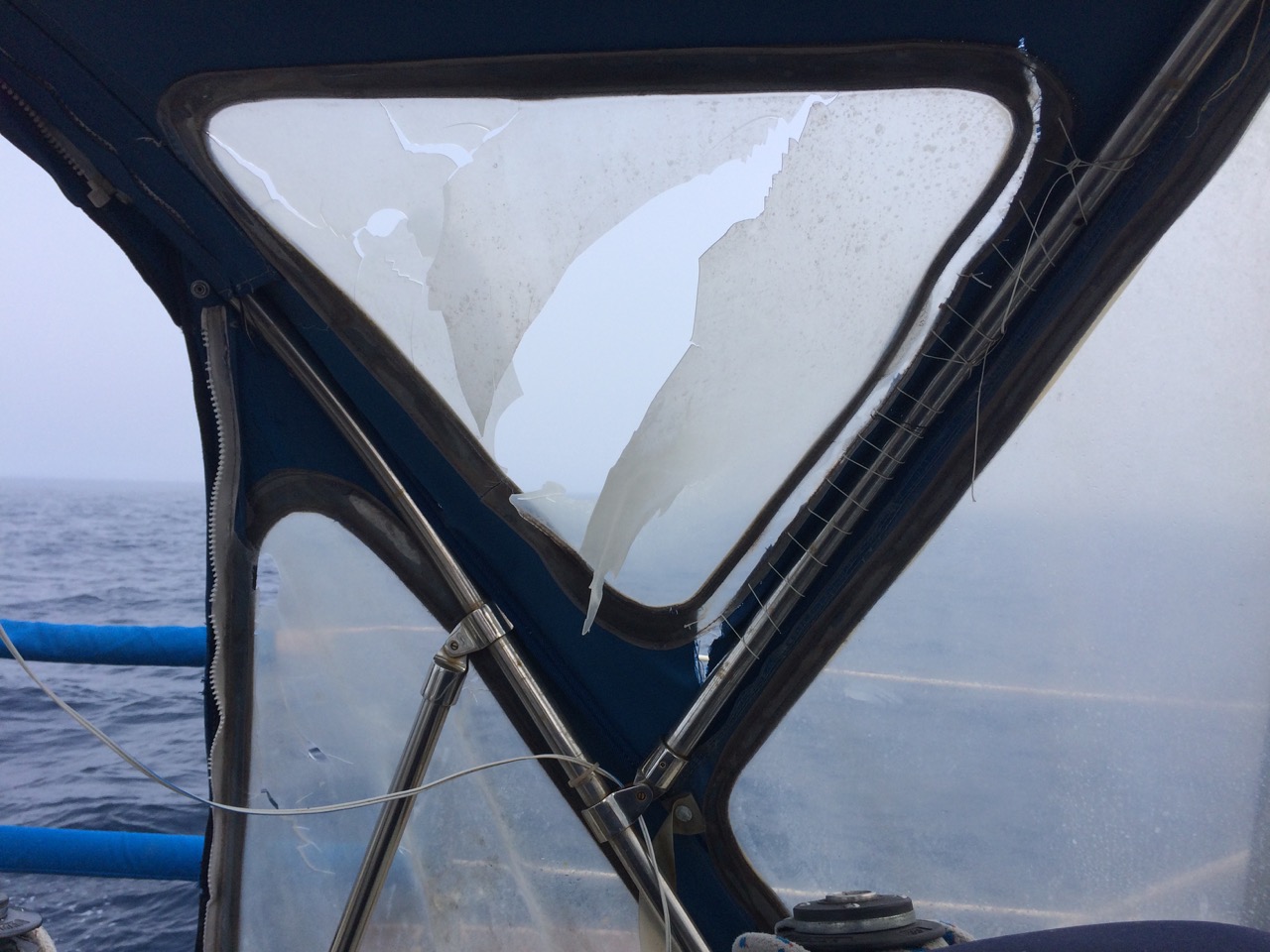
 The damage caused to the dodger by the crazy sheet car whipping around
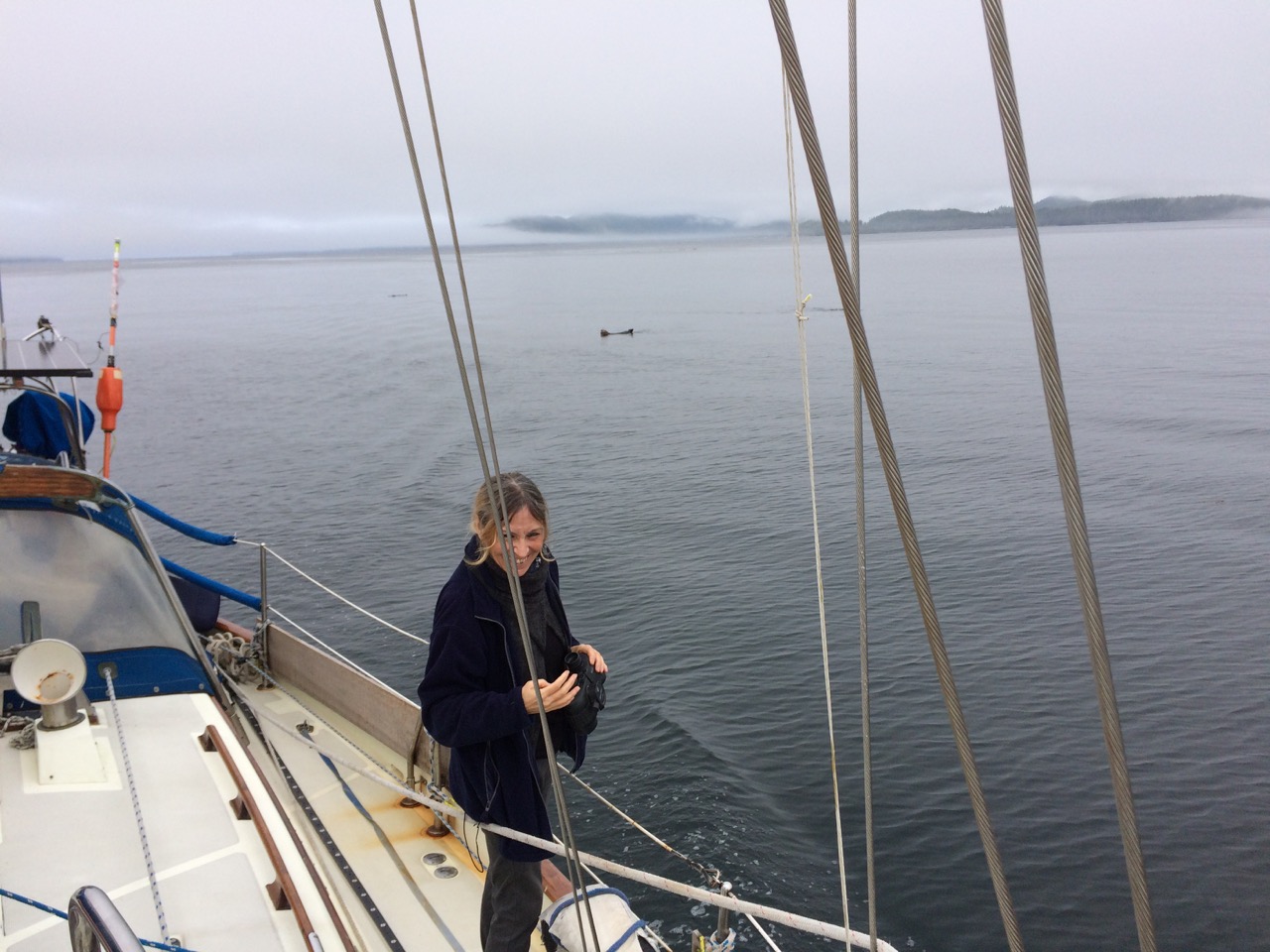
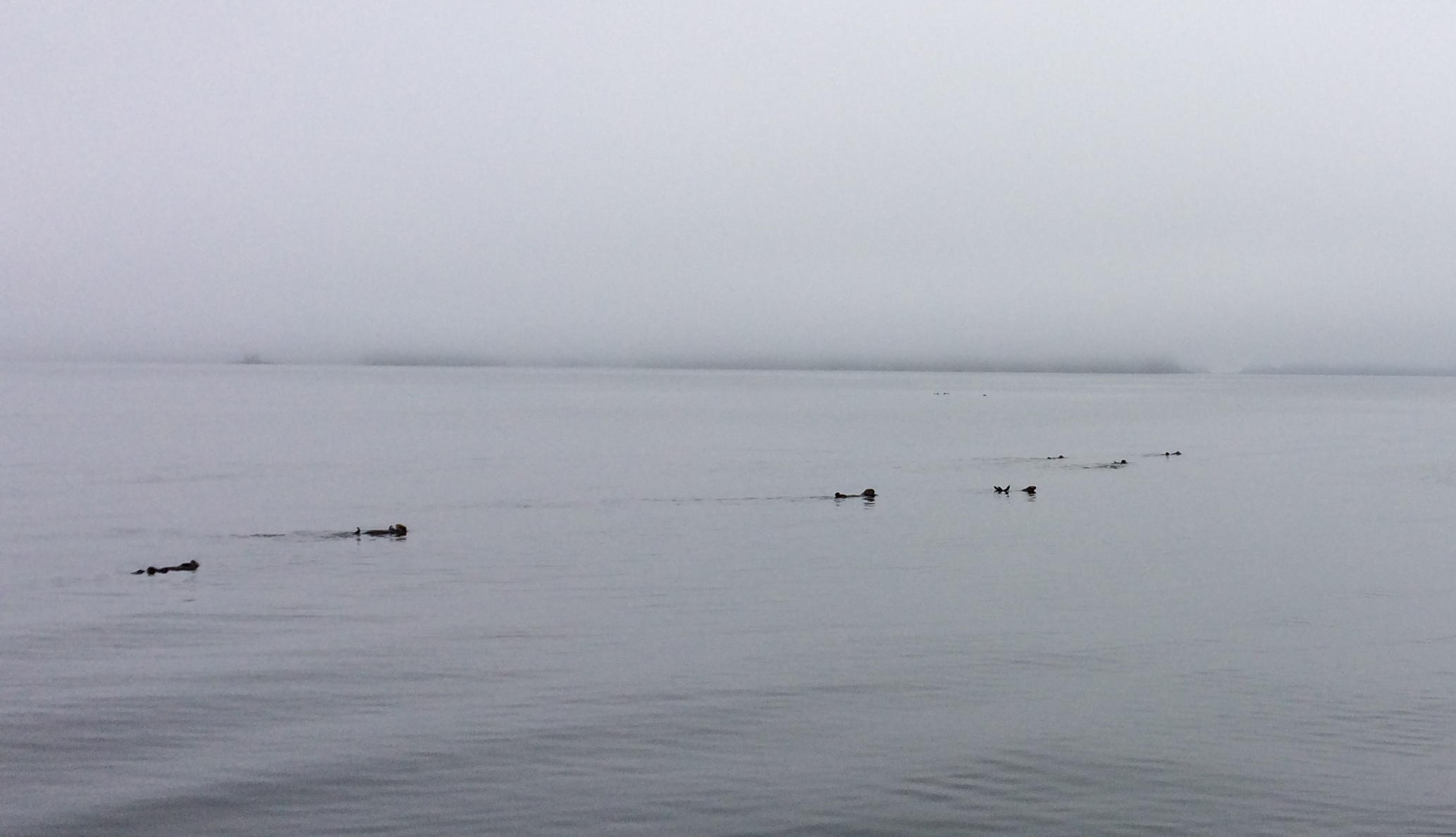
 Sea otters
 The Fishermans Wharf