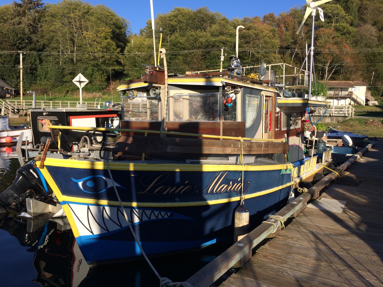
There’s not going to be a lot happening for at least 2 months as I’m not going anywhere until late May/June, just slowly working on the boat ready for the next trip to Mexico. I’m going to keep a blog going as a diary for myself and Kathy, something to read when I hit the nursing home 😉
Friday 12th April 2019
I spent most of the day cleaning the shower cubicle and head(toilet), exciting stuff eh. It took a bit longer than I hoped for because the toilet pump had been leaking so I took it apart to try and fix it, however the drip of sea water from it, that we had been putting up with for the last year or so became a steady flow after my repair. Plumbing isn’t really my thing, especially seals. Anyway rather than order new parts, I checked the spares bag and found a brand new seal, perfect, no more leaks. I was very pleased with myself for having a spare, but did wonder why I had put up with the leak for a year or more. I was even more disappointed when I remembered one of my jobs is to replace the head with an electric one this year.
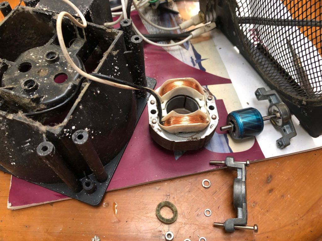
I also dug out the electric heater we have had on board since I bought the boat. It’s 110V USA style, so hadn’t been of much use elsewhere, so as the shore power is supplied on a ‘as much as you can eat’ basis, I thought it was worth a try, the boats heater uses a fair bit of diesel. Sadly the heater fan didn’t work, so I thought I would see if it could be repaired. Even sadder, I enjoyed dismantling the heater, then the fan, then the motor driving the fan, then the bearing at the end of the motor. Amazingly after re-assembly, it worked well. So for just 2 hours of my time, I had saved a heater from the skip. Probably not a good deal, but fun.
I’m listening to Canada radio and they just had an appropriate joke.
Three men in a liferaft adrift in the middle of the ocean.
A bottle drifts alongside them and they grab it, once opened a genie pops out
“I will grant you each a wish” says the Genie.
The first man says, “please get me home to my family”, and in an instant he is whisked away to his family.
The second man asks for the same and also disappears to his family.
The last man says, “I don’t have any family, and I’m really lonely now, can you bring my two mates back please”!
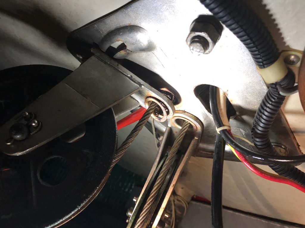
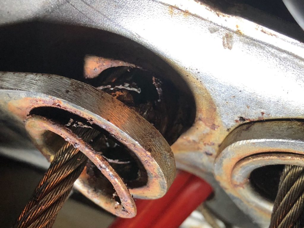
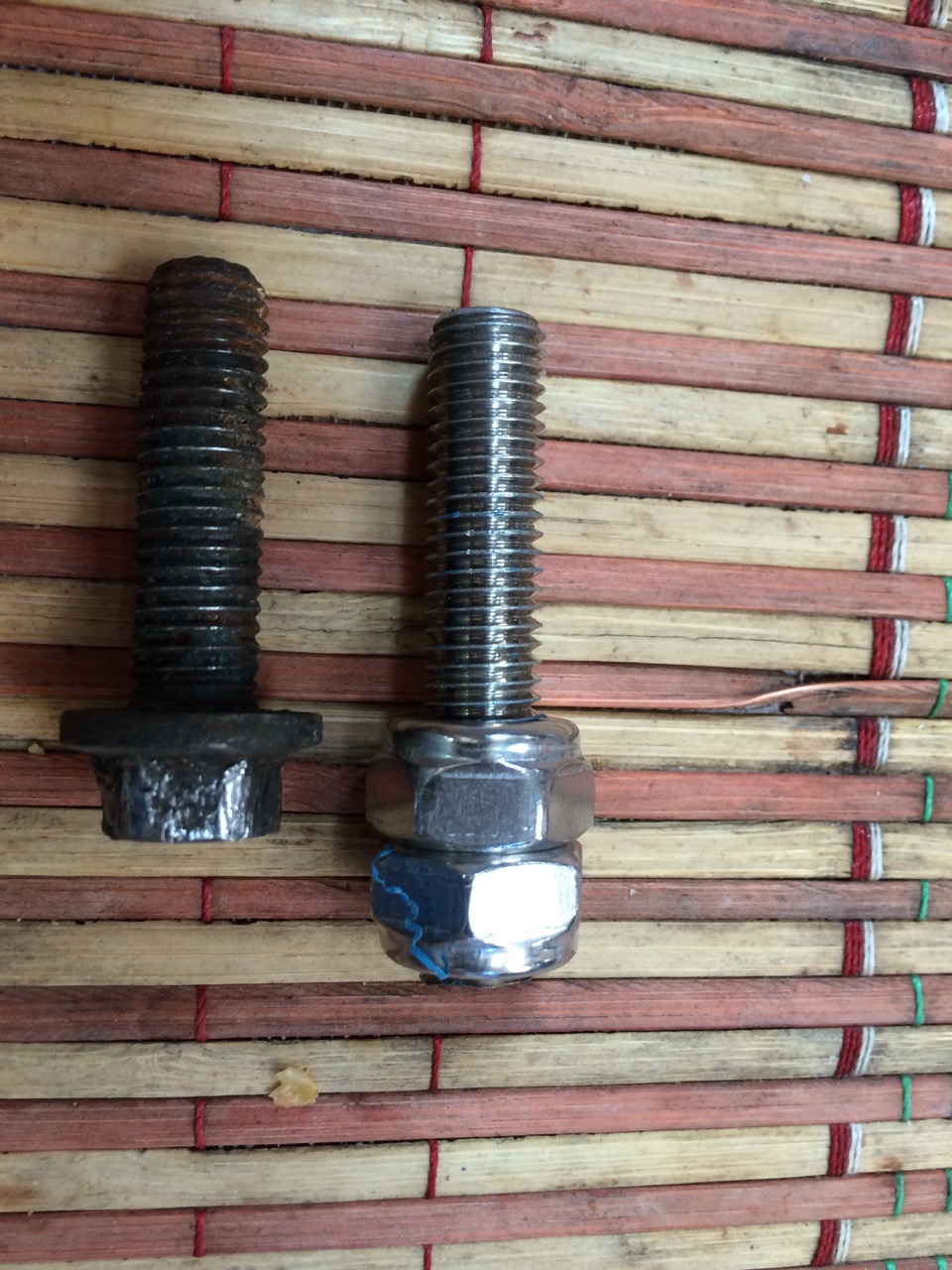
The boat is quite tidy now, I cleaned up the quarter berth on Friday and took the opportunity to inspect the rear of the boat behind the engine, from the inspection hatch in the quarter berth. I spotted some damage to the steering system, basically a fastening that holds part of the pulley that guides the steering cable had rusted and started to rip apart. This is a real pain, I’m going to have to take the steering apart, and then remove the steering pedestal to release the plate with the rusty part. To dismantle it will take a few hours, and the same to put back together, plus I won’t know if it can be repaired until I get it all out, If I’m smart, and mark the plate correctly, I can probably get the whole thing welded up locally. It has to be done, as if it falls completely, I may well lose the ability to steer, and this kind of failure only happens when navigating past an expensive yacht in a marina.
I managed to get the bikes up and running, but I soon found out how unfit I had become sitting at a desk for the last 6 months.
Saturday 13th
The co-op which is the main store here closes at 5:30 until Tuesday, so I headed on down at lunchtime in order to get some proper supplies for the weekend. I had just put a loaf into the trolley when the lights went out. Power was out, possibly to the whole Island. The lady on the till shut the shop, put the closed sign up and explained the main till was down, but the other till was ok for cash only and would run for a short while until it’s battery ran out. I quickly filled my trolley with a few more items, made it to the till just as it shut down. That was it, we were all kicked out of the shop. I asked a lady outside how long I could expect to wait for the power to come back, she told me it used to take one to two weeks, but these days it could be fixed a lot sooner. She pointed to a huge dead seagull in the middle of the road under the power lines and explained to me that was the culprit, and the cause of the loud bang a few minutes earlier.
A trip over the road to the petrol station showed they had no power, and wouldn’t sell me anything, odd really as I had cash, but without the till running they couldn’t serve me. Next I tried the baker, next to the co-op, he had power, he claimed he had a secret supply, he’s Finnish and I’m not quite sure he was telling the truth, but he sold me some bread, and a few cans of soda. Apparently the first chance of power returning is when an engineer might arrive on the next ferry so I will have to wait and hope for the best. Fortunately, we have a ton of tinned Japanese tuna and pot-noodles to keep me going.
Arriving back to the boat I found myself catching the middle of a program on Canada Radio CBC R1, “It’s important that the clitoris is stimulated by the penis” announced the presenter, I listened for a while to x rated detailed explanations before it became clear he was talking about Dolphins mating! It turns out they have a lot more fun than was previously thought, thinking about it, they do always seem to have a smiley face when they swim alongside us. Later on they did get onto sport proper, and I was pleasantly surprised to hear a program about the mathematical basis of Wimbledon’s ‘long play’ game, and how it worked well for a while, but was later shown to be mathematically flawed. All this in just a couple of hours on a Saturday afternoon. I spent the whole afternoon listening to CBC radio whilst continuing to clean the main cabin and bookshelves, I’m very impressed, they had a great show about the importance of vaccinations, focussing on a women who caught measles on a trip to London, followed by another slot urging people to get sign up as organ donors with some great stories reinforcing the importance.
A trip back to the co-op at 17:00 found the seagull removed and the power restored. The man at the co-op asked me if I had a number, I believe it’s normal for all islanders here to be members of the co-op and you give them your number at the till, I’m not sure why, I was told you don’t get a discount. My mum worked for the Co-Op in Moreton for many years, as I recall members got stamps which you gave to the nerdy child in your family (me) who meticulously stuck them into saving books. Presumably when you had enough full books you could claim a free onion or suchlike.
Sunday 14th
Double fried eggs on toasted sourdough bread, made by the Finnish baker with fresh coffee made for a delicious breakfast. Again the radio didn’t disappoint with a long in depth program about abuses by the Catholic Churche’s priests here in Canada.
The next task was to make a list of jobs to do. I have been putting this off for a while, as experience tells me that a list of boat job tasks can never be completed. This list will in effect outlive me, and I hate starting something I won’t complete. Anyway, as it turns out, I surprised myself by just how many jobs I had already completed en route here. The list seems completely manageable, of course it won’t be. The main tasks I have are
1) Engine Jobs: Fix water pump seals, weld up or replace oil cooler, Tidy up wiring and weld up steering pulleys.
2) Inside jobs: Fix deck wash pump & fresh water pump, Service water maker, Rewire mains side for 120/240V, Fit new radar, clean check chain plates.
3) Deck Jobs: Lots of varnishing, new Bow Platform, repair cockpit seat hinges, repair monitor steering, replace gas hose and fittings, repair gelcoat on cabin top where dinghy wrecked it.
4) Hull: Clean and polish
5) Haulout: Antifoul and replace anodes, hull, prop and bow thruster. Buy liferaft (should have done this last item before we left Japan, don’t tell Kathy)
Looking more closely at the problem with the steering made me realise it’s a massive job to get the broken bracket (for want of a better description) out of the boat, as a load of cables pass through a hole in it, steering, throttle,gear change, gps, bow thruster controls, power, and another fat cable I’m looking forward to finding out where it goes as I don’t think we have been acquainted yet.
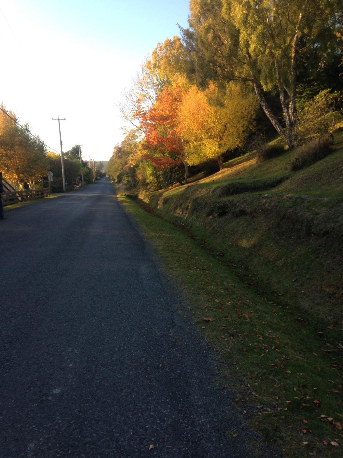
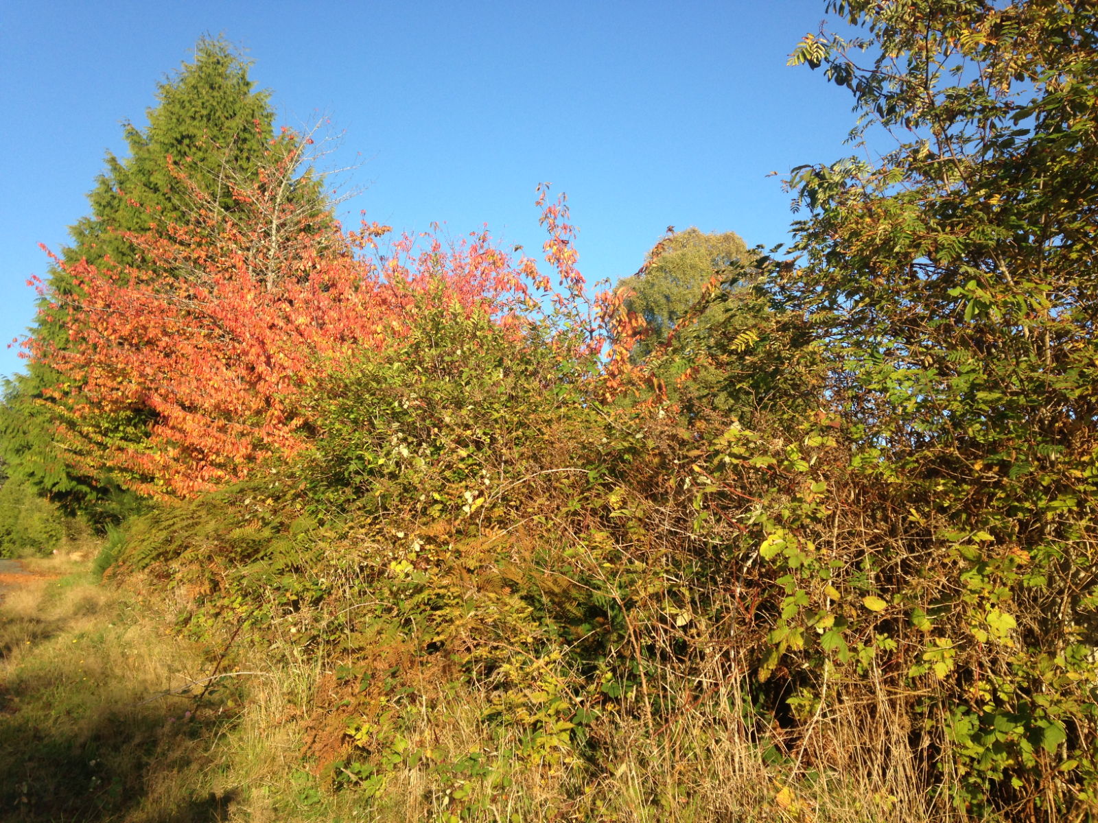
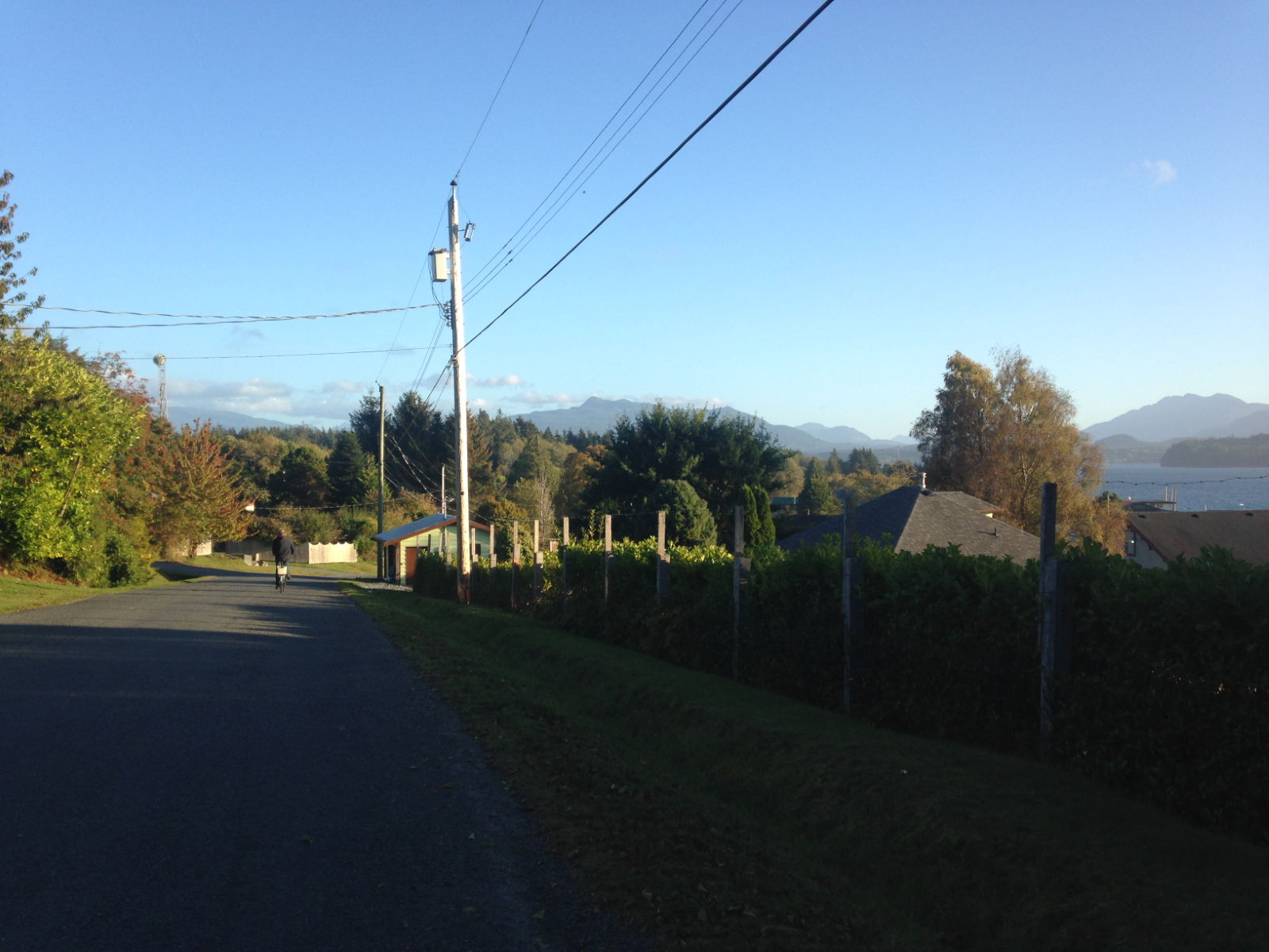
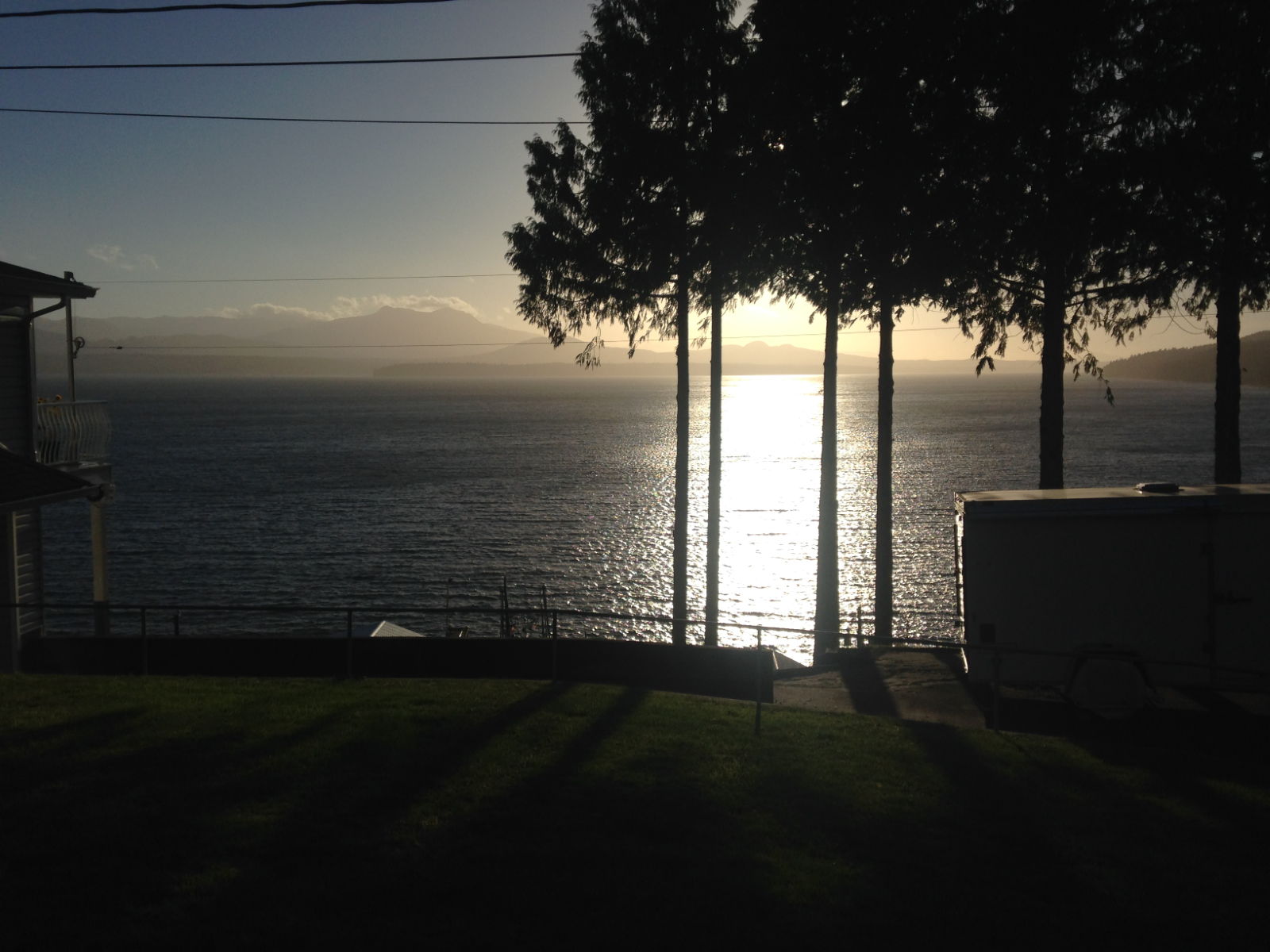
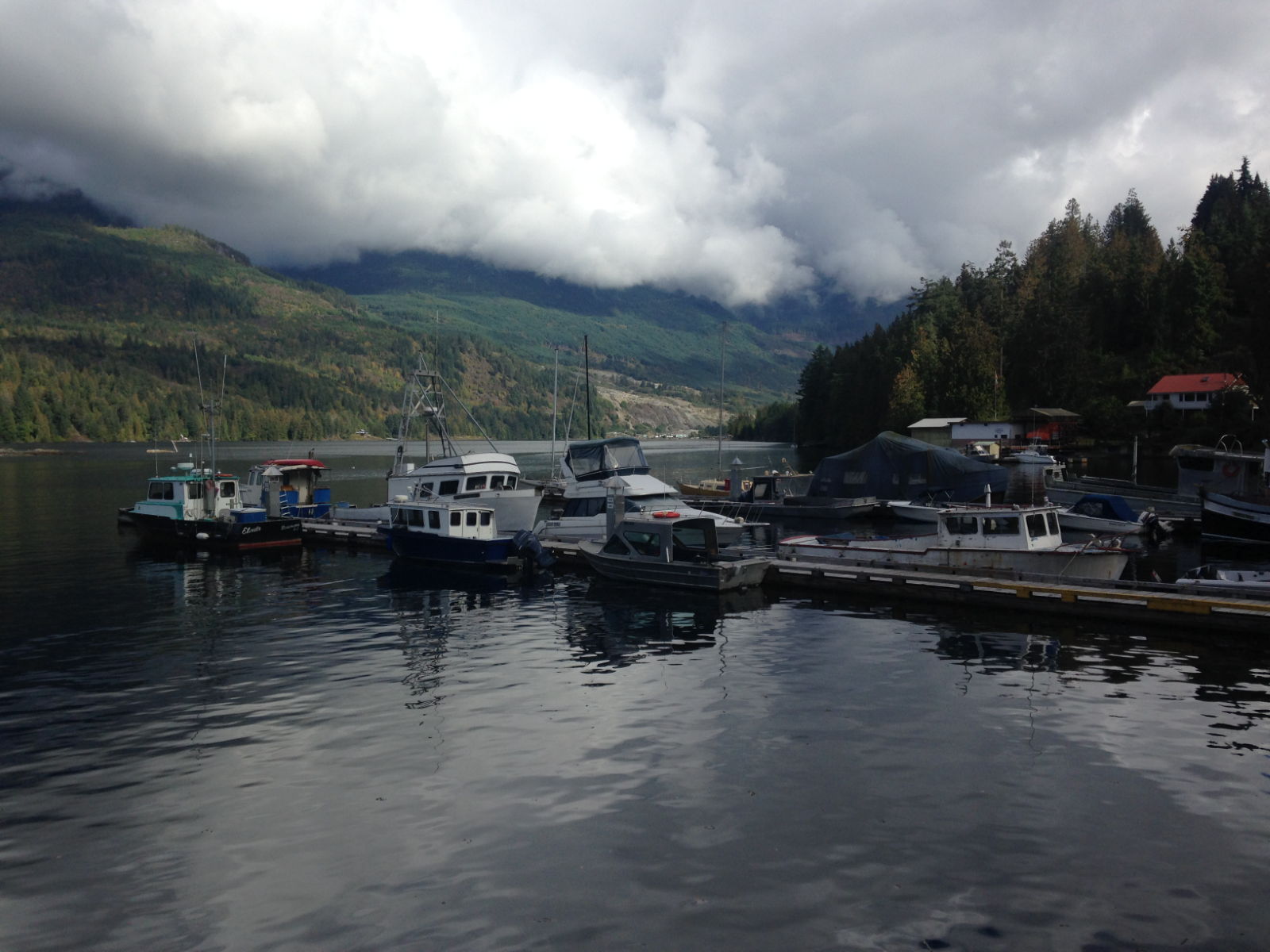
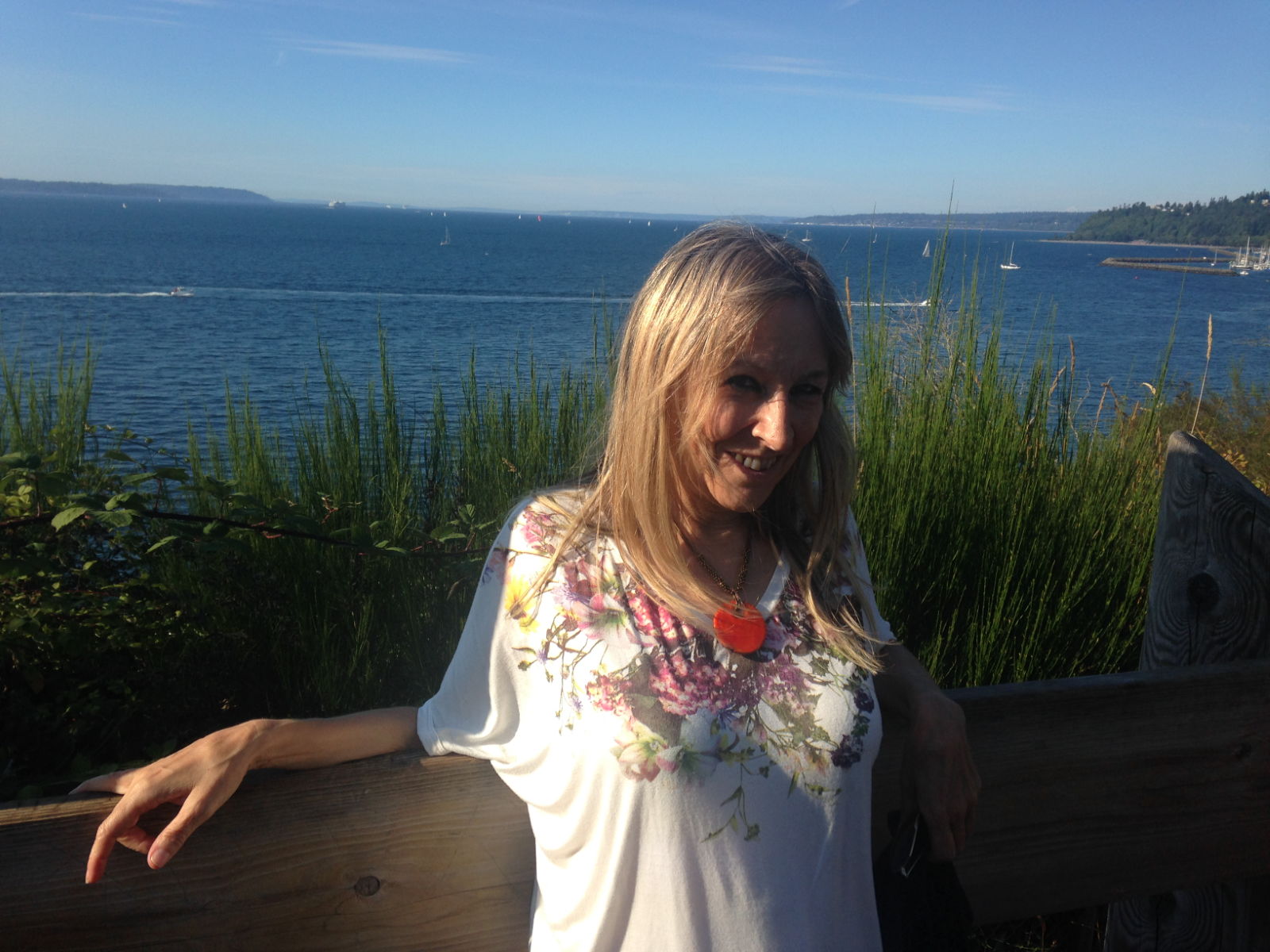
The weather seems similar to back home from what Kathy tells me, cold most of the time, and not that spring like. When the clouds lift here it’s lovely, with snow capped mountains in the distance.
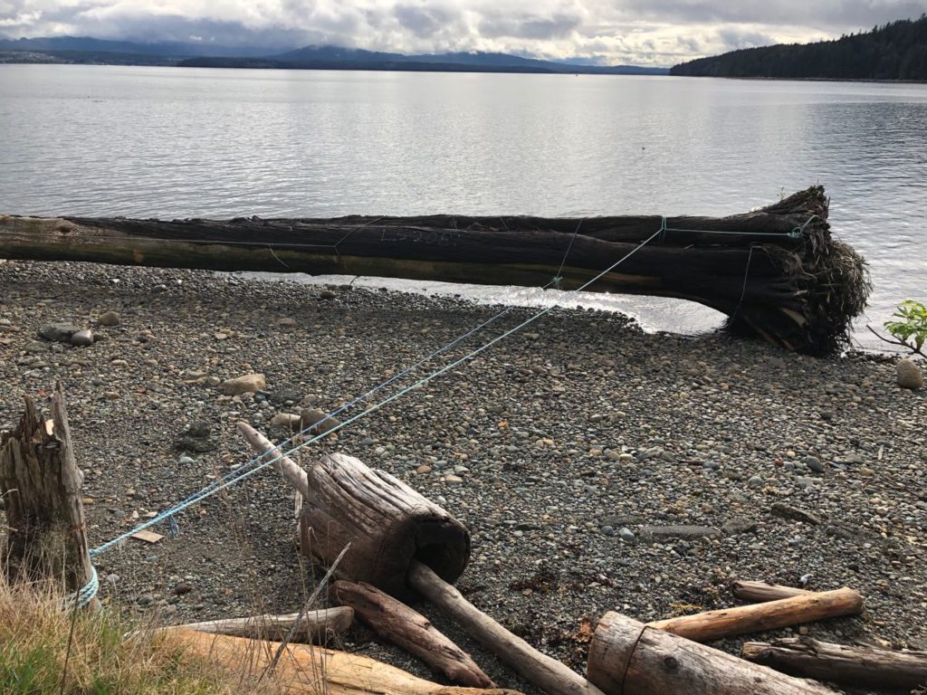
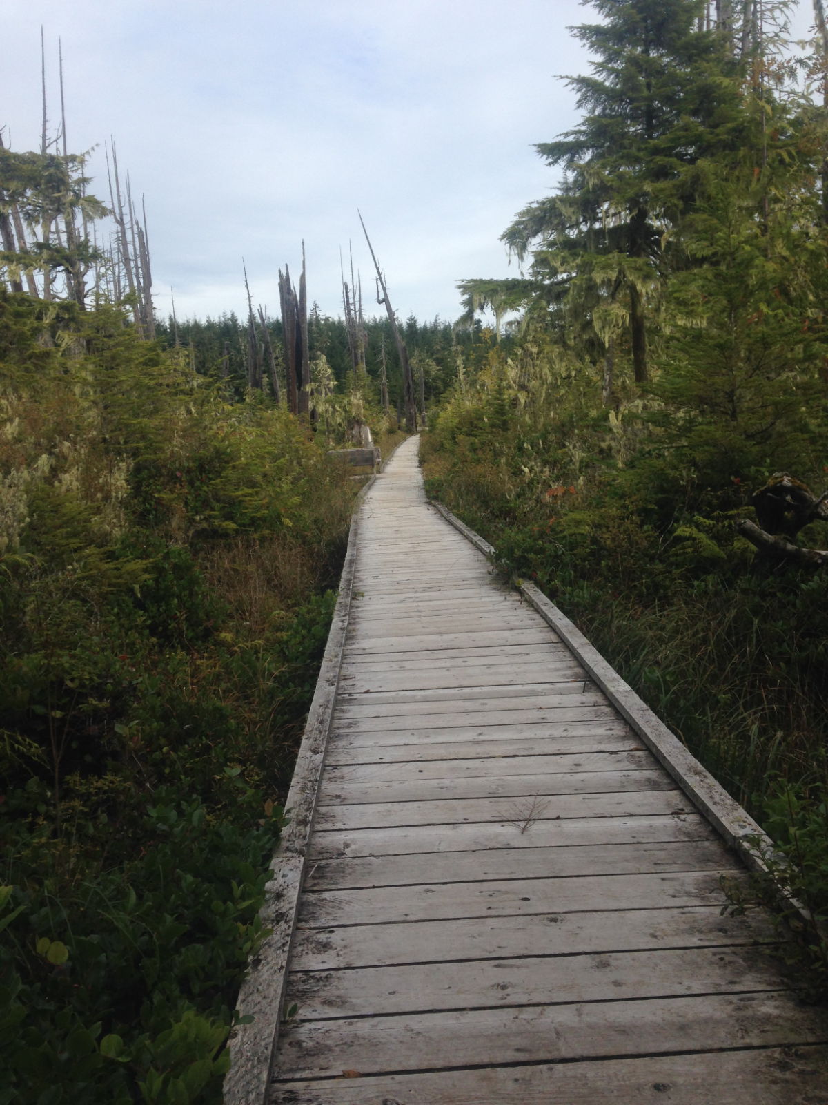
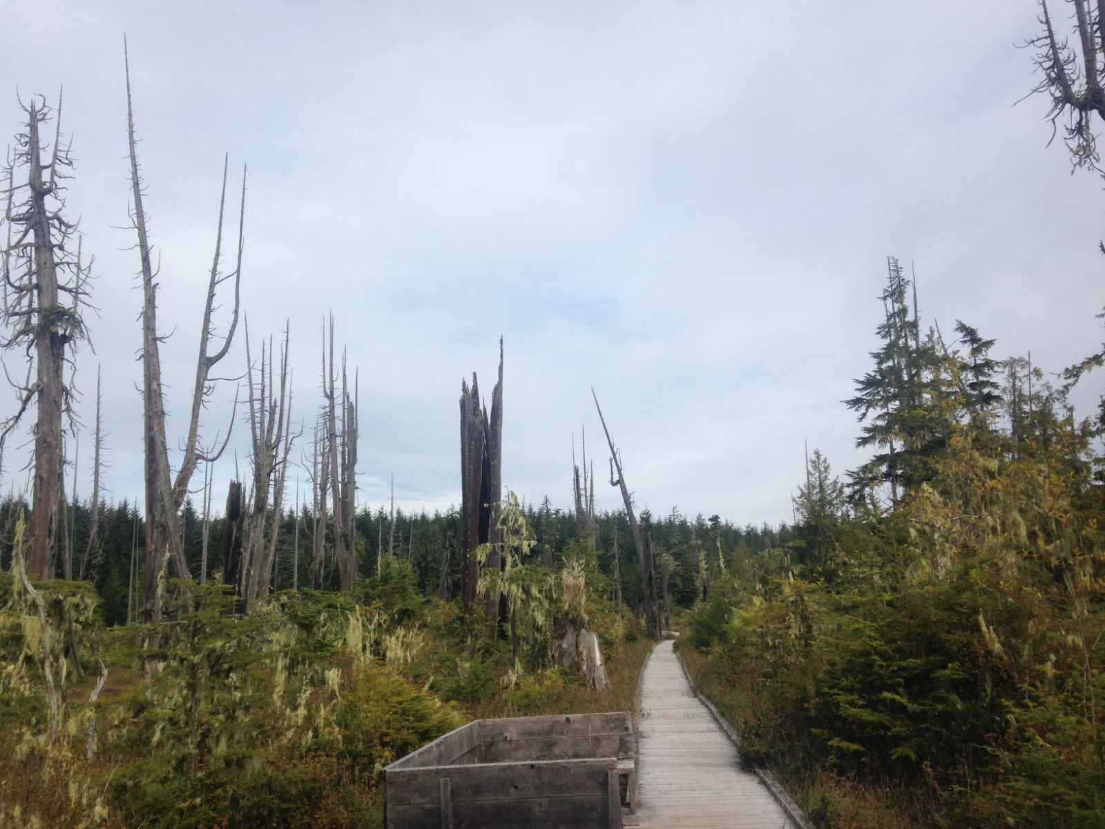
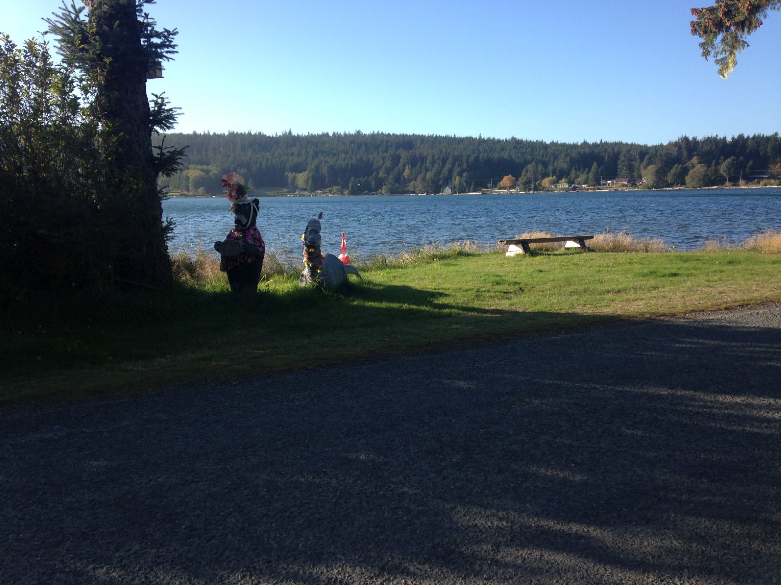
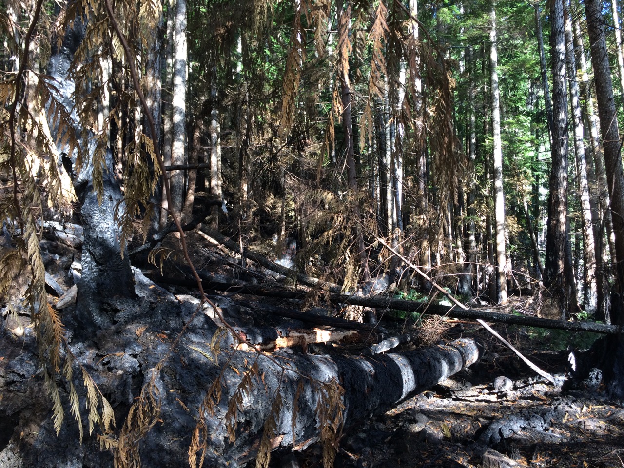
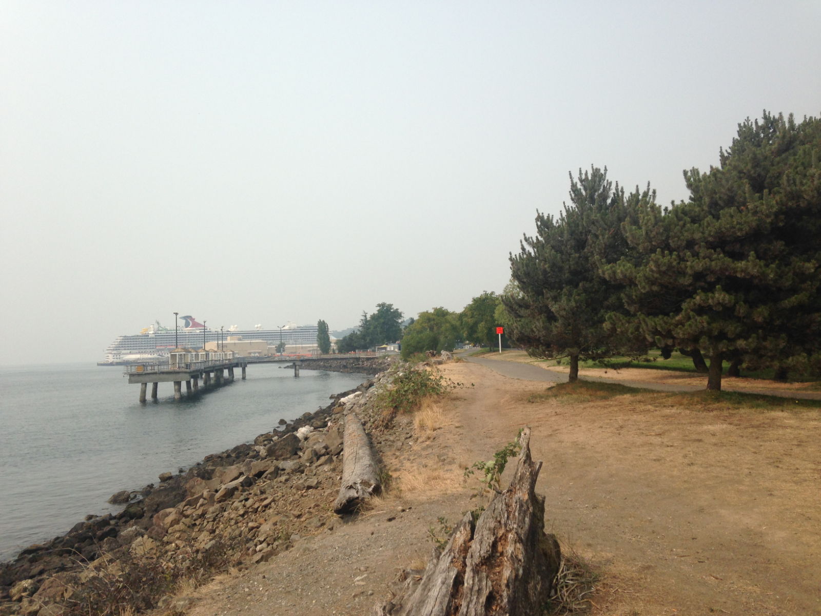
I spotted a lot more trees that have been washed up and tied to the shore at high tide to stop them escaping. This is the kind of thing we need to keep an eye out for when on the water.
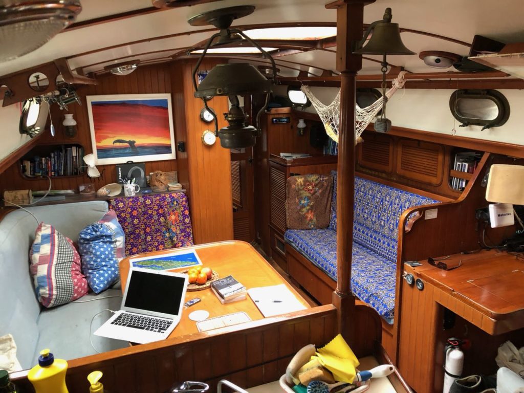
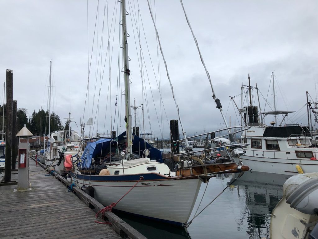
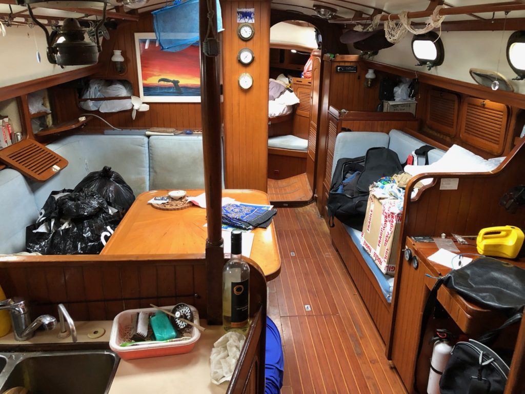
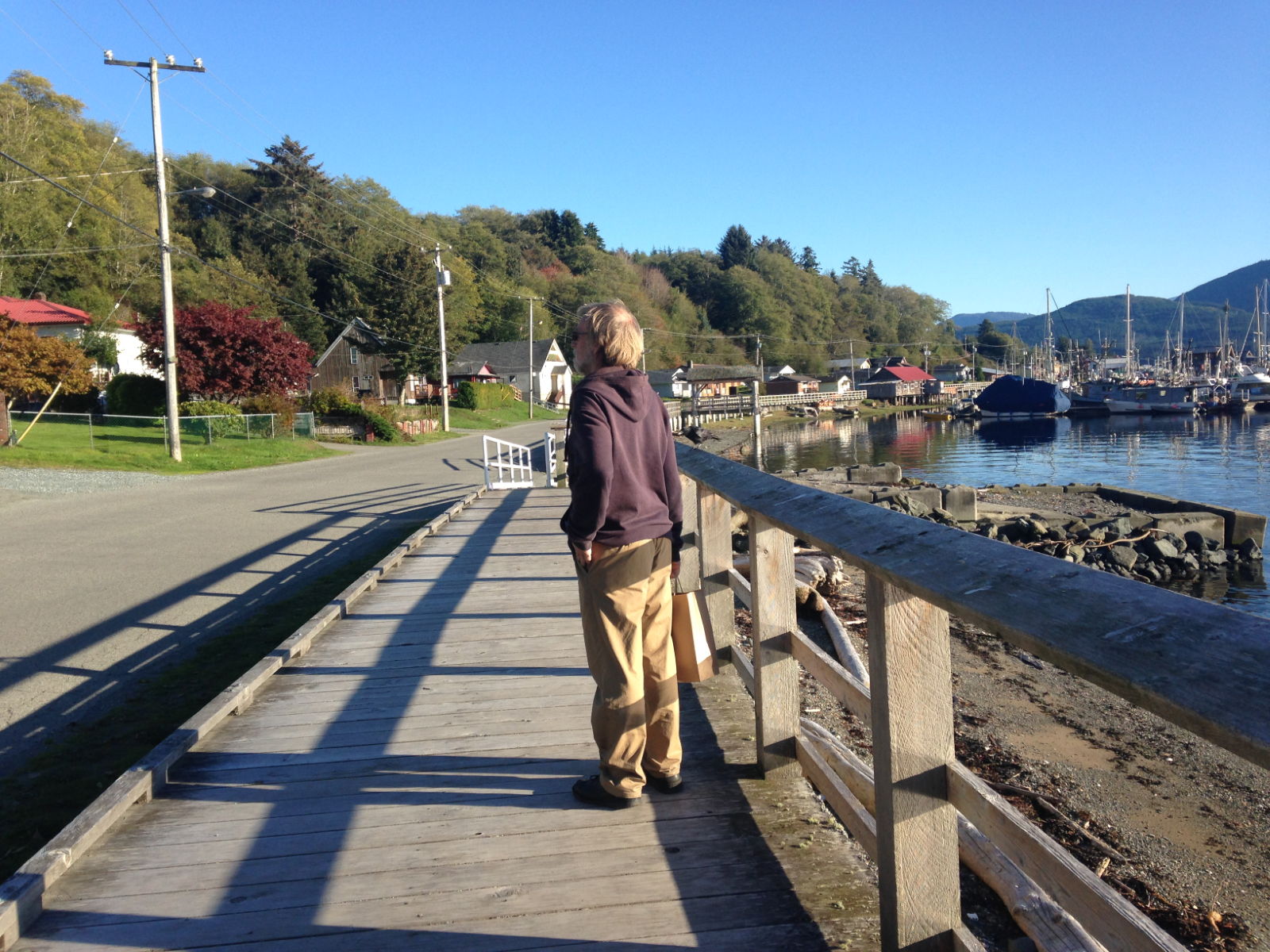
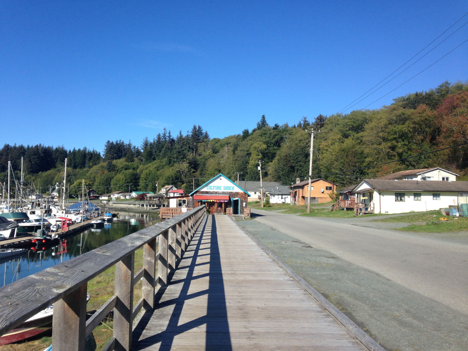
The boat is finally cleaned up and very cosy now. I have a snippet of free wifi, and have spent today doing programming work, the boat jobs can wait a bit. I fired up the SSB yesterday and that seems to be working fine, but there’s lots of static out there.
Paul Collister
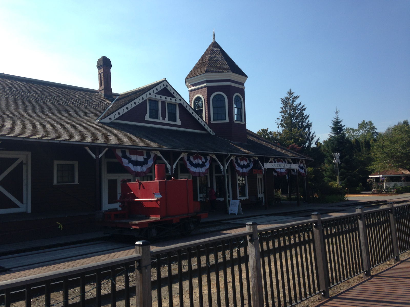
 This is the steam powered clock in the city’s Gas district on the waterfront.
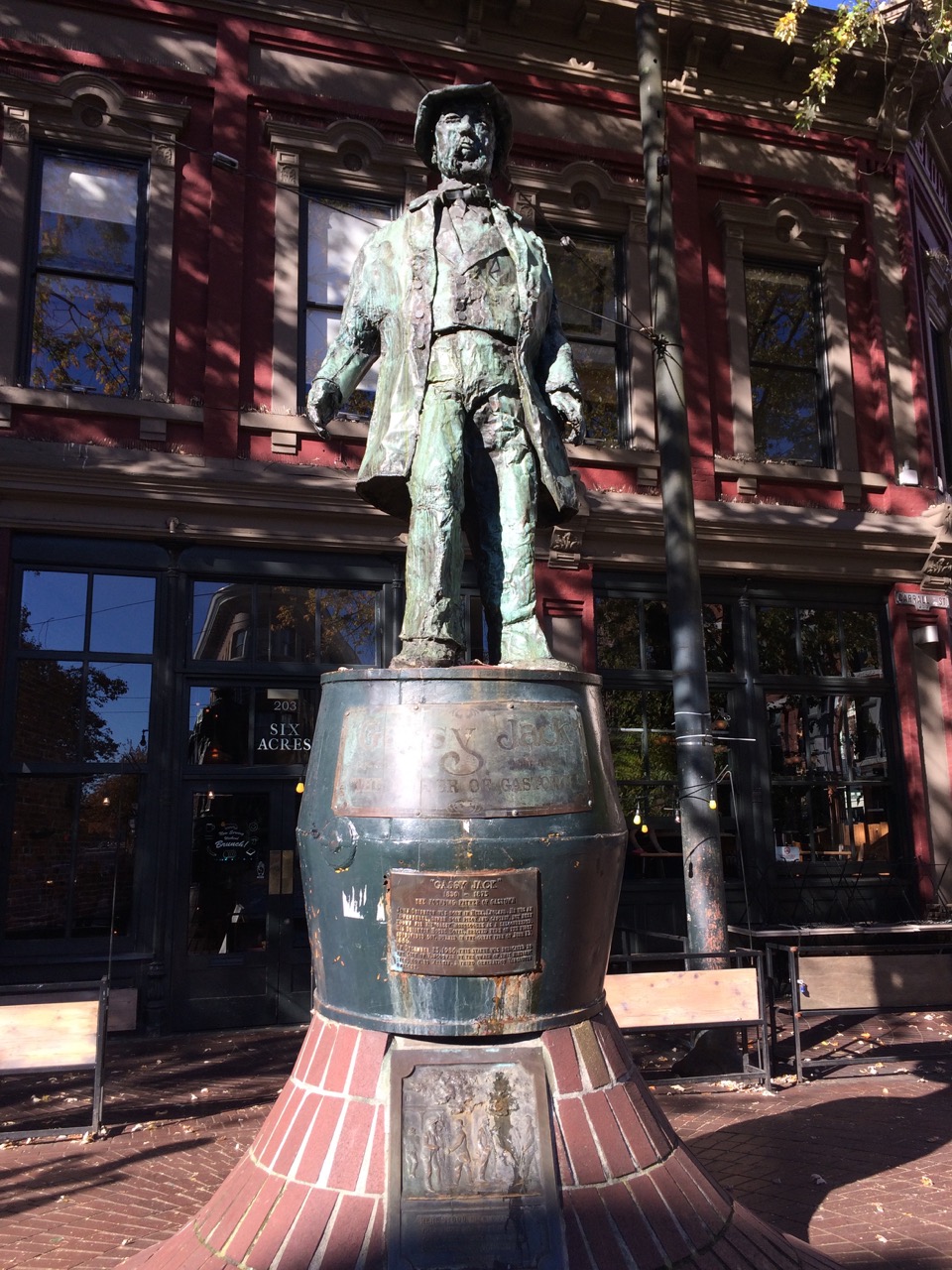
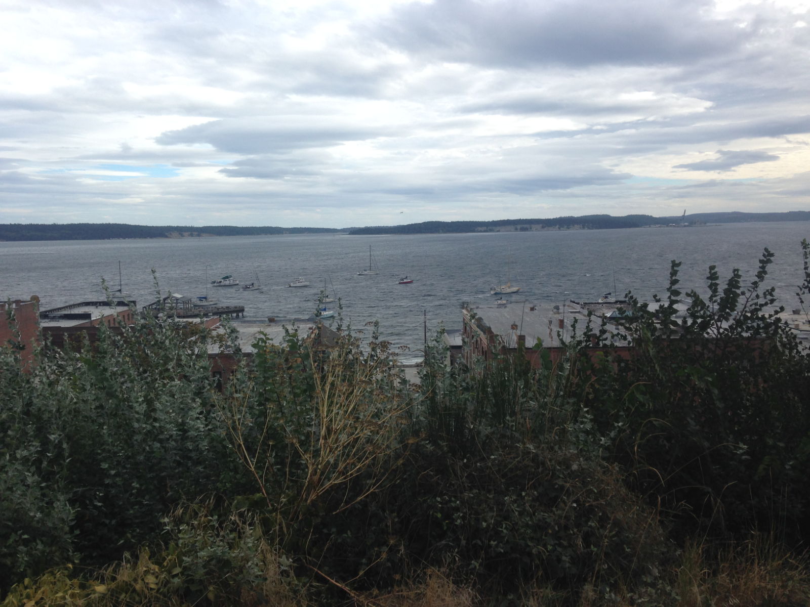
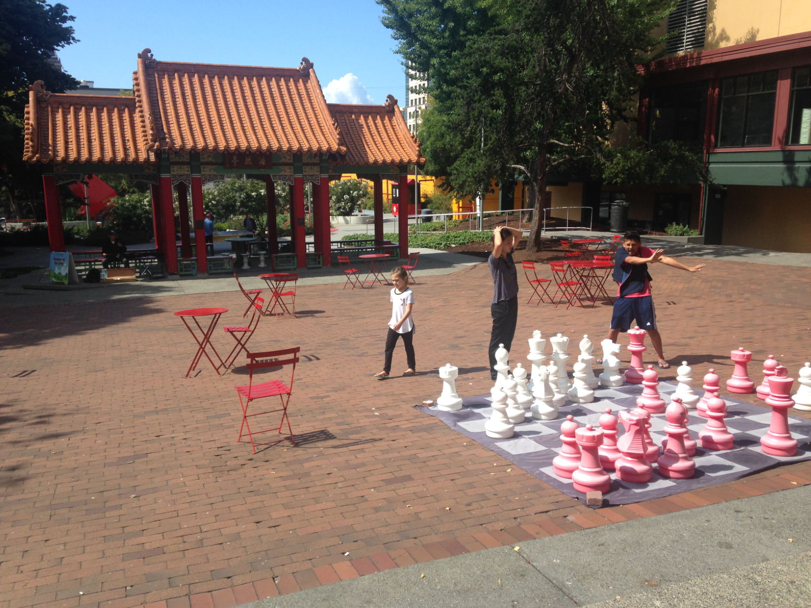
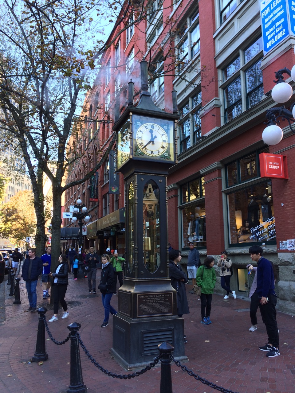 And these guys must make most Canadians groan in the way I do whenever an American film on the UK has the obligatory red bus/ telephone box and beat bobby. There’s no shortages of tourist gift stores in this area, much like every city we have ever visited. However a lot of the gifts were high quality and if I was richer, everyone might have got Vancouver branded clothing for christmas.
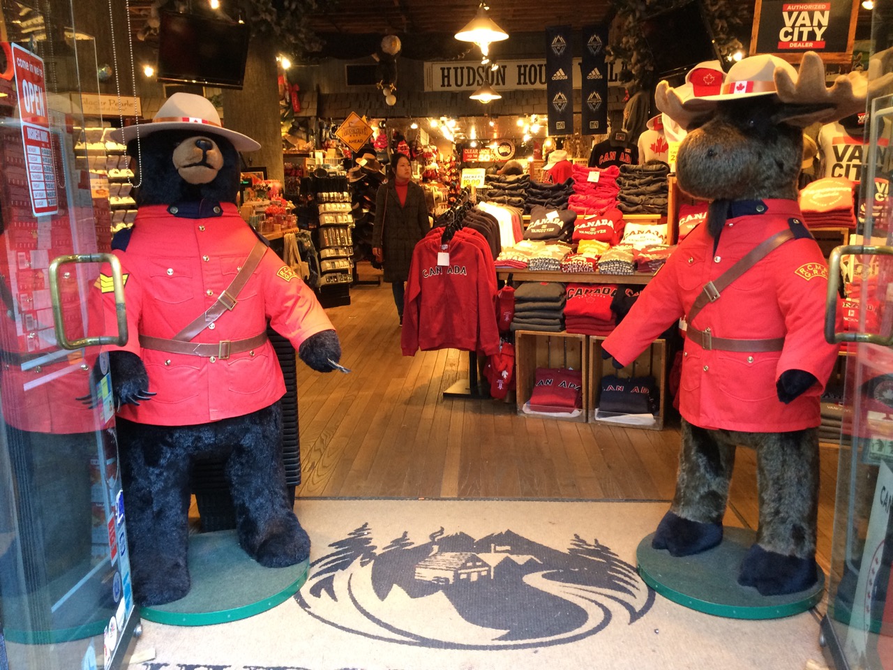 So we had a pleasant dinner in a grand railway station building at the Waterfront station then headed off to the airport where we got a budget flight home on Air Transat. The 9 hour flight went quite quickly and we were soon back in dreary Manchester on the train home to Liverpool.


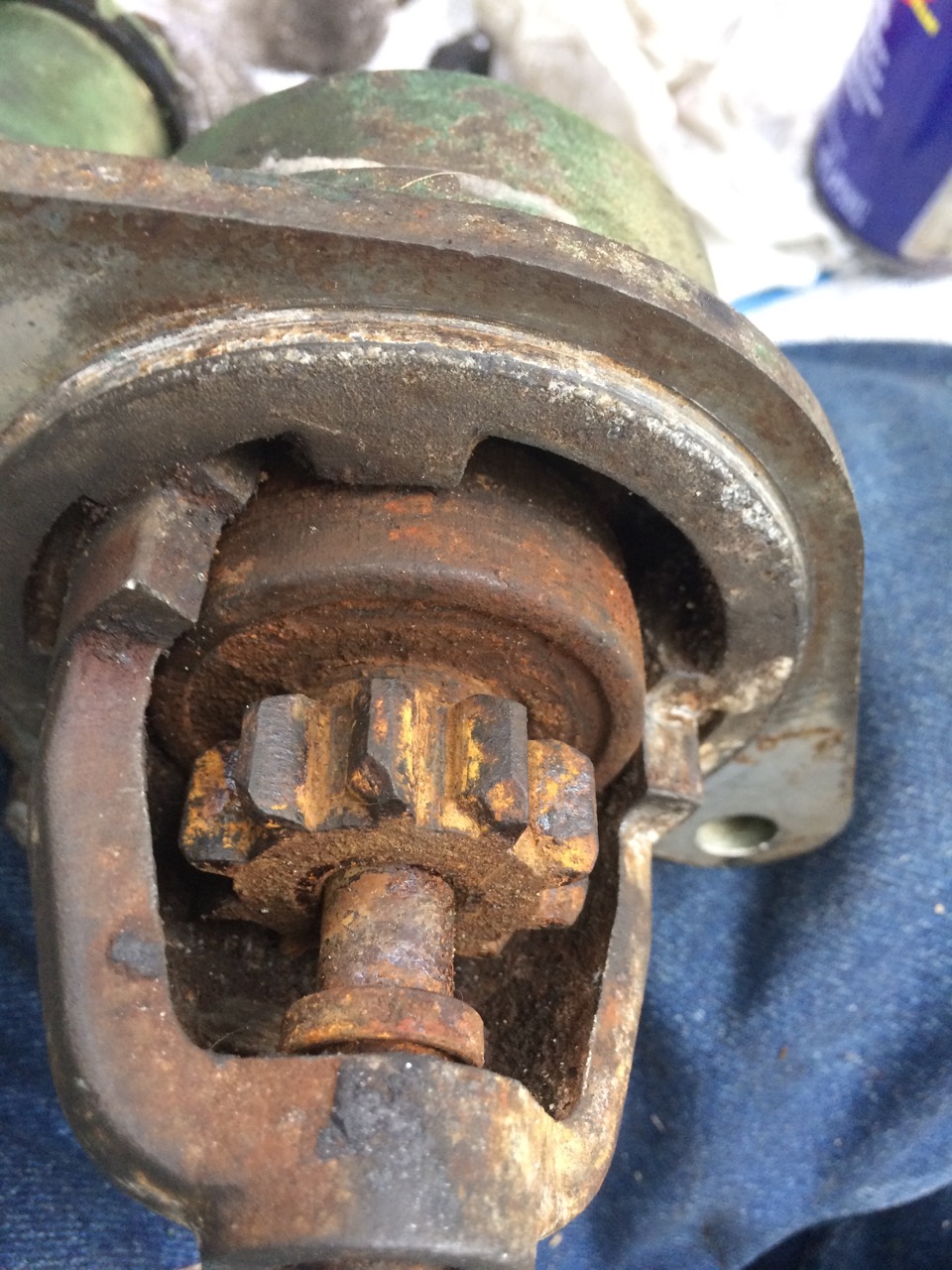
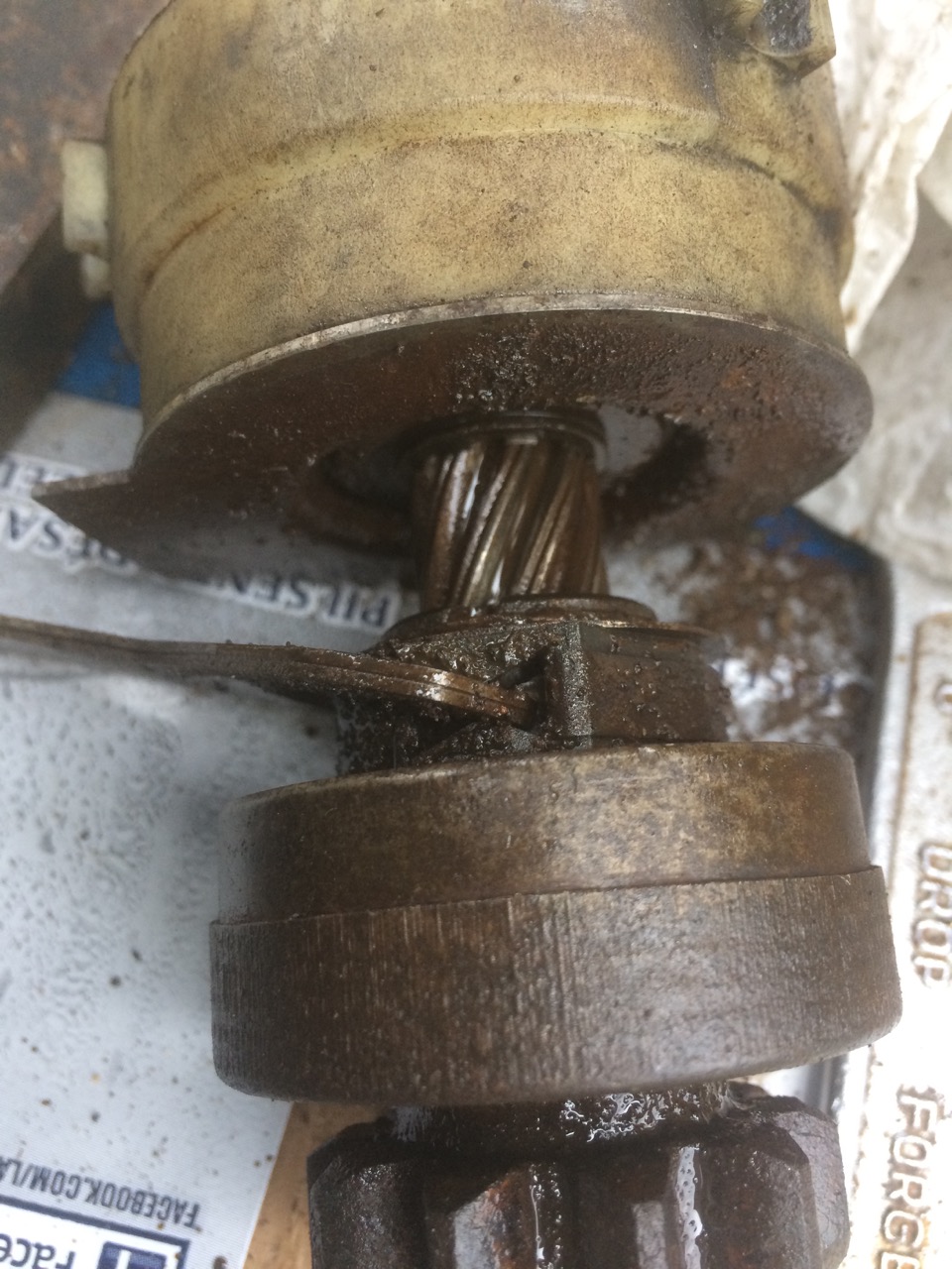
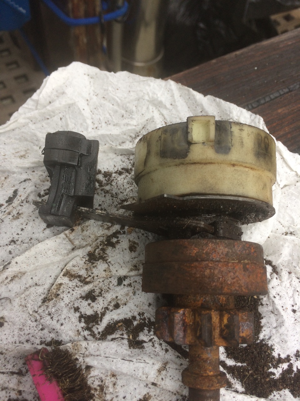
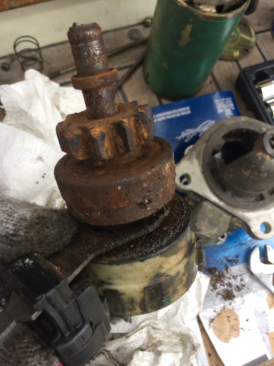
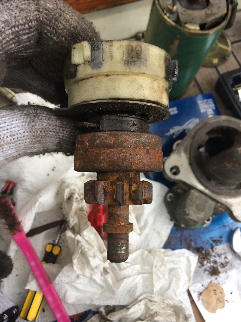
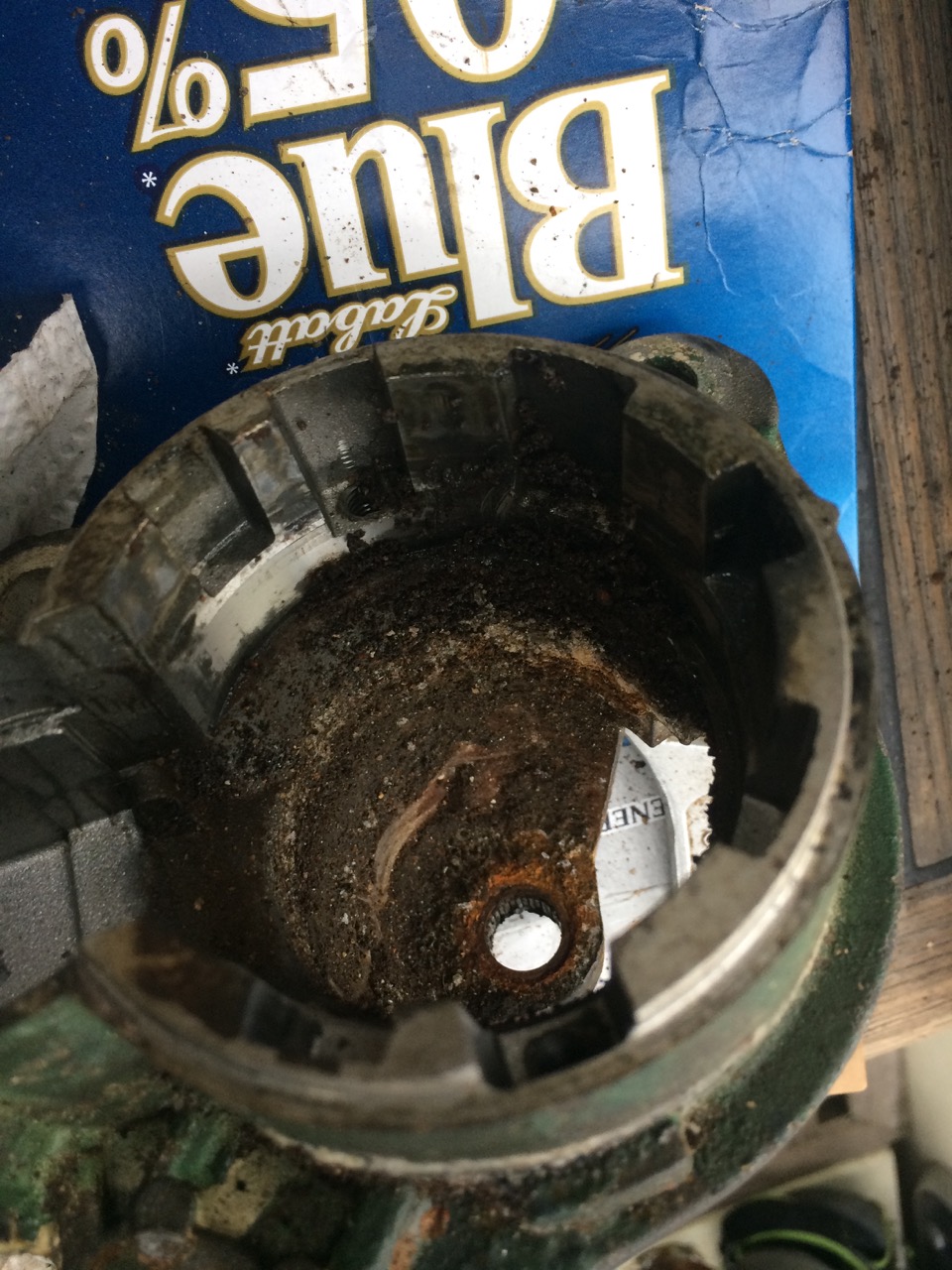
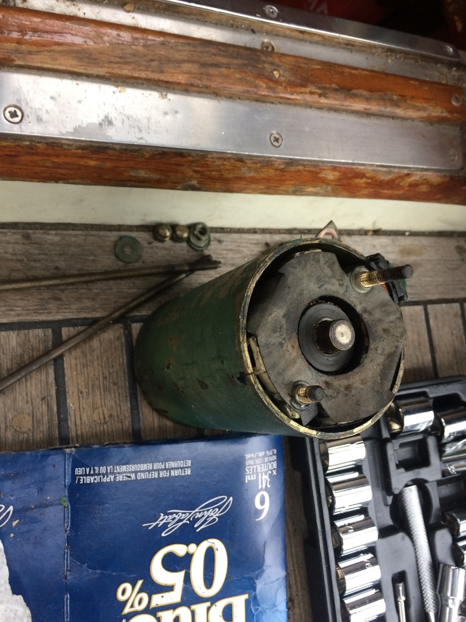
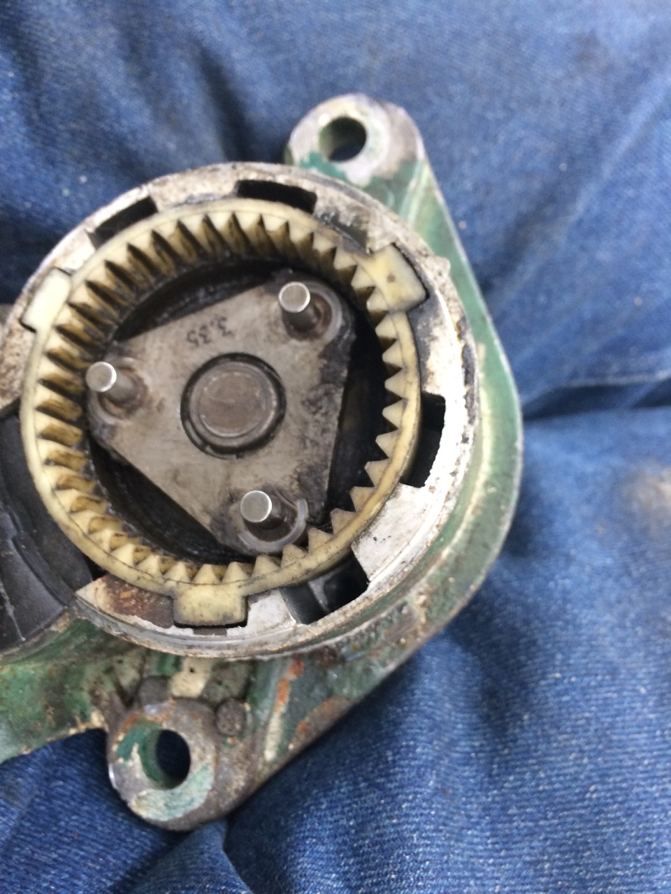
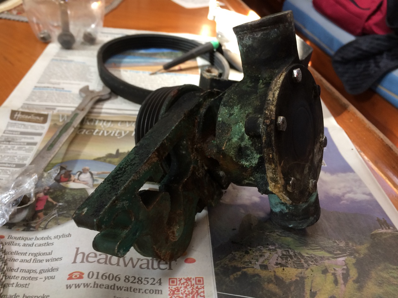
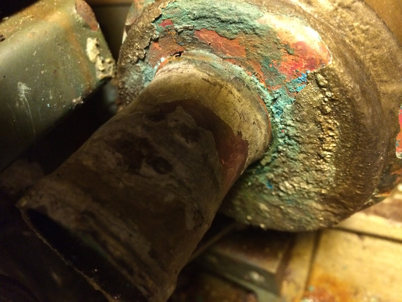
 The pump cleaned up ok, but it took a while to find the correct pump in the workshop manual as there are two different types used depending on age.
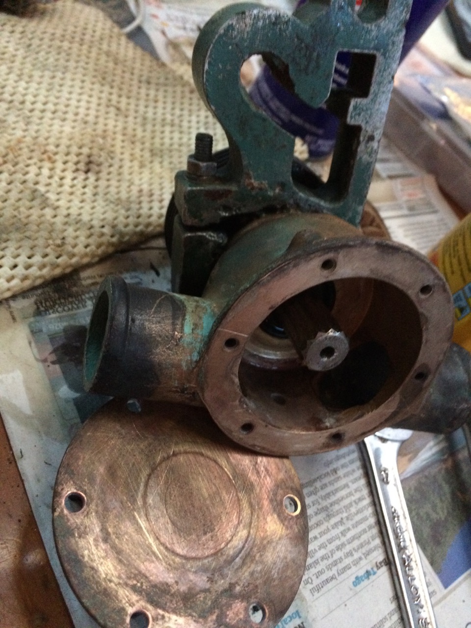 Further inspection revealed that I didn’t have any spares, even though I couldn’t see any wear on the rubber o-ring that was in there, and the diagram didn’t show any other seals. I filled the chamber with water and nothing dripped out. I wondered if perhaps the pipes feeding/taking water to the pump were leaking at the join and the water being squirted to the back of the pump. Unlikely, but it was my only hope for a quick repair.
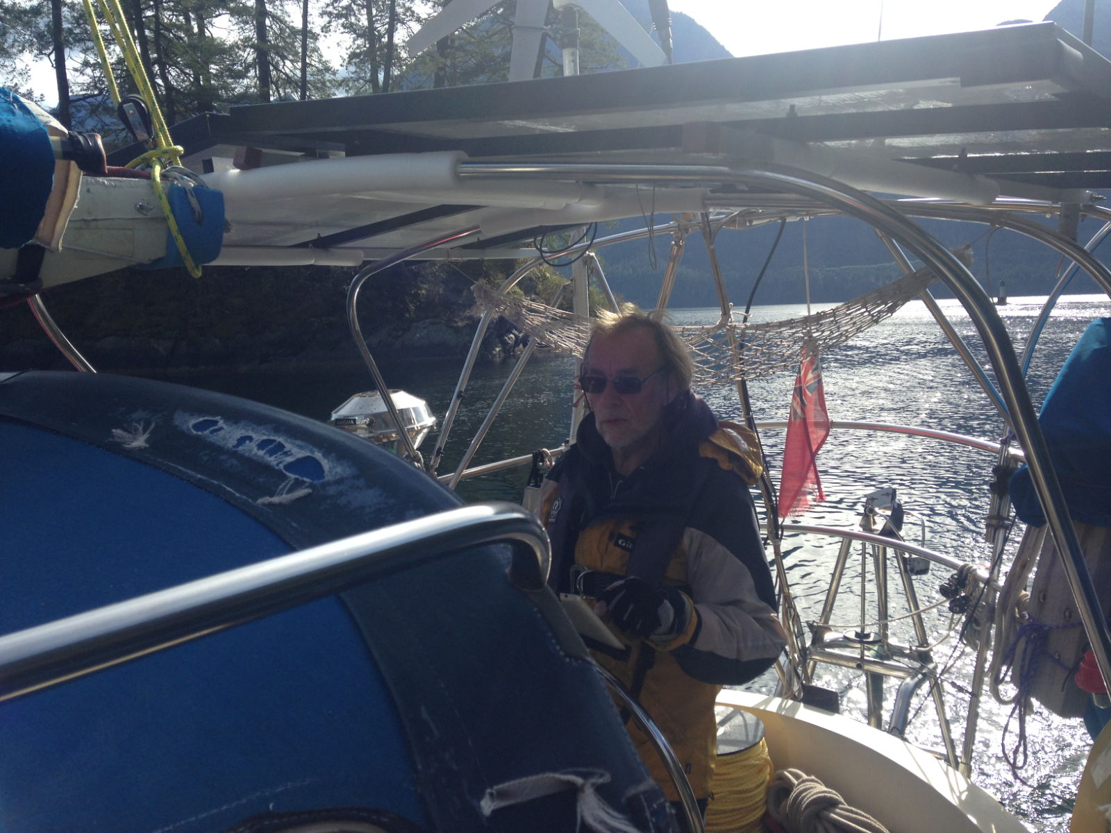
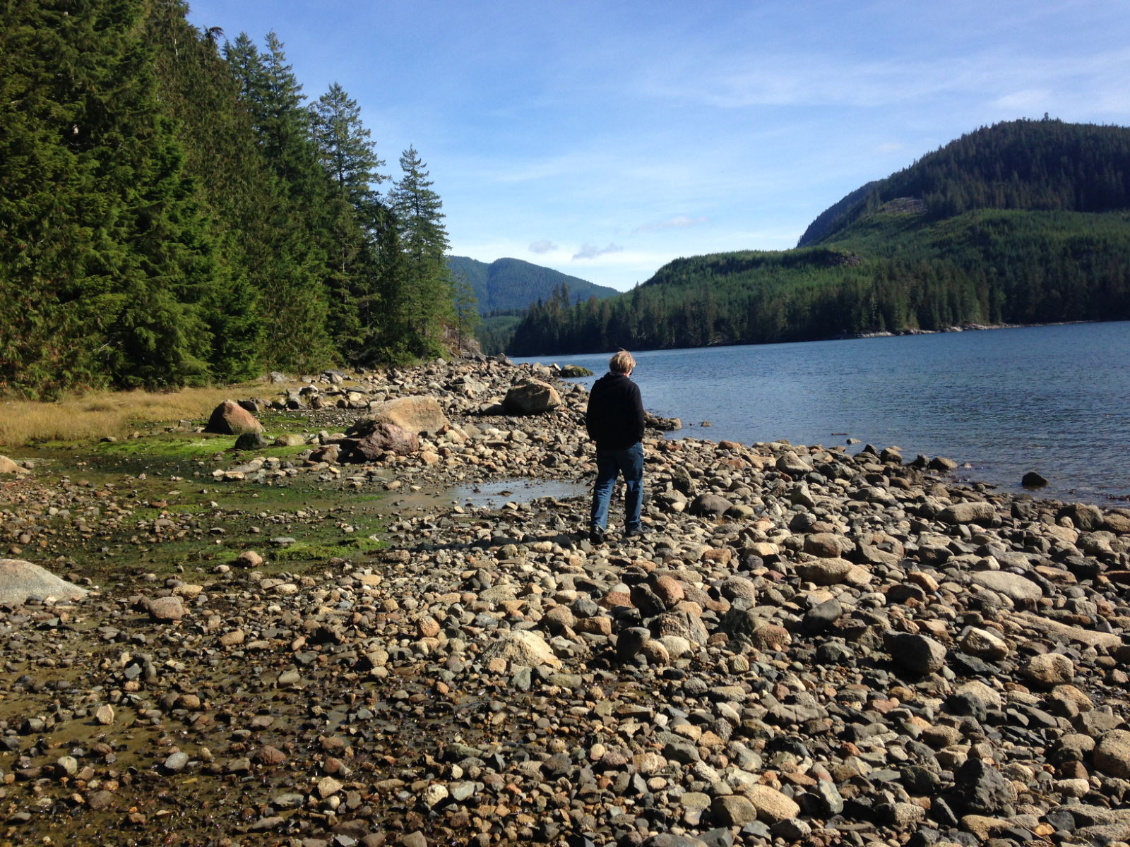
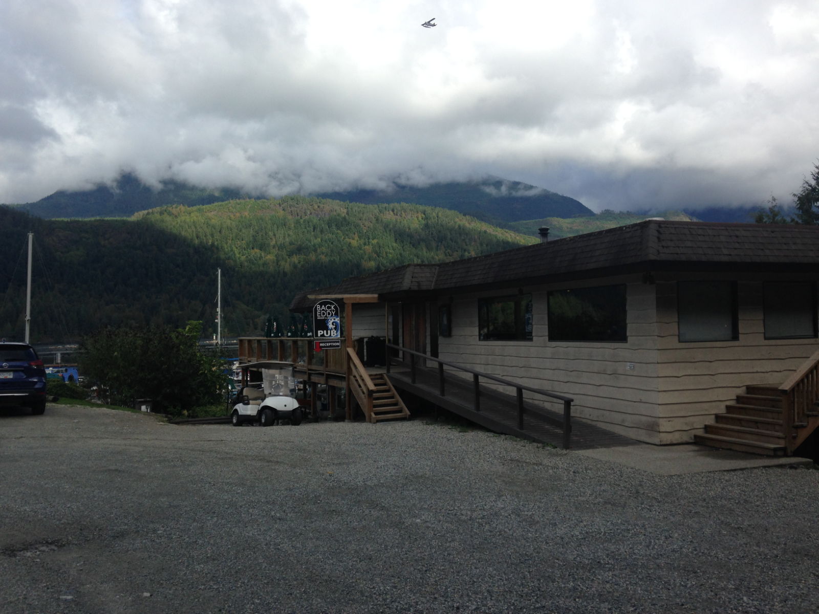
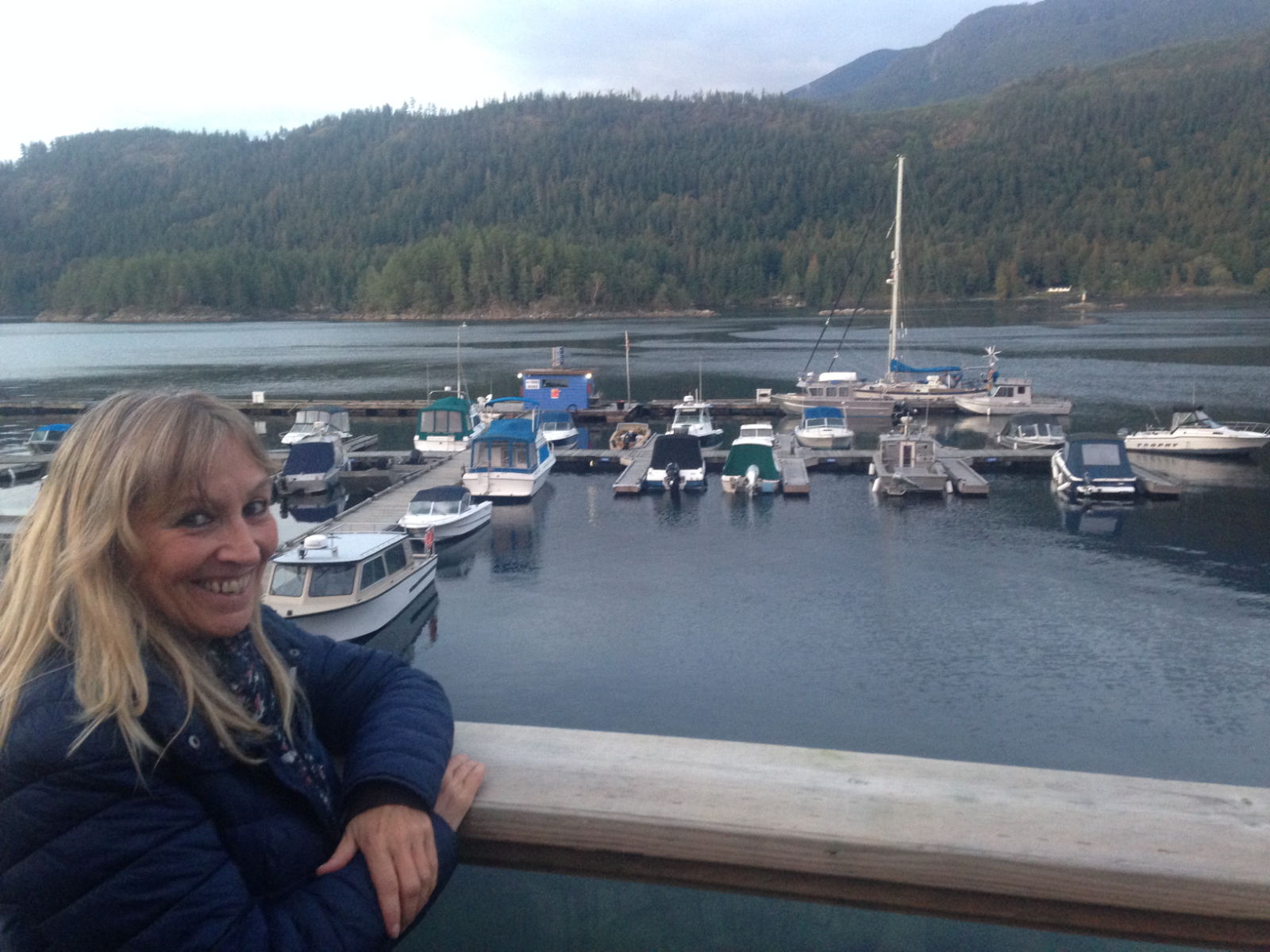
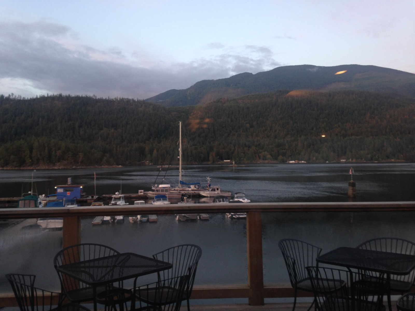
 After our trip to Princess Louisa Inlet we returned to Egmont, this time to the public wharf where I messed up the mooring, I had assumed that as the tide was flooding I would be pushed away from the boat we were rafting to, so got really close, as it turned out the tide was running the other way, so my bow was pushed onto the boats quarter, and my stern was soon pushed onto the boat behind him. How embarrassing, I thought I was getting better at this. However the tide wasn’t strong and we pushed off, the fenders prevented any damage, but as always some part of my boat wanted to leave me for the other boat, and in this case it was the barbeque that was trying to merge with some steelwork on the other boat. A good push and we were all sorted. The reason the current was the opposite to what I expected was due to it reversing direction near the shore, I should have considered this especially given the name of the marina next door ‘BackEddy Marina’.
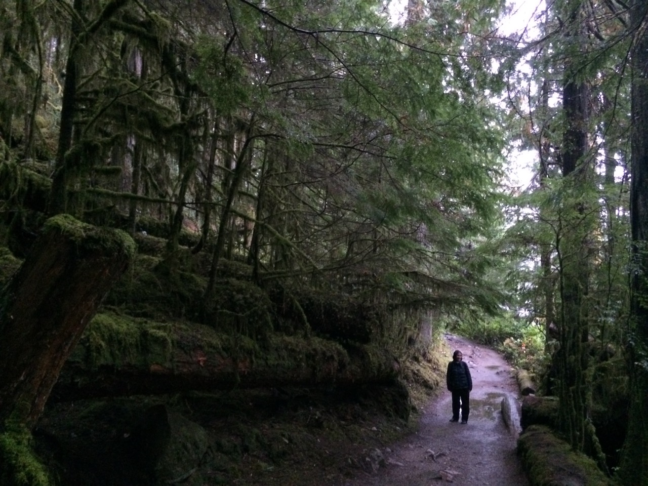
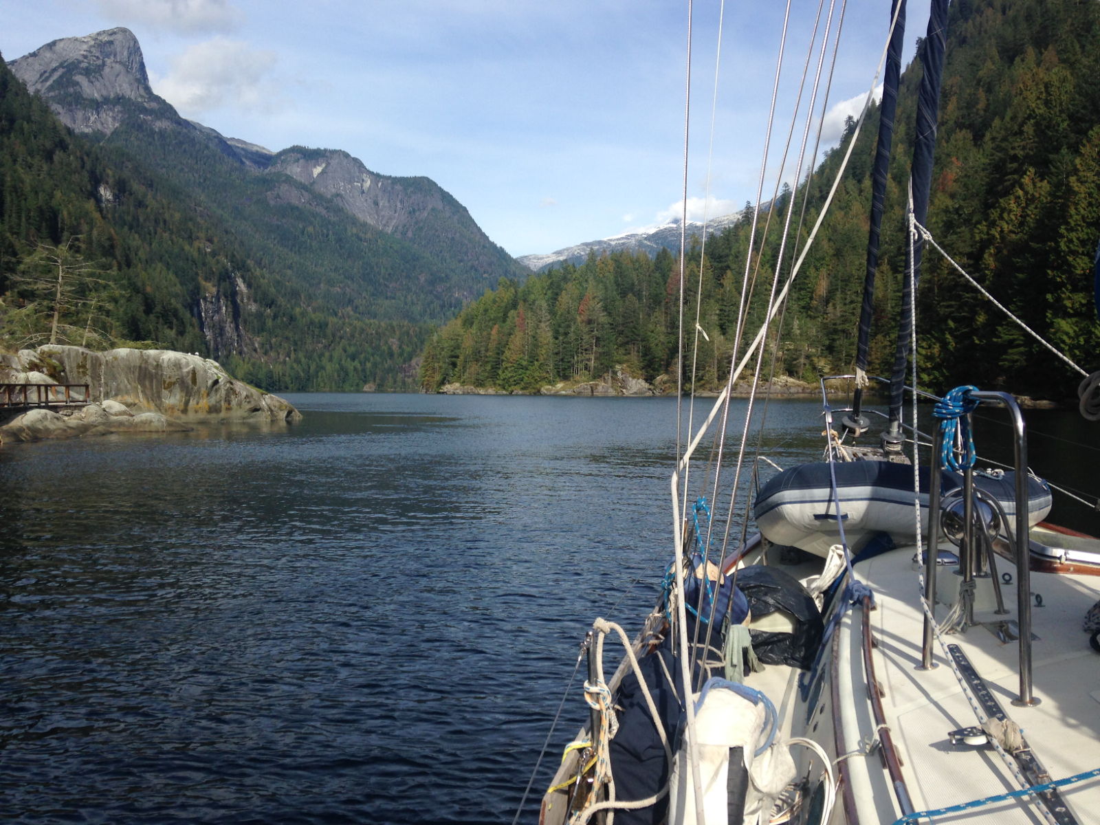
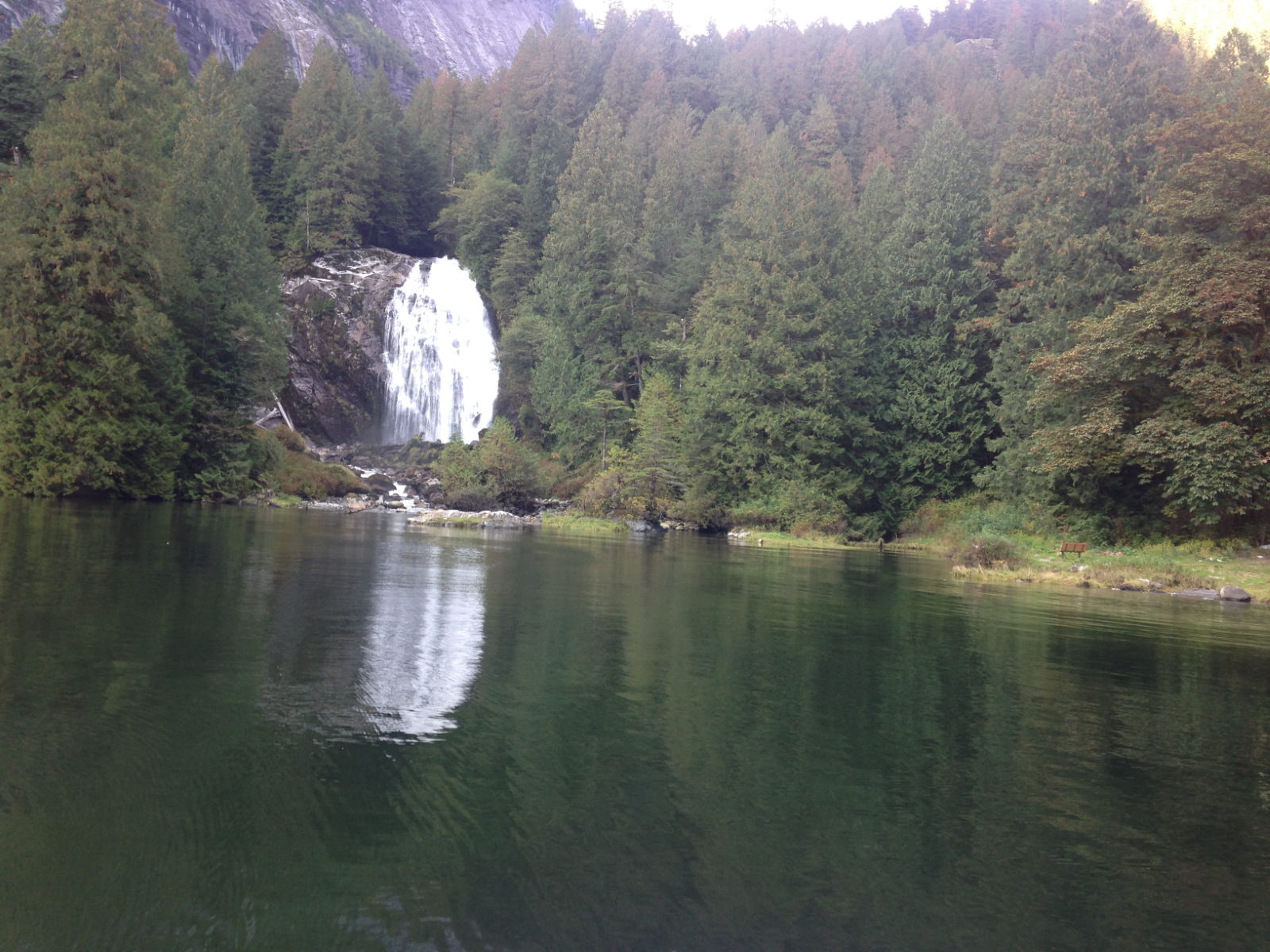
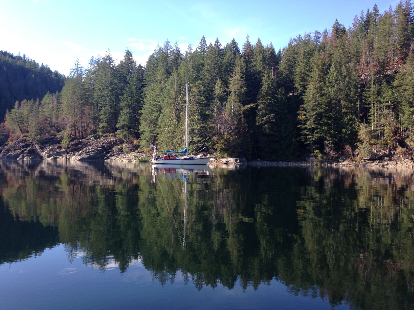
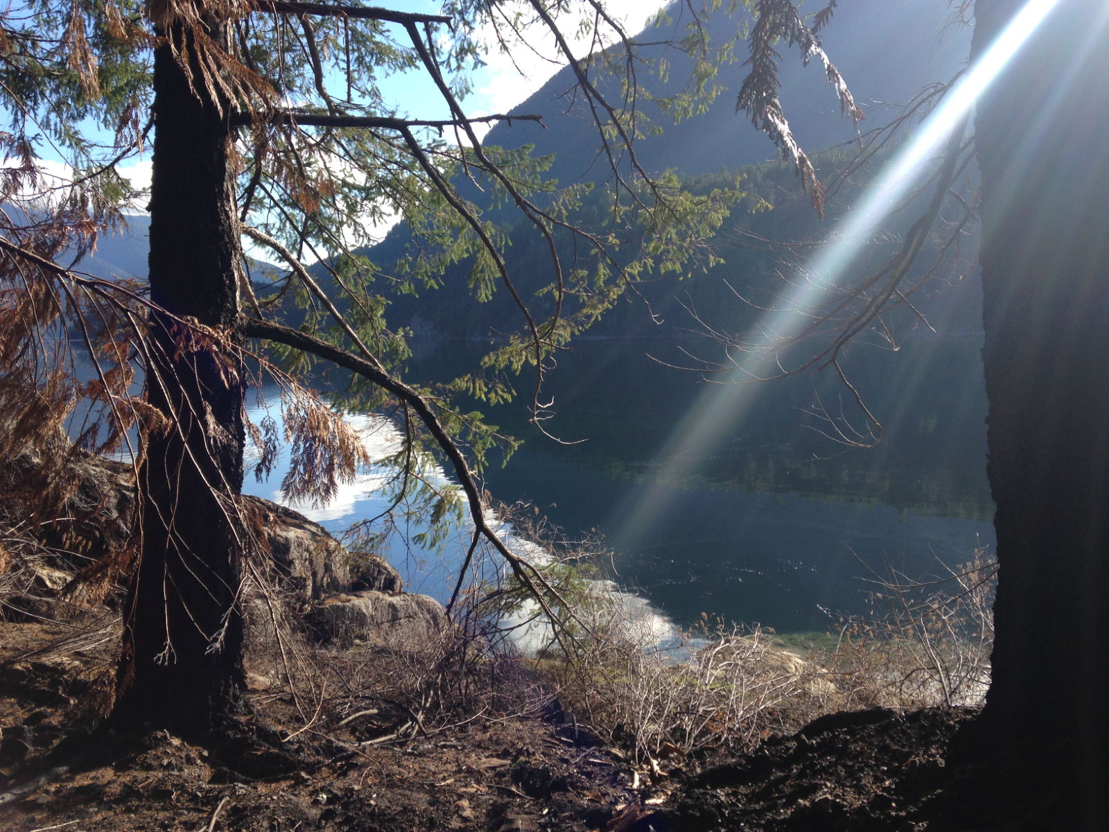
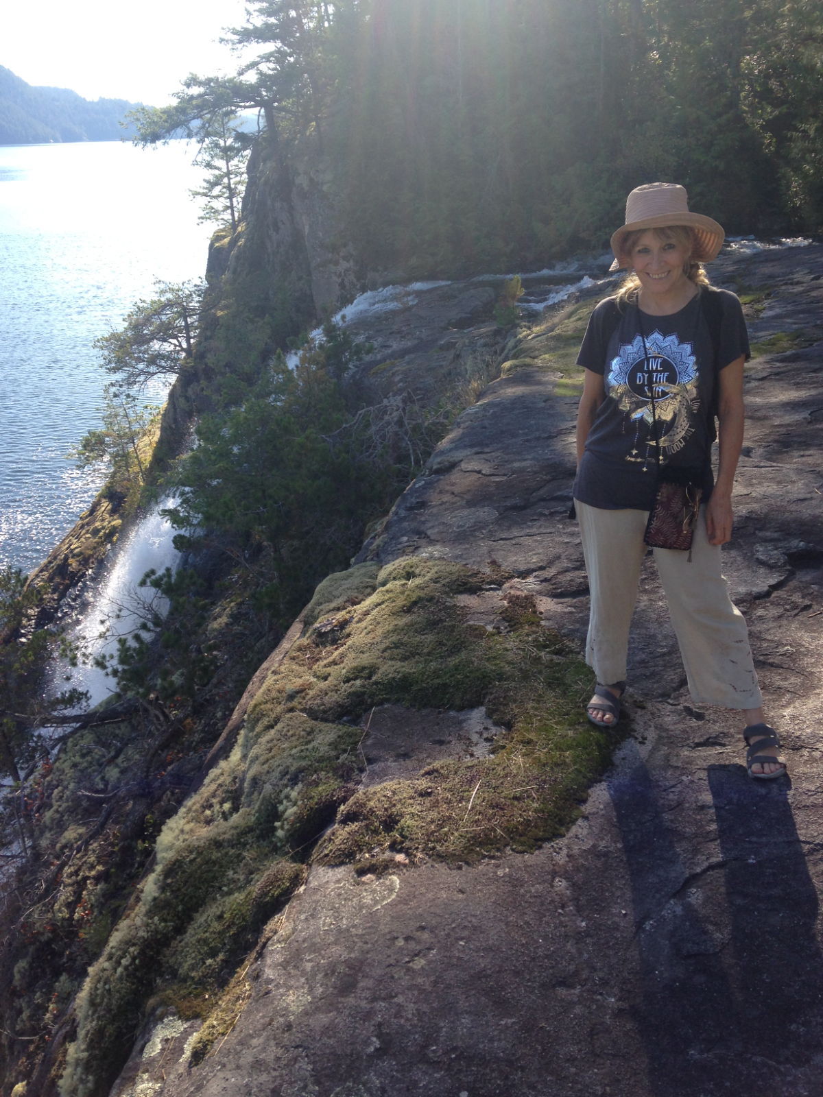
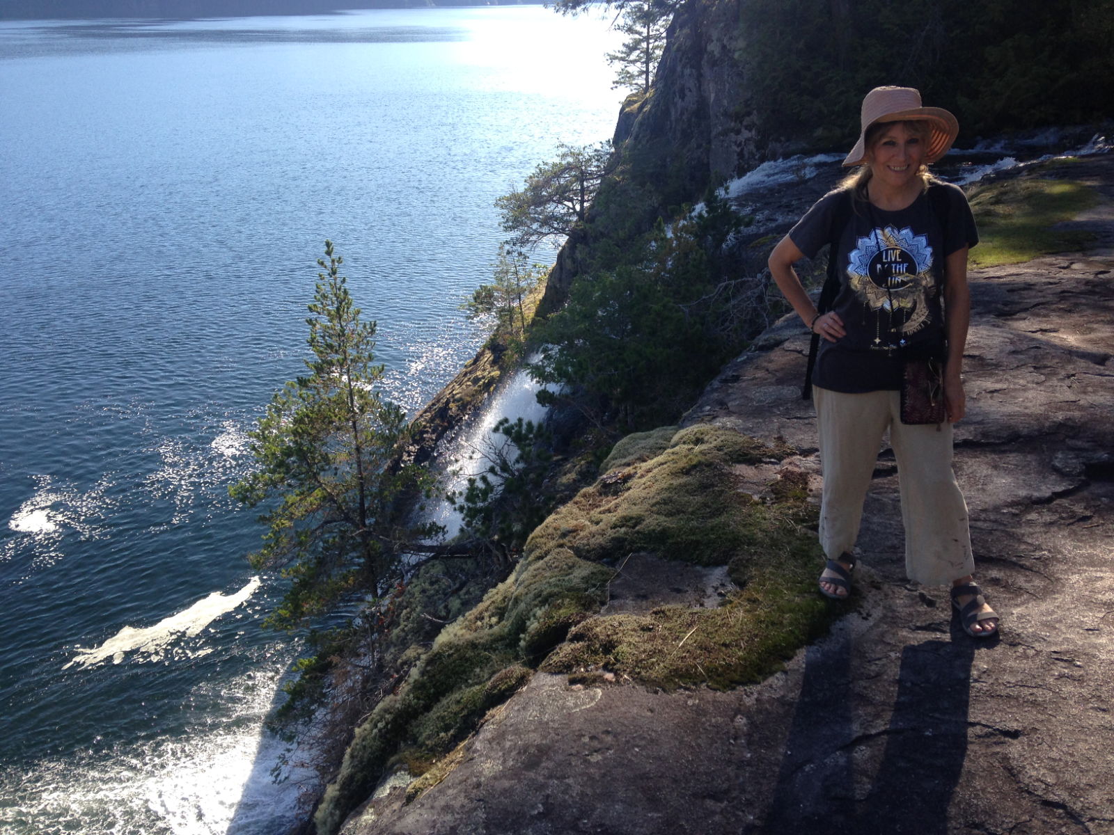
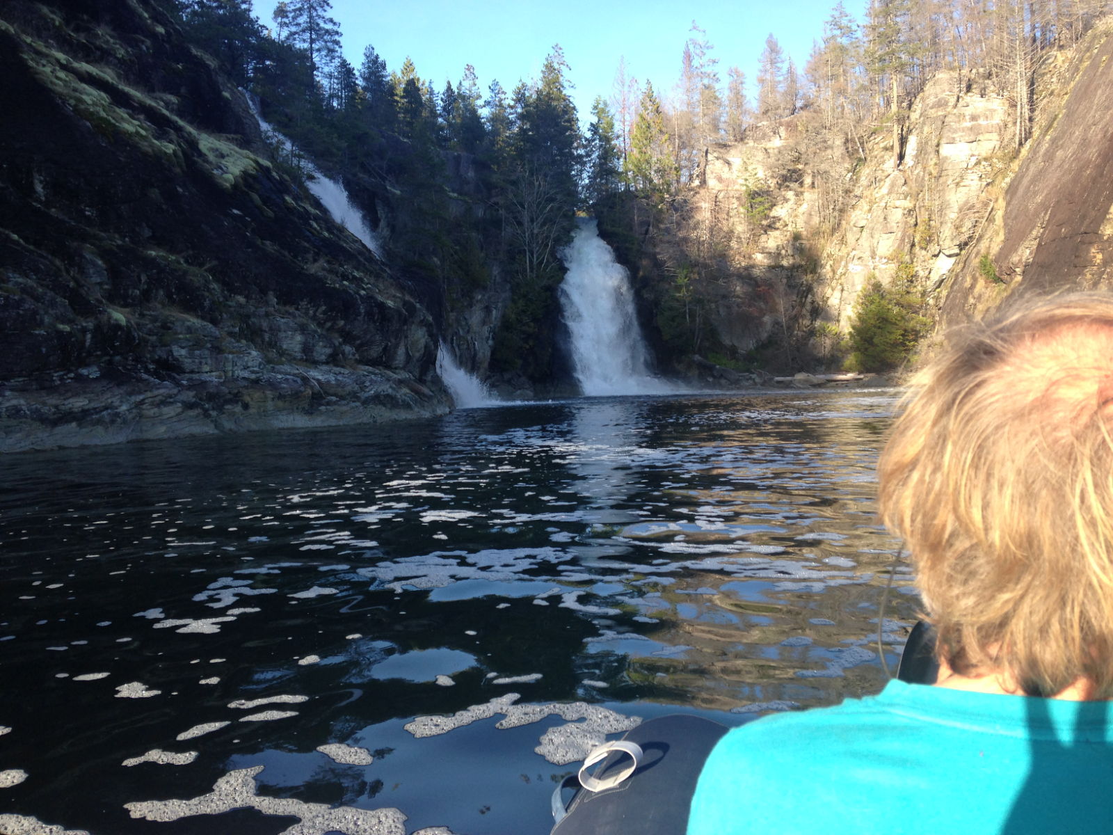
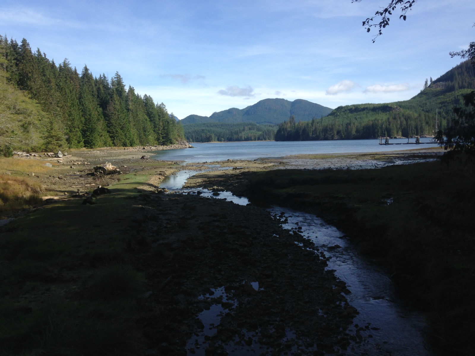
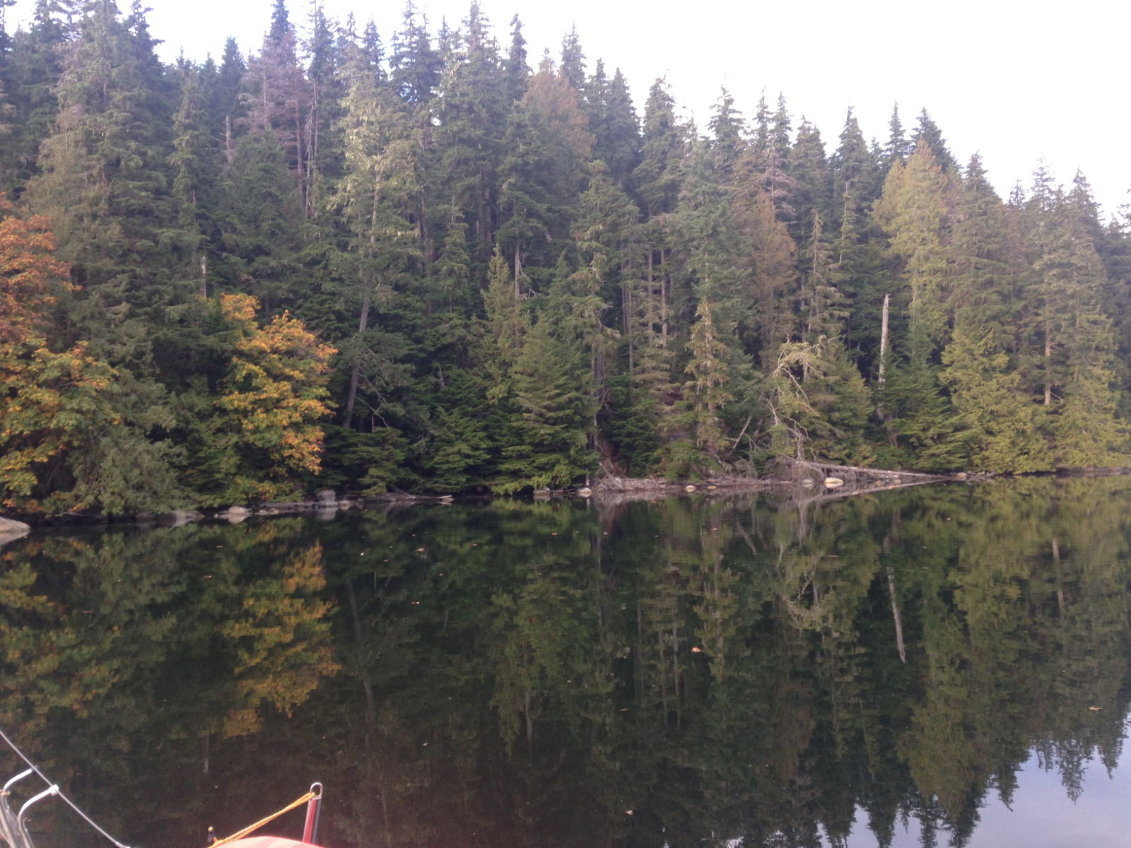
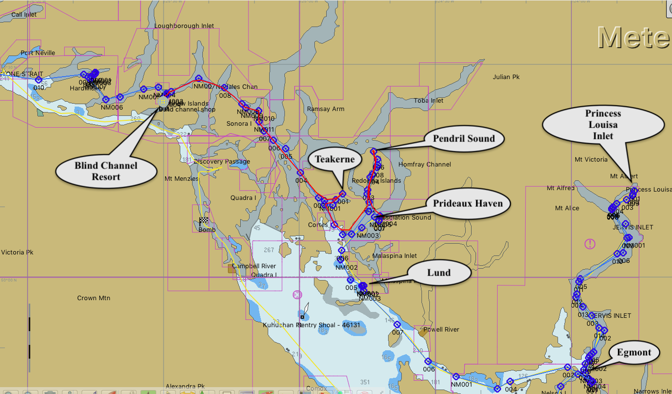
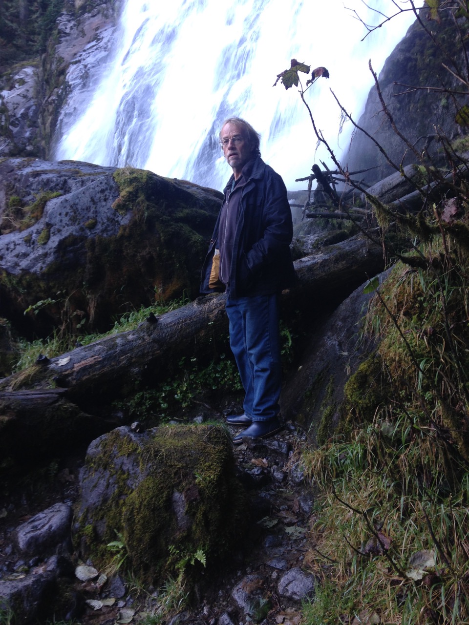
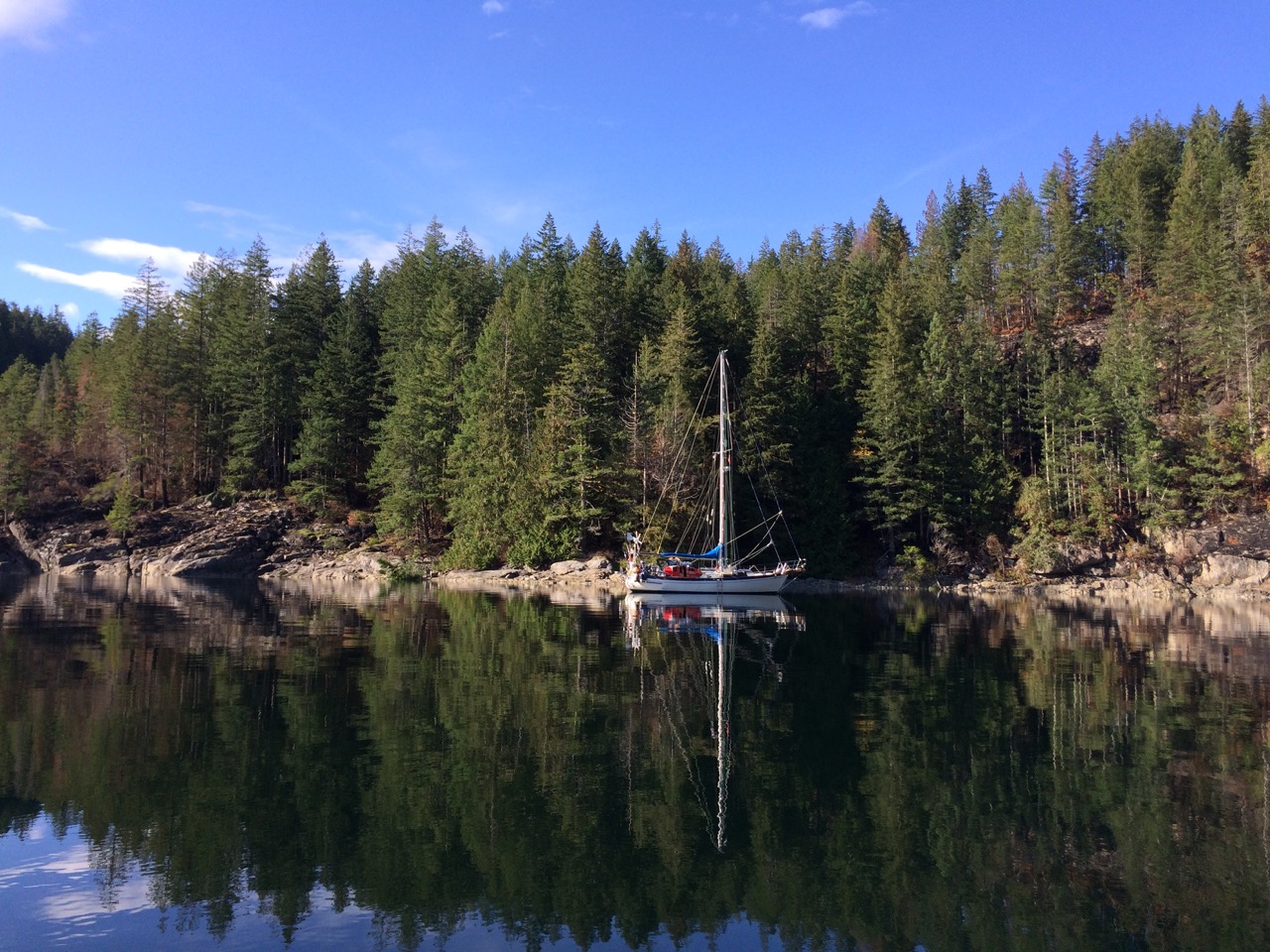 The next day we headed off to Teakerne Arm, Captain Vancouver spent two weeks anchored here recuperating from the horrendous time he was having in Desolation Sound, he gave it that name more because of his mental state at the time, we thought it was a fantastic place, but it was sunny for us, he was there in storms, and couldn’t find anywhere to anchor, eventually getting into Teakerne Arm. My main reason for for visiting this Arm was simply because if he spent so long here, it can’t have been that bad. As it turned out it was a great spot with wonderful waterfalls at the head.
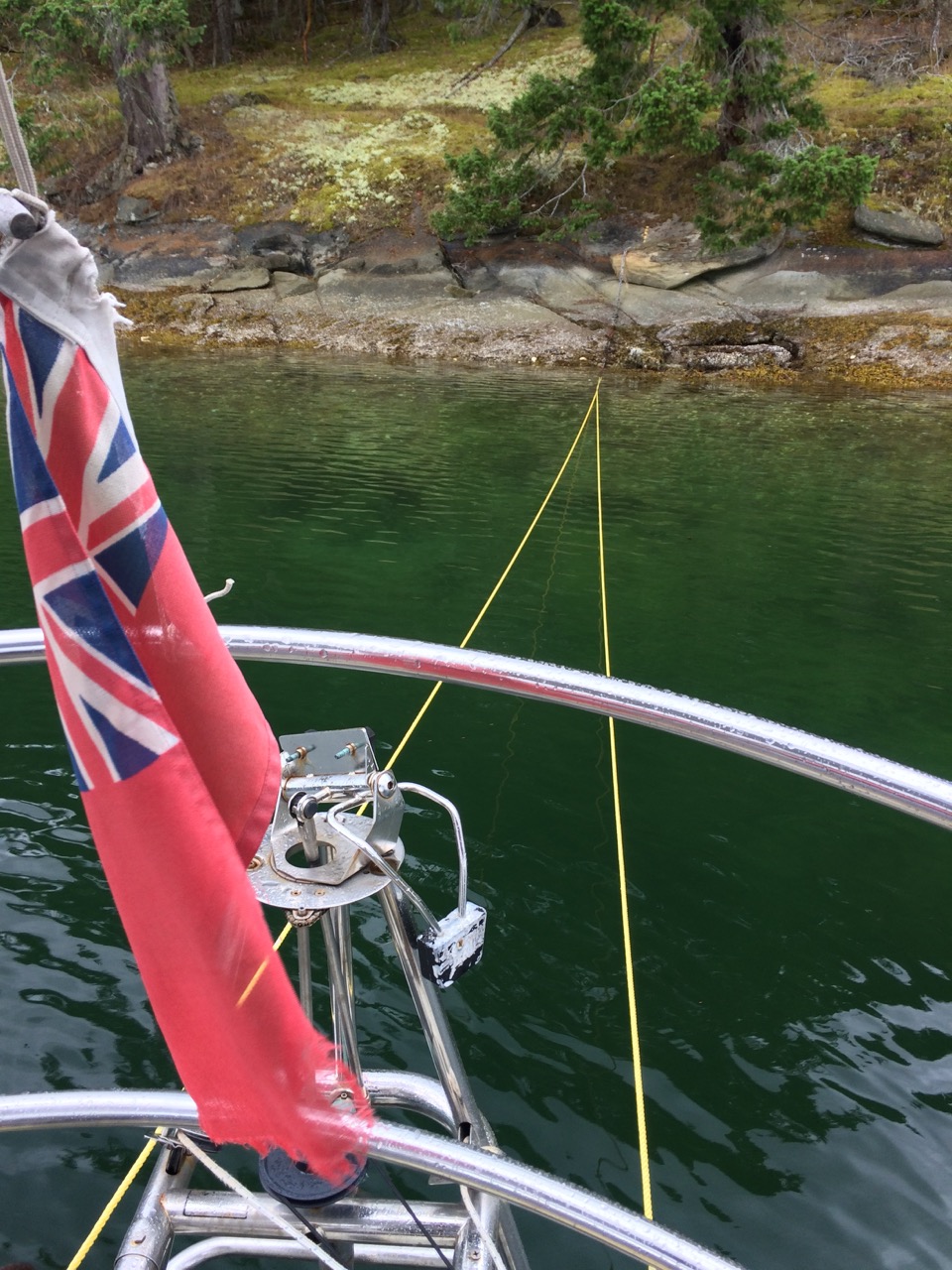
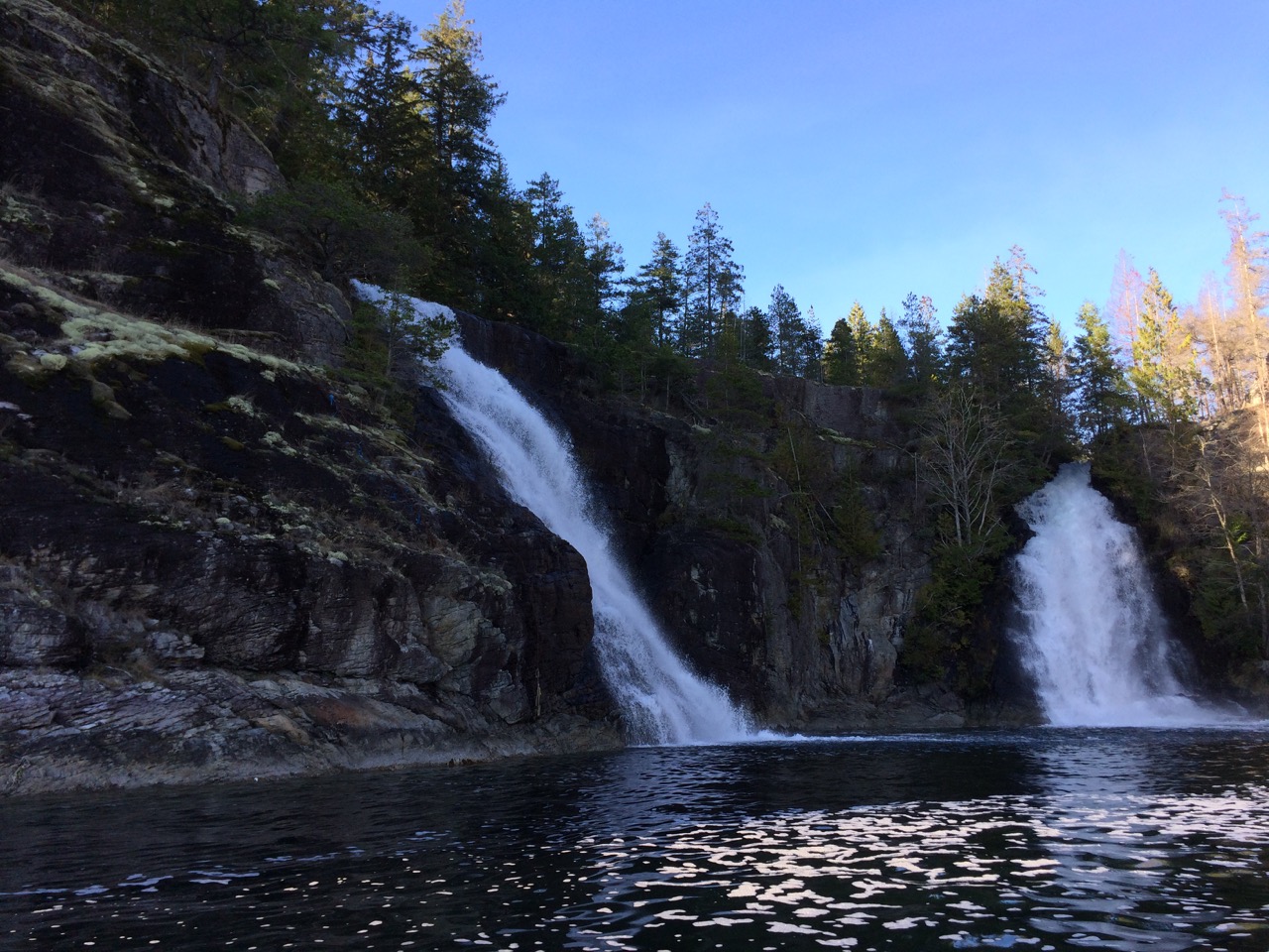 Anchoring was fun, three boat lengths from the shore it is 60m deep, two boat lengths off it’s 20m. so we dropped the hook in 30m and reversed until the anchor gripped the side of the near vertical wall below us. We ran a stern tie ashore, tightened up on the chain and the anchor seemed happy.
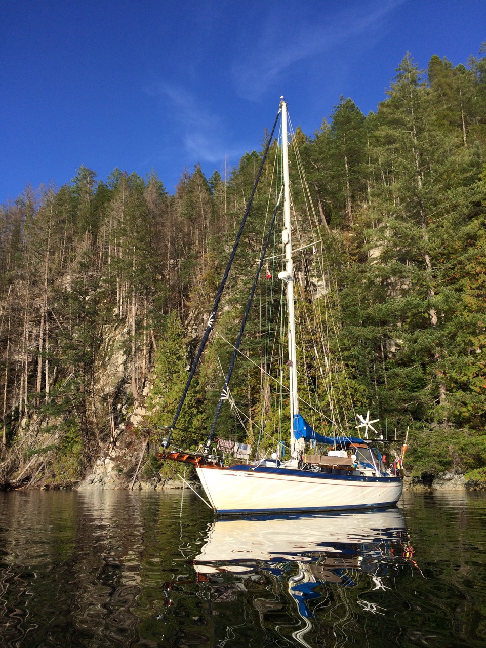
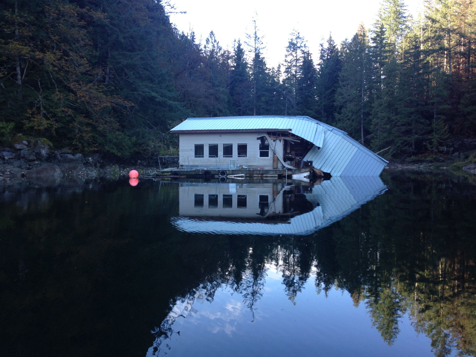
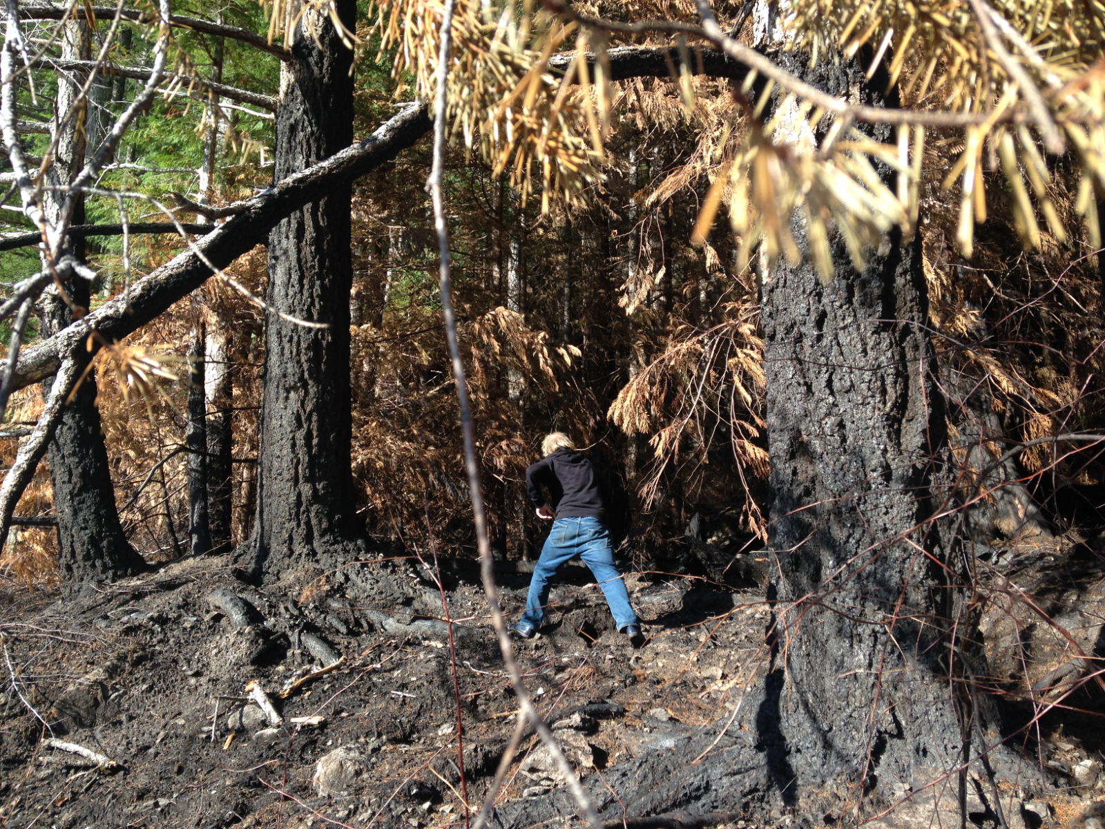
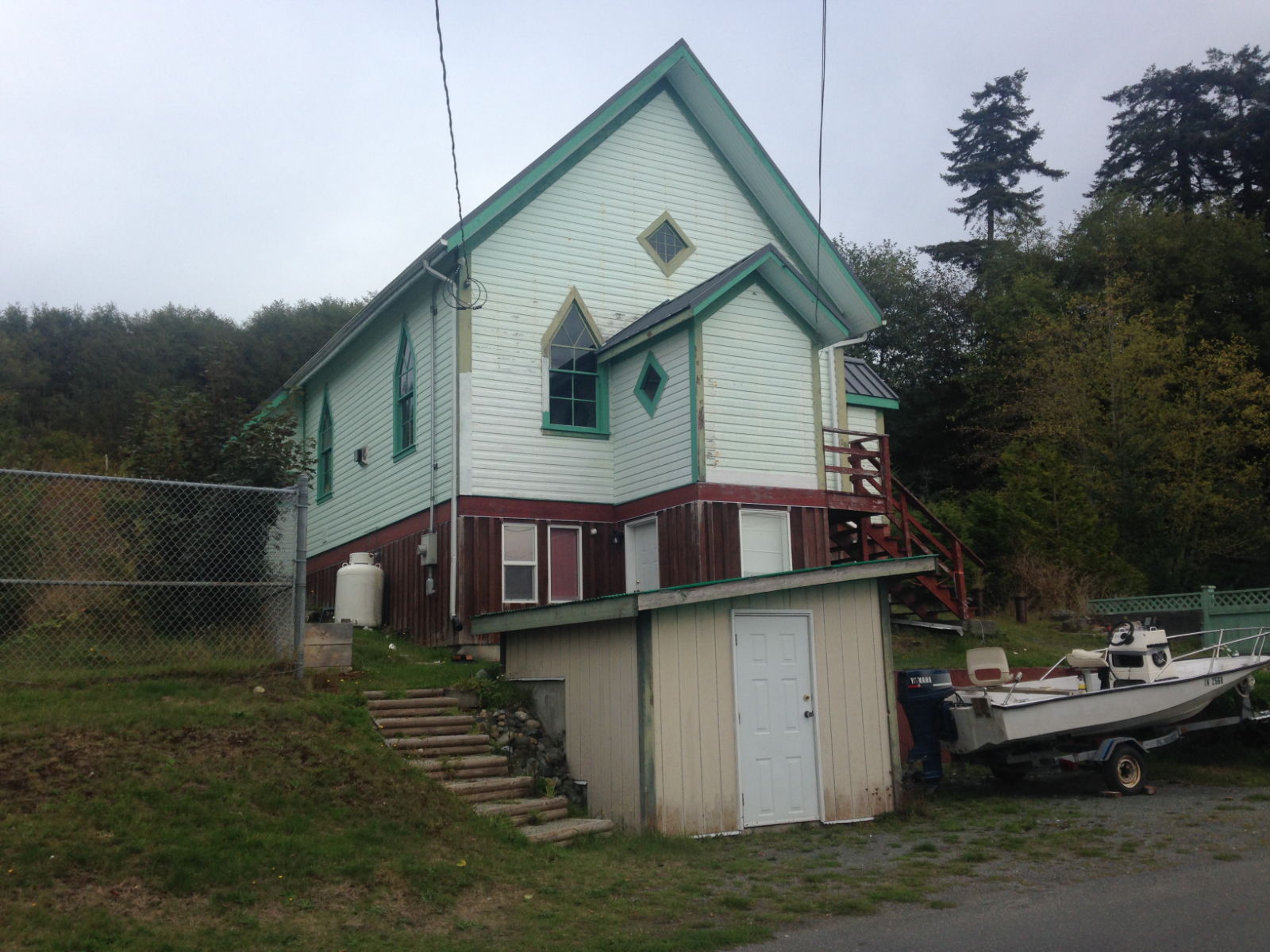
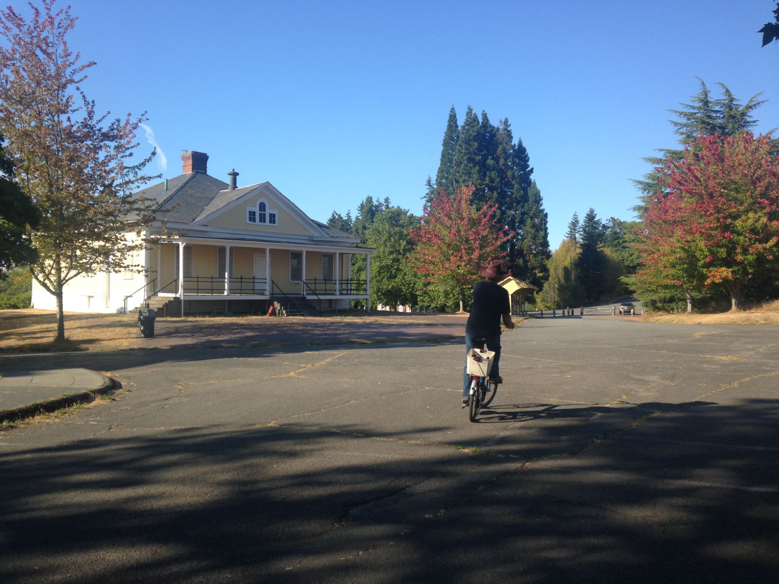
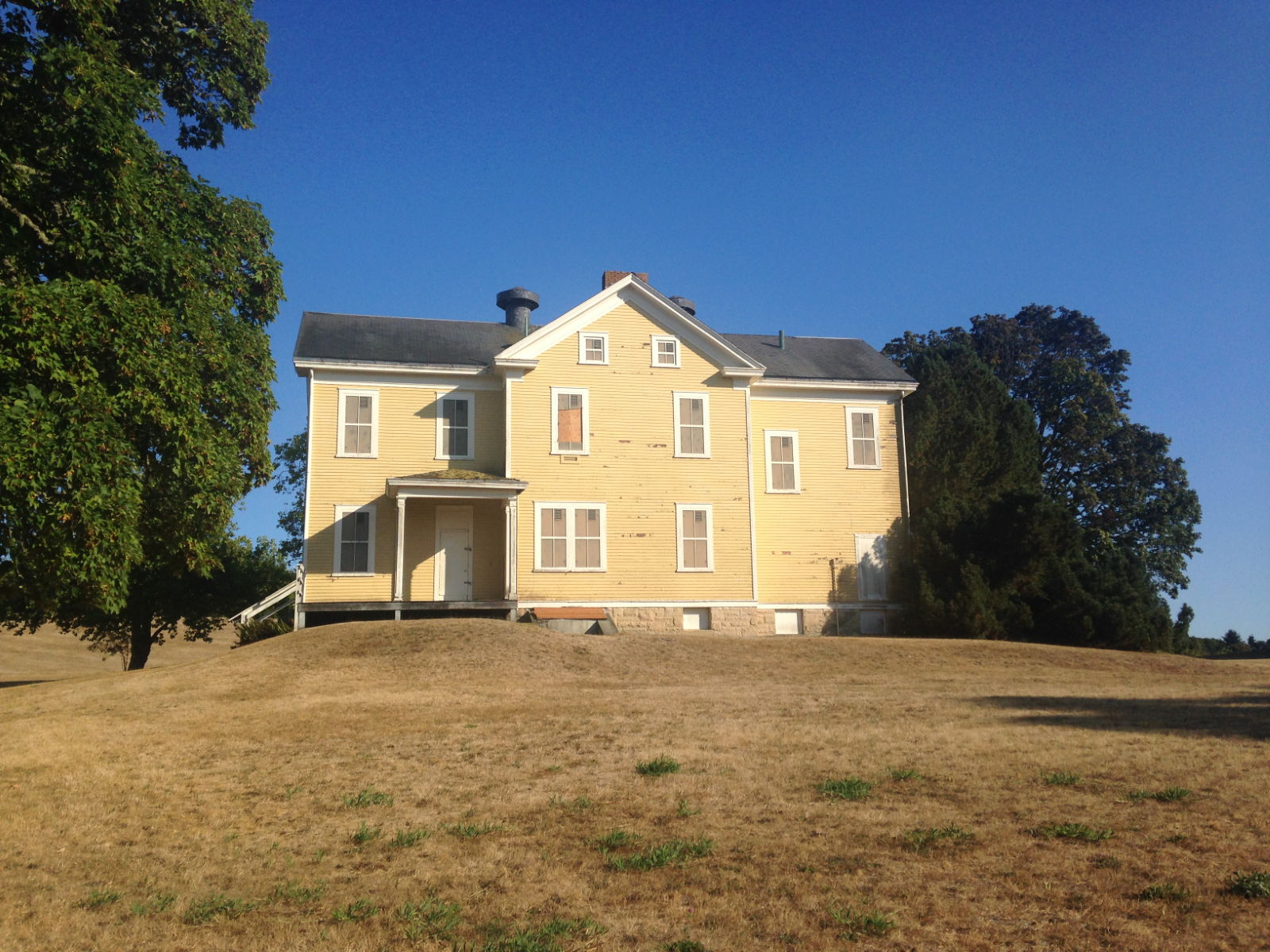
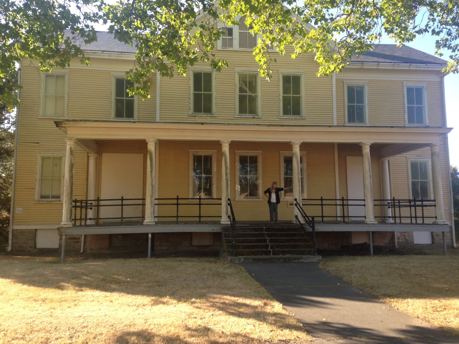
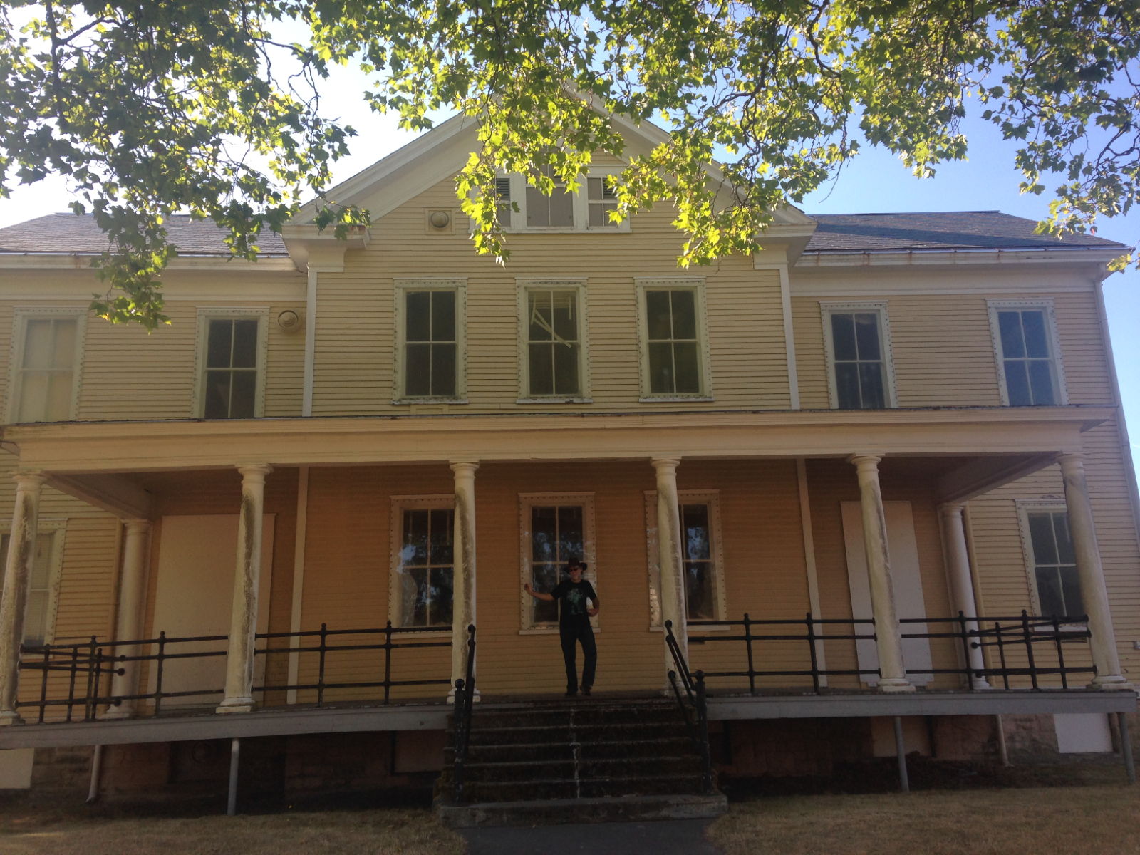
 In a small cove beside the waterfall we spotted a house that seemed to be in trouble.
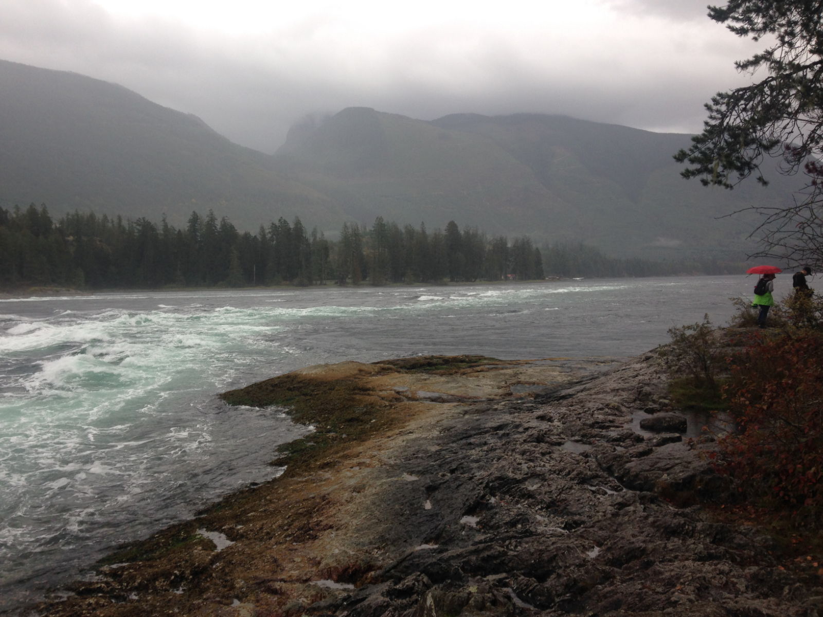
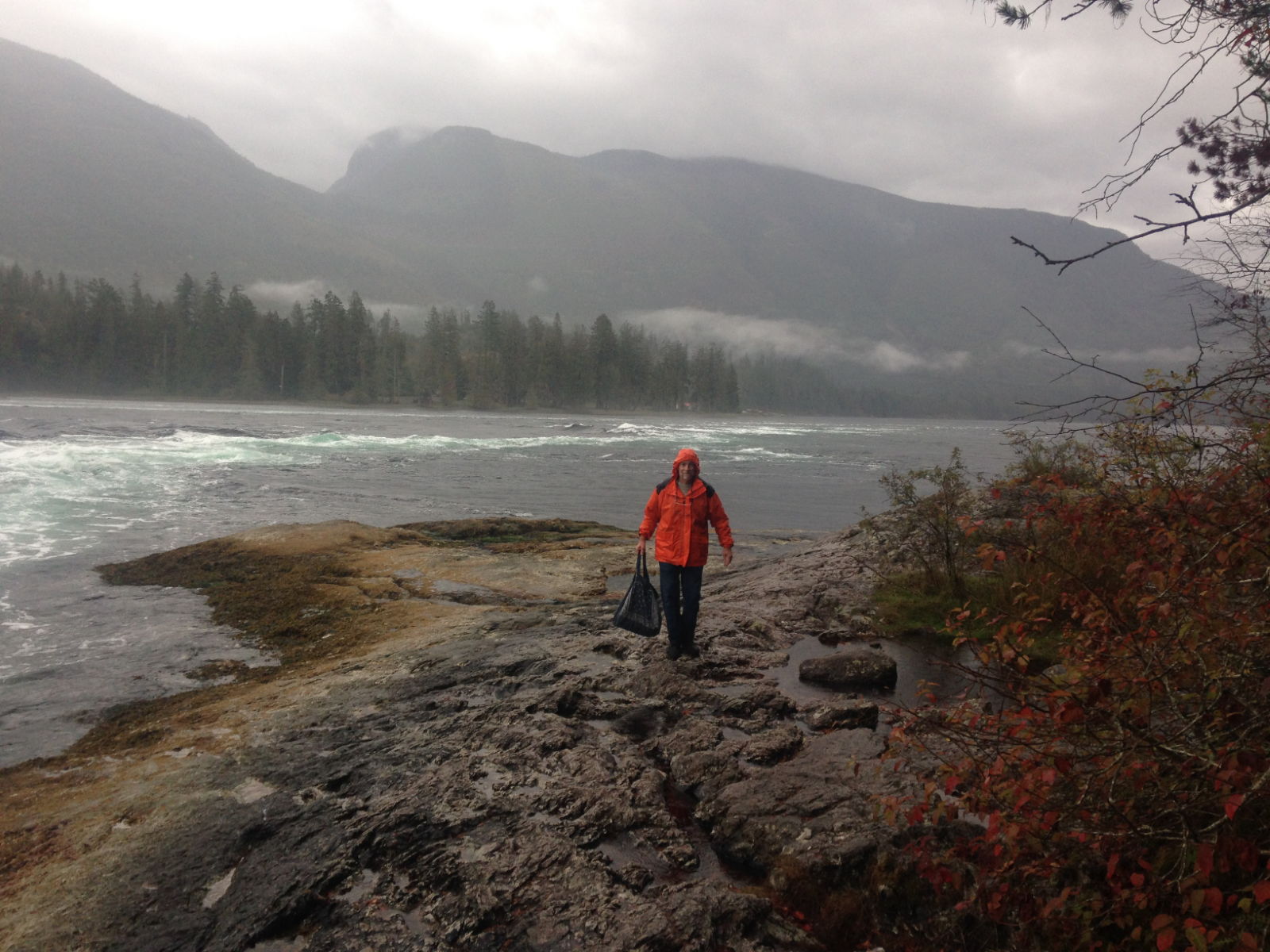
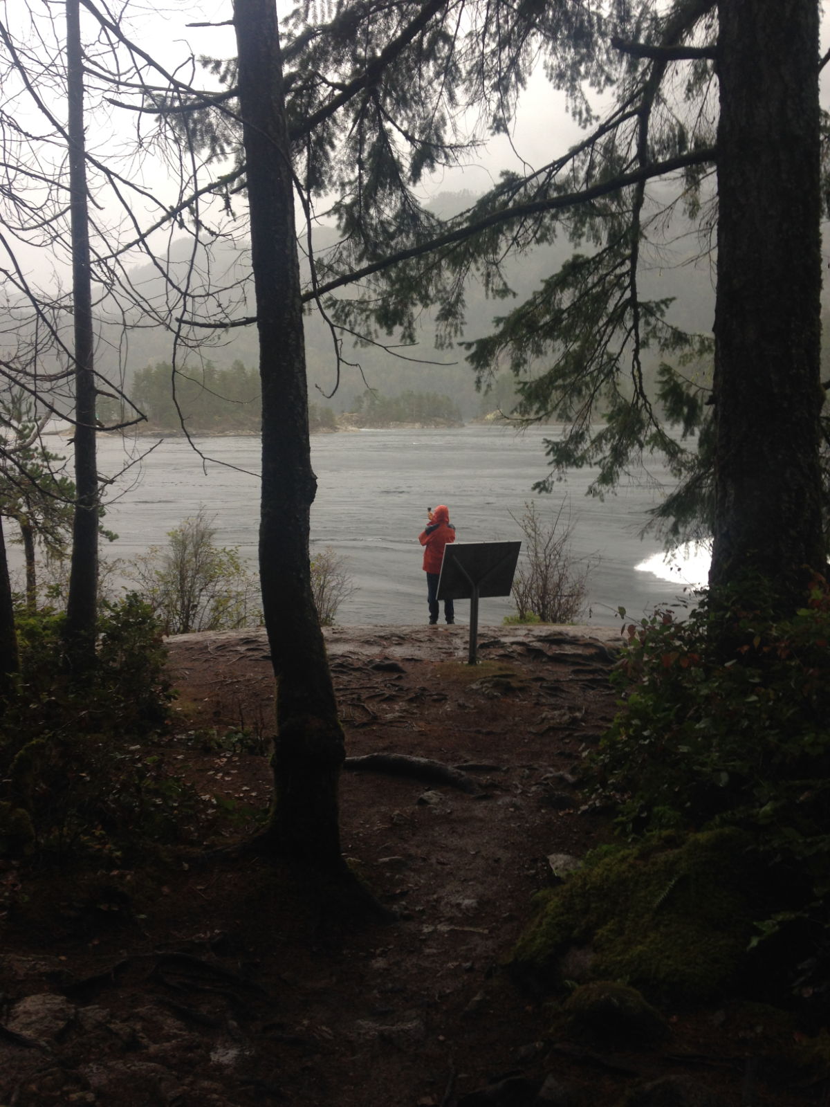
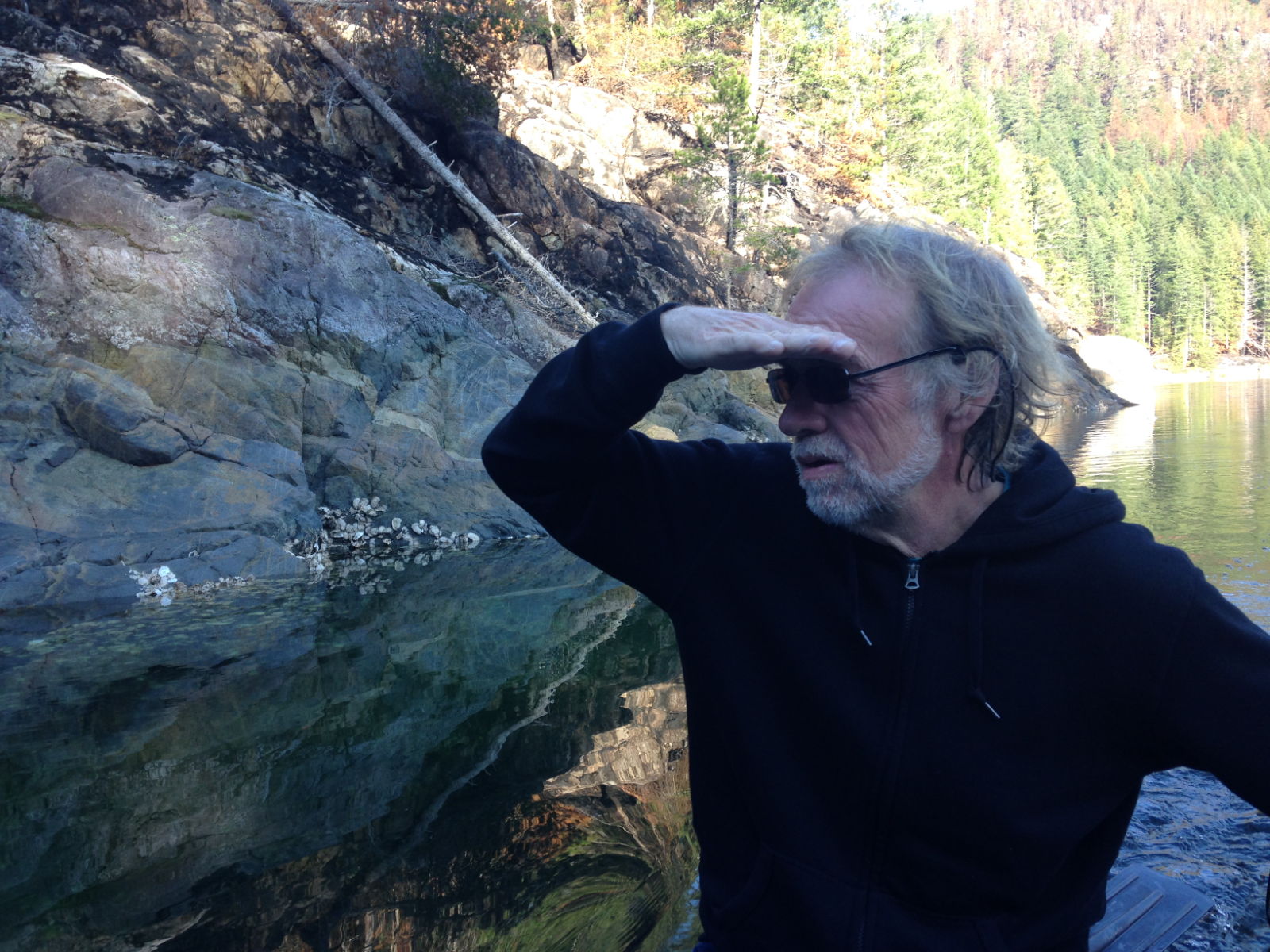
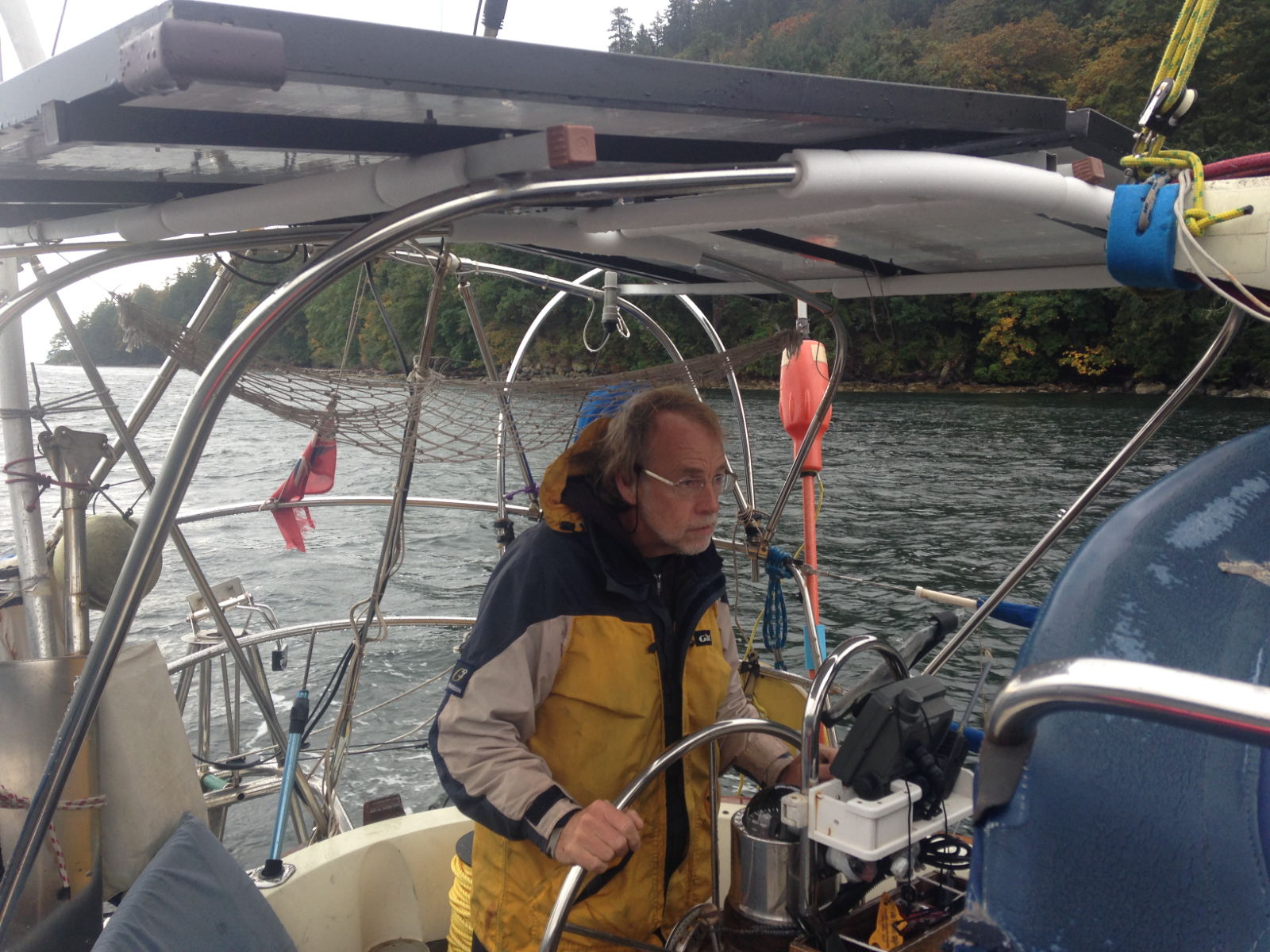
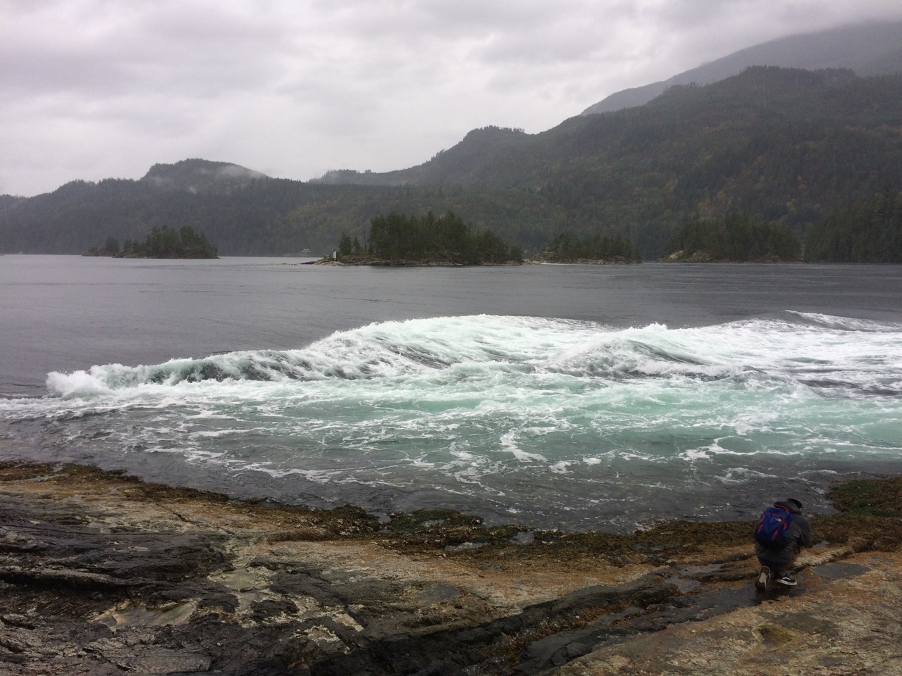
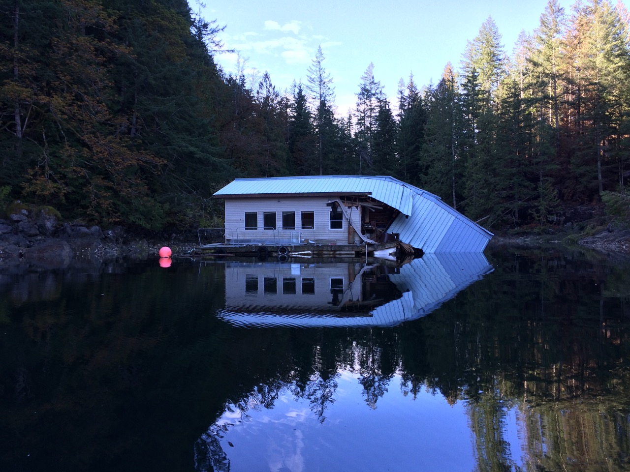 The following morning we pushed on to Blind Channel, this was slightly challenging as we had to pass through three sets of rapids, Yaculta, Gillard & Dent, each about 2 miles apart. We were going against a flood tide, so to make the first rapid at slack water meant we would be 30 minutes late for the last rapid. So we aimed to get to the first on the end of the ebb, and race through arriving at the middle rapids just before slack and the final and most dangerous rapids at Dent at slack water. I spent an hour working out tides and passage planning, we ended up having to leave at 07:30 and we arrived just 15 minutes early at 11:38, we dawdled for 10 minutes then went for it. Everything went well right up until the last set of rapids, Dent, featuring the scarily named ‘Devils Hole whirlpool’, which the pilot says “Those who have looked into the Devils hole won’t ever want to revisit it”. Just as we approached I saw a tug emerging but couldn’t yet see its tow. The tugs rarely are pointing, or even travelling in the same direction as their tow, and require a very wide berth. I had to steer to starboard a lot to miss him and that put our course directly over ‘Devils Hole’, looking through the binoculars I couldn’t see any holes in the water so we pushed on, I was soon able to scoot around the back of the tow and hugged the coast, just missing the hole, which just looked like flat water to me.
 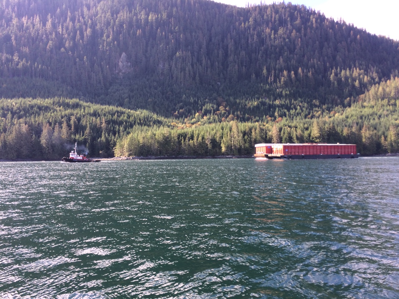 Yet again, my timing worked out well, except for the fact we had another 2 hours of sailing to go, and when I looked on the chart 2 hours later, I saw Greene Point rapids coming up in a few minutes. I hadn’t even realised they were there. Kathy took the helm, slowed us down, while I scanned the pilot books and found out they can be quite dangerous on spring tides, and we were bang on the highest tides and arriving at maximum flood, the worst time. I couldn’t quite understand what all the fuss was about as we approached and decided we should give it a whirl anyway, we turned into the turbulent waters and headed for the resort we could see in the distance. Everything worked out well, besides one bit of a shove and a splash of waves on the boat we were through. It was only later that I worked out the chart was wrong and the rapids were over to our starboard side as we turned to port, missing the worst of it.
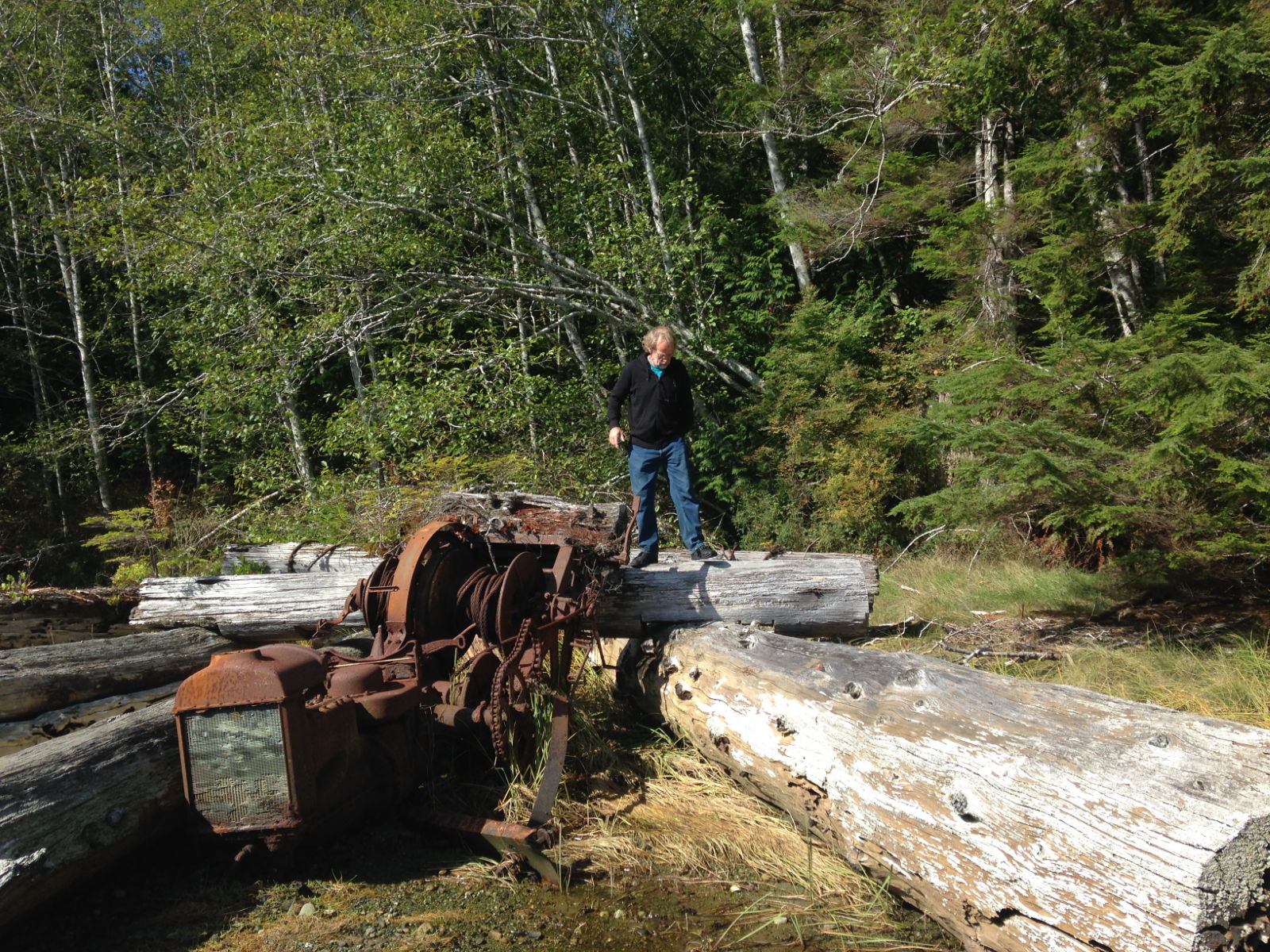
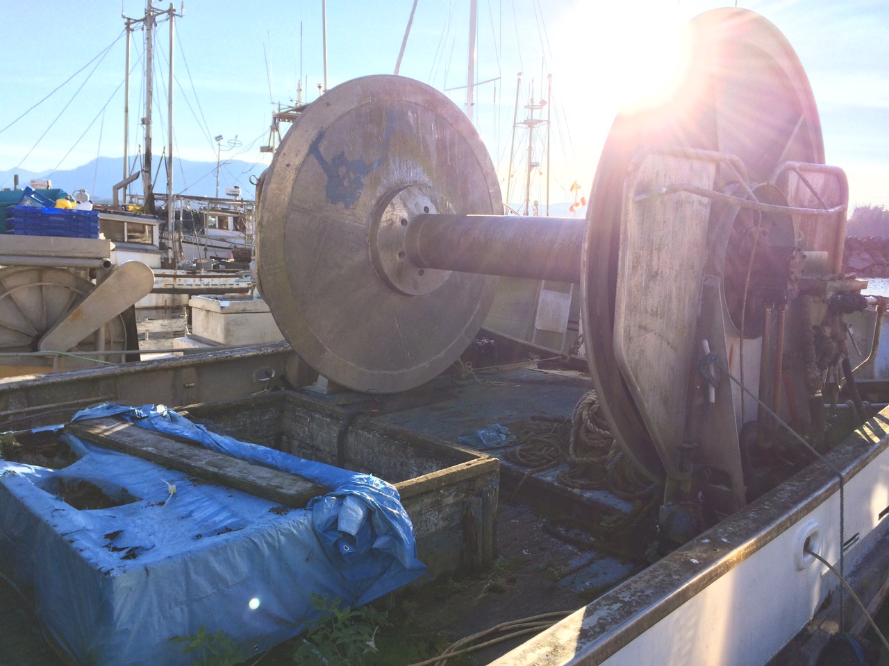
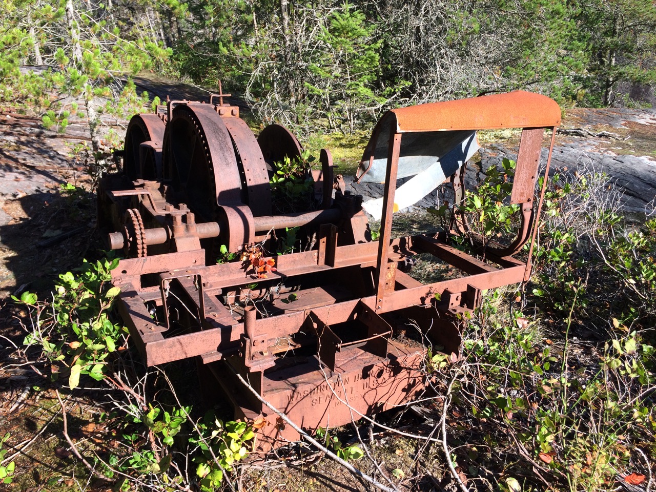
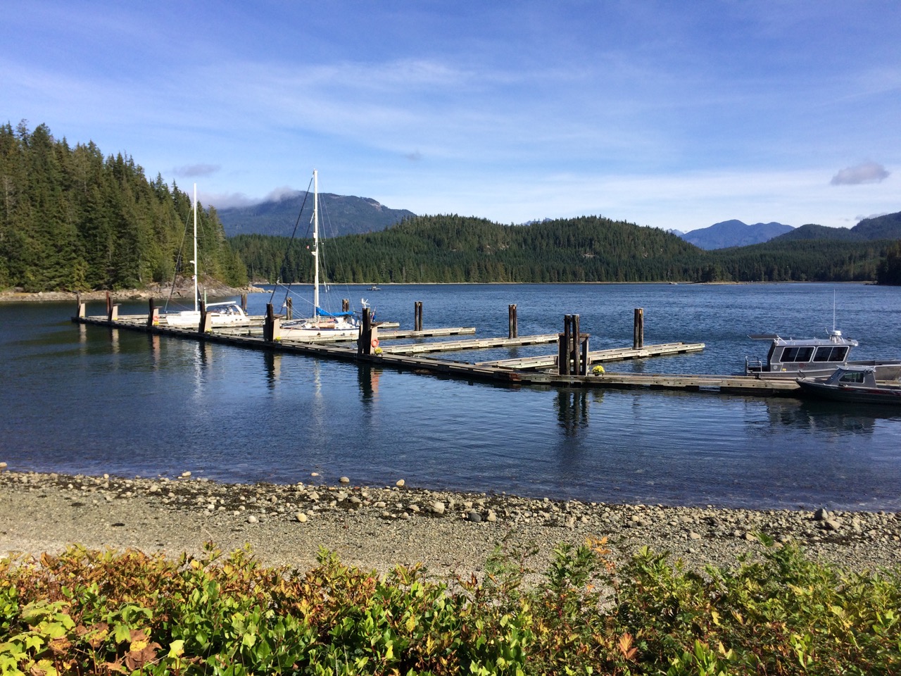 A walk along the beach revealed this old winch, again used for logging.
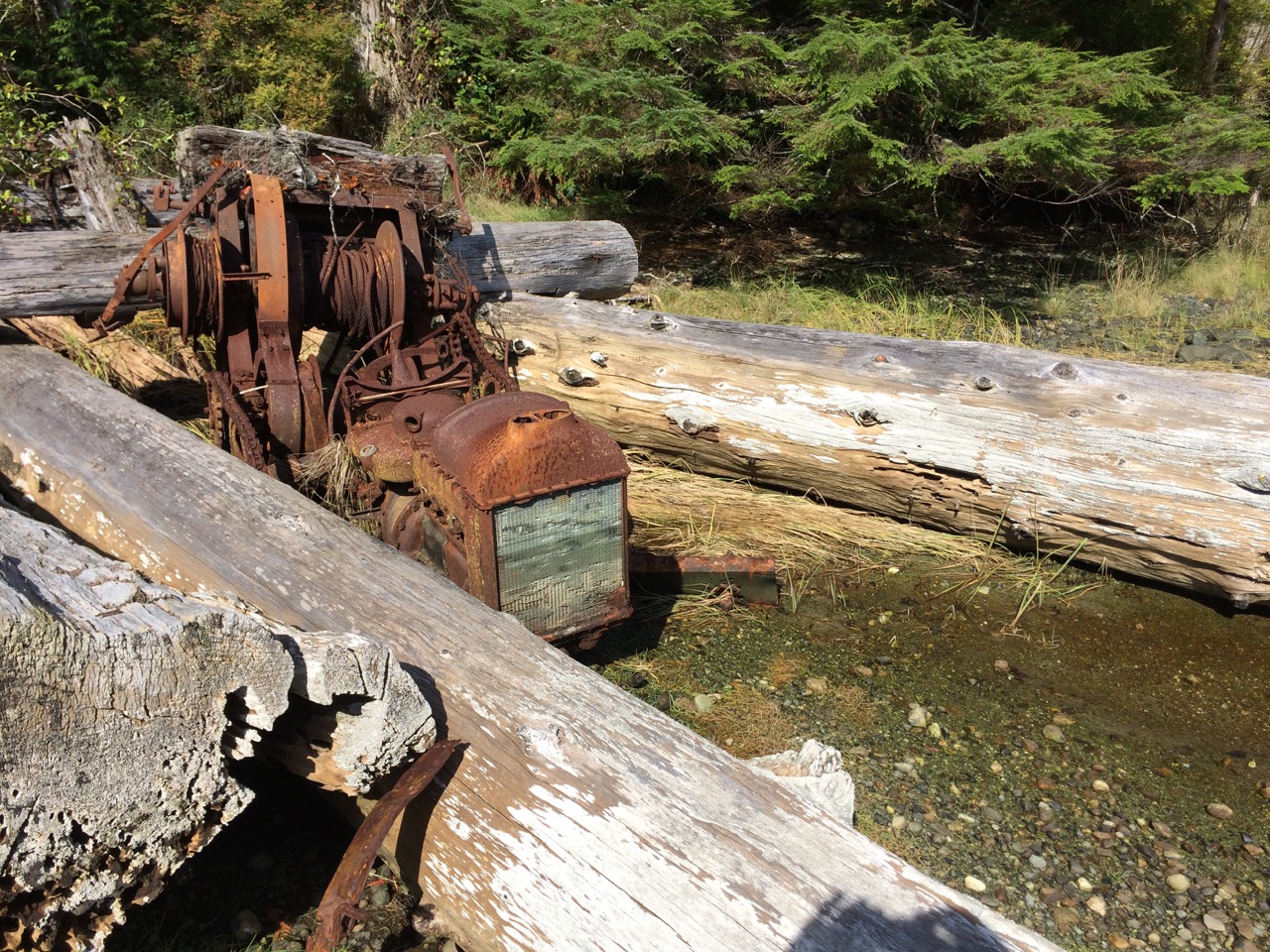
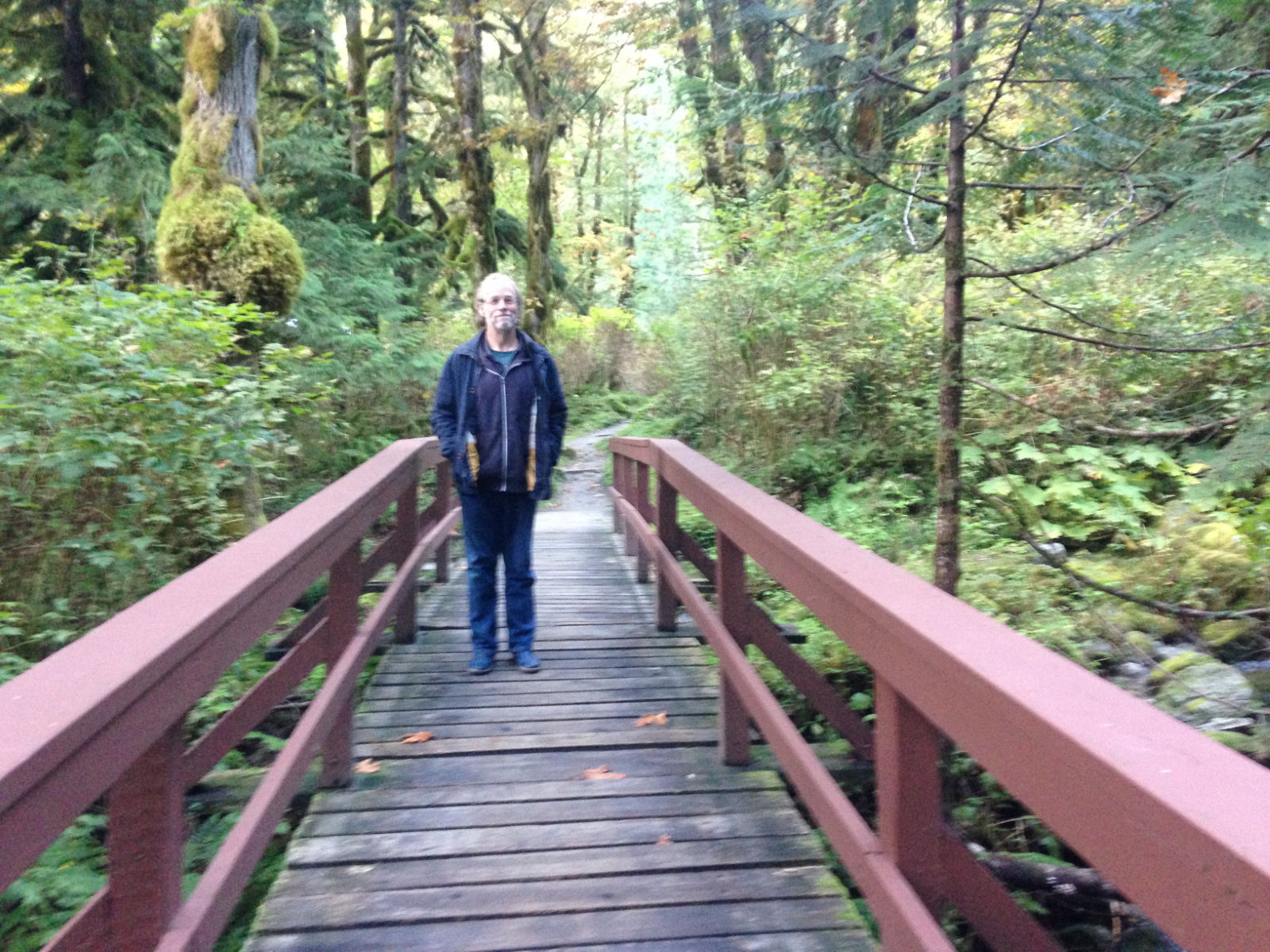
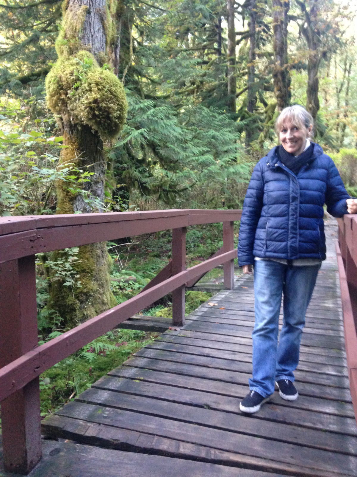
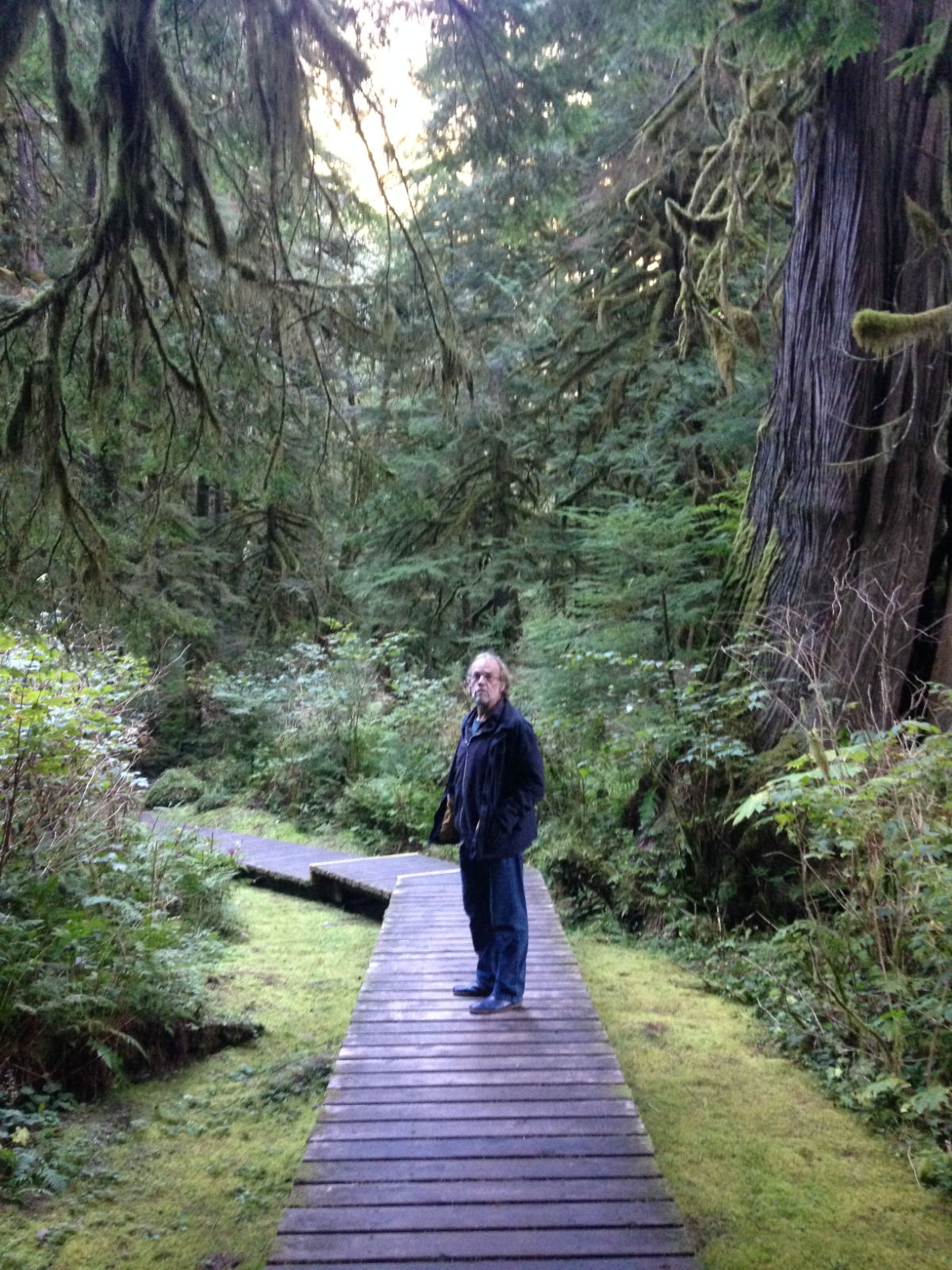
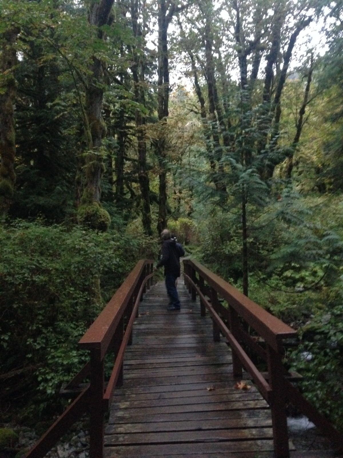
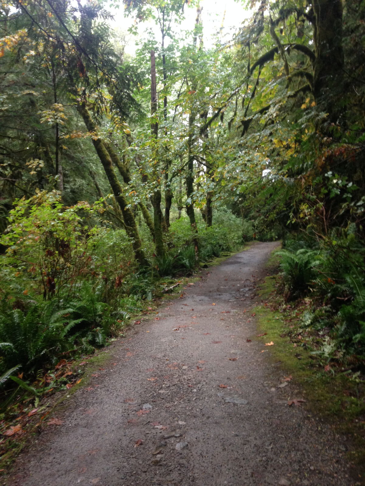
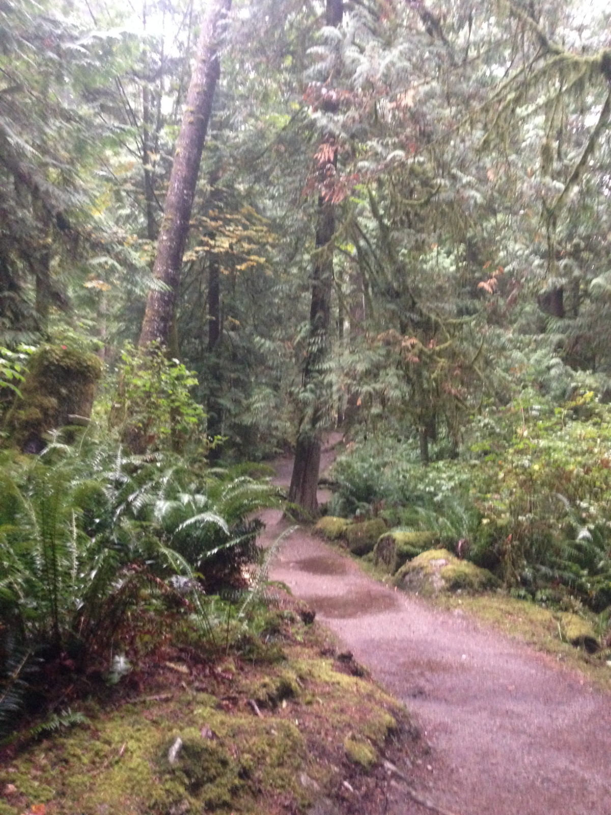
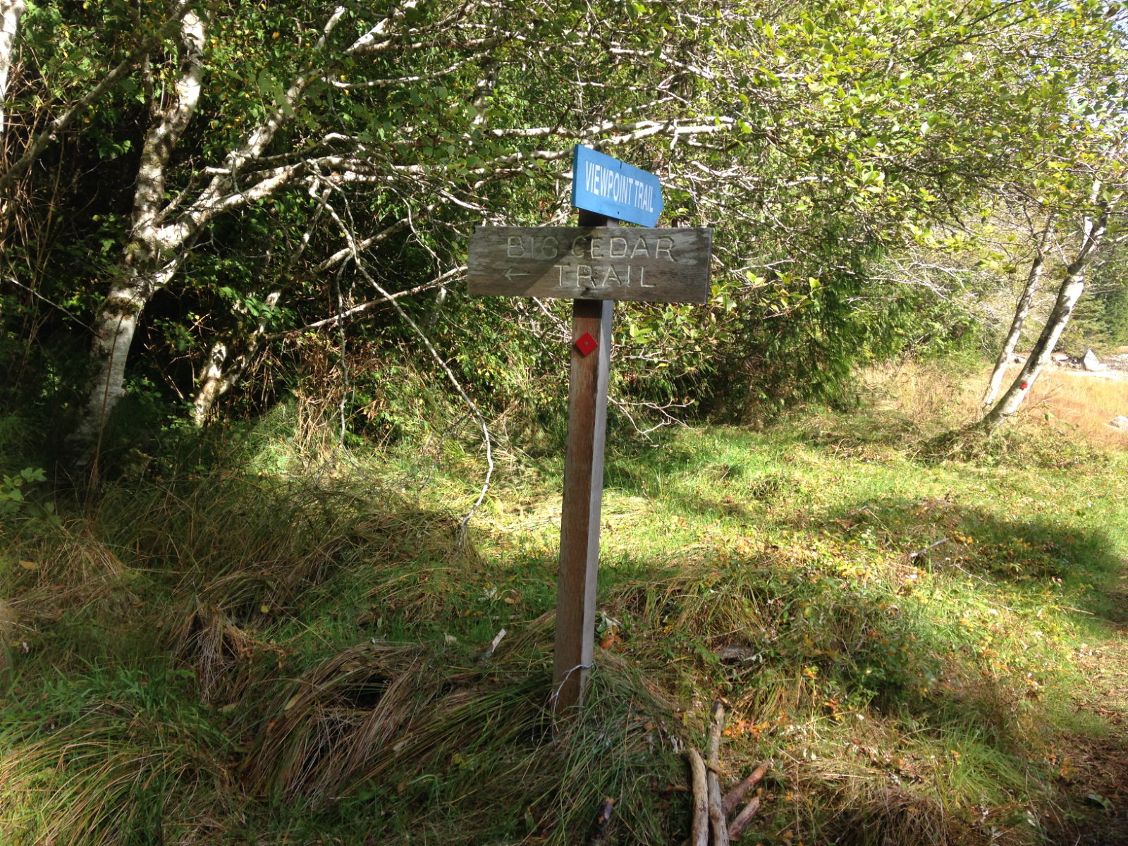
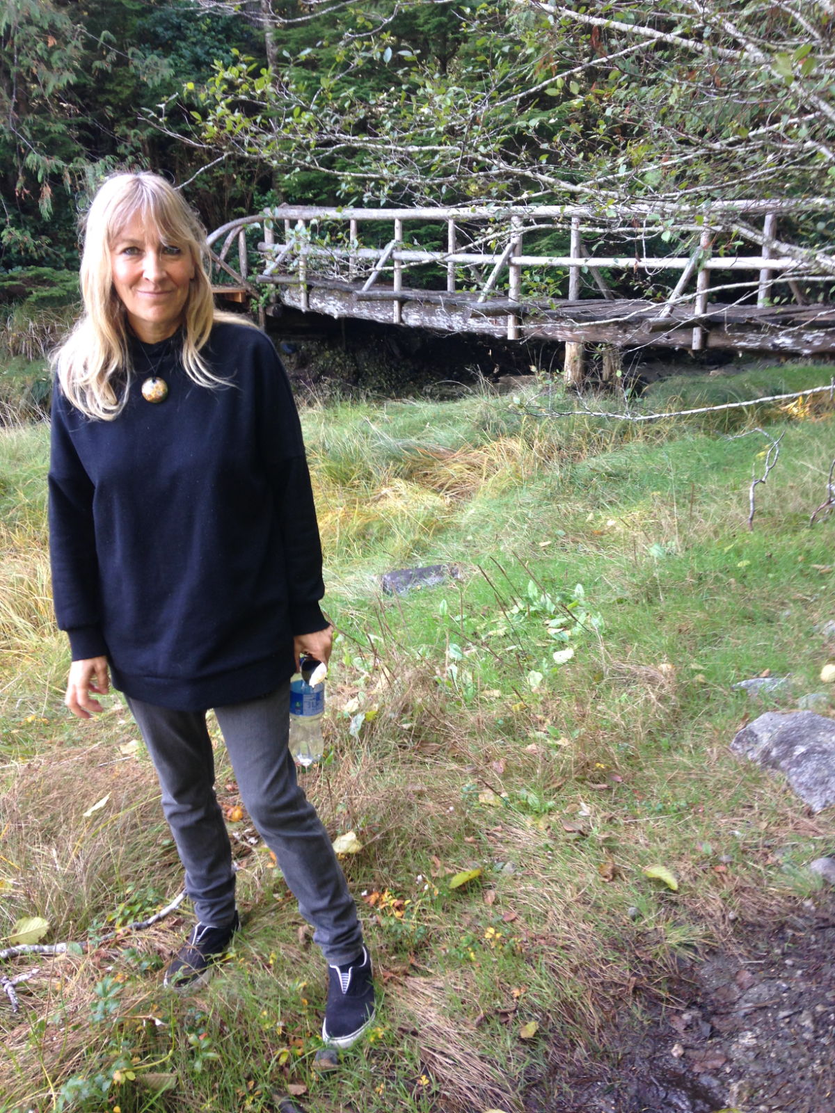
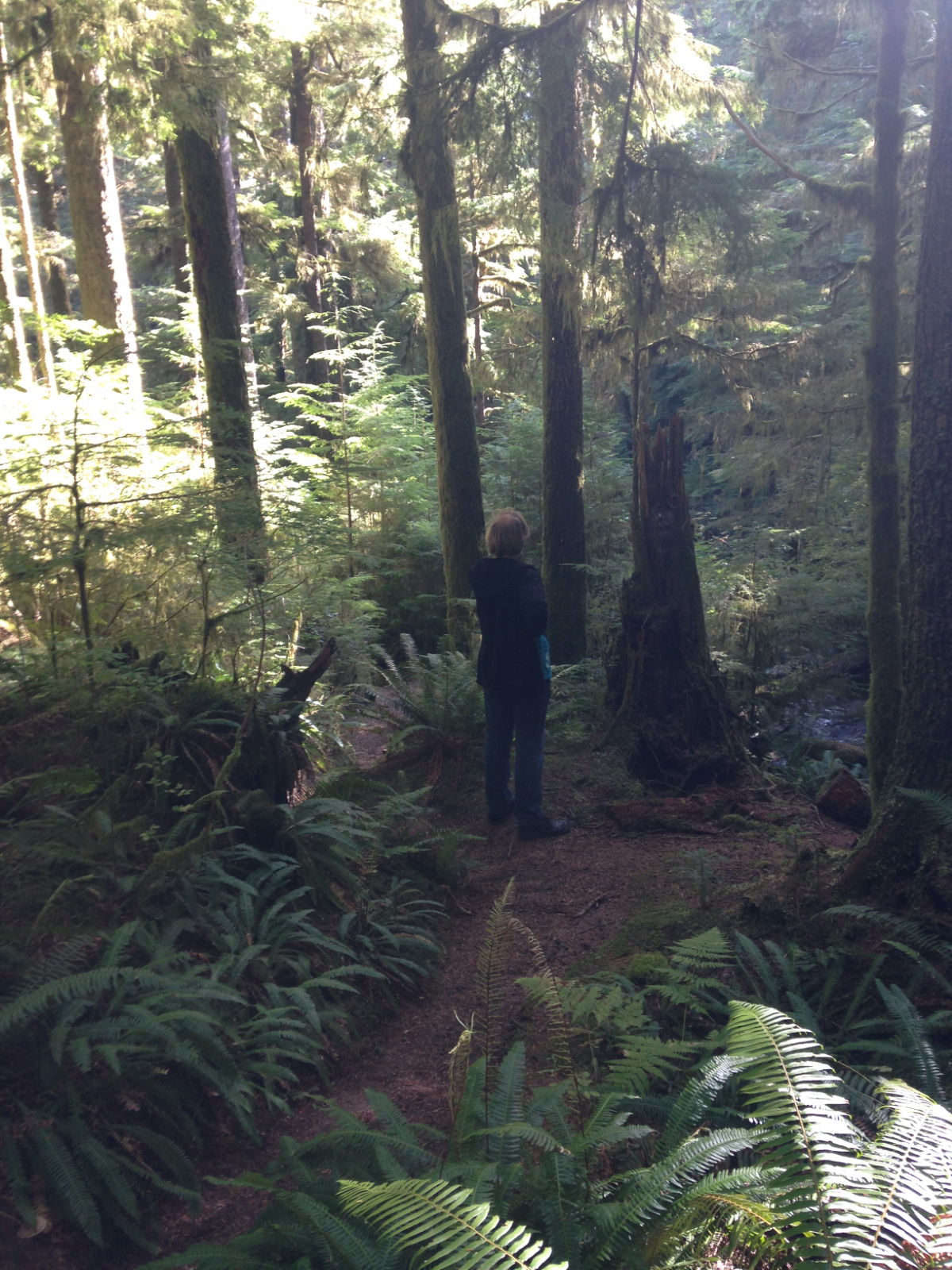
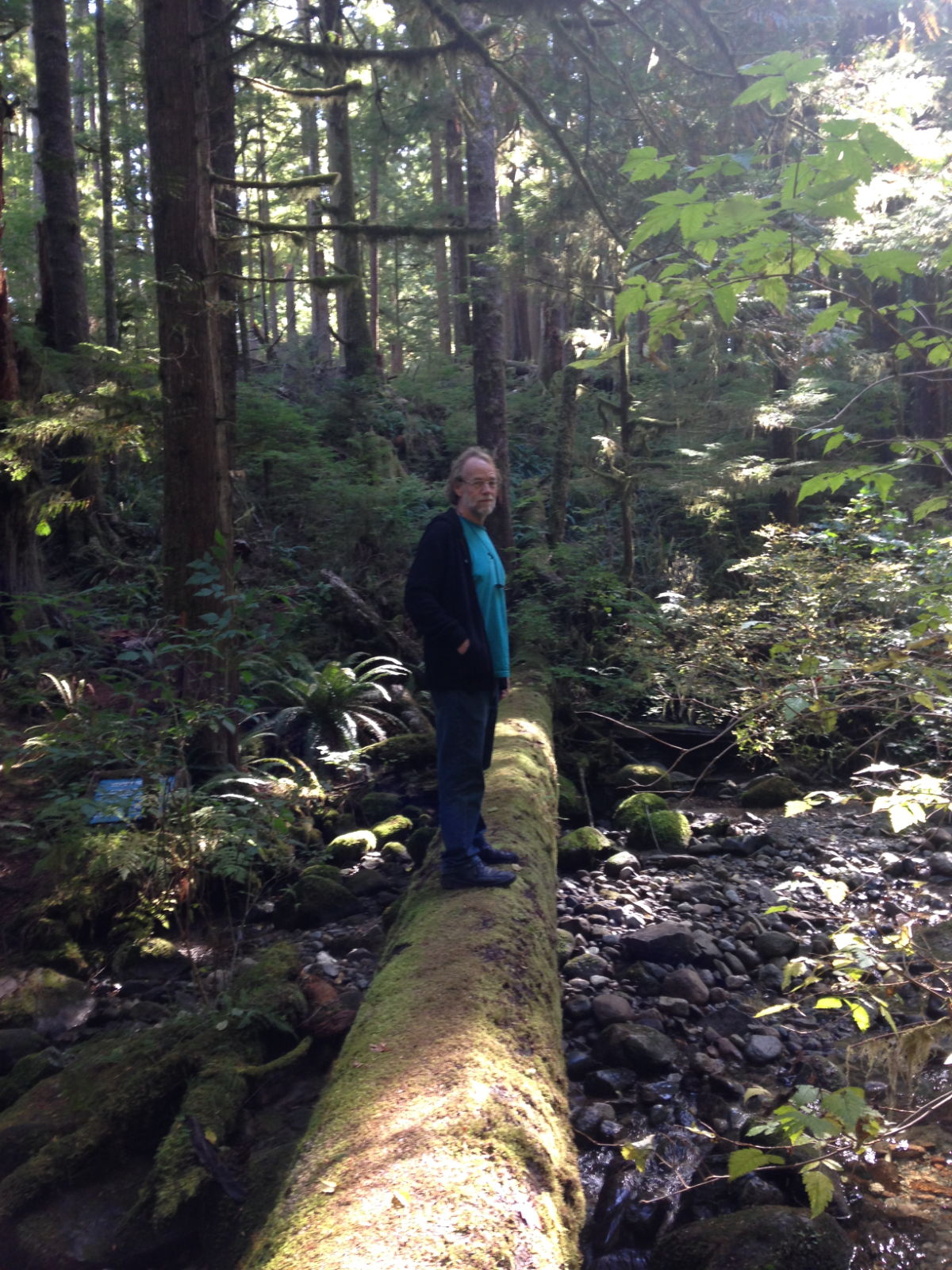
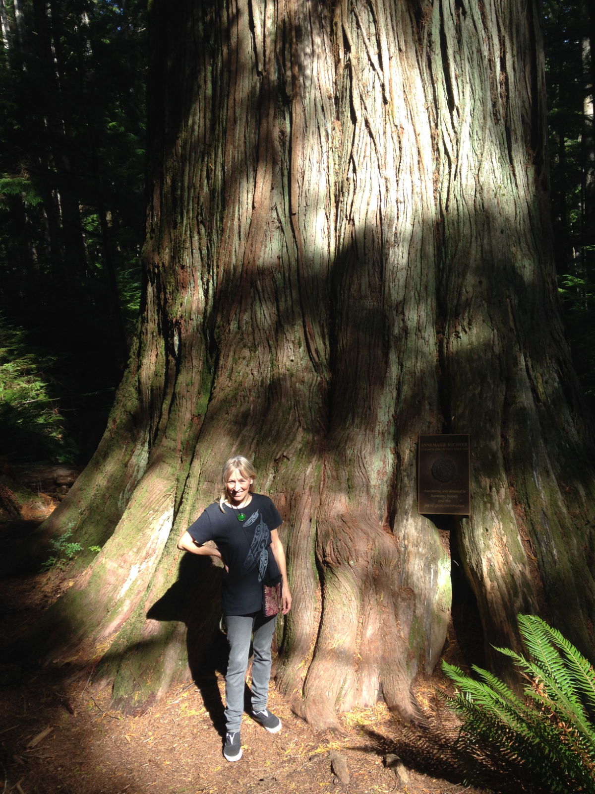
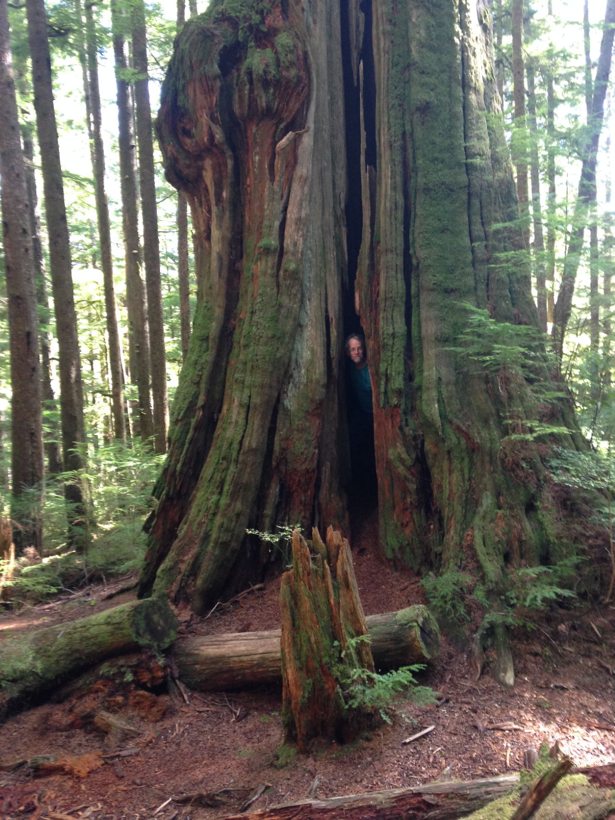
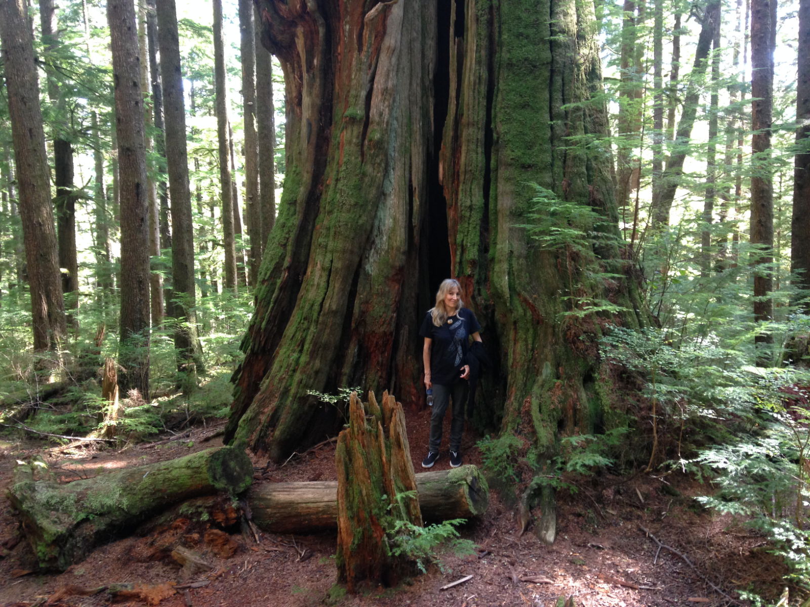
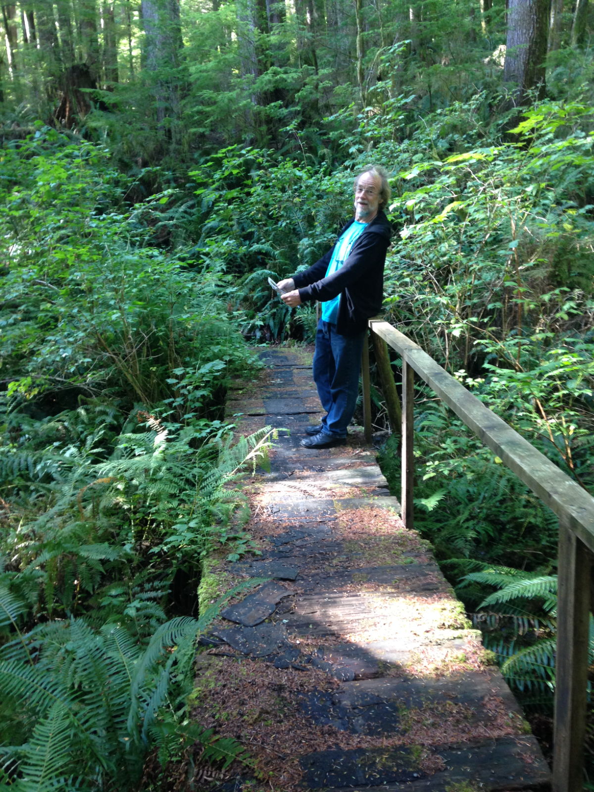
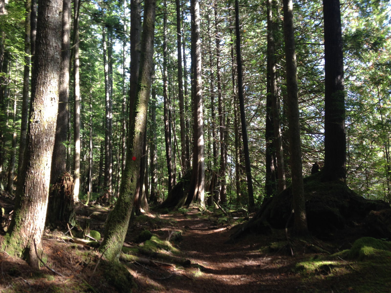
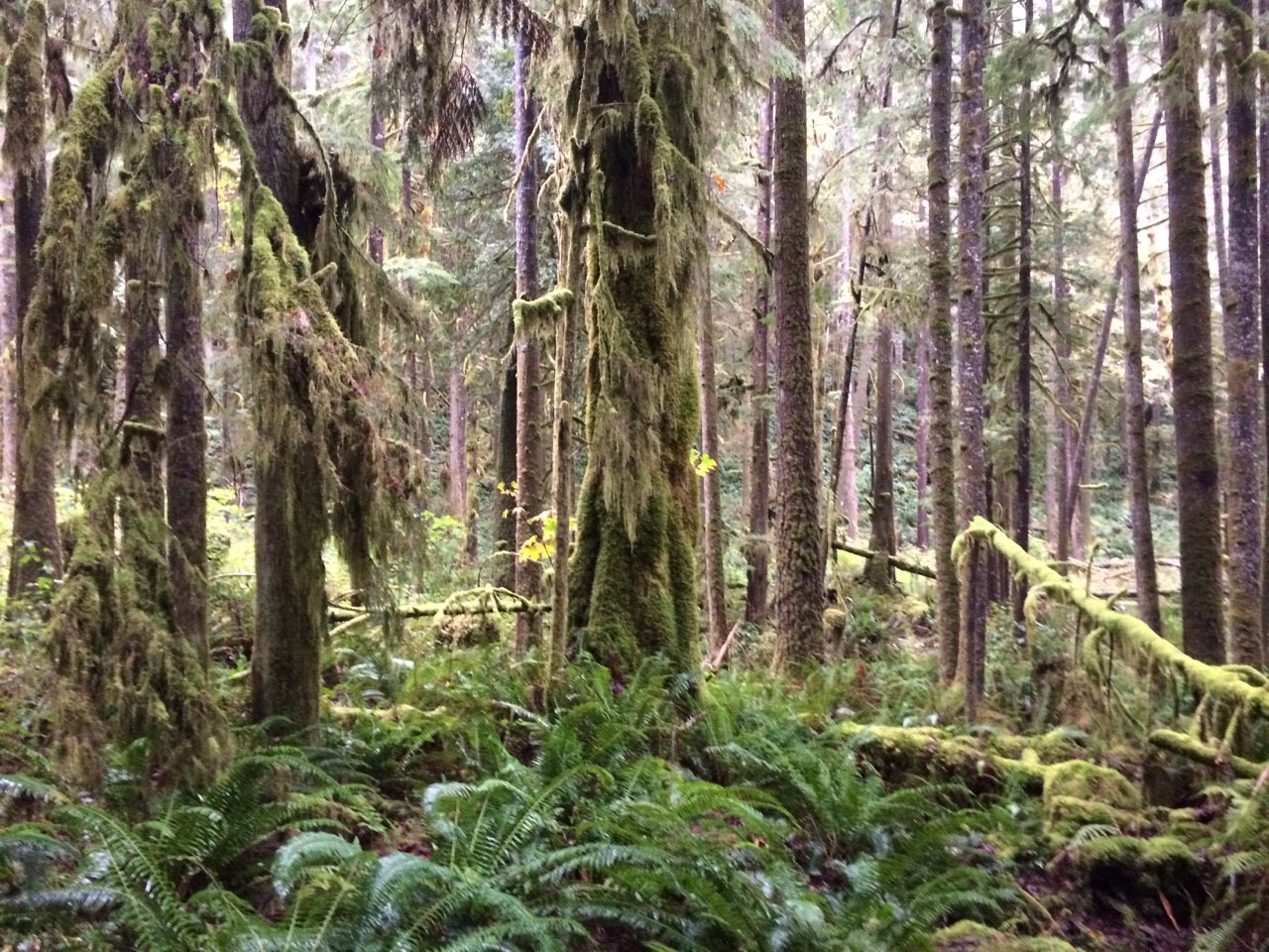
 A trip through the forest led to a 600 year old cedar tree.
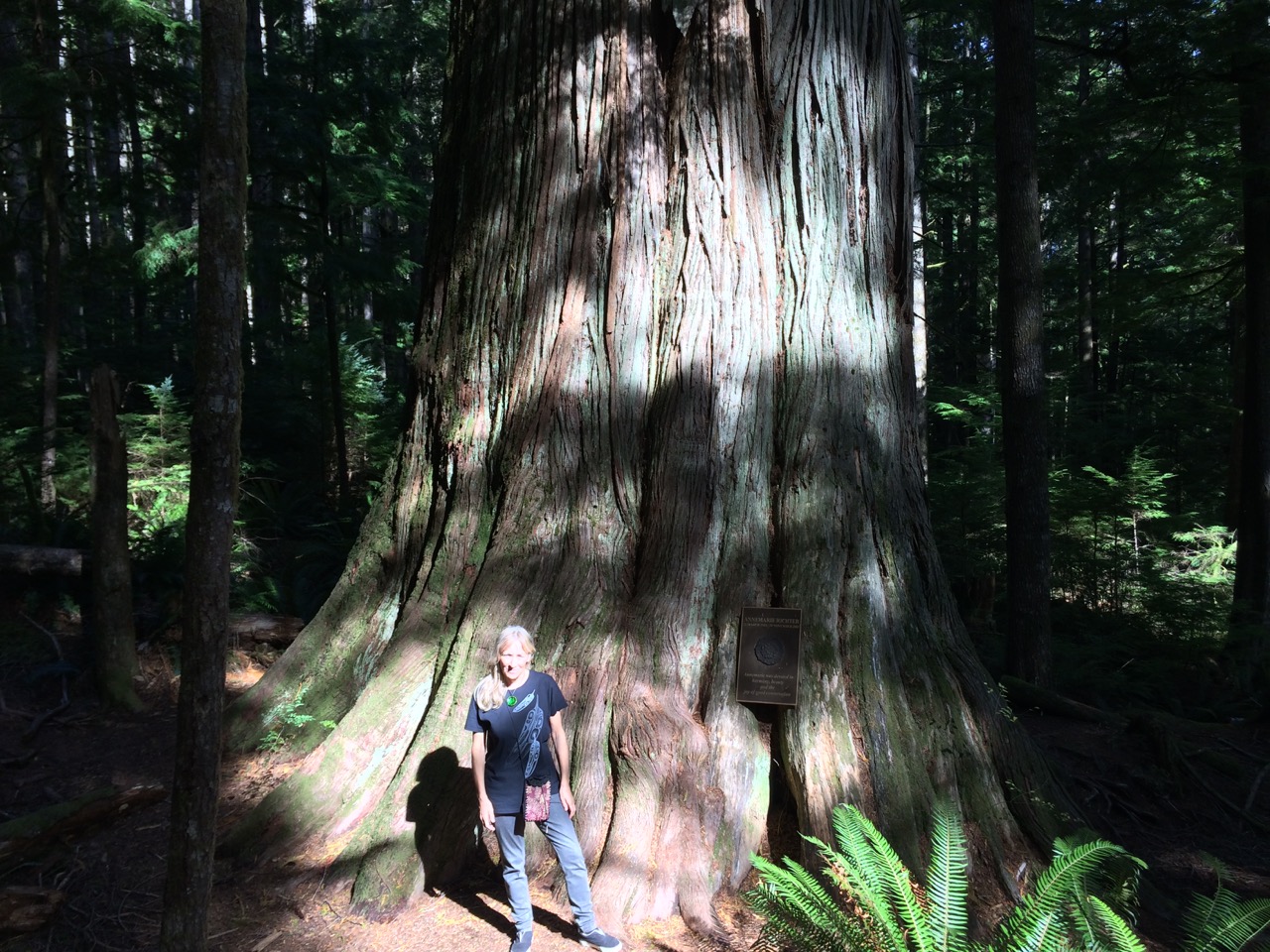
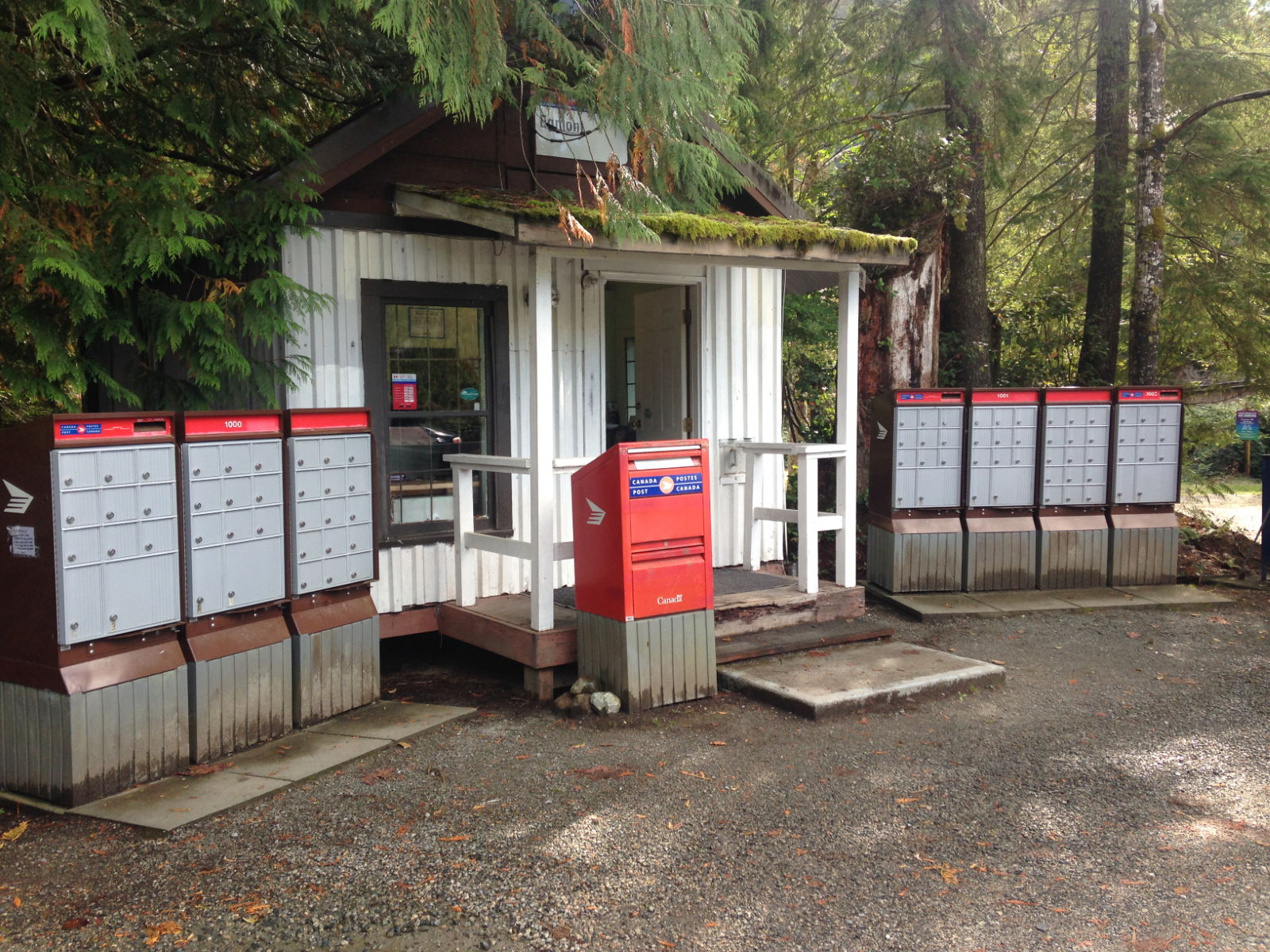
 I sent a postcard to an old friend from here, and the very next day the postman turned up in their plane to collect the mail and deliver new mail. We really are in the middle of nowhere here, It’s a big island, but has no electric, water or telephone. Electricity comes from a generator and a water powered turbine that makes use of the strong currents here. Water from a brook. Amazingly the internet is very good, but I think that is via satellite.
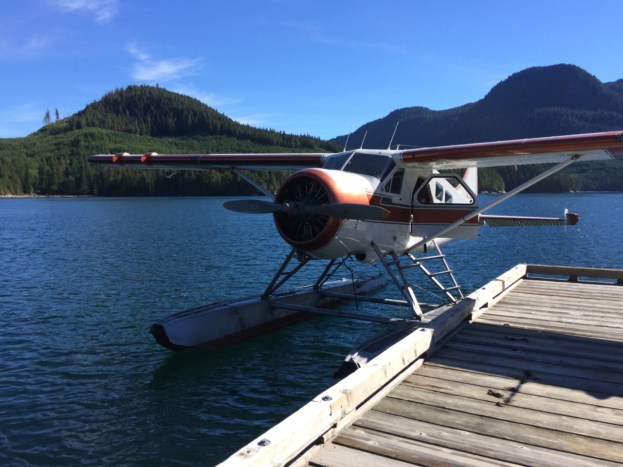 I had wondered how you tie up a plane to a dock?
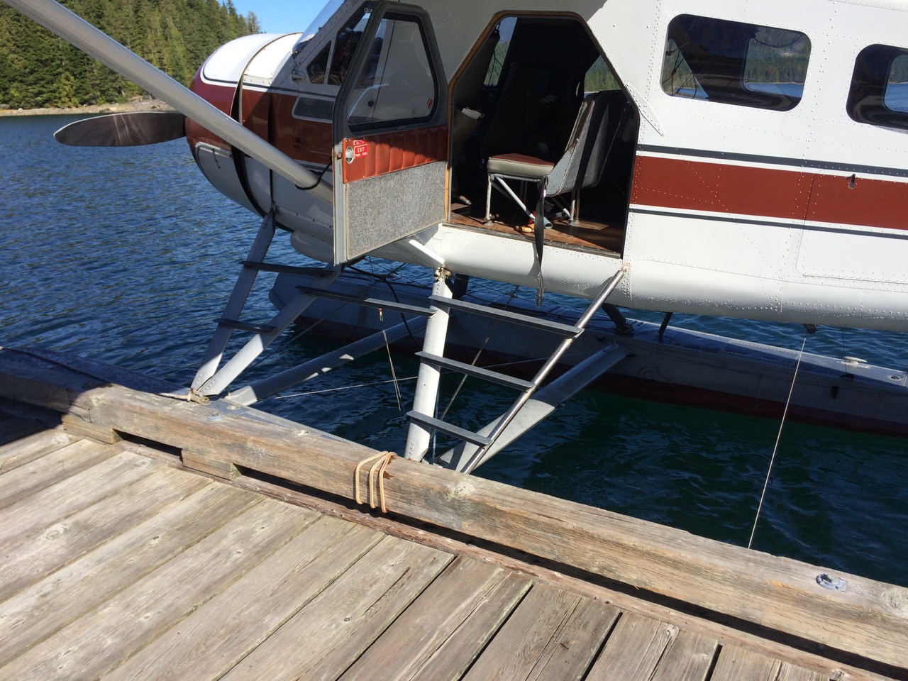 It seems a round turn and one half hitch is all that’s needed!
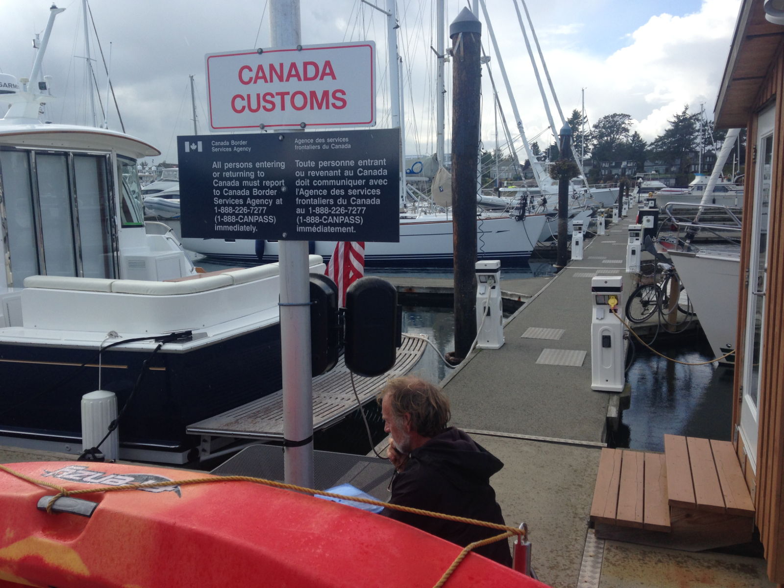
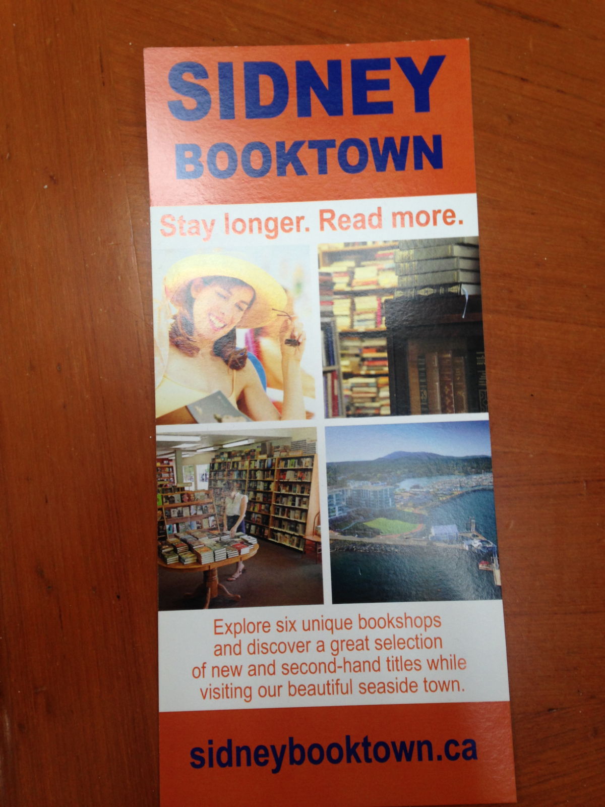
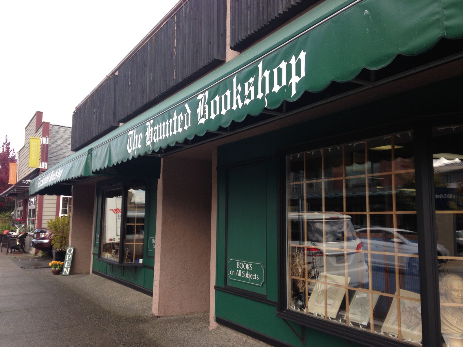
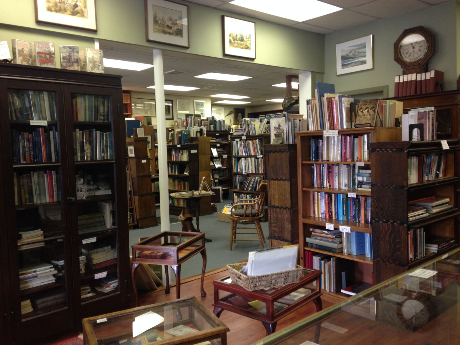
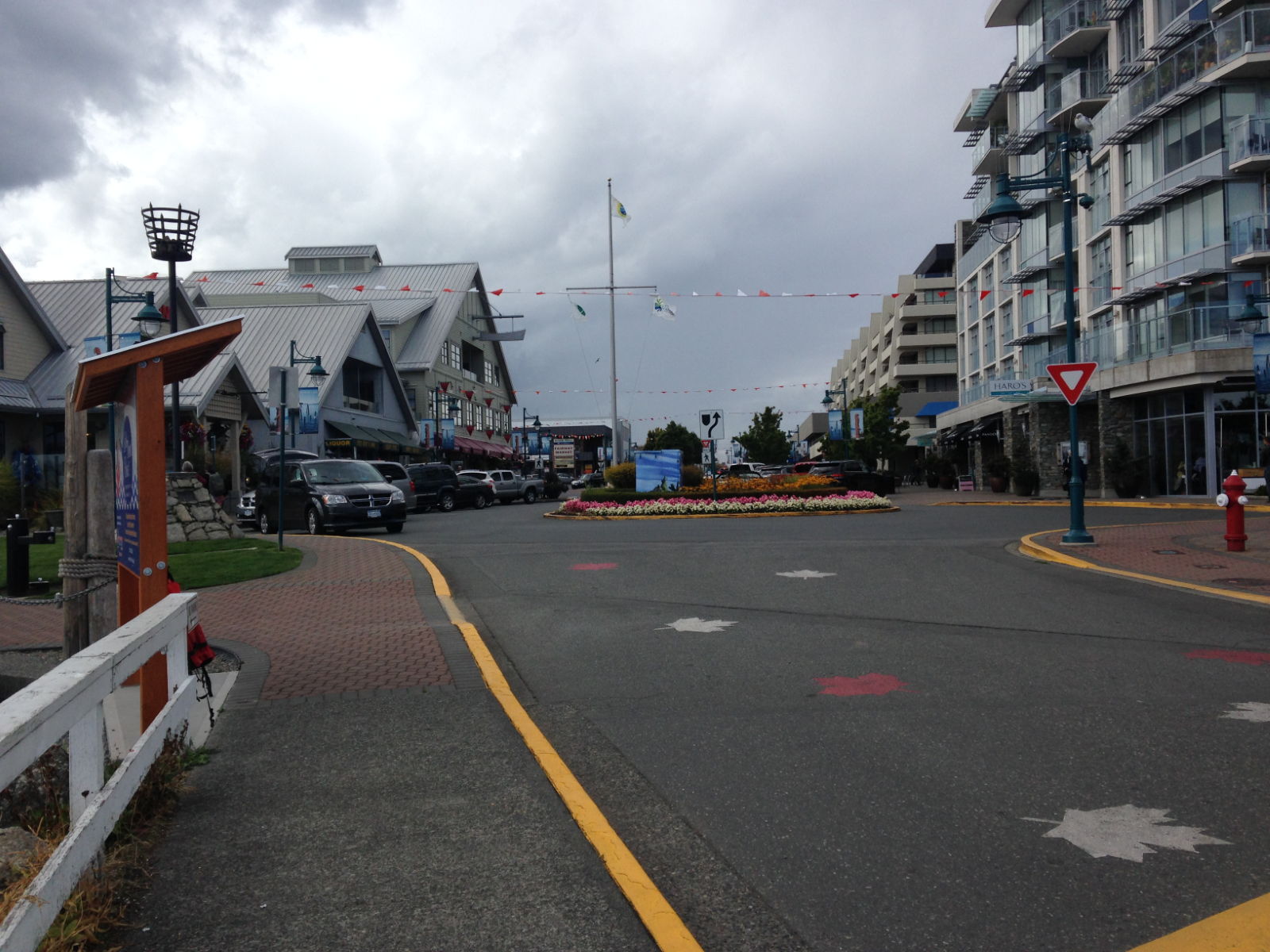
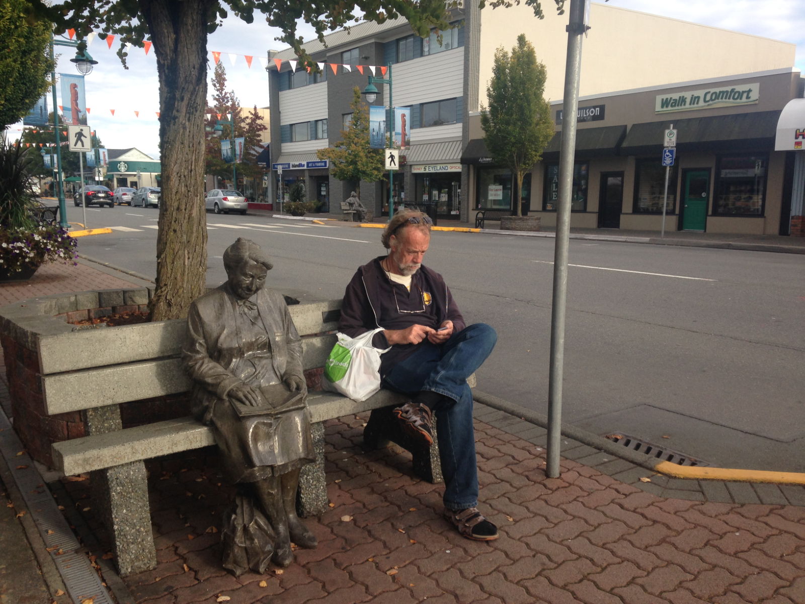
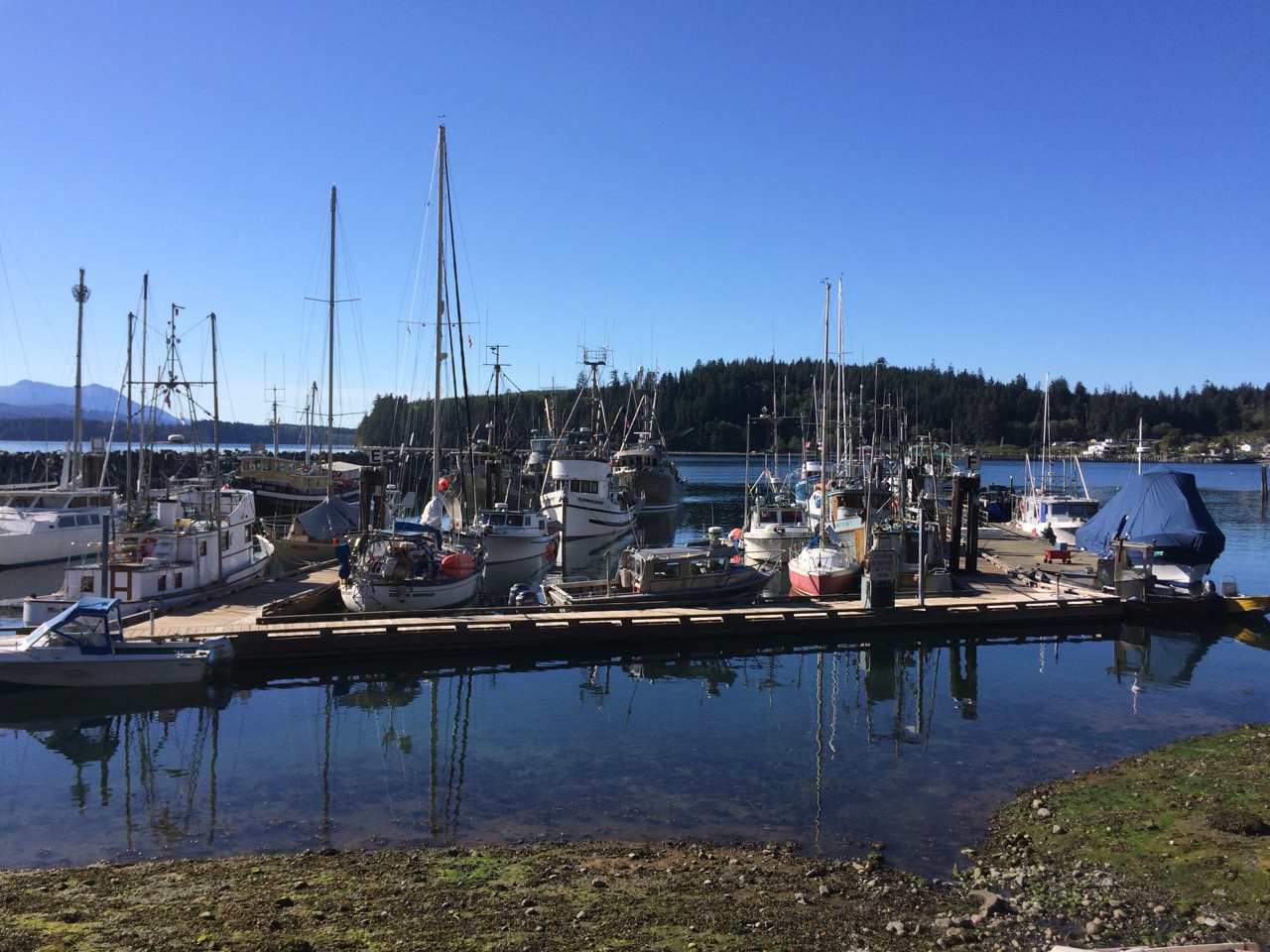
 After two days in Sidney, a town with a lot of book shops, we had to leave as the marina was booked up for a regata, we had gone there to have a break and enjoy Kathy’s birthday, we had hoped to find a good Indian restaurant, but the only one there had closed down. So we had to move along the coast to Van Isle marina which was also quite a posh affair, but a few miles out of the main town. It did have a lot of marinas and boat repair yards, I wandered around and found two chandleries, one with a load of Sikaflex (Marine Sealant) at a silly low price, I had to buy two tubes, even though I don’t think I can use them before their ‘use by date’
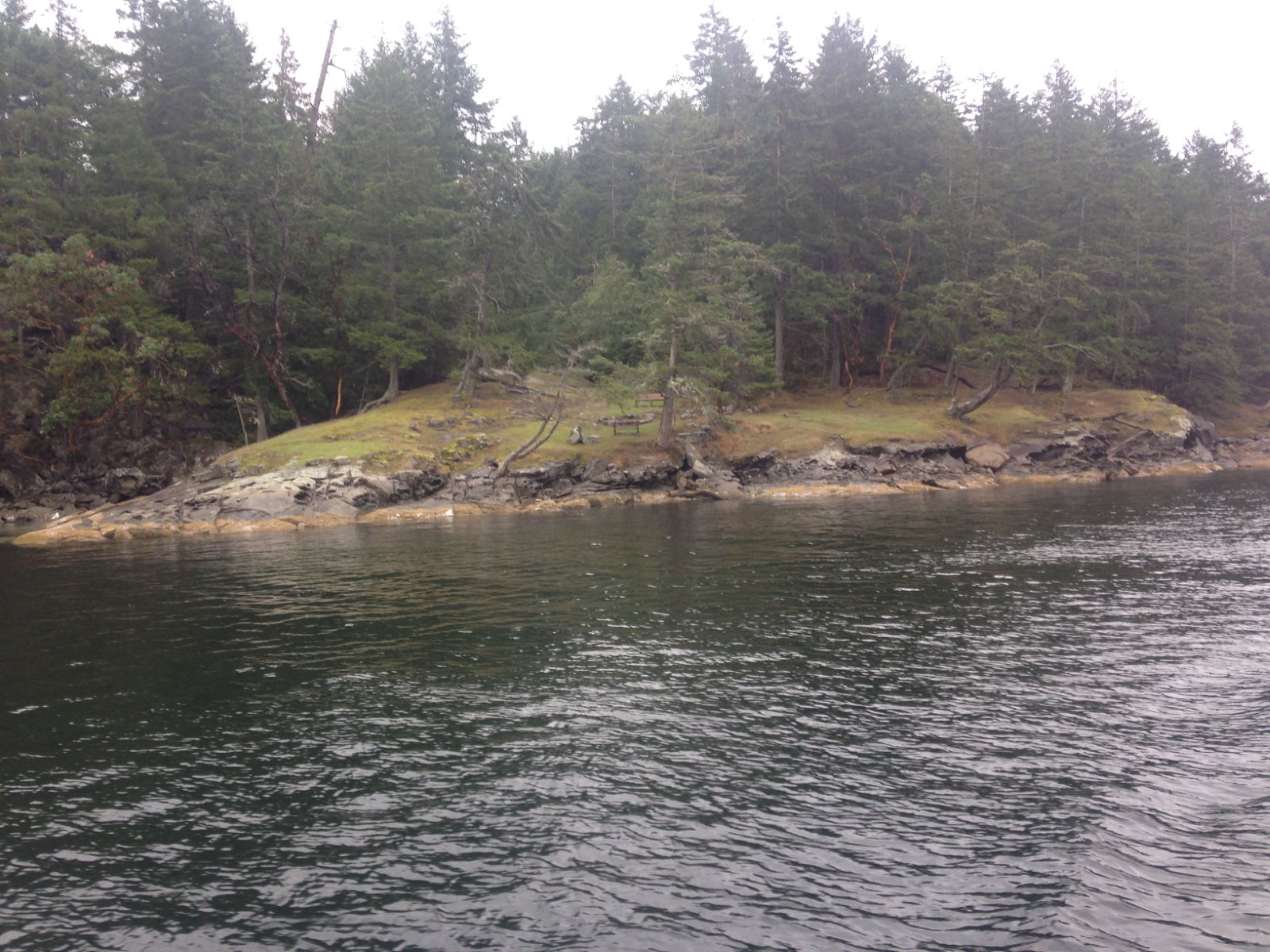
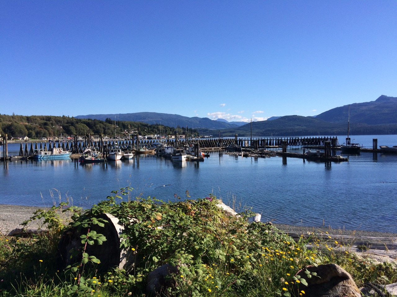
 The main reason for going to Pirates cove was that it was just an hour from Dodd Narrows, as I mentioned before, a quite scary pass where the currents run fast and dangerous. we needed to pass through around 9am so this was a great spot to leave from. As it turned out, there was no drama, passing through at slack water makes life very easy.
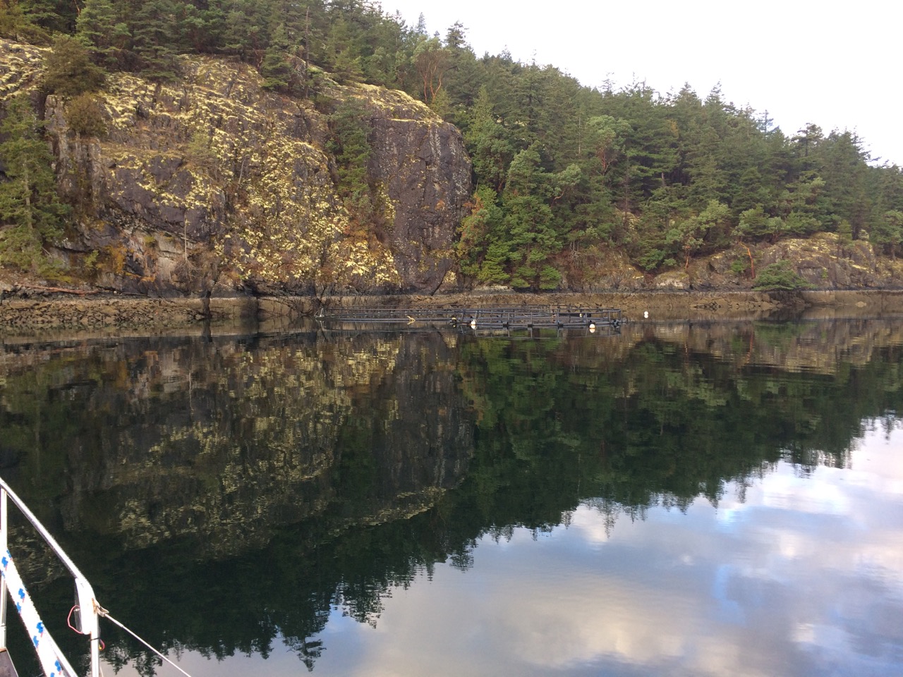
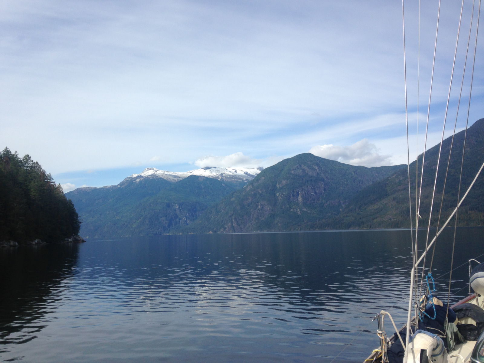
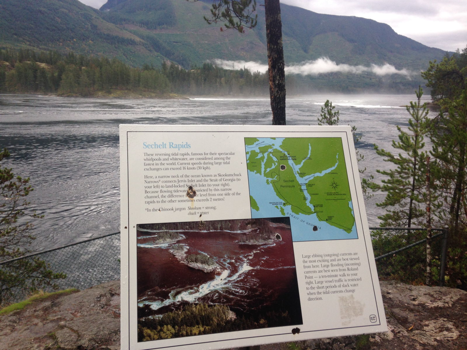
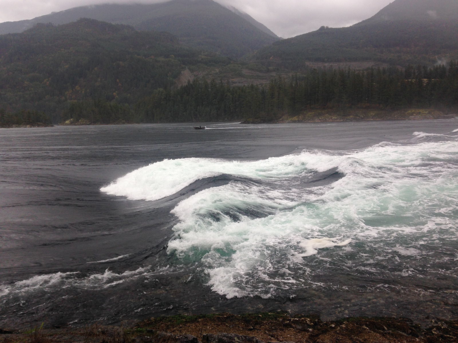
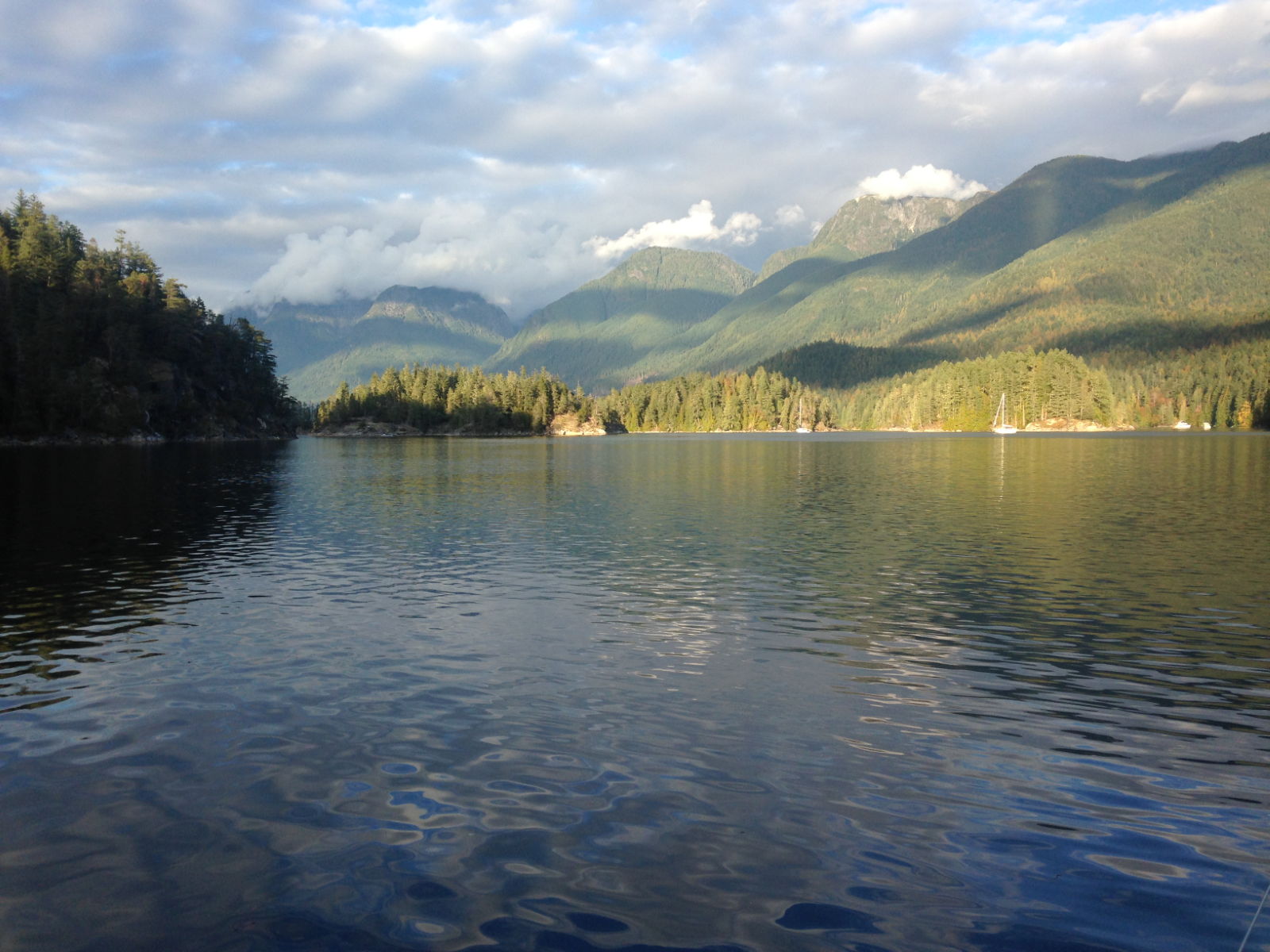
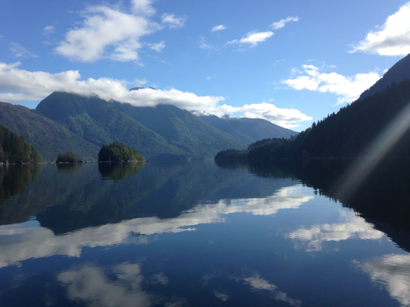
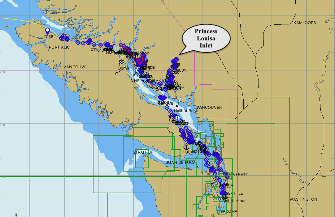
 Early the next morning we were on the move again, Lasqueti is about half way across the Strait of Georgia and we needed to get right over to the North eastern side in order to visit Desolation sound and the other back channels that we had heard so much about. Around this time I asked Kathy to check out if there was anywhere she really wanted to see, or could find any ‘must see’ places on the net, she quickly came up with the idea to visit Prince Louisa Inlet, a small inlet of outstanding beauty with a giant waterfall at the head called Chatterbox Falls. Looking at the chart, this was an easy diversion from here, so we headed north and cut through the Agamemnon channel up to Jervis Inlet which lead to our inlet.
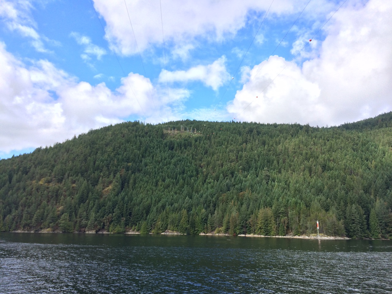 As we passed under the cables they just seemed to get lower and lower, I really don’t think I could ever do the intercoastal waterway up the eastern side of the USA as so many of the bridges there are just a little bigger than my mast and I think I would freak at each one.
 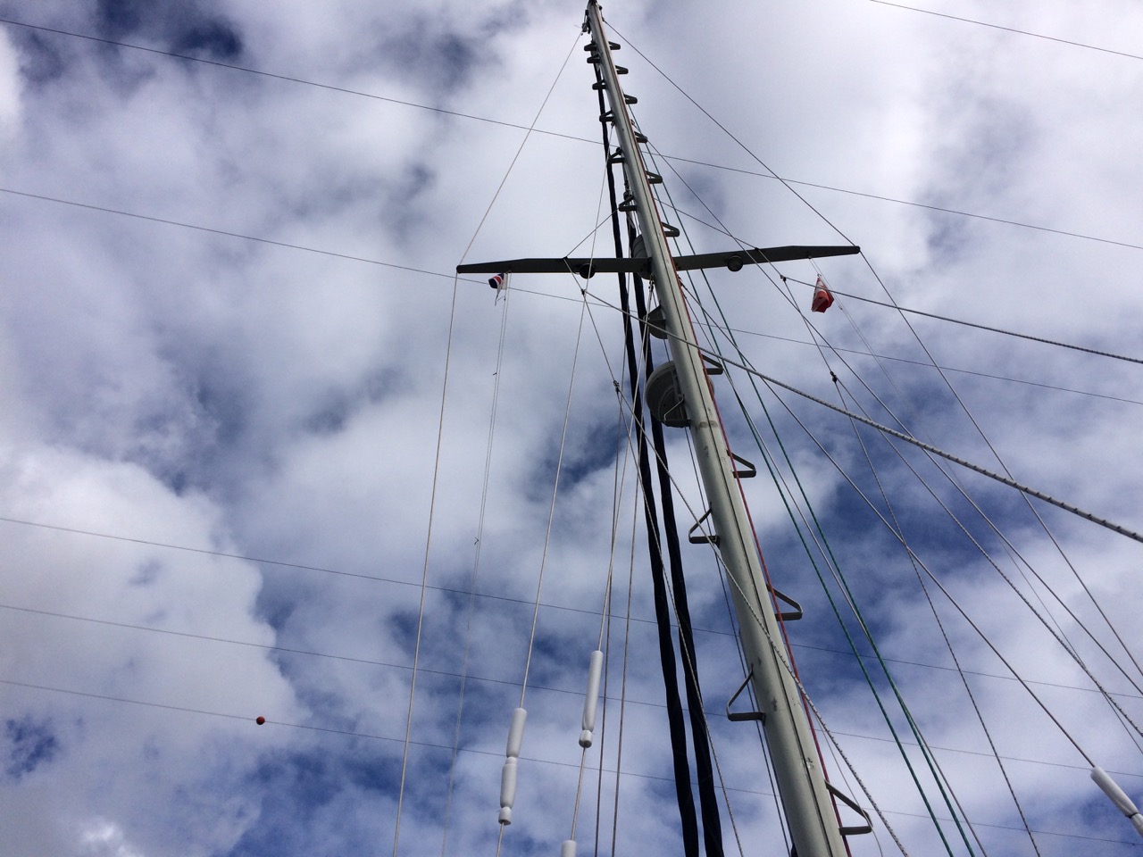 However we passed through and looking back felt a bit silly as for some reason now they seemed to be about a mile up in the sky. Around here we passed another sailing boat who was making about 1 knot under sail, there was next to no wind. I admired him for not rushing and burning fuel like us. He was sitting in his boat saying to himself “Sister Midnight, I know that name…??”
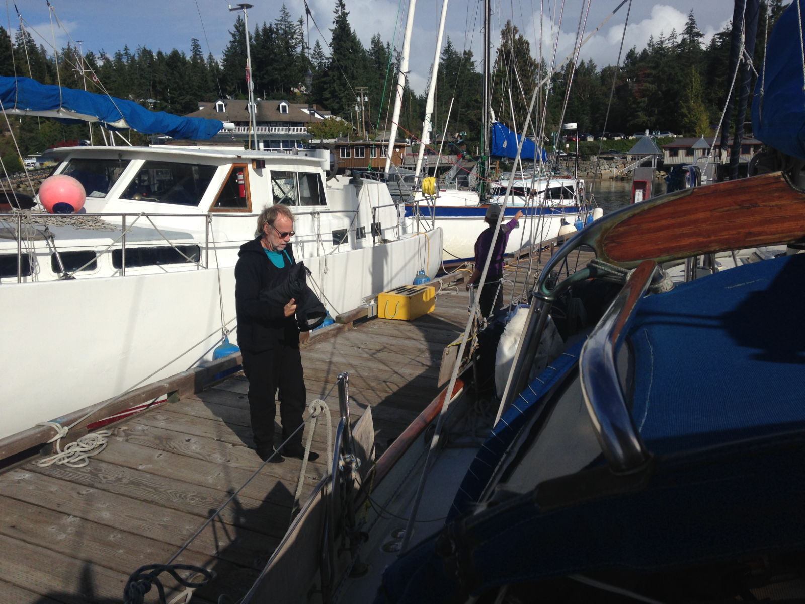
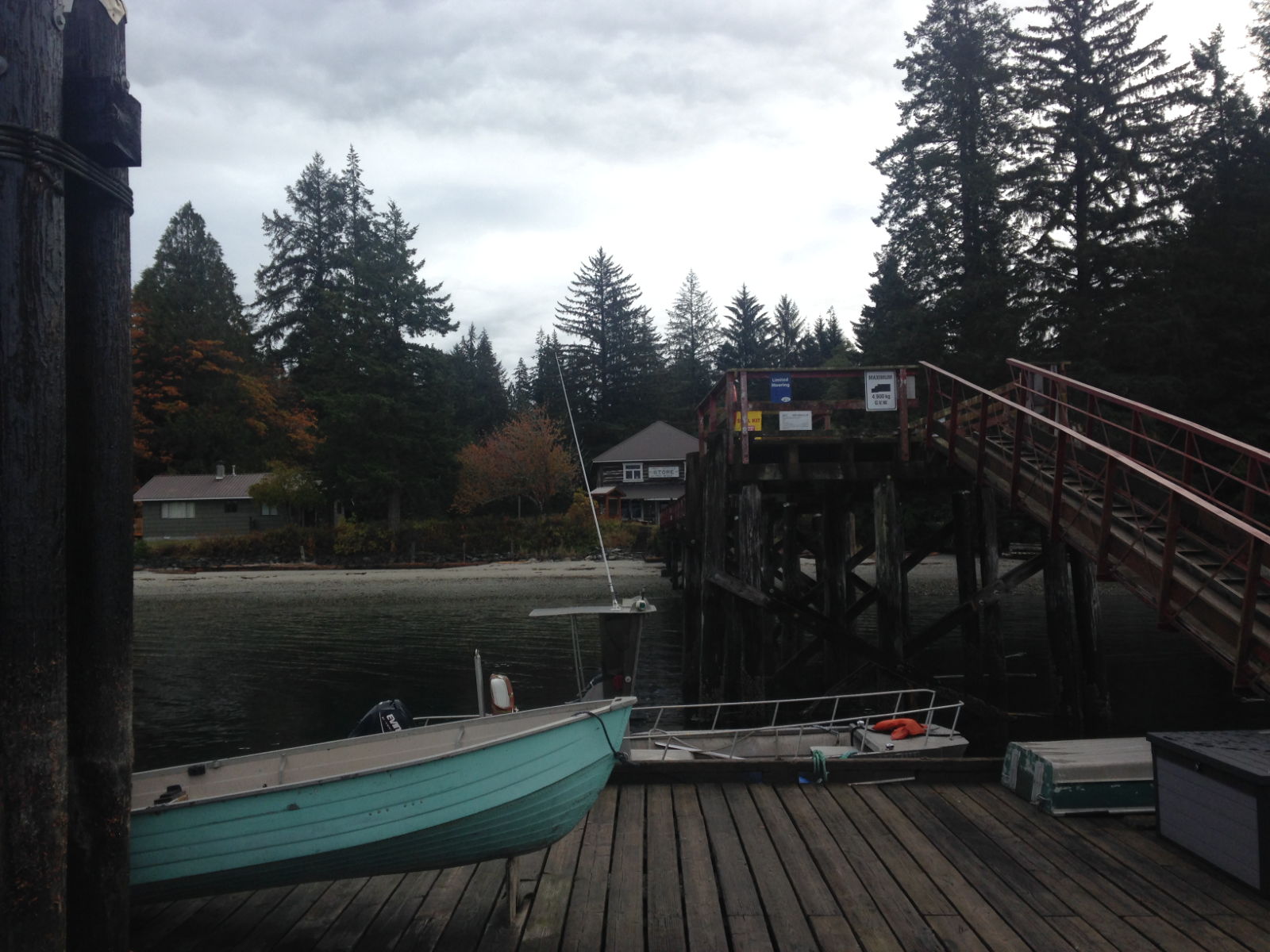
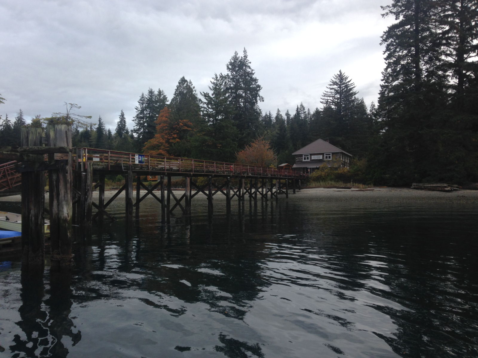
 We headed down to the pontoons to see how it all worked when we met the sailor heading up to the shop, I stopped and asked him if he was the skipper on the yacht that just arrived, he said yes and we chatted, I told him we had passed him under the pylons and he told us he was down from Sointula and I explained that we were heading up there. At this point he realised why he thought he knew Sister Midnight, he asked my full name, then introduced himself as Jim the guy I had been emailing with over the last few months as he was going to be looking after our boat while we returned to the UK. he had just sailed down here for a few days exploring. Quite a coincidence. We bumped into him later in the grocery store, but that was less of a coincidence as the grocery store was the only shop for 5 miles and there was nothing else to do 🙂
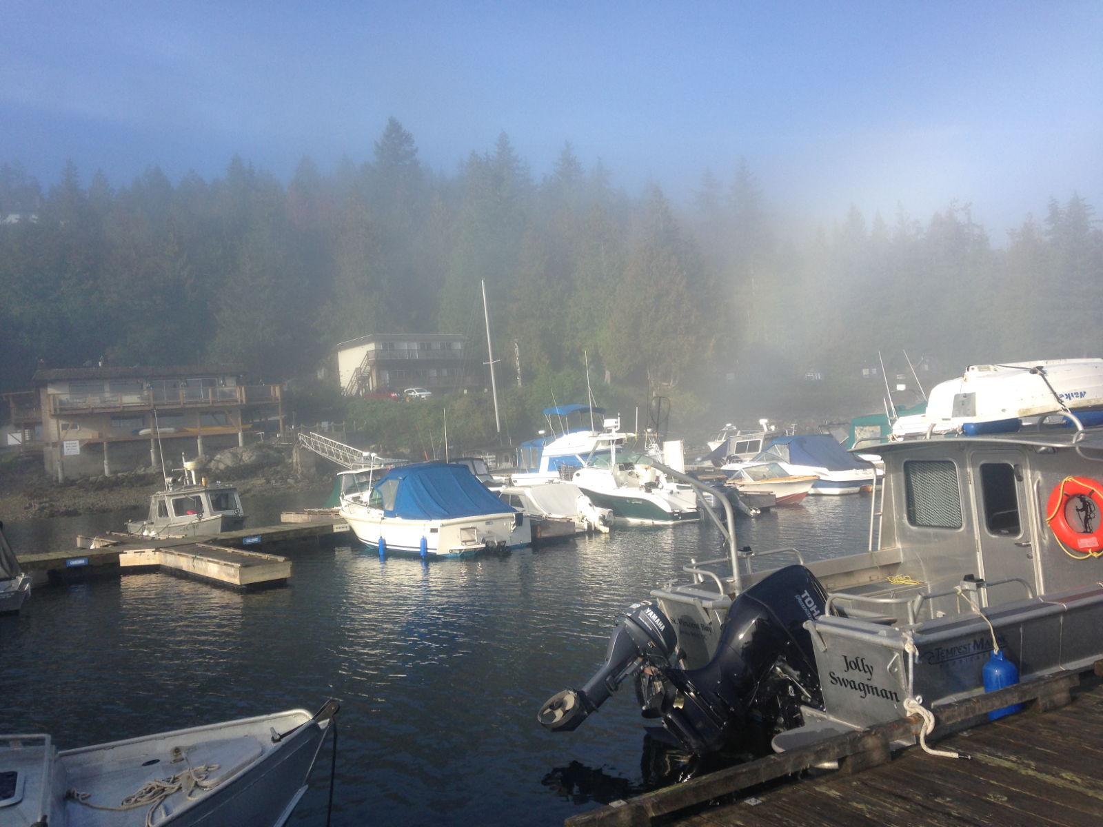
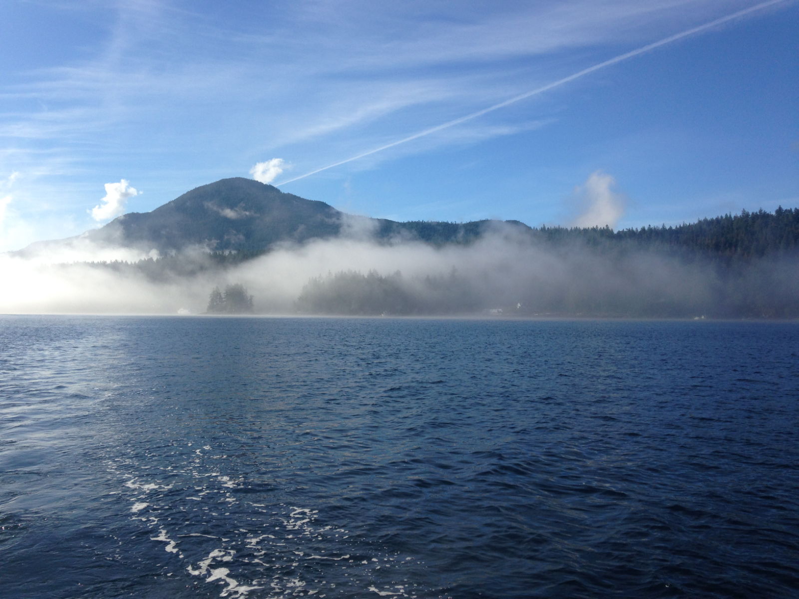
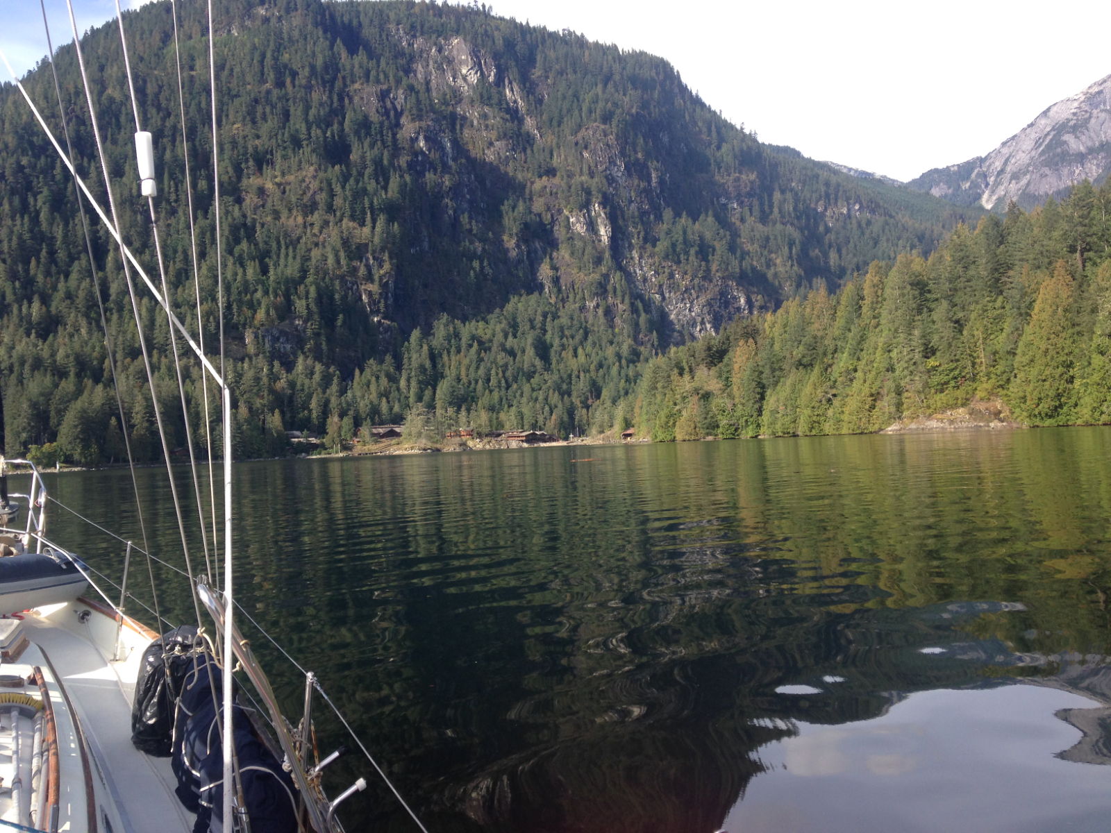
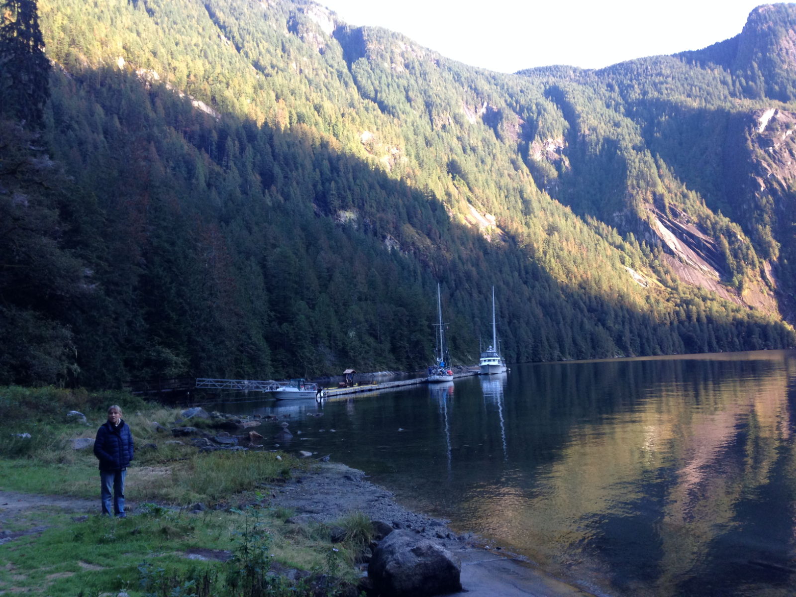
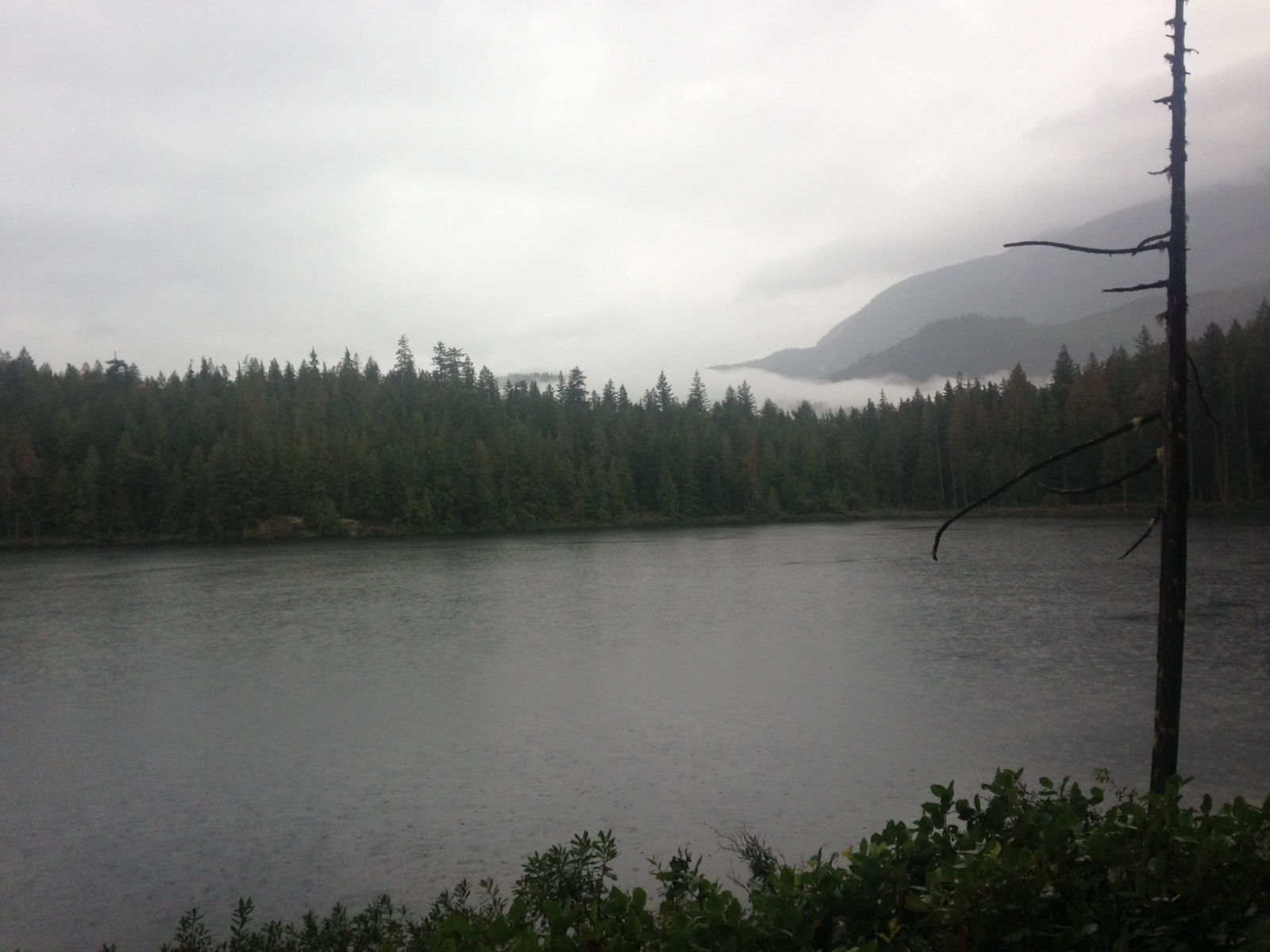
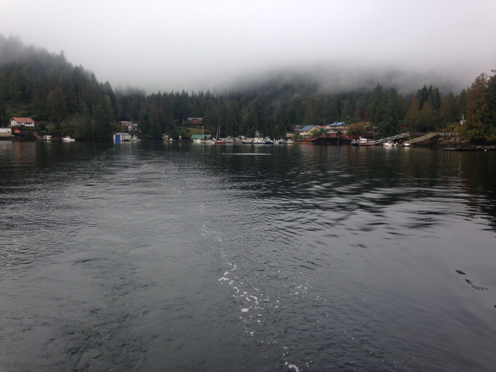
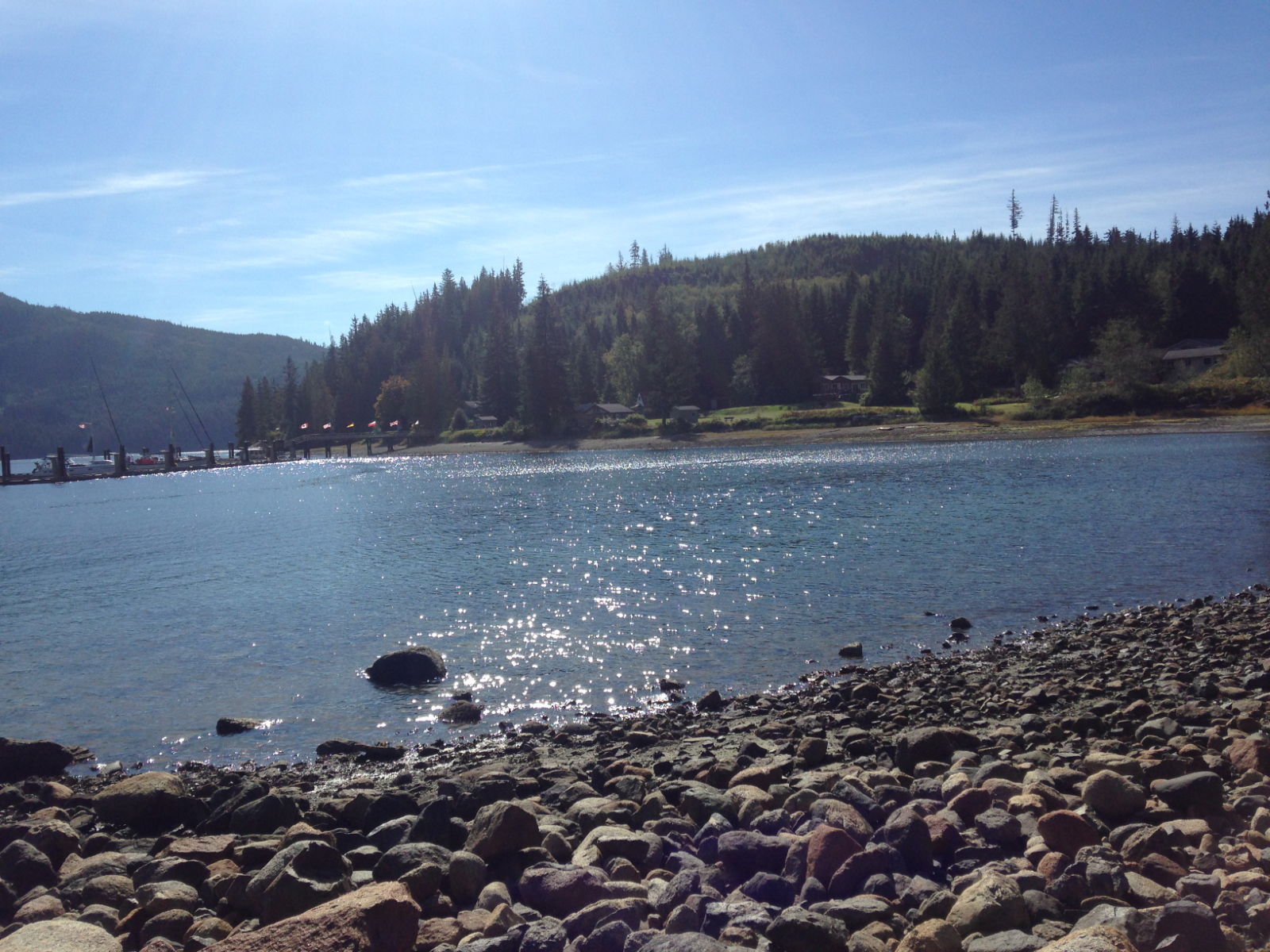
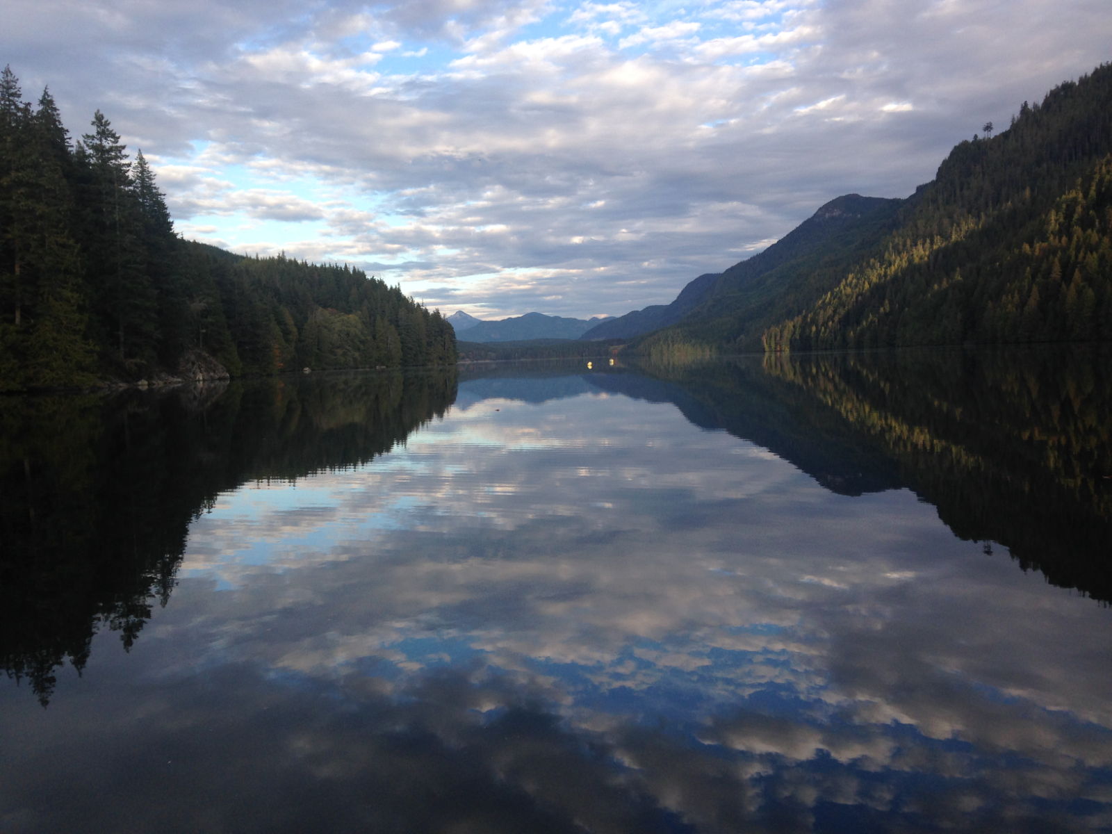
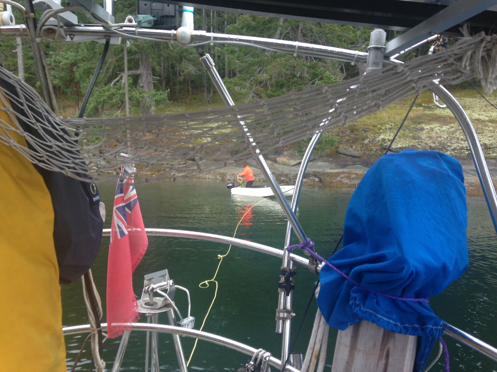
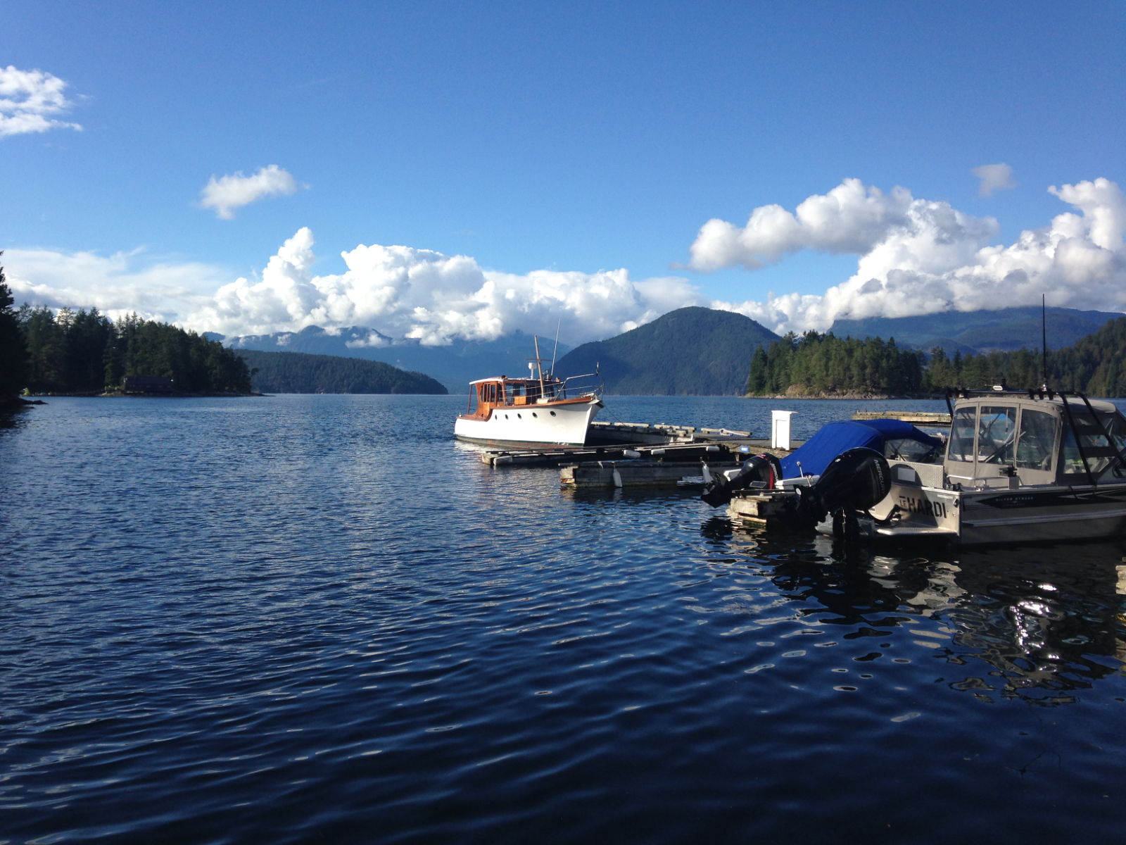
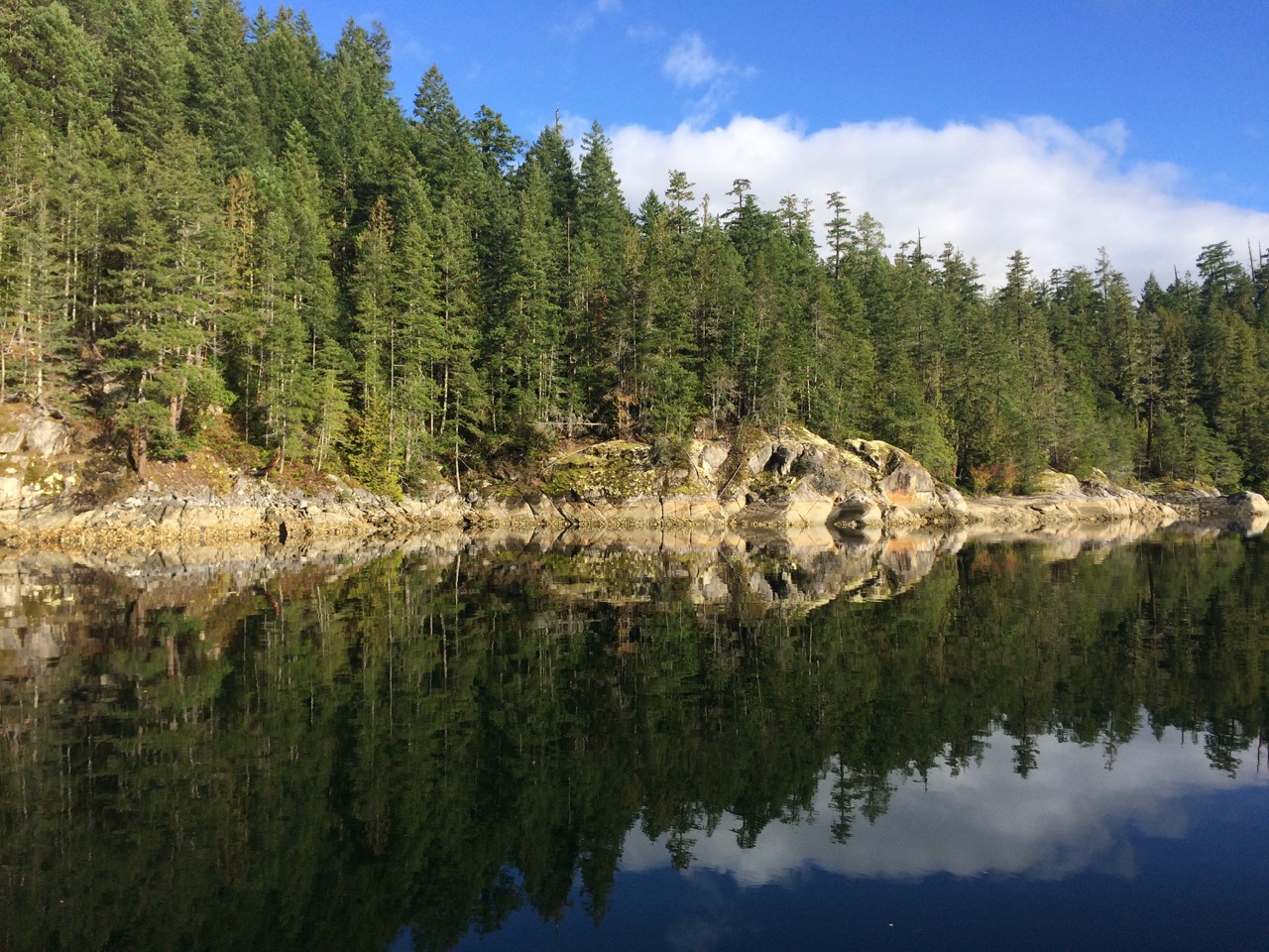
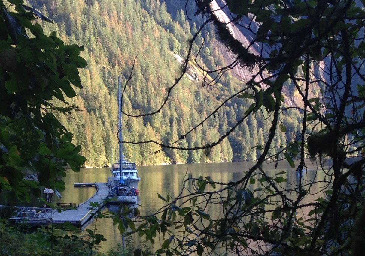
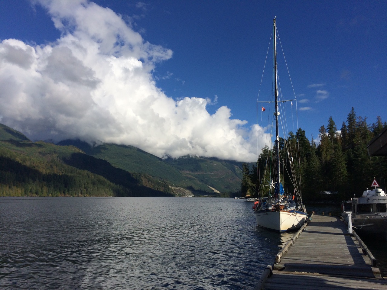 When we arrived it was lovely and sunny but in the morning the fog had descended and I worried if we would be ably to make the 35 miles up to Princess Louisa Inlet, but a local arrived in a small skiff and he told me the fog was only around the marina and was caused by the colder water you get around the rapids.
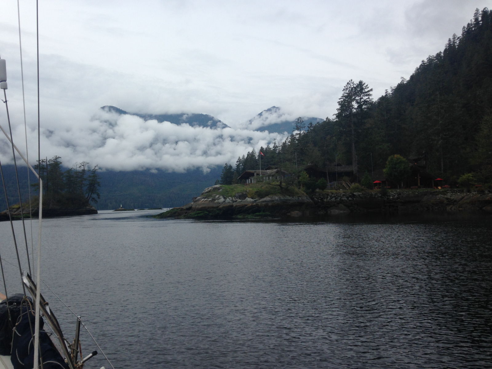
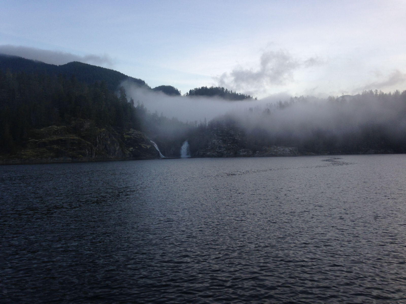
 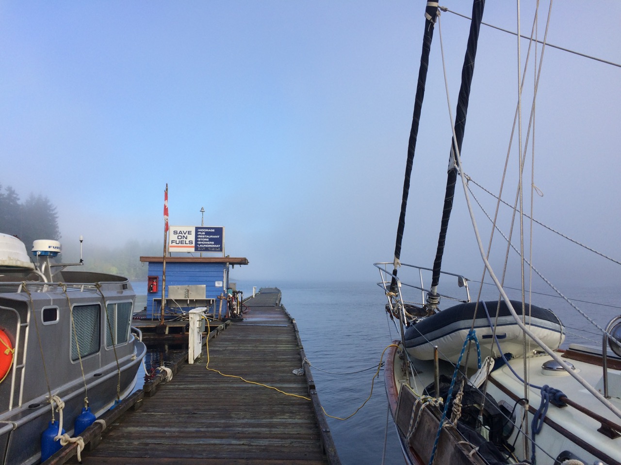 We set off and sure enough the fog was very isolated around the marina, the pic below is looking back to the marina from about a mile away.
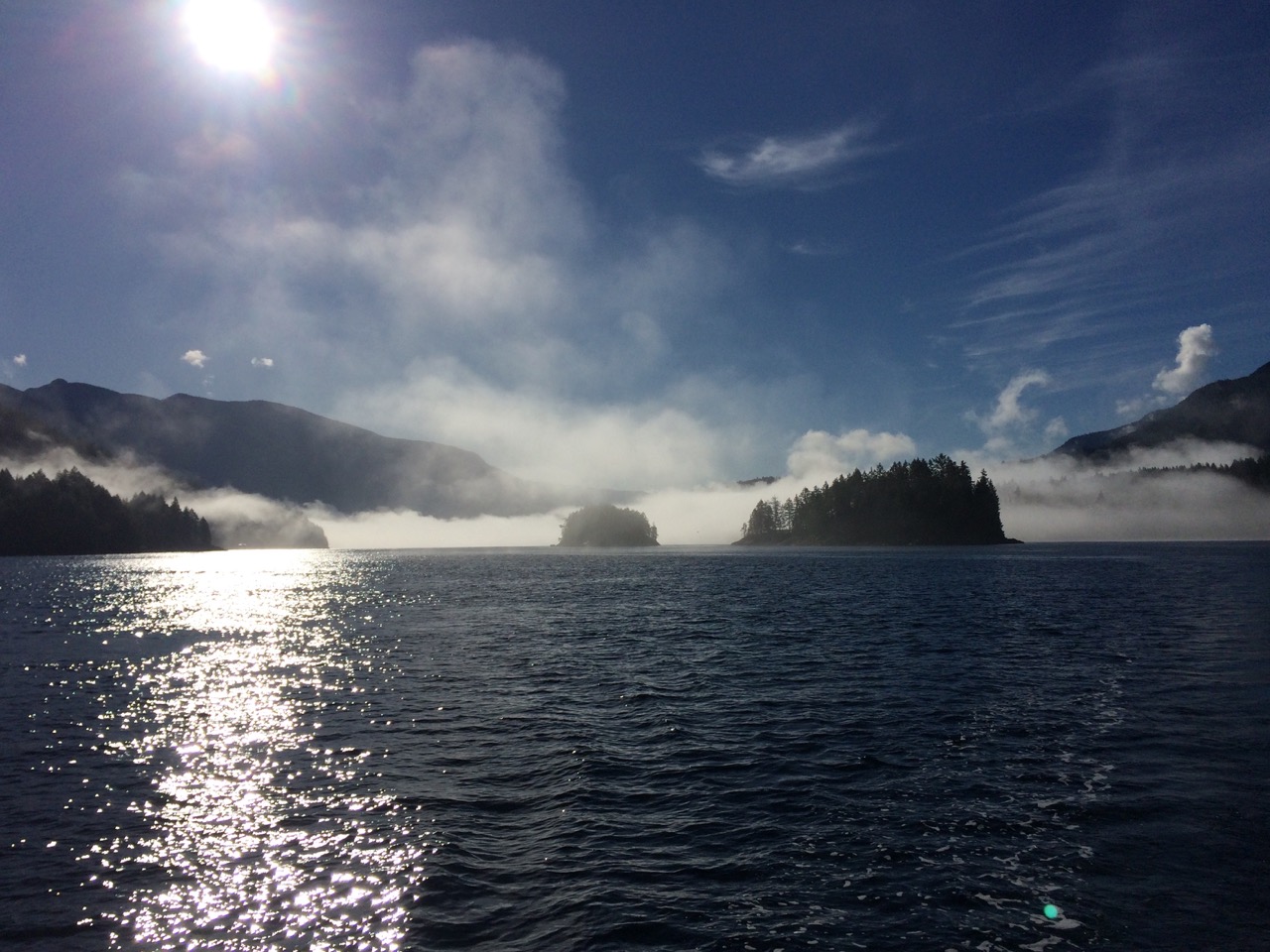
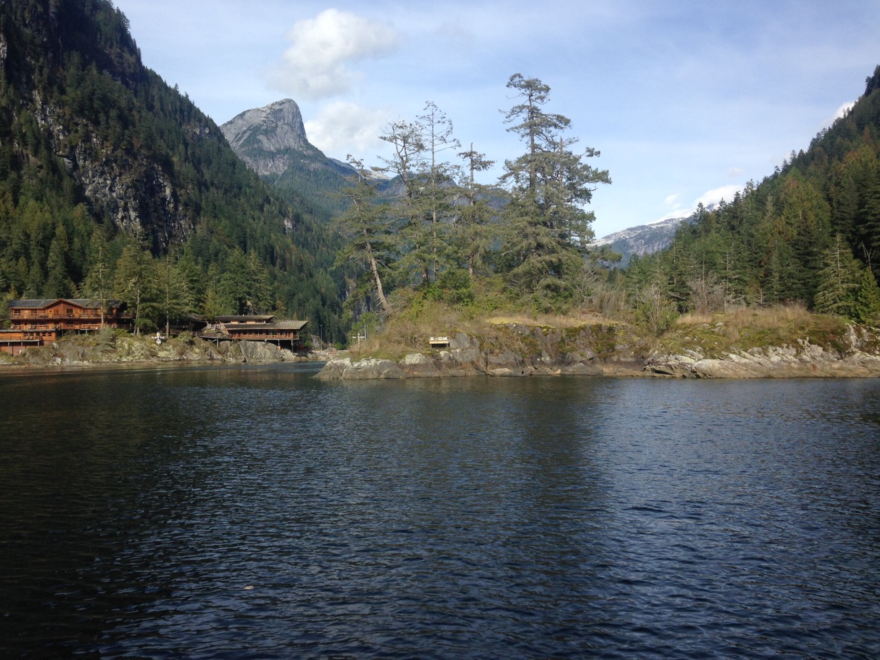
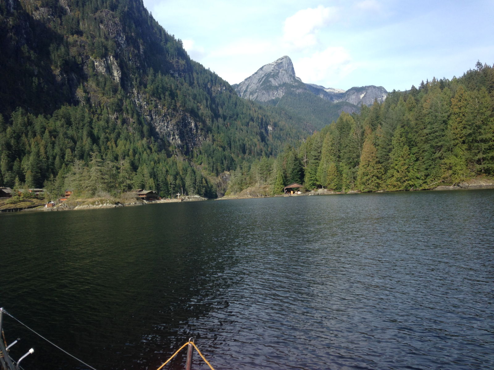
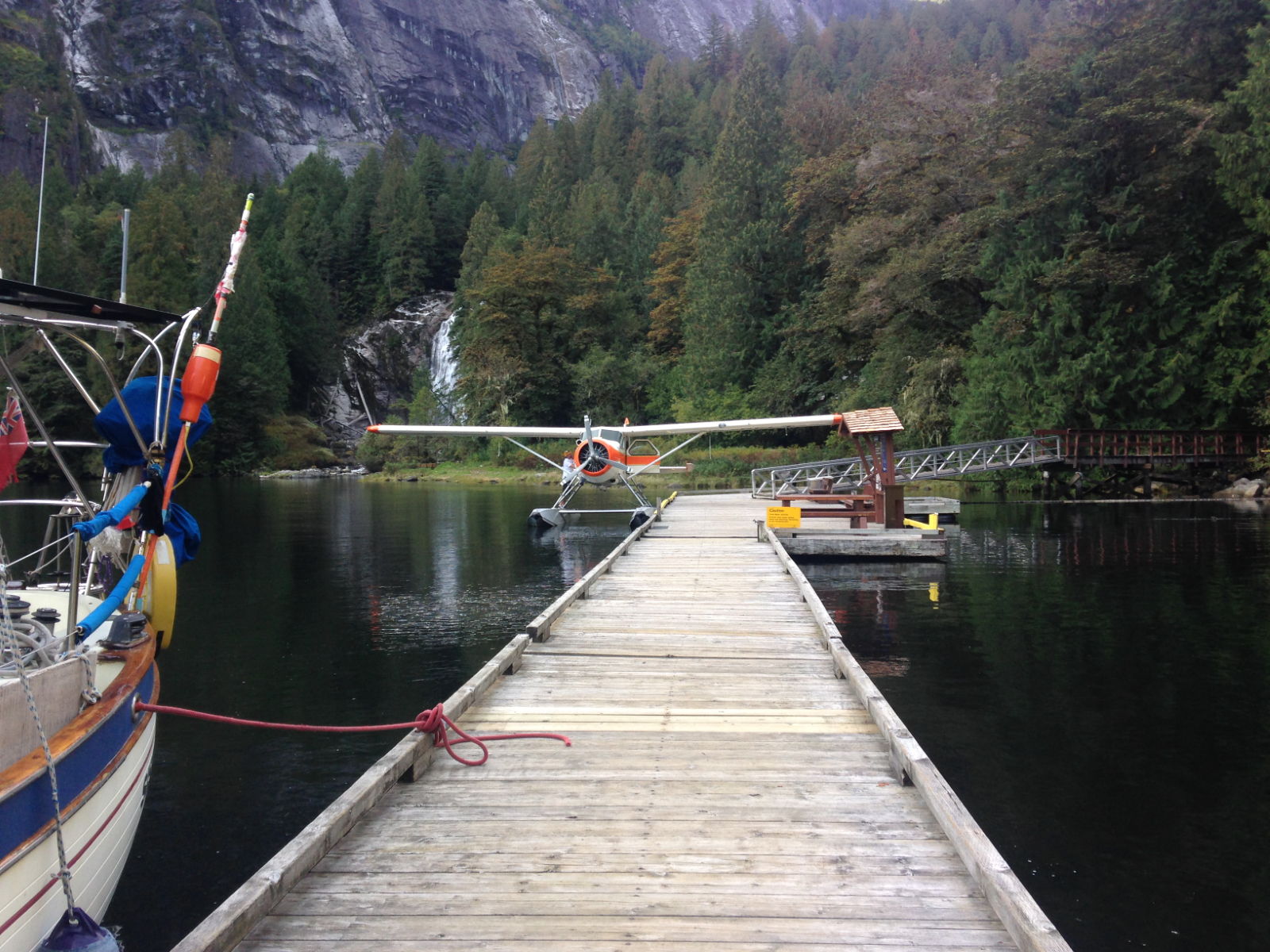
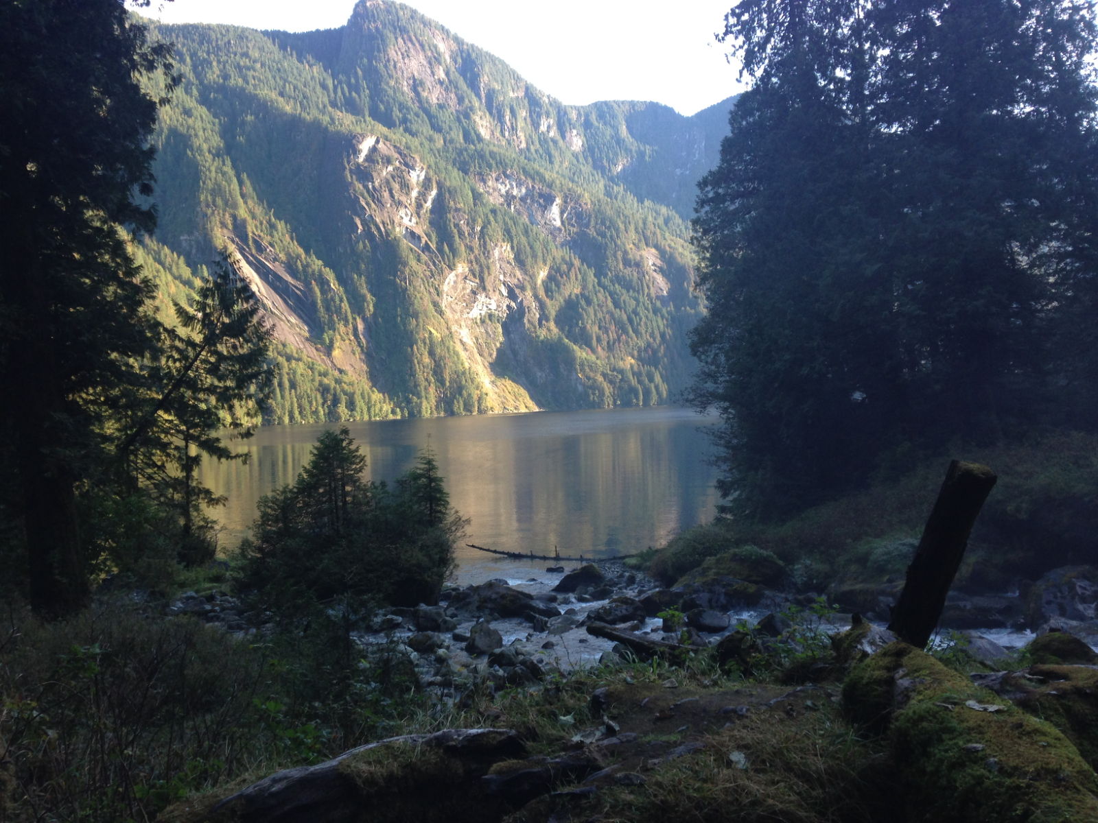
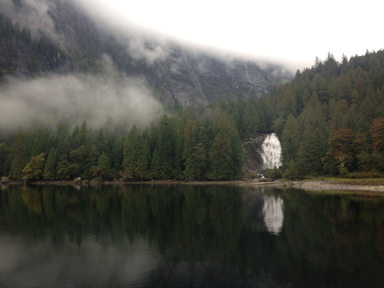
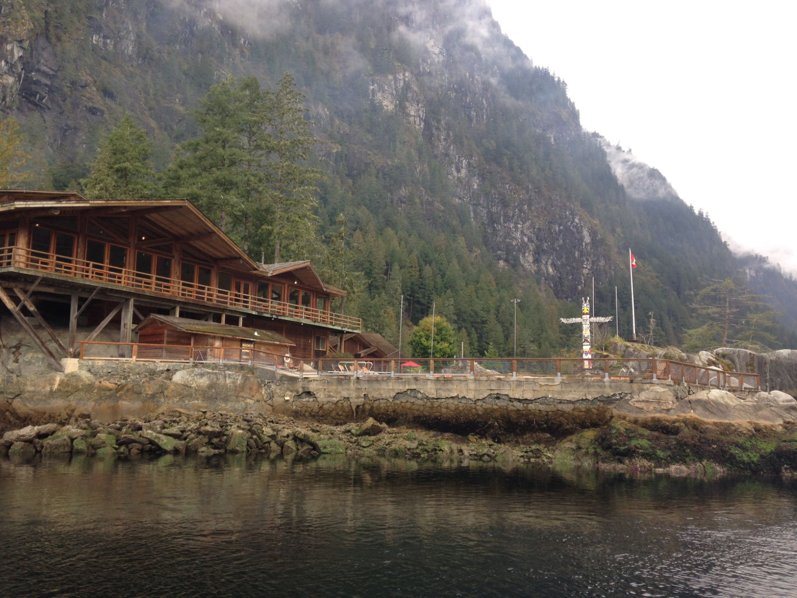
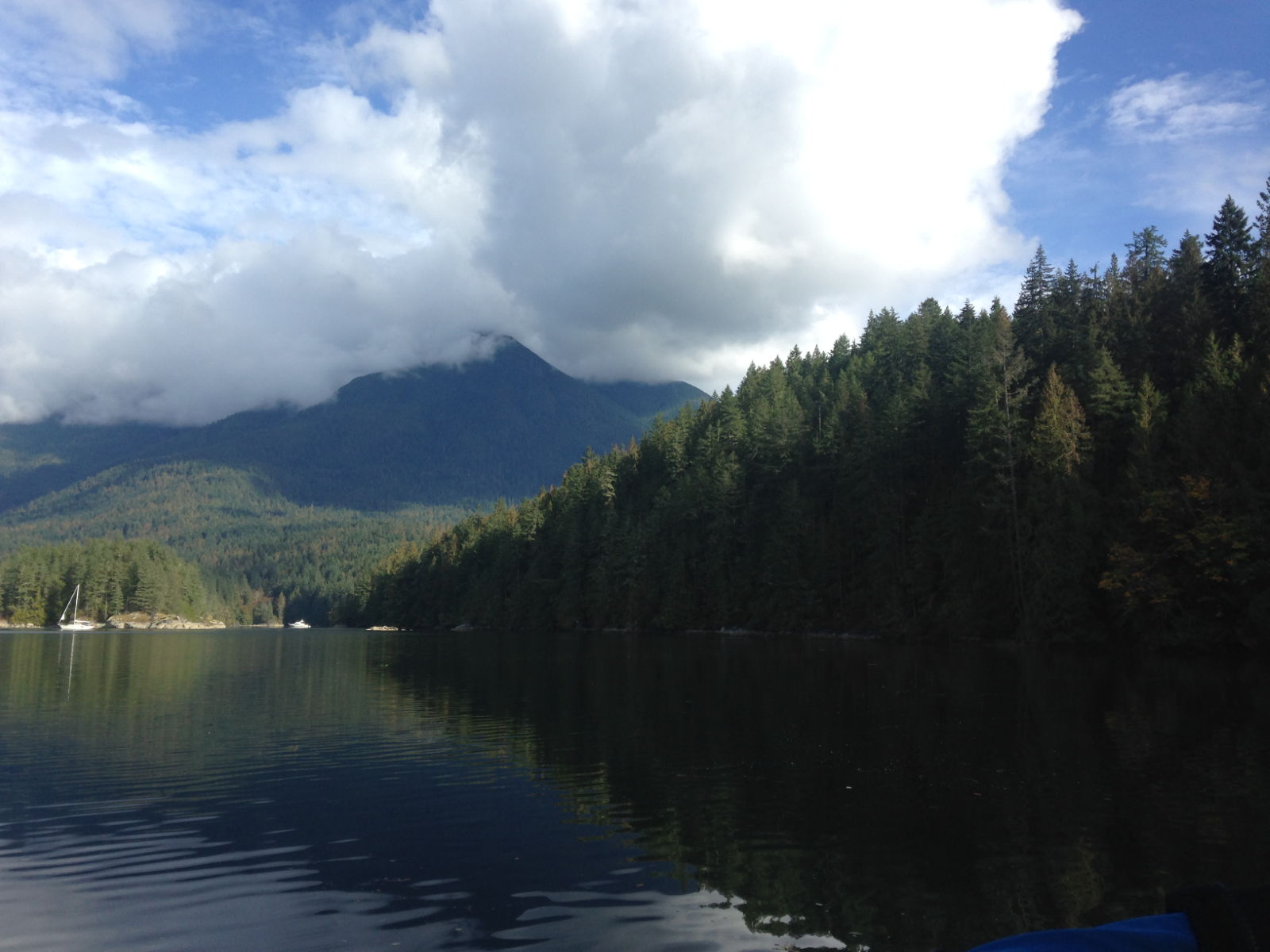
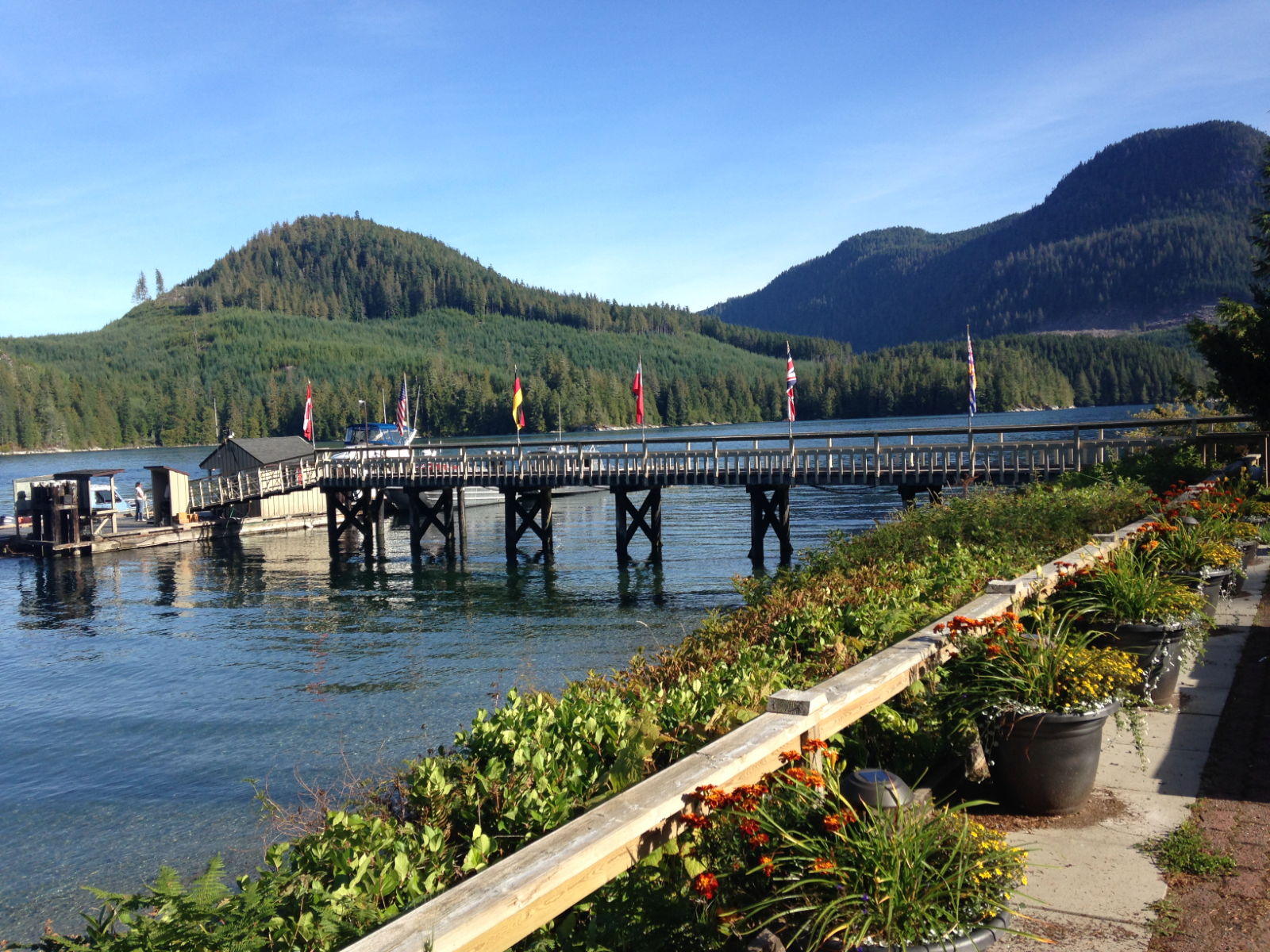
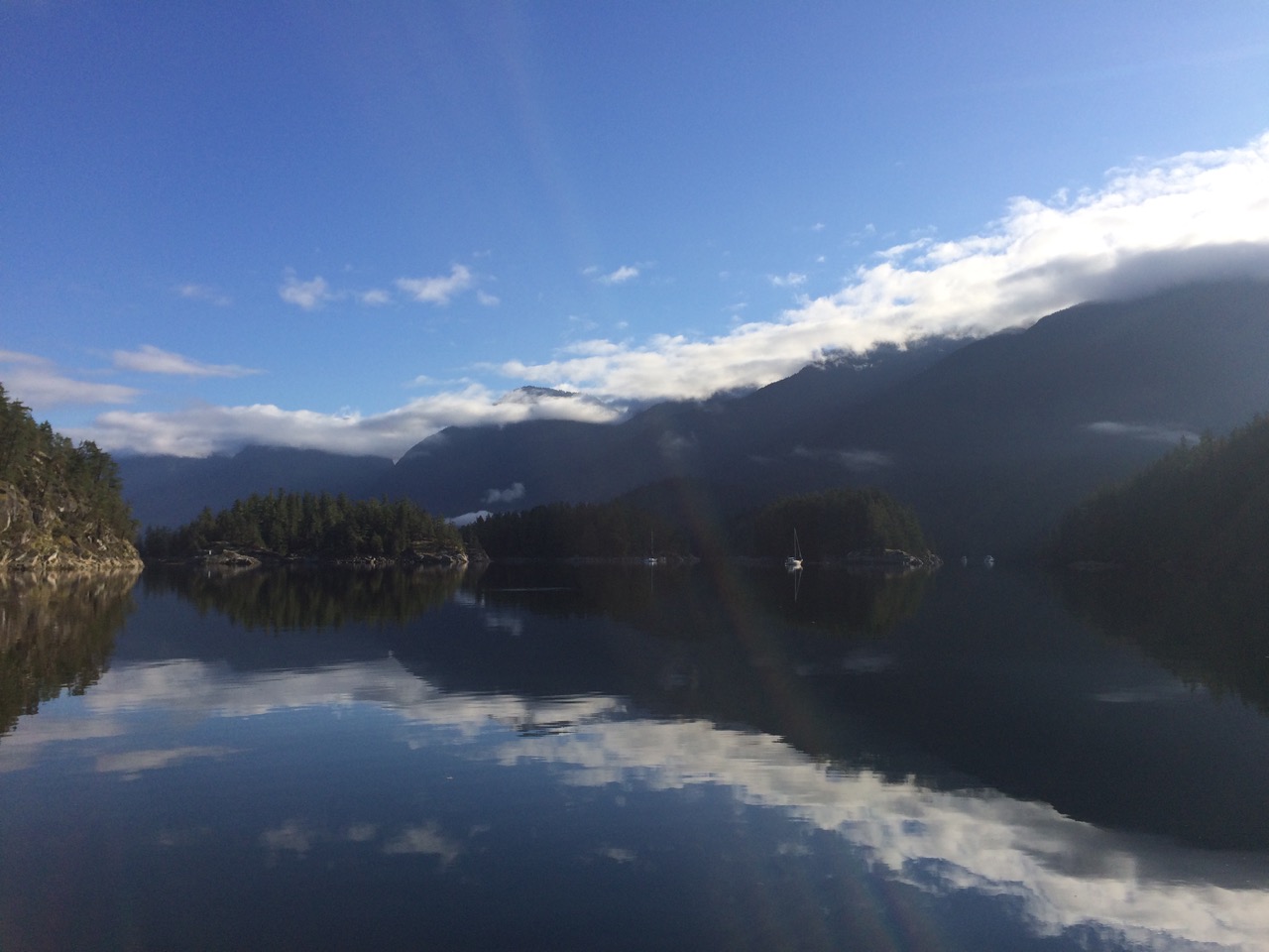
 At the head of this inlet is the famous chatterbox Falls, in June the sheer mountainside vertical walls all along the inlet are flowing with waterfalls
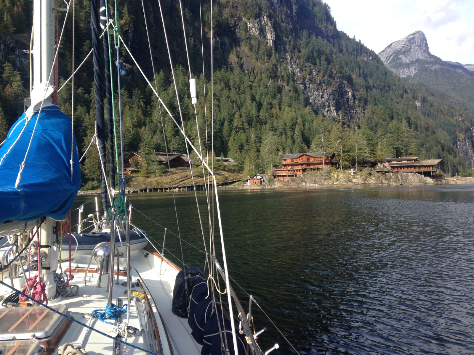
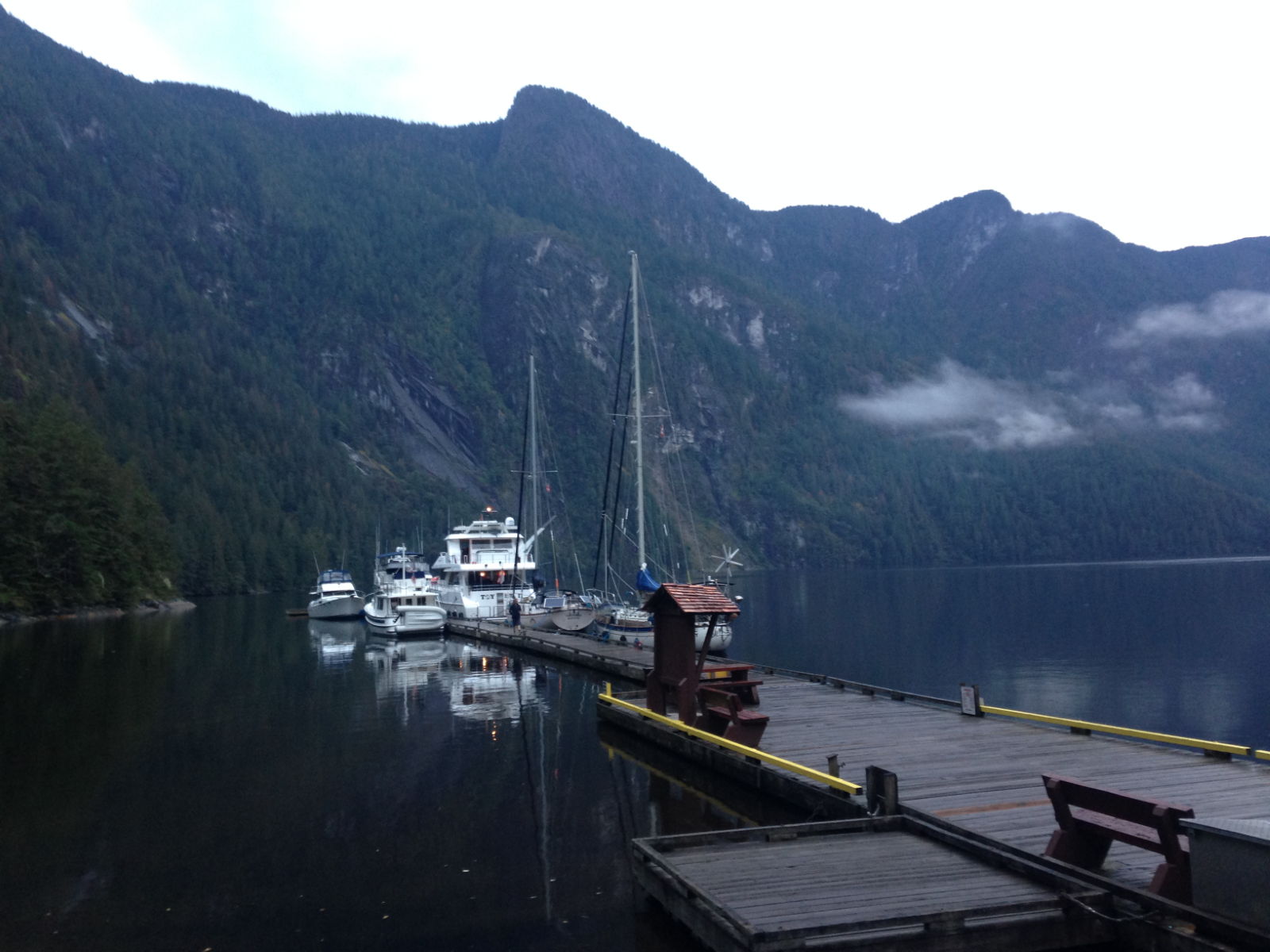
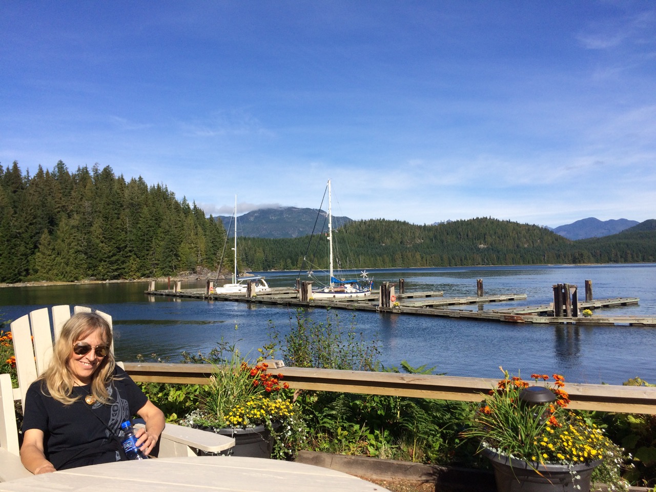
 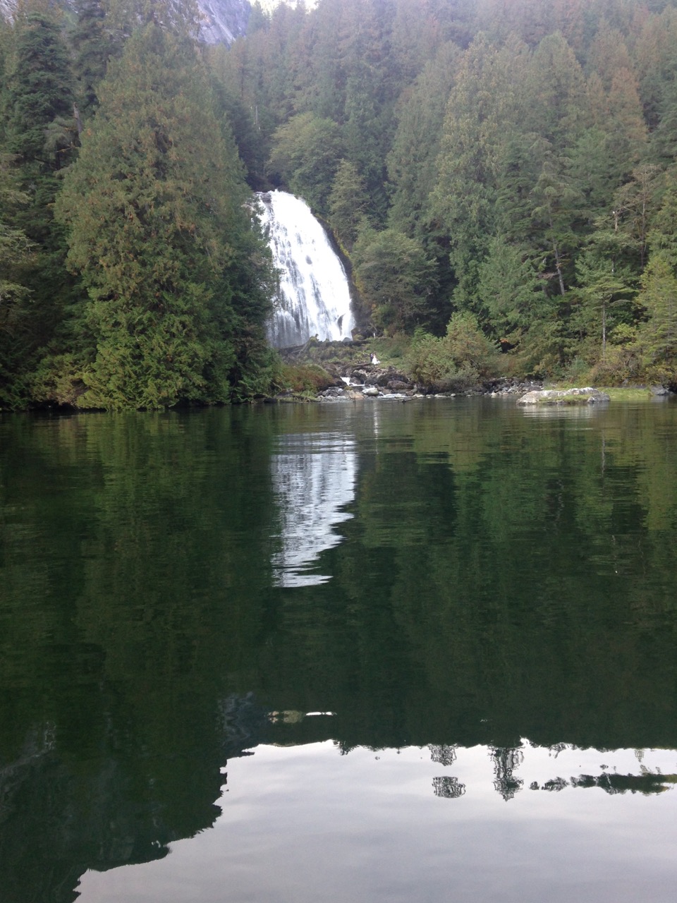 We found space on a public dock maintained by the park authorities. I’m not used to having to moor next to planes but I just treated it like a boat and all went well
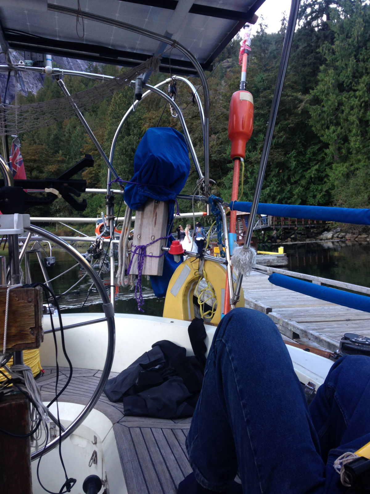
 The small float plane had just arrived with a bride and groom and photographer for some wedding shots in front of the waterfall, after those shots they pranced around on the pontoon for ages before shooting off in the plane. Watching the plane go round and round in circles to gain enough height to clear the mountains made me realise just how high these granite walls reached.
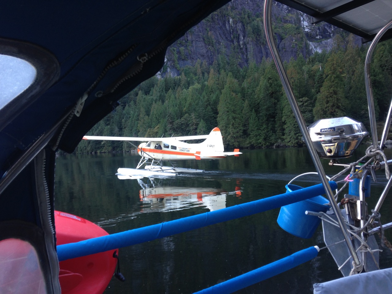
 The next day a big motor launch $4.5Million dollars worth, arrived and I helped the skipper by taking his stern lines, we chatted and he had seen my “Liverpool” reg on the hull and explained his guests on the boat were two ladies from the UK, so later we were surprised when two giggly northern women turned up, banging on our hull and insisting we join them for drinks on the mega yacht, one of them was from Preston, the other frm Nottingham. We had a nice time chatting with them and a few other guests on the boat, a very luxurious affair, I noted the kitchen was way better than my own, and I’m talking about the one in my house!
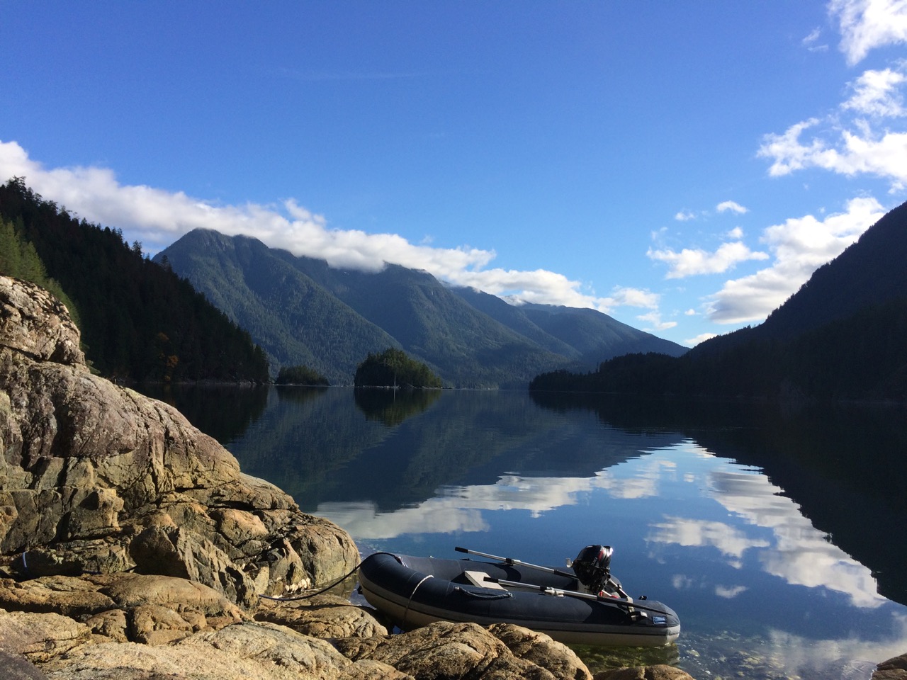
 Today we left Princess Louisa Inlet early to pass the rapids at slack water, this time at low tide, making the channel even narrower. On the way out we saw some new waterfalls that had been dry on the way in.
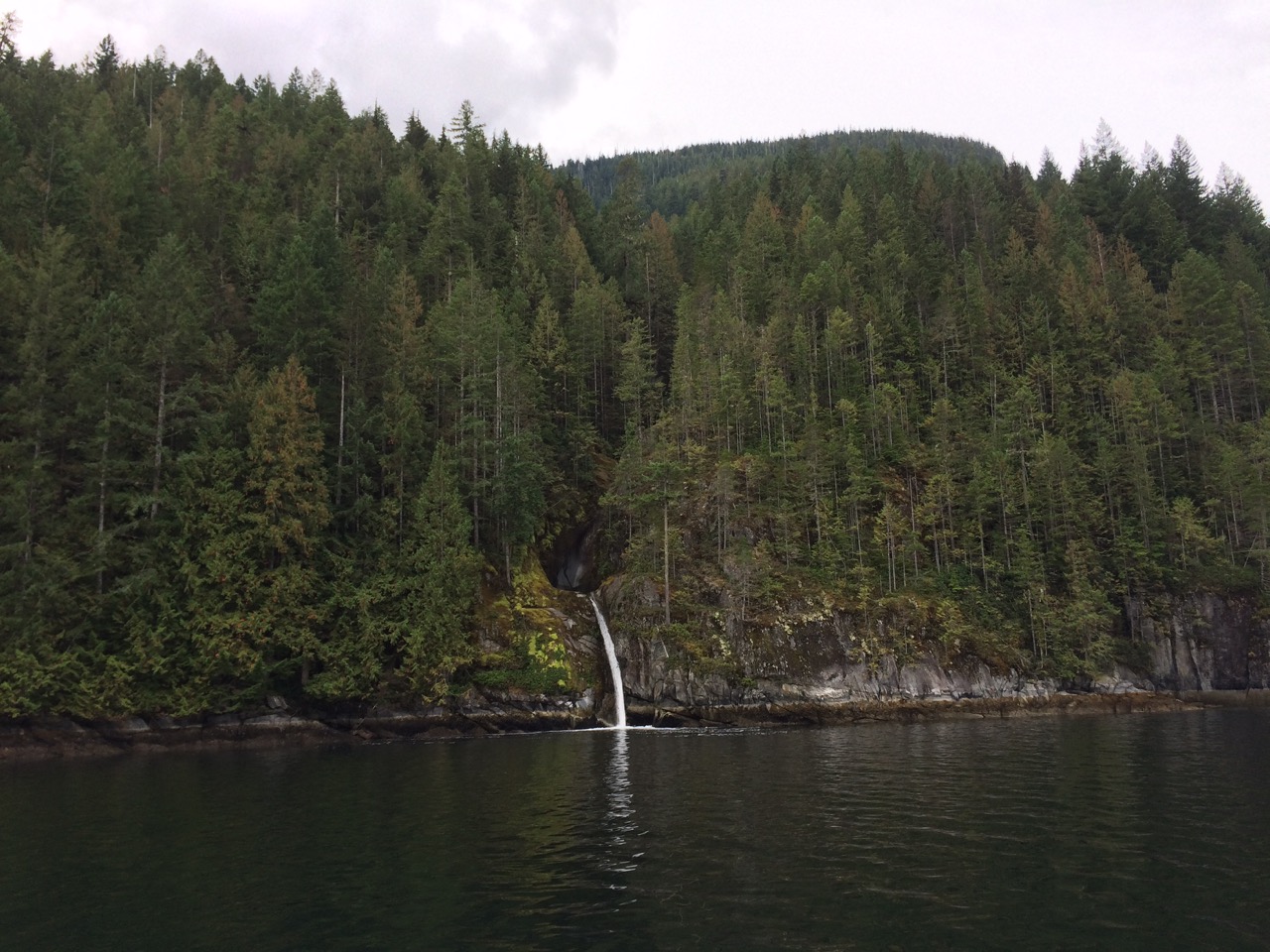
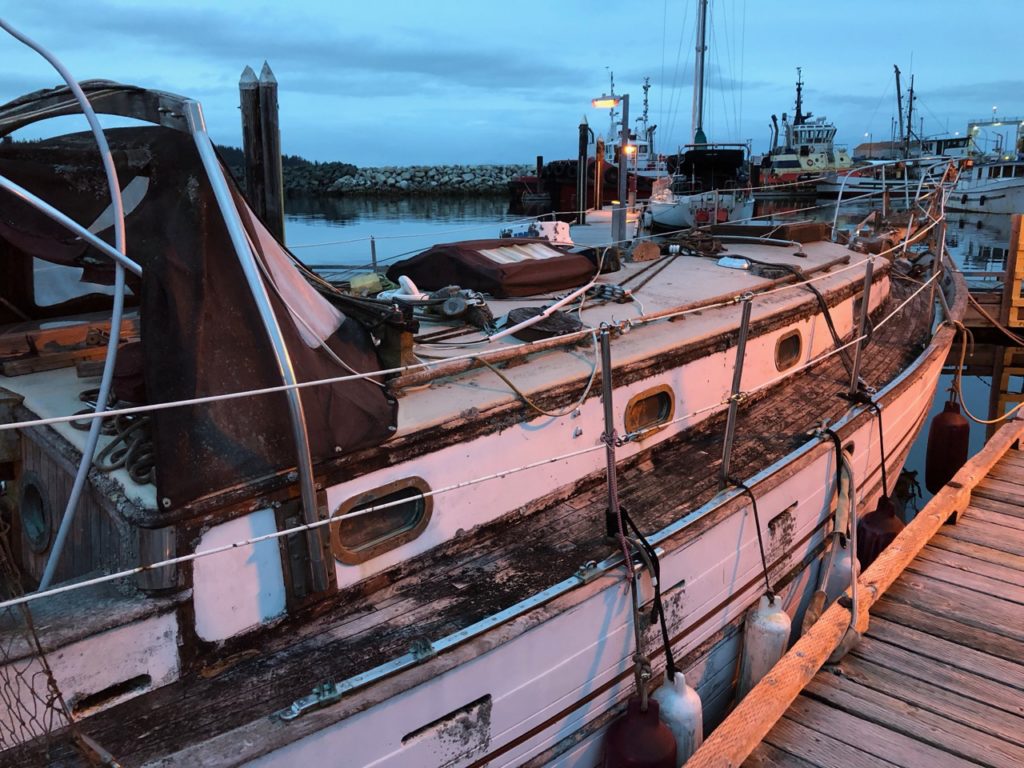
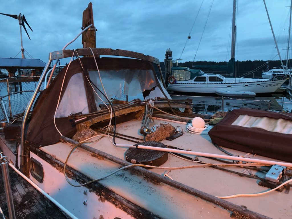
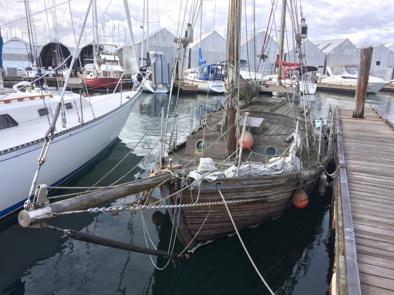
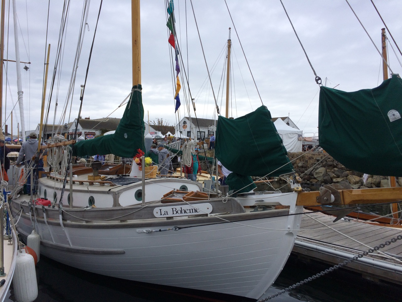 “La Boheme is one in a series of William Atkin designed double-enders. This one is the Eric. Modeled after Norwegian rescue boats at the turn of the century, the Eric is said to be “the best boat for the worst weather”. La Boheme’s keel was laid in 1926. She was completed and launched in 1938 out of Victoria, BC and has plied the waters of the North West ever since. Constructed of Port Orford cedar on oak frames, La Boheme is stout, sea-kindly and extremely comfortable as cruiser.”
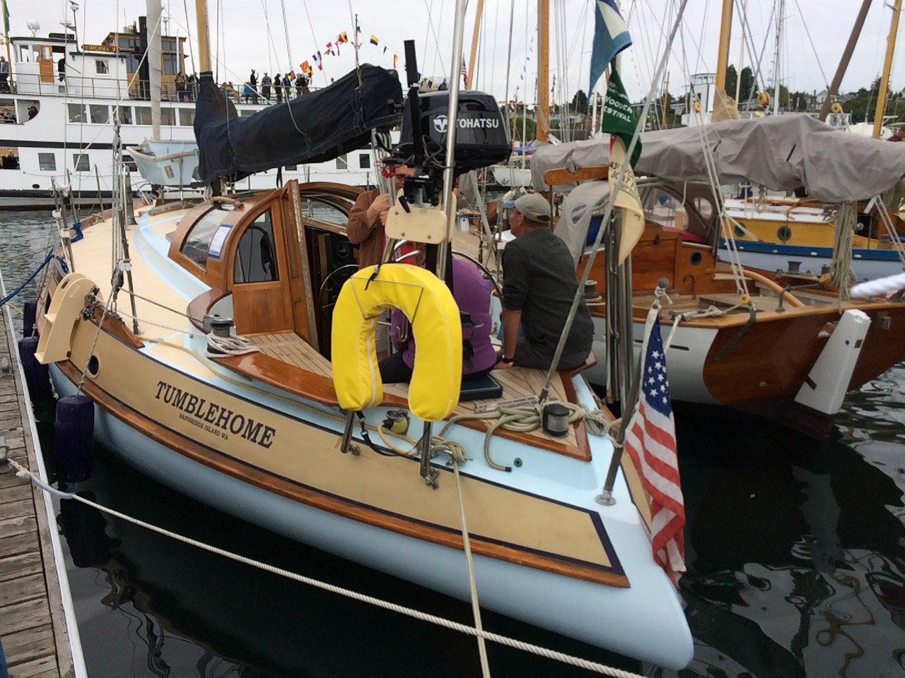 One for Taffy.
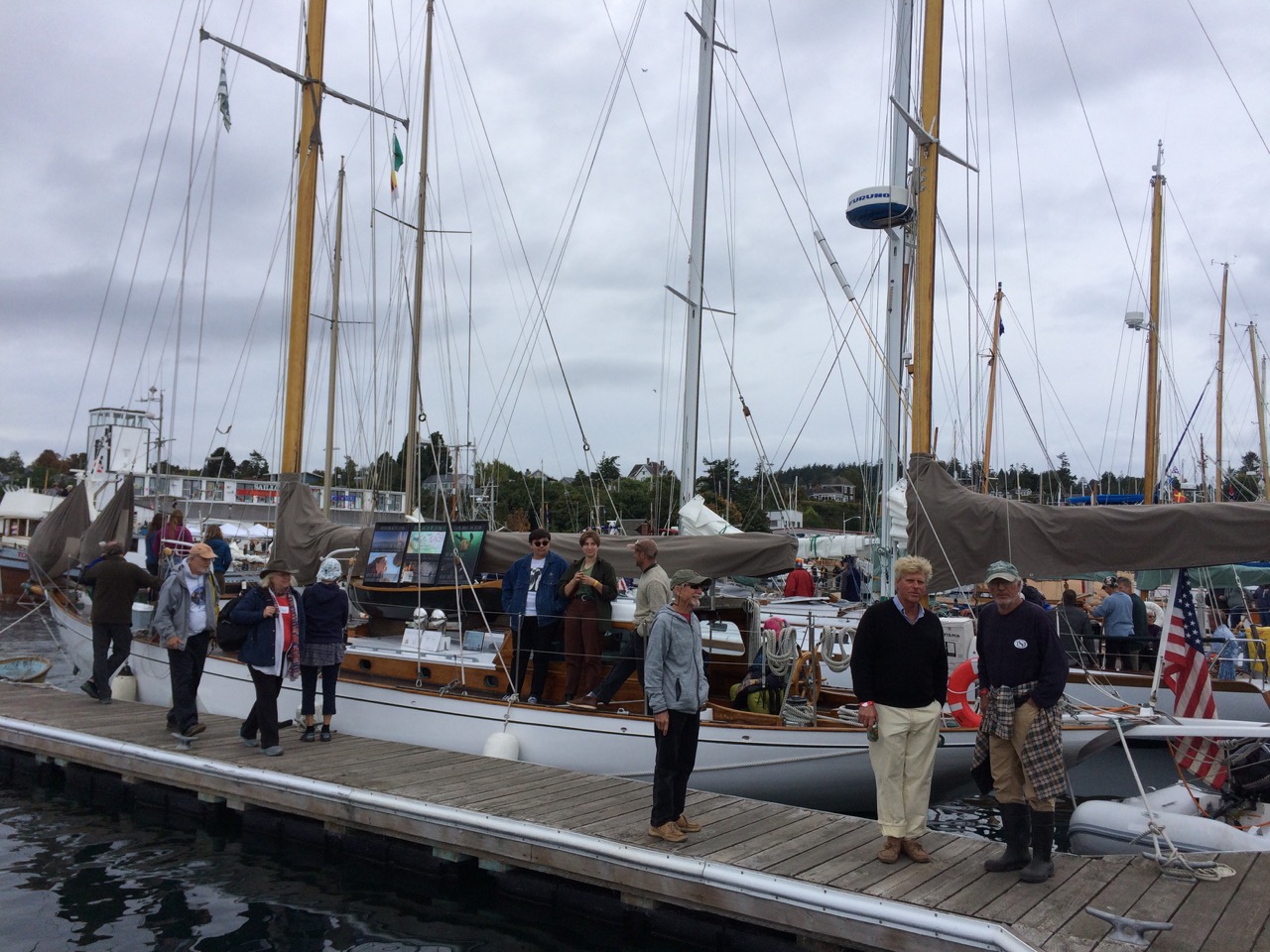
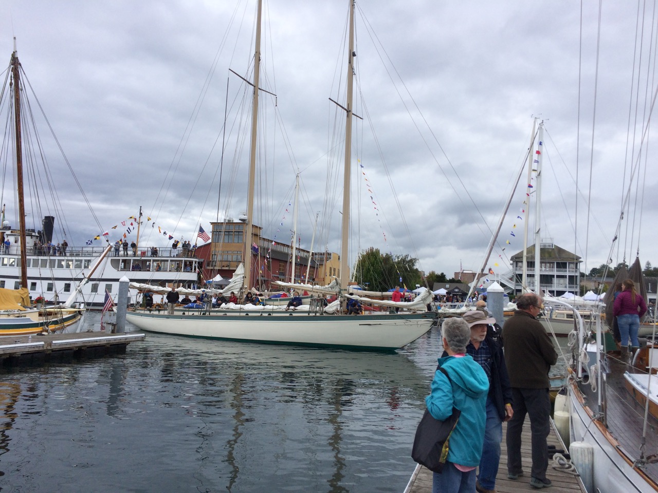
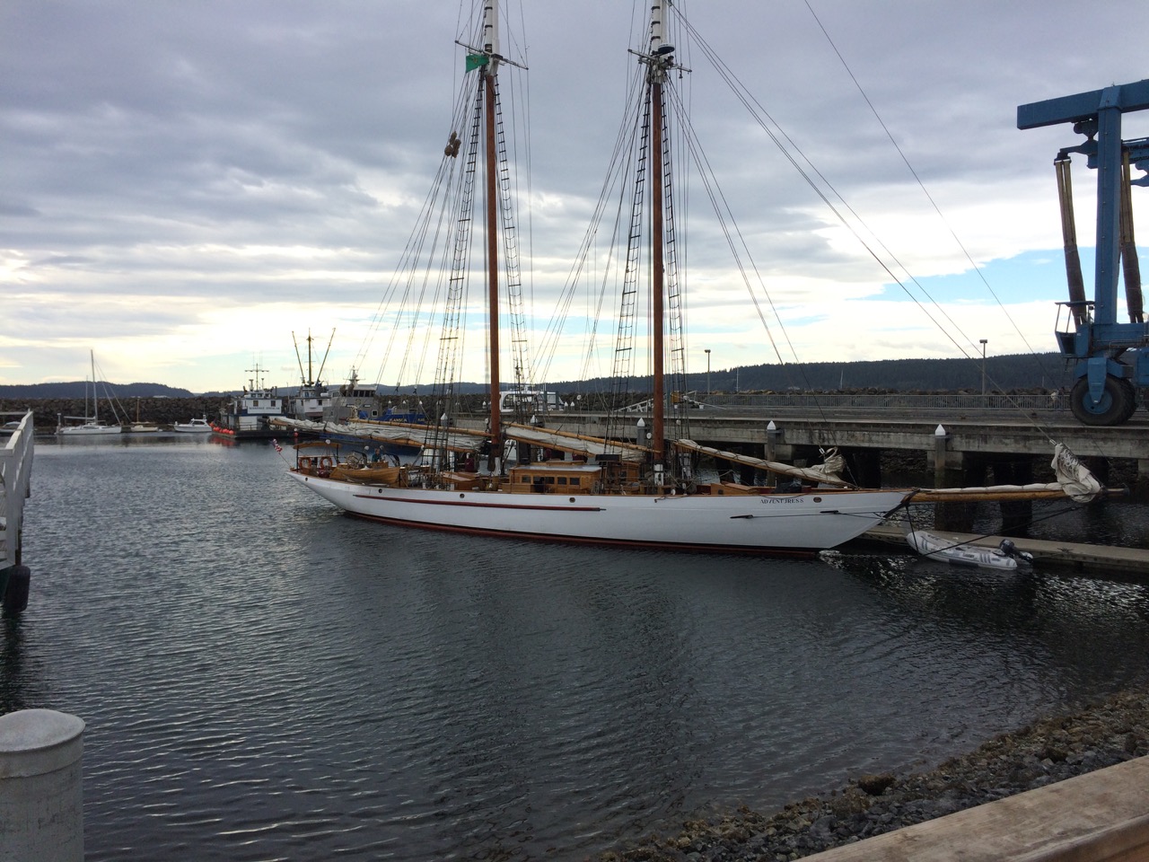
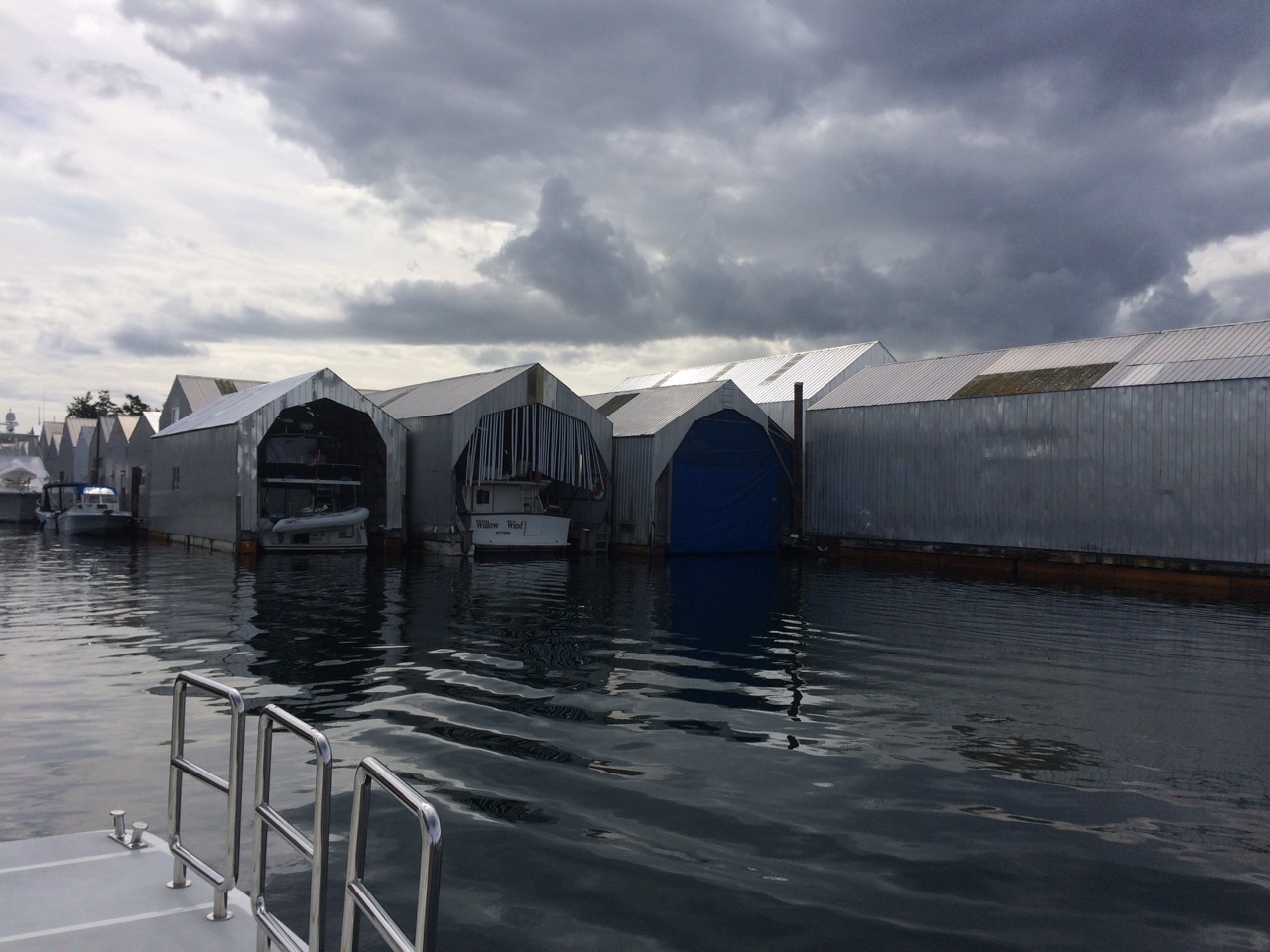
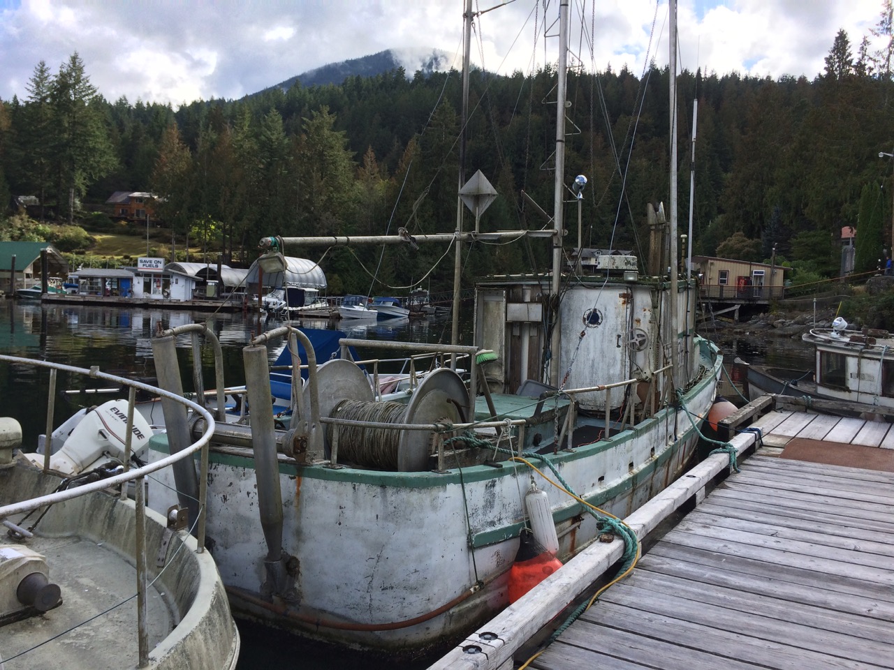
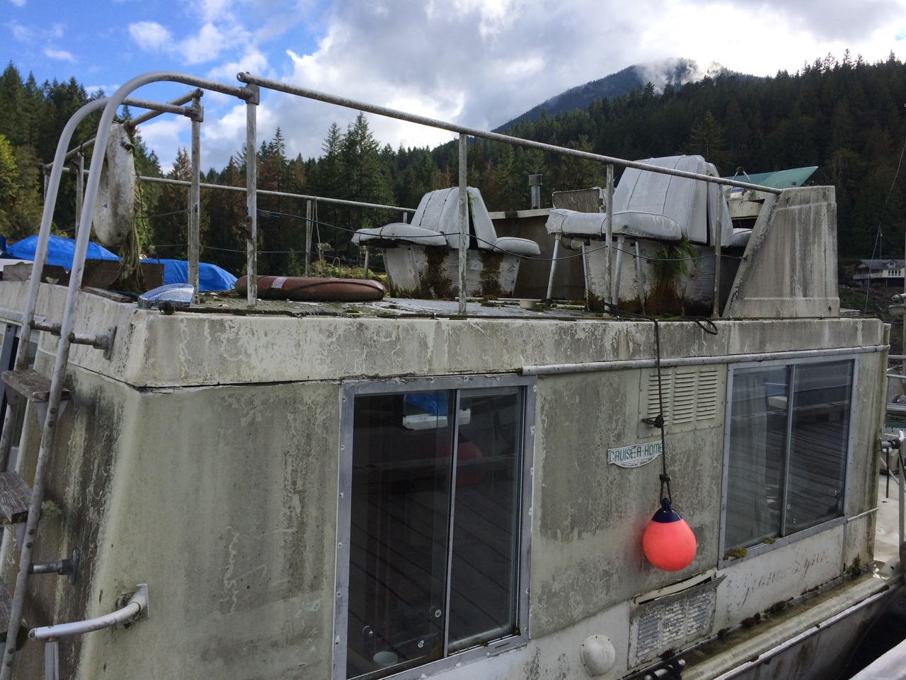
 Boats like this one above are scattered around the yard, this is an old classic cruise ship. One morning I looked up after hearing some swishing of the water next to us to see this yacht (below) passing by. A fairly common sight here. I think I will bring the boat back here next year to do any big jobs like the mast refurb I’m thinking of.