On Tuesday morning we were just relaxing a little before we left Tarempa for the last time, when we heard a groaning/growling sound from the bow, I now recognise this as the chain dragging over rock. After all our anchor woes, I really didn’t want to be stuck in rock again, and we shouldn’t be, as we are a distance offshore and anchored in sand.
I ran up on deck, and noticed the wind had swung to the west, pushing us towards the shore, and we were again over the reef, in about 8 metres depth. So I guessed as the wind slacked, the chain fell onto the rock. I winched us in, bringing up about ten metres of chain to get us away from the shore, but then the chain jammed, it was hooked on some rock. “Not my day today”, I muttered to Kathy as I came below to reset the windlass power trip, which had tripped under the strain of the chain trapped under the rock.
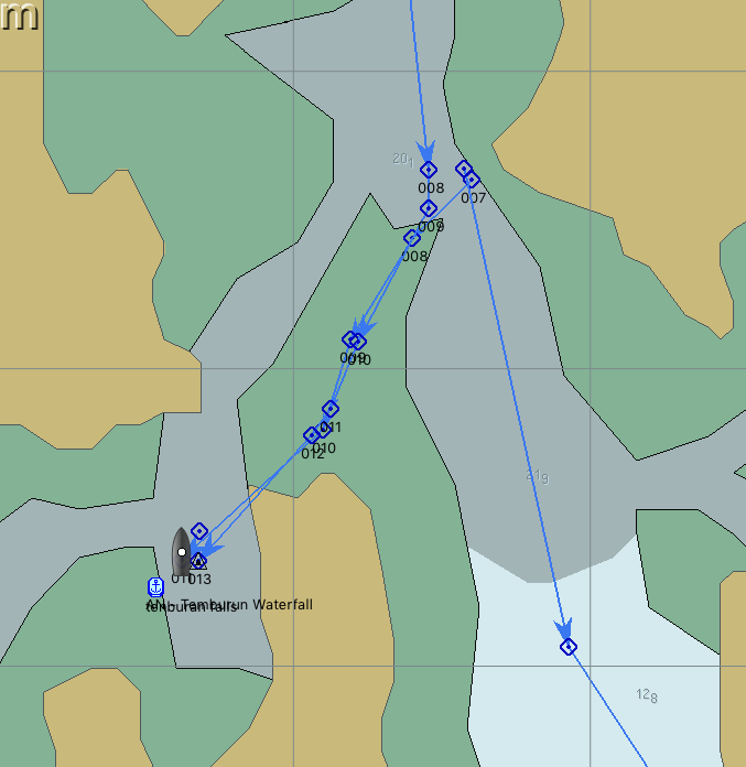
Back on deck, I released 10 metres of chain, went to the helm, and could see on the chart plotter track, we had done a big clockwise circle to get to where we were, so hard to starboard, and off we went, there was no resistance that I could tell, and the boat headed off, past where the rock might have been, and into deeper water. Back to the windlass, and I pulled up 20 metres of chain, checked we were back in deep water, and returned to the relaxing mode, feeling smug that I had one over on the rock, Rocks 2: Sister Midnight 1:
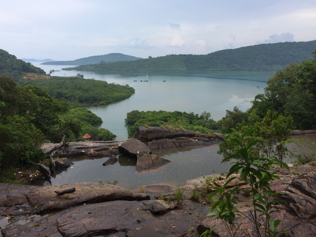
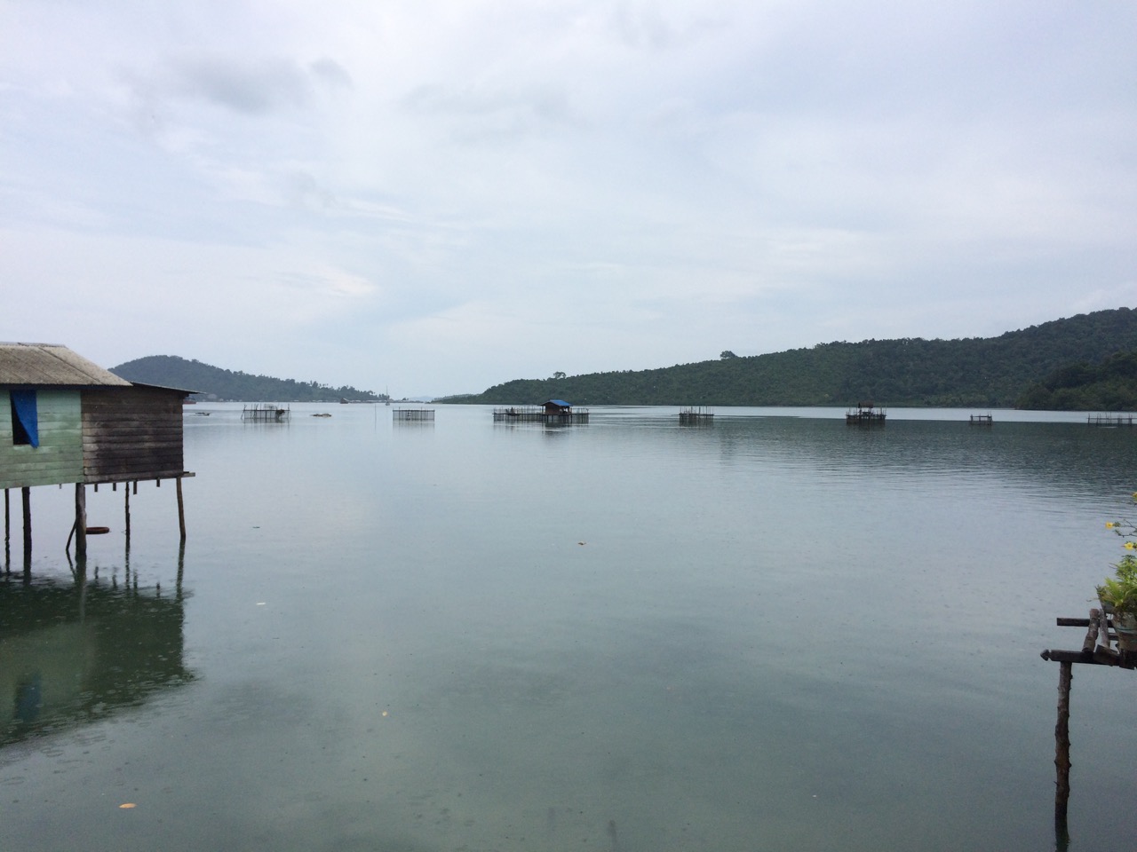
An hour later, we headed off to spend a night or two at the waterfall bay in Temburun. This is a small village at the end of a winding cove.
This was worrying Kathy as it’s a complicated journey, not far, just 7 miles or so, but most of the journey is between shallow rocky reefs, which twist and turn. The charts are no use here, because they are out so much you would certainly be on the reef if you followed them. 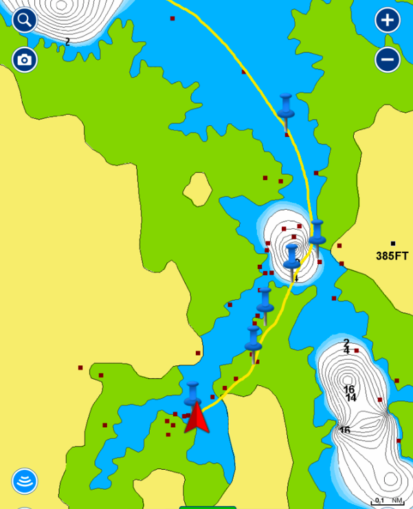
 So we overlay google maps images over the charts, these are spot on, and you can actually see the reef clearly on the images.
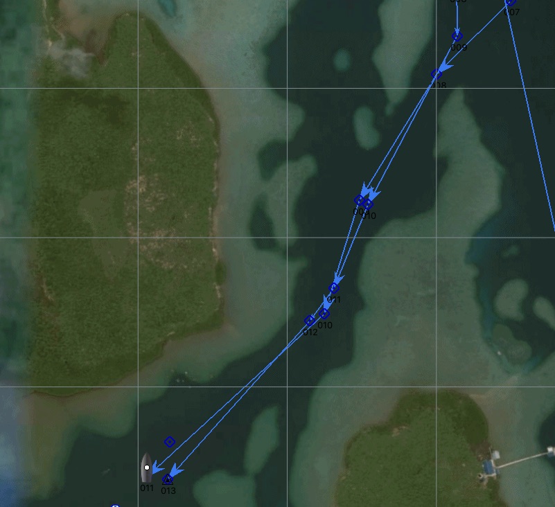 Also we had waypoints from others who had made the journey before, so I wasn’t too worried. As it turned out, besides the software continually crashing, or not picking up the GPS data, it went well. the reef was easy to see.
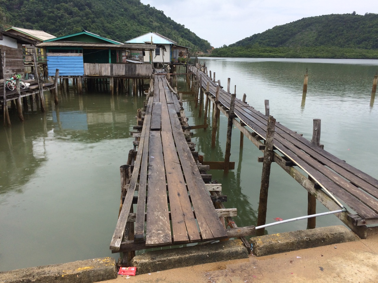
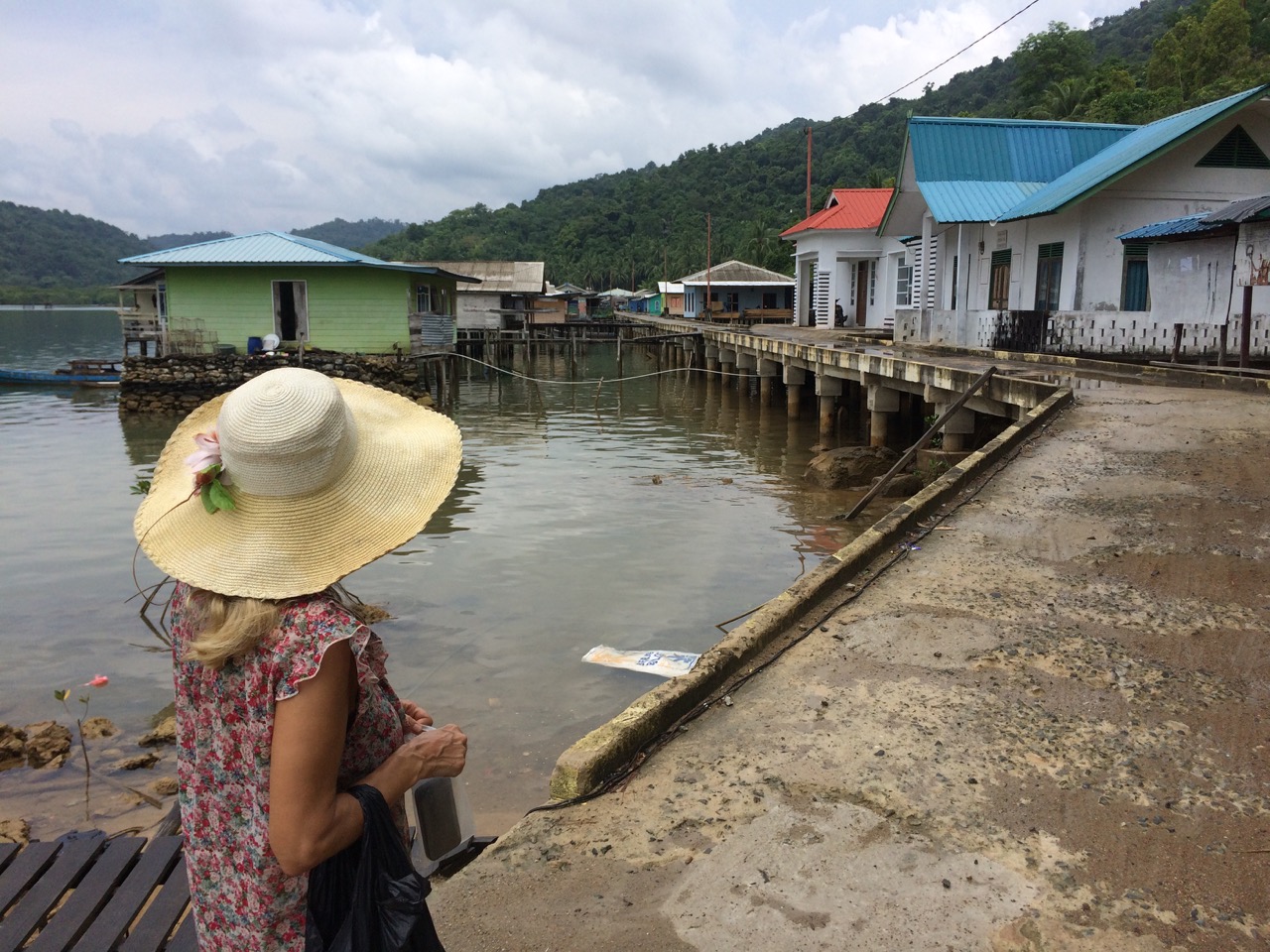
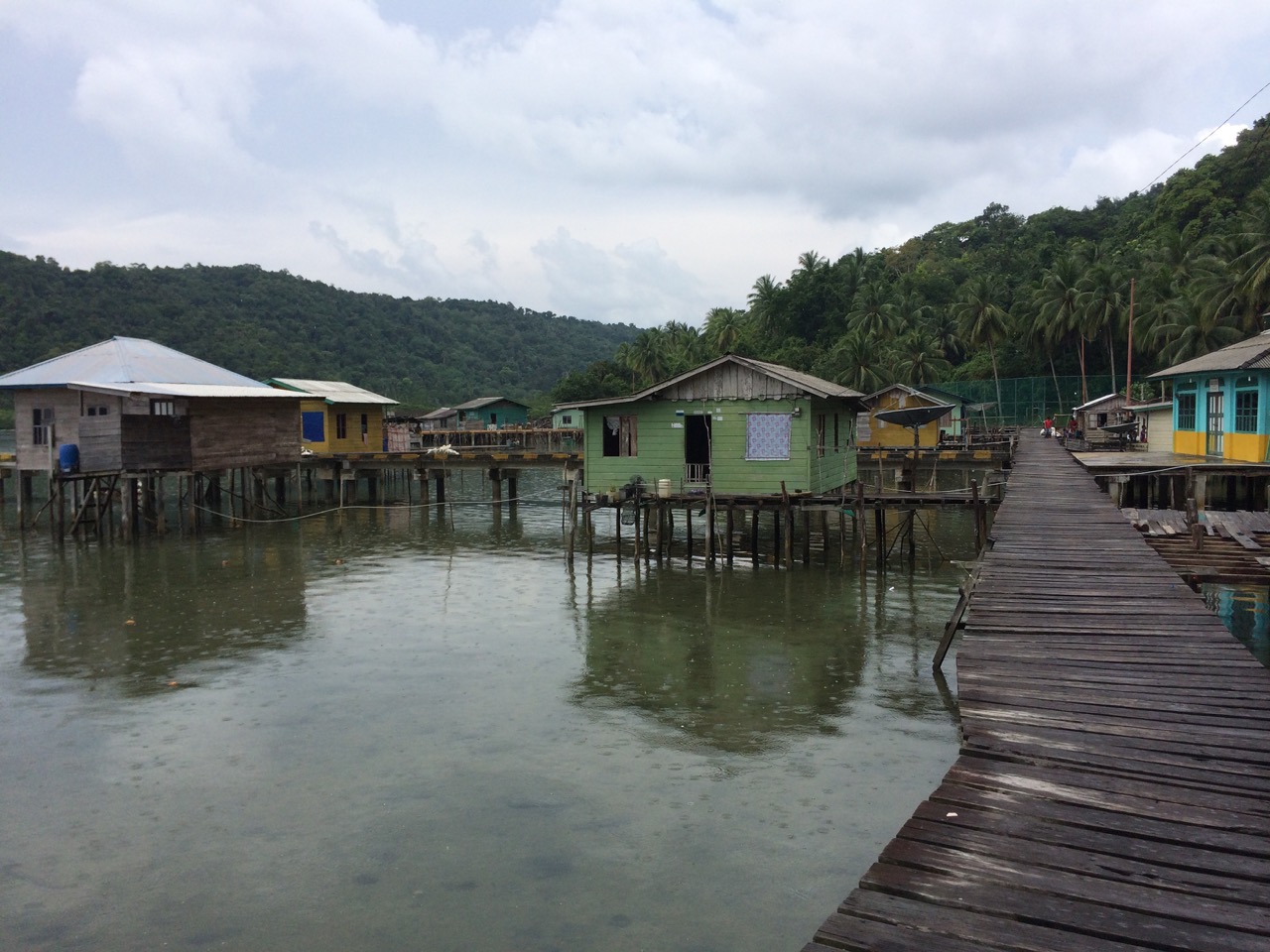
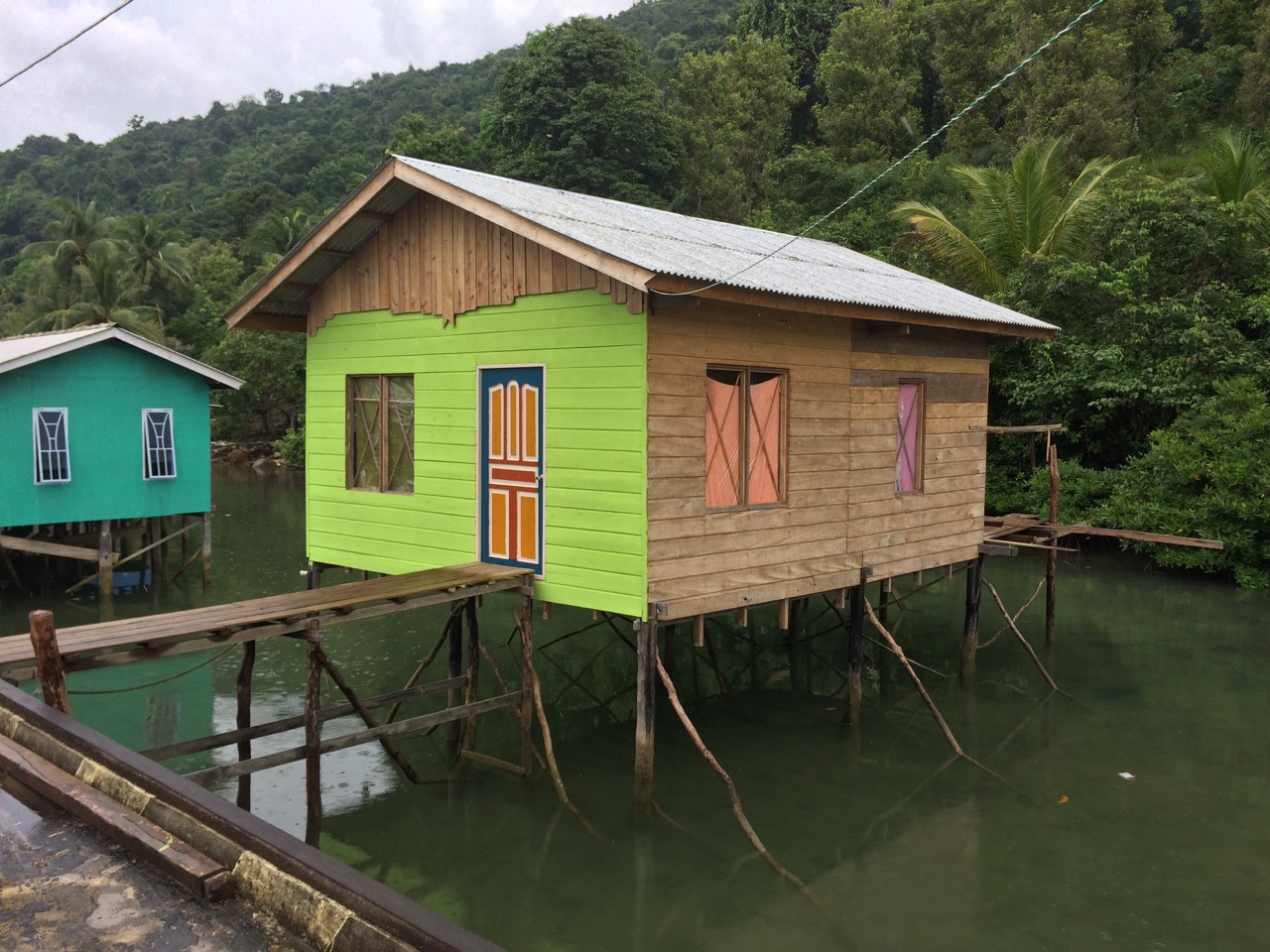
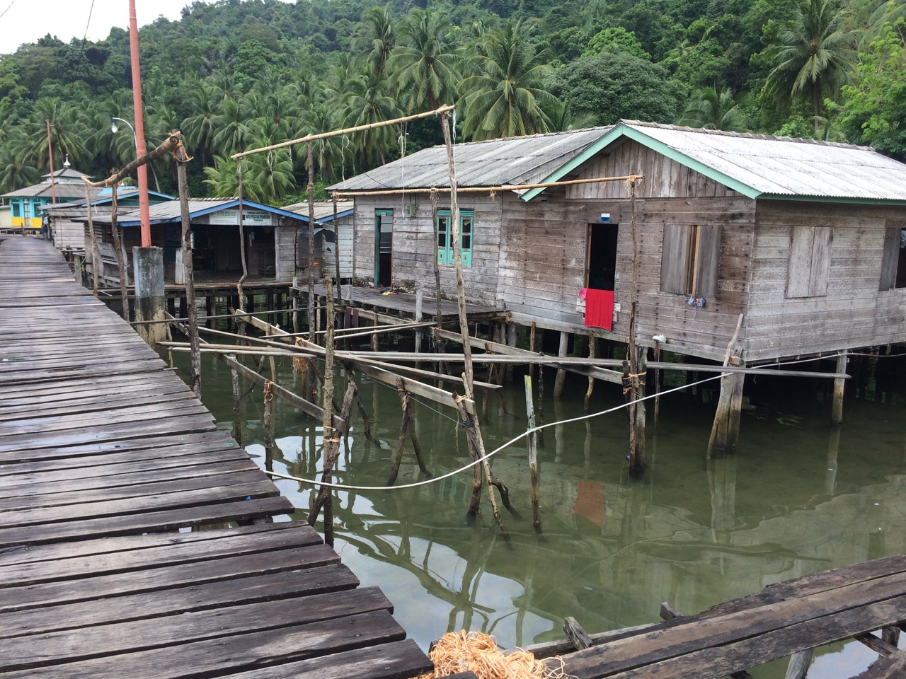
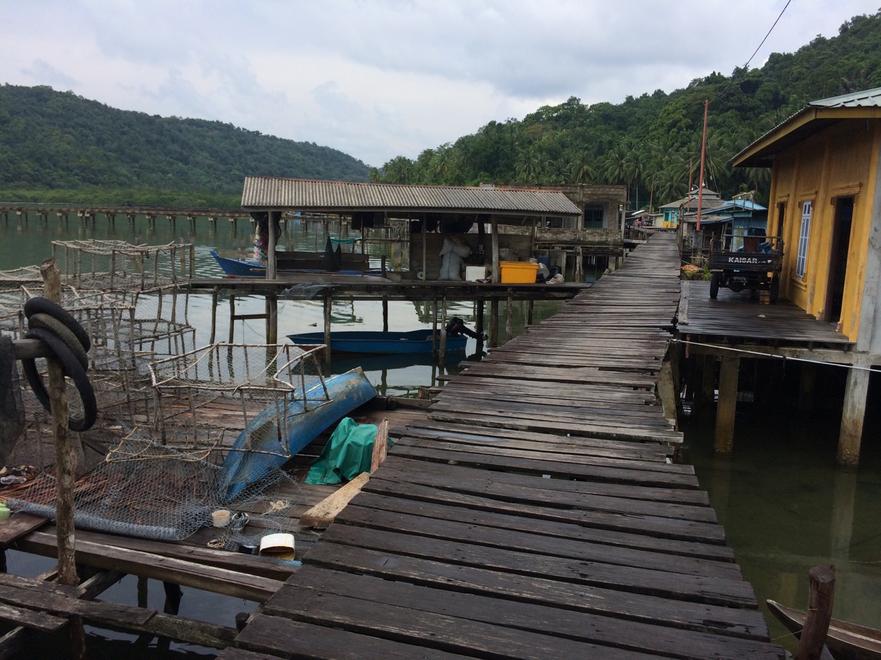
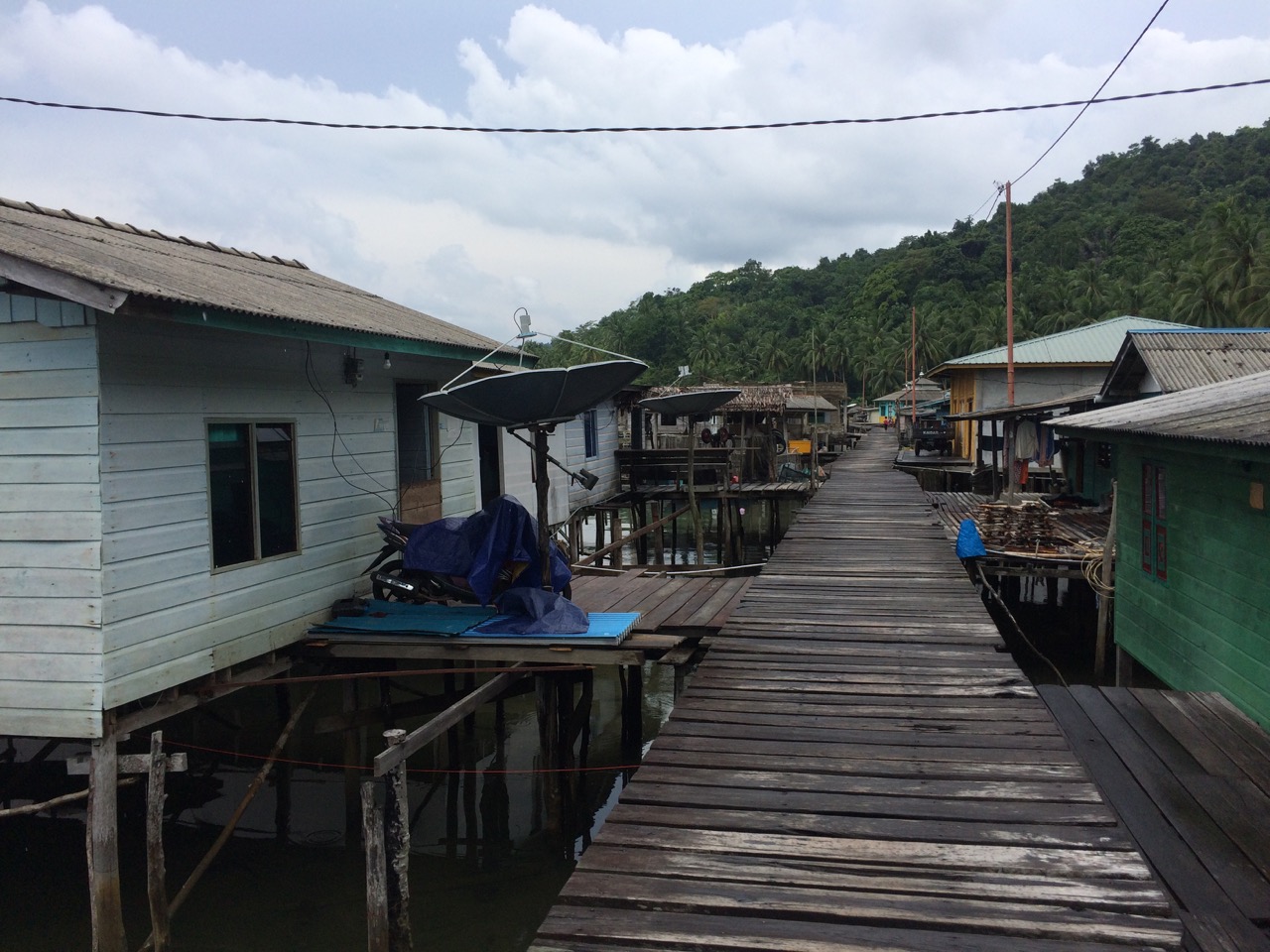
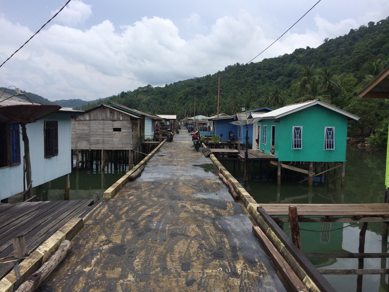
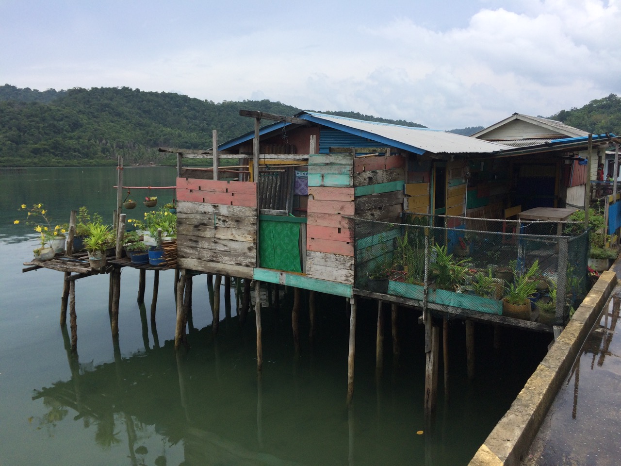
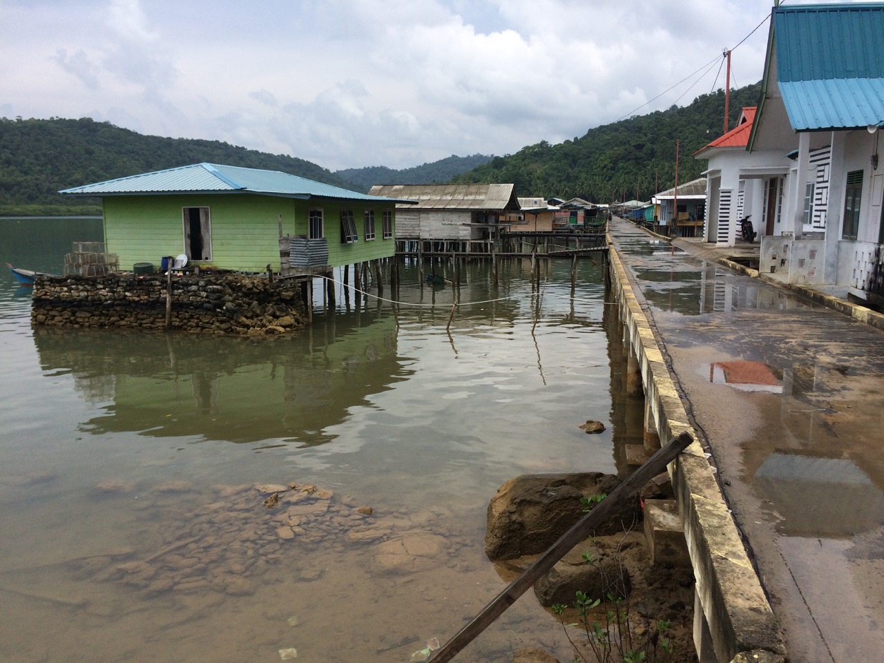
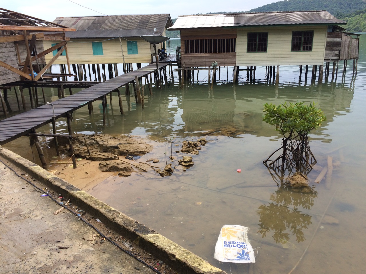
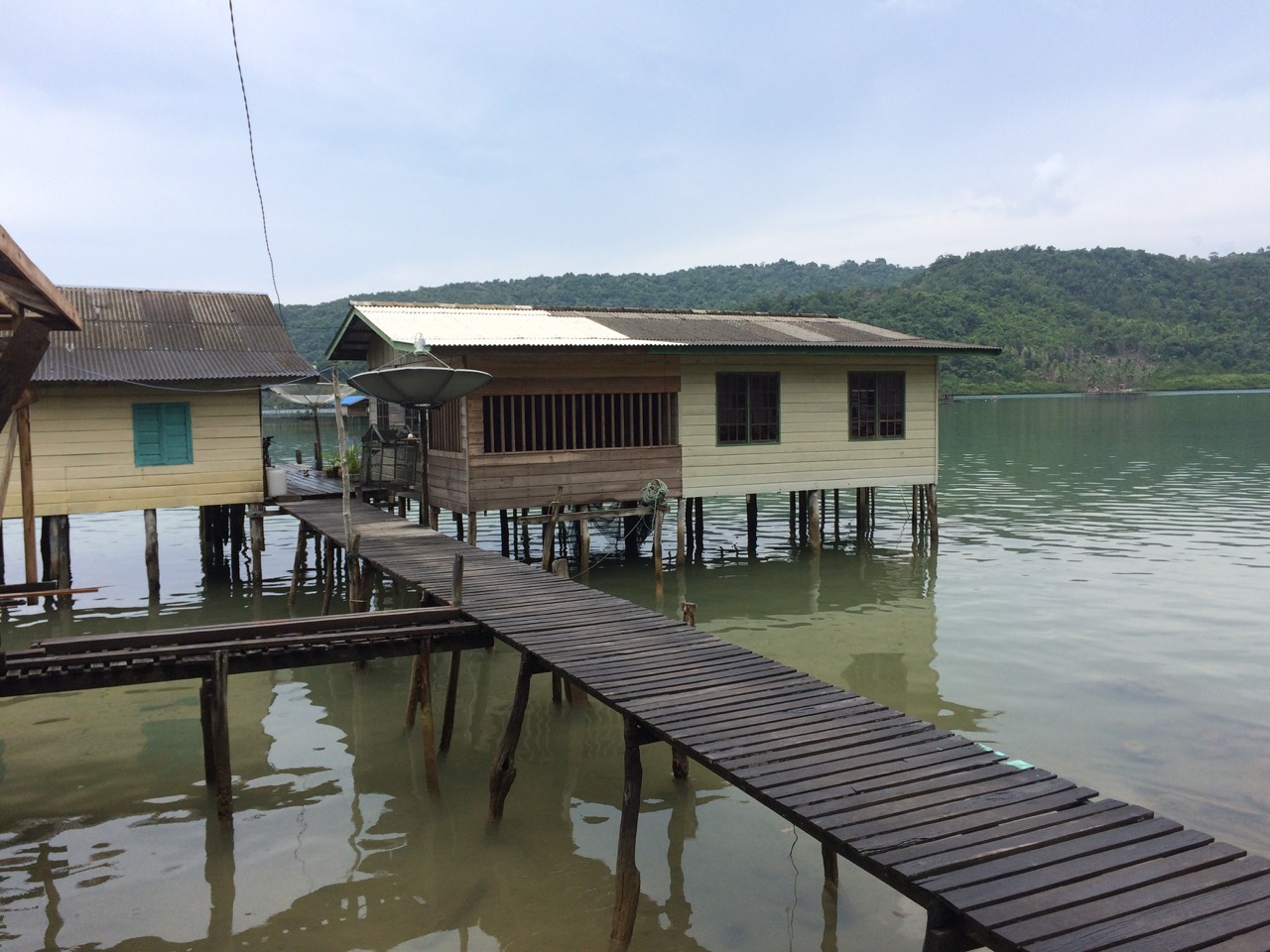
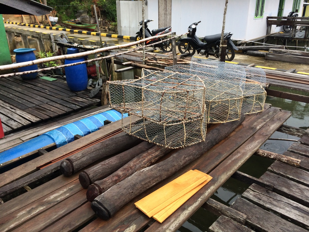
The village in Temburun is typical of many here, it’s a road built on stilts at the side of a steep hill that is too steep to build on, off the road are houses built on stilts. It runs for maybe a mile along the coast, and has a couple of shops, and a public jetty for the residents. Everything is basic, but they have everything they need, water, electricity and a 3g signal, sometimes.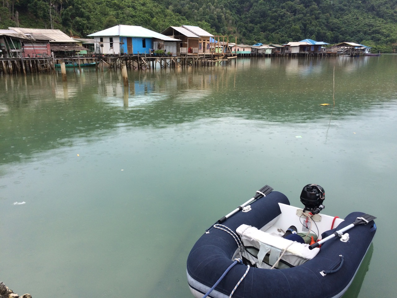
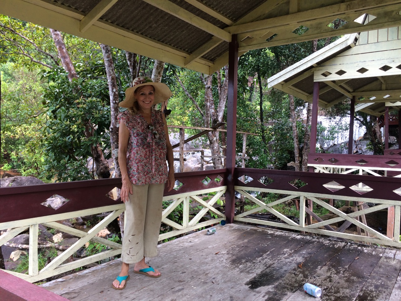
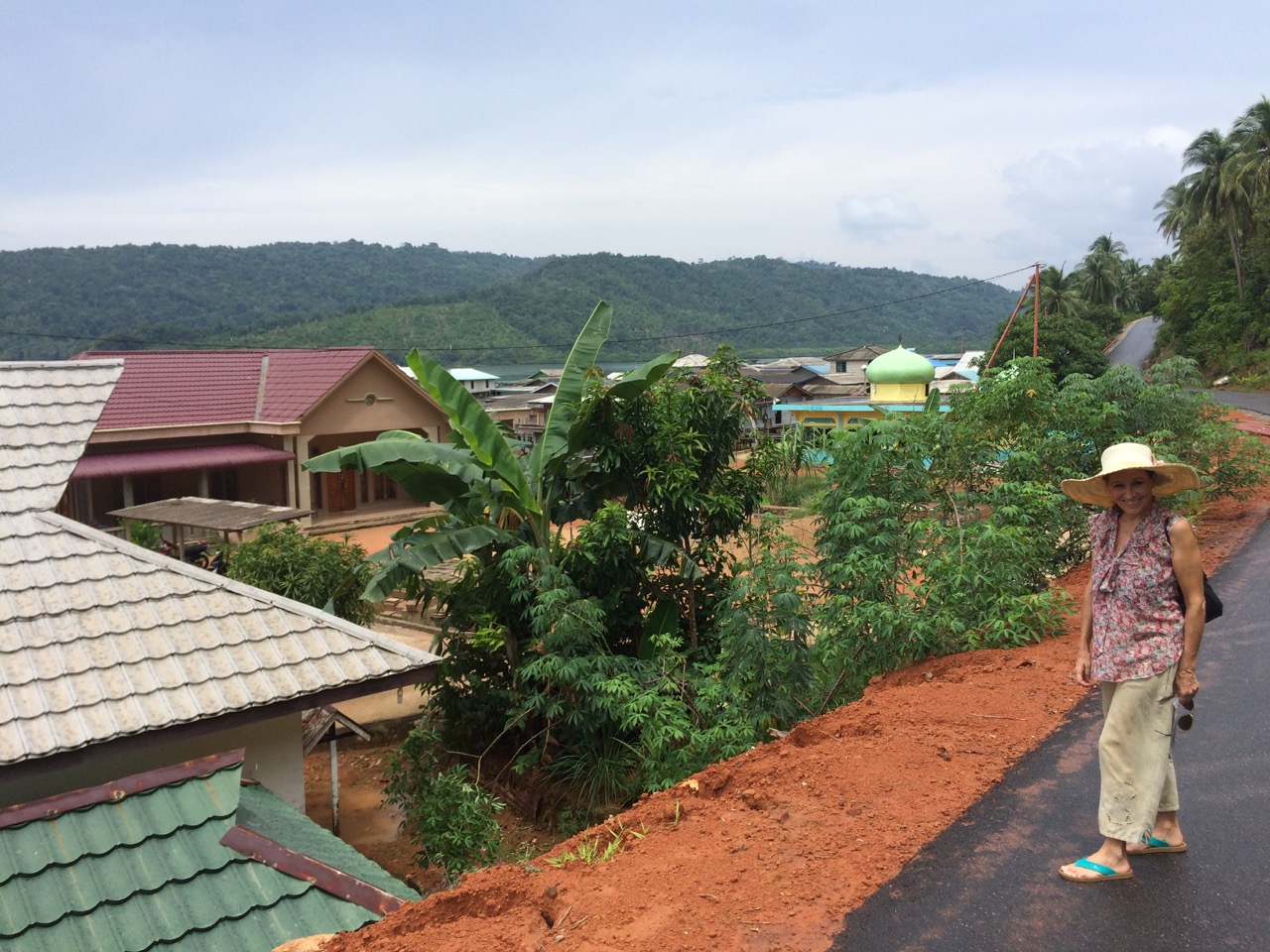
 Our reason for visiting was to see the waterfall, which is claimed to be one of the areas main attractions, It’s certainly a big waterfall, and when we visited had plenty of water flowing, but the path up, and the visitor area is terribly dilapidated, and deserted / overgrown.
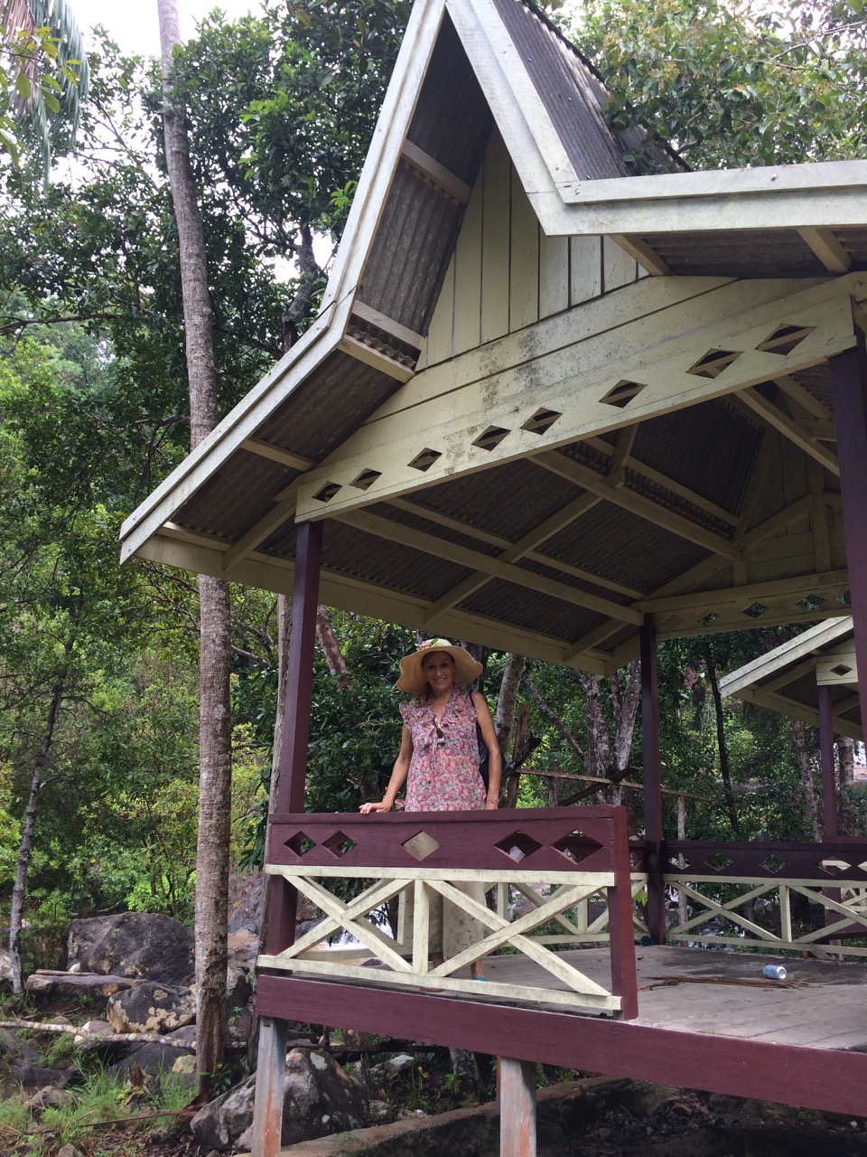
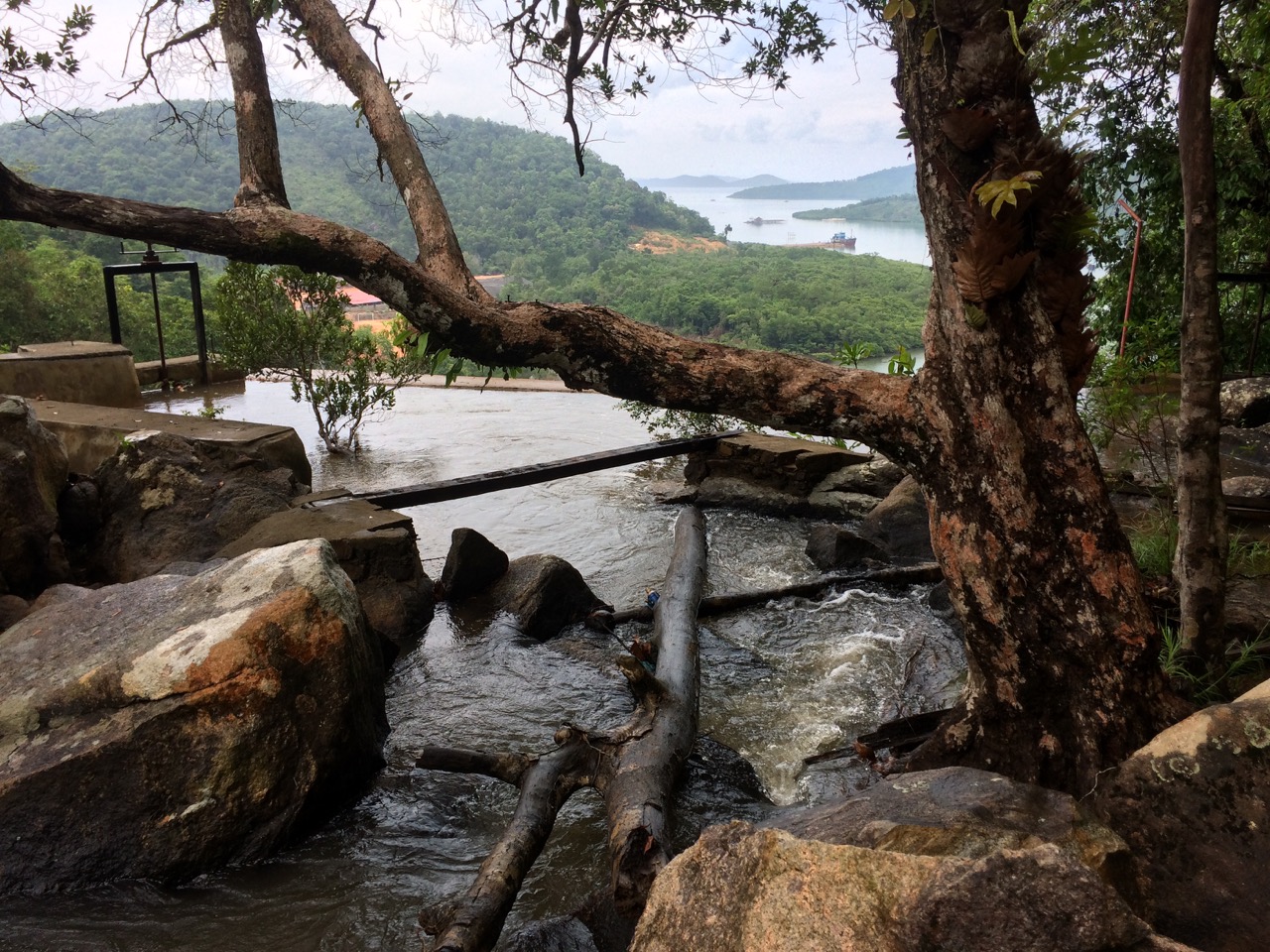
 We only made it halfway up the hill. However it was worth the walk, the view was wonderful, and seeing Sister Midnight sitting at anchor a long way away made me realise how comfortable I had now become about anchoring and getting the boat to hold.
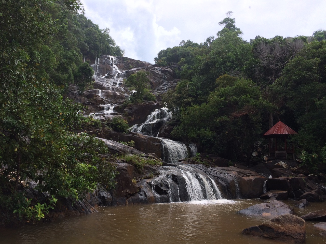
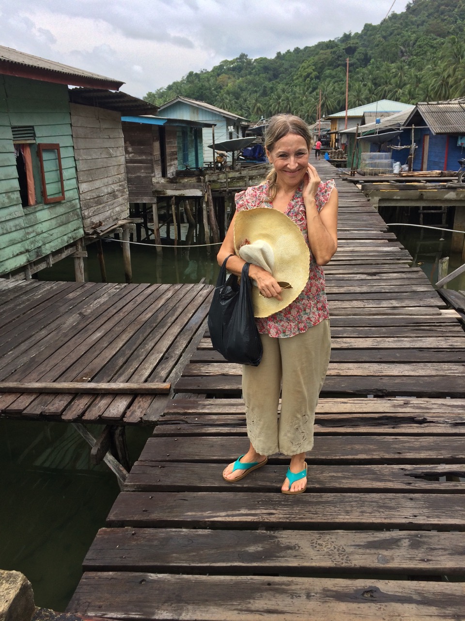
 On our way back to the dinghy we had a walk through the village and along the way the local people, especially the kids were very keen to say hello, or ‘hello mister, how are you’ and to make us feel welcome.
We are making use of the fact this may be our last internet connection for 10 or more days, as that is how long it will take for us to meander over to Malaysia.
On Friday we hope to be in the lagoon at Pulau Bawah, I nicked this pic from the internet.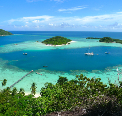 After that 3-5 days sailing the 250 miles east towards Kuching in Sarawak, there are a couple of islands we can stop at on the way, but we may just slog on through the night(s) to get there quicker.
Paul Collister