8th November 2019 , Mexico at last!
I never feel like I can relax in a new country until we have cleared customs/immigration and port control/harbourmaster. Fortunately we had Victor, the marina manager to help us. Victor is a lovely cheery chappy, he went through all the paperwork we would need, made all the copies required, and then walked us to an ATM where we could get the required Pesos out for the visas and boat permits. As he escorted us across town to the relevant office he pointed out places to eat and other useful stores. Once there Victor did all the leg work and we just had to stand there, smiling and signing forms for the relevant officers. It turned out to be very easy, perhaps not the cheapest country to visit by boat. But we were soon signed in with a 6 month visa each and a ten year pass for the boat. Later we would buy fishing licenses and nature reserve passes.
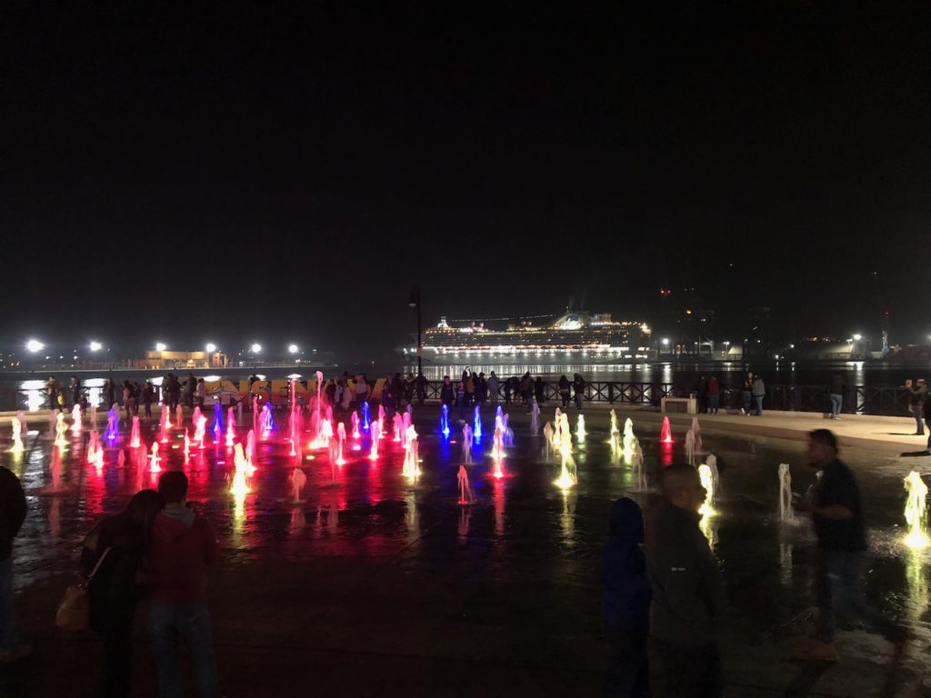
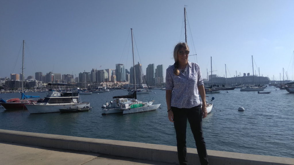
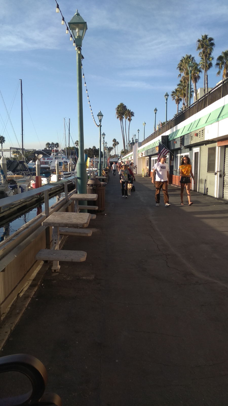
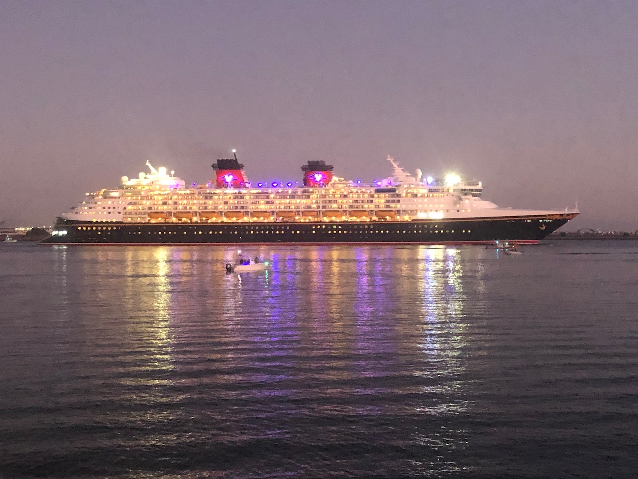
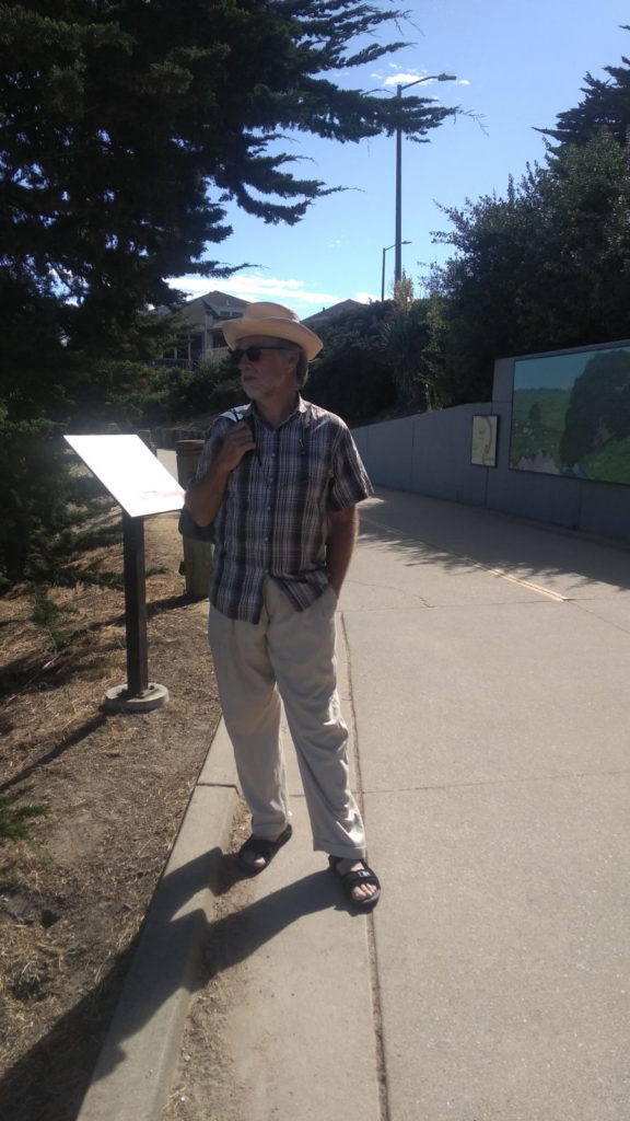
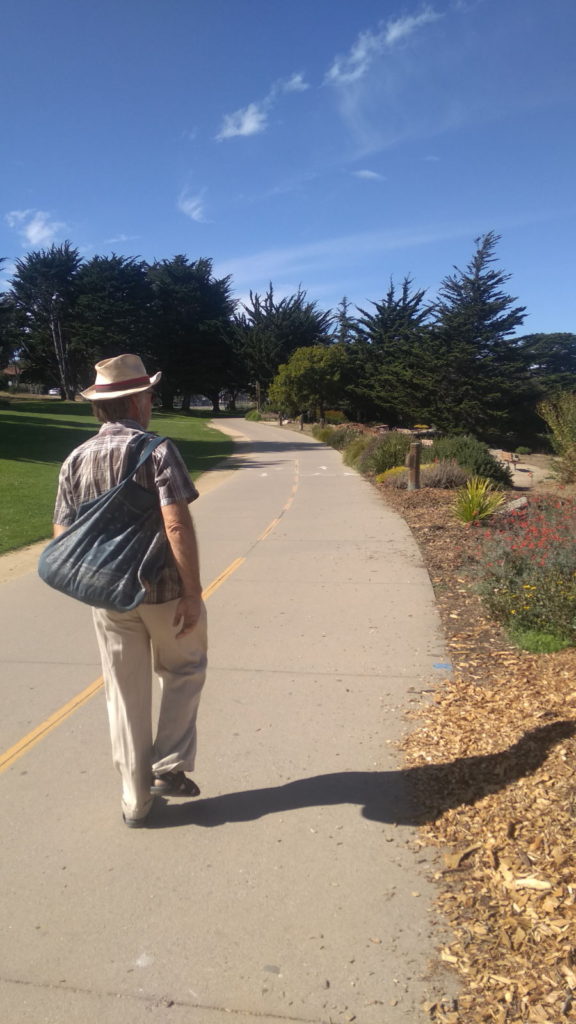
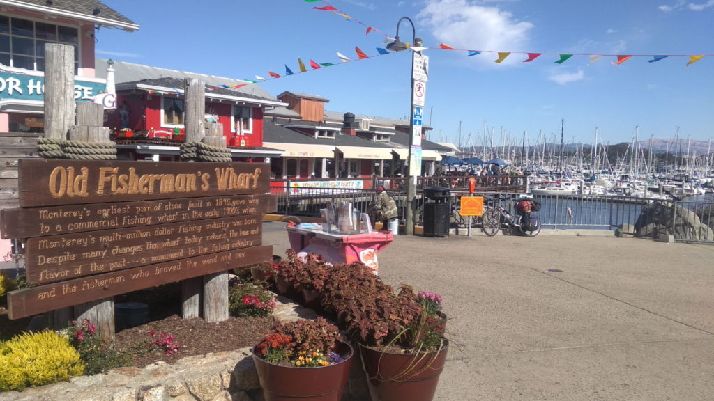
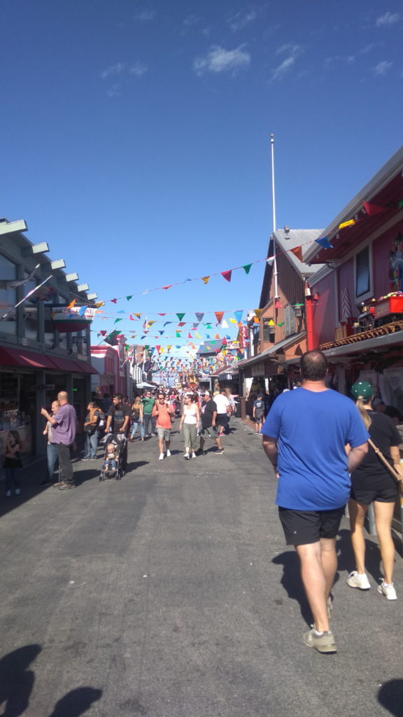
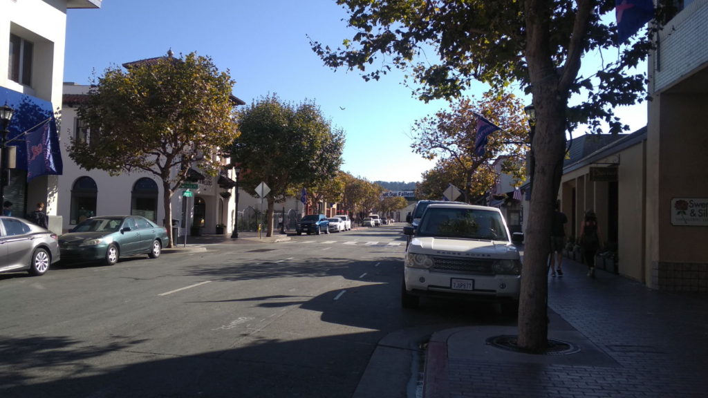
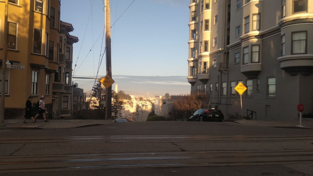
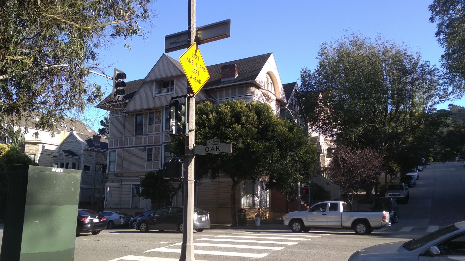
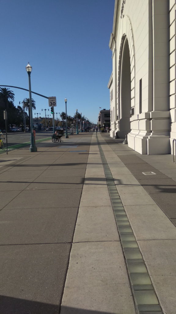
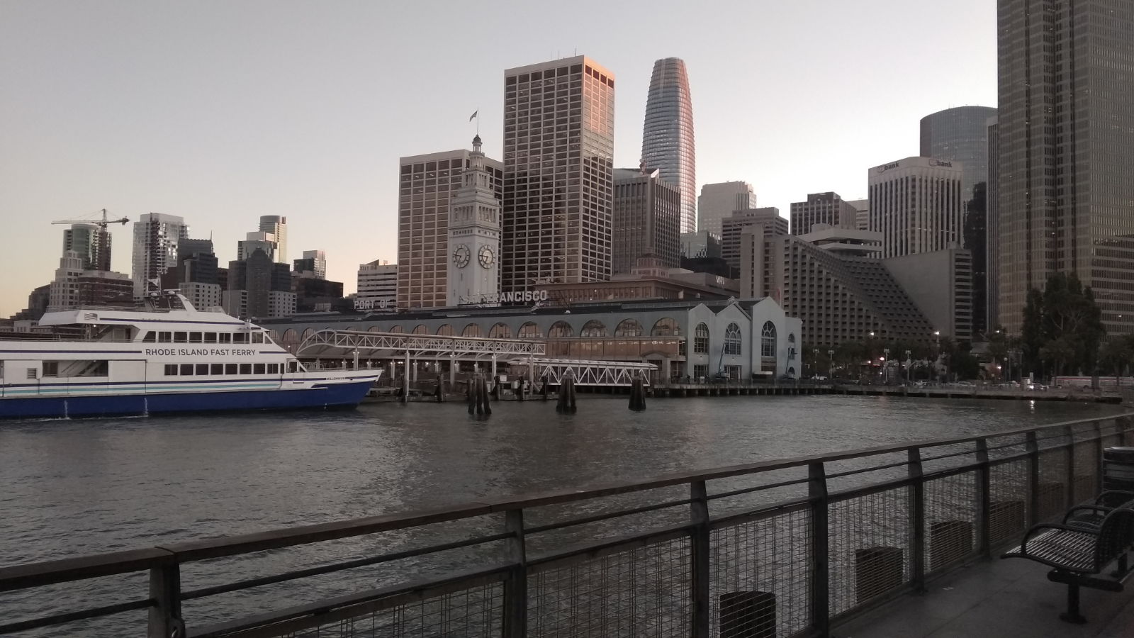
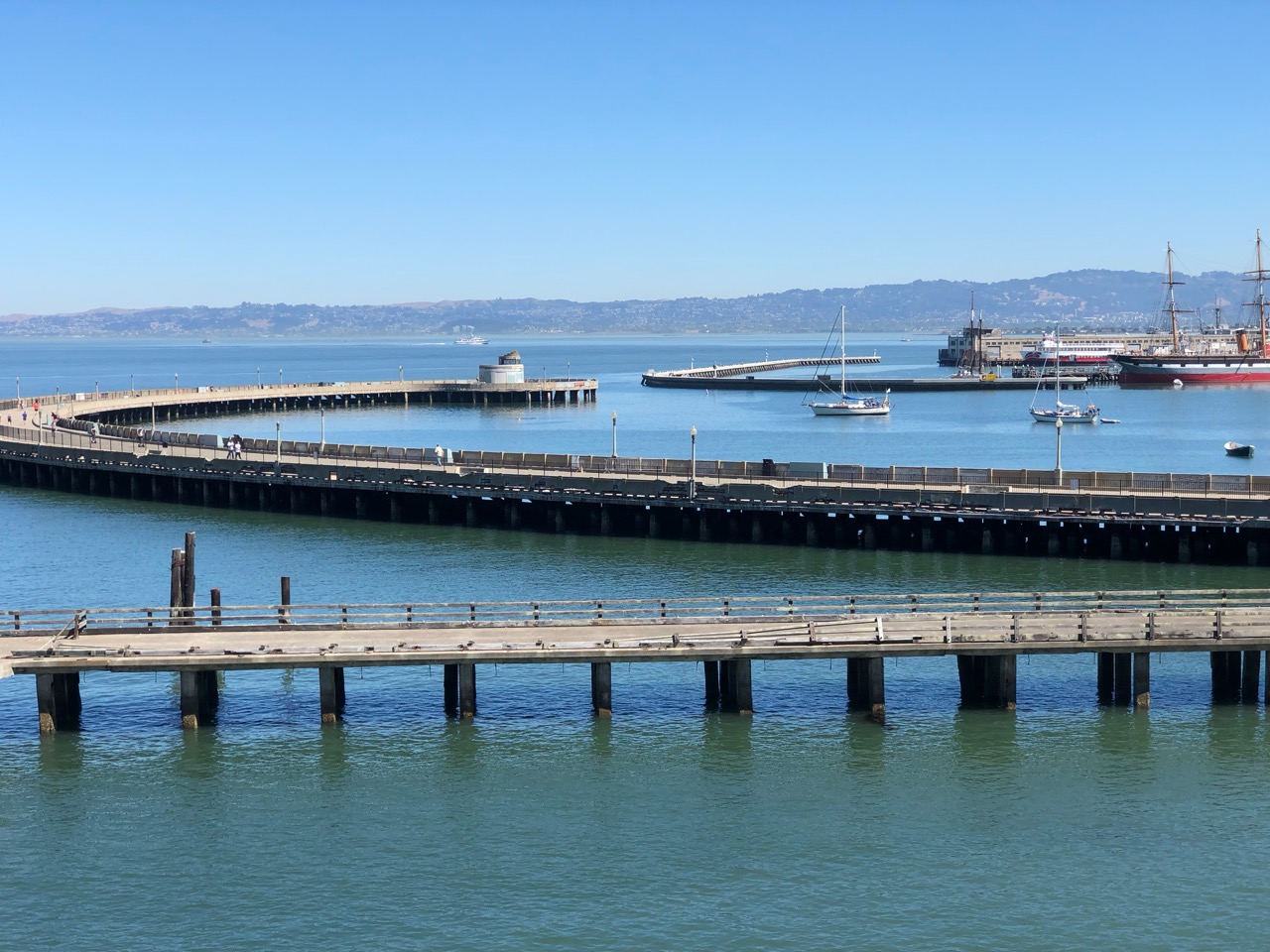
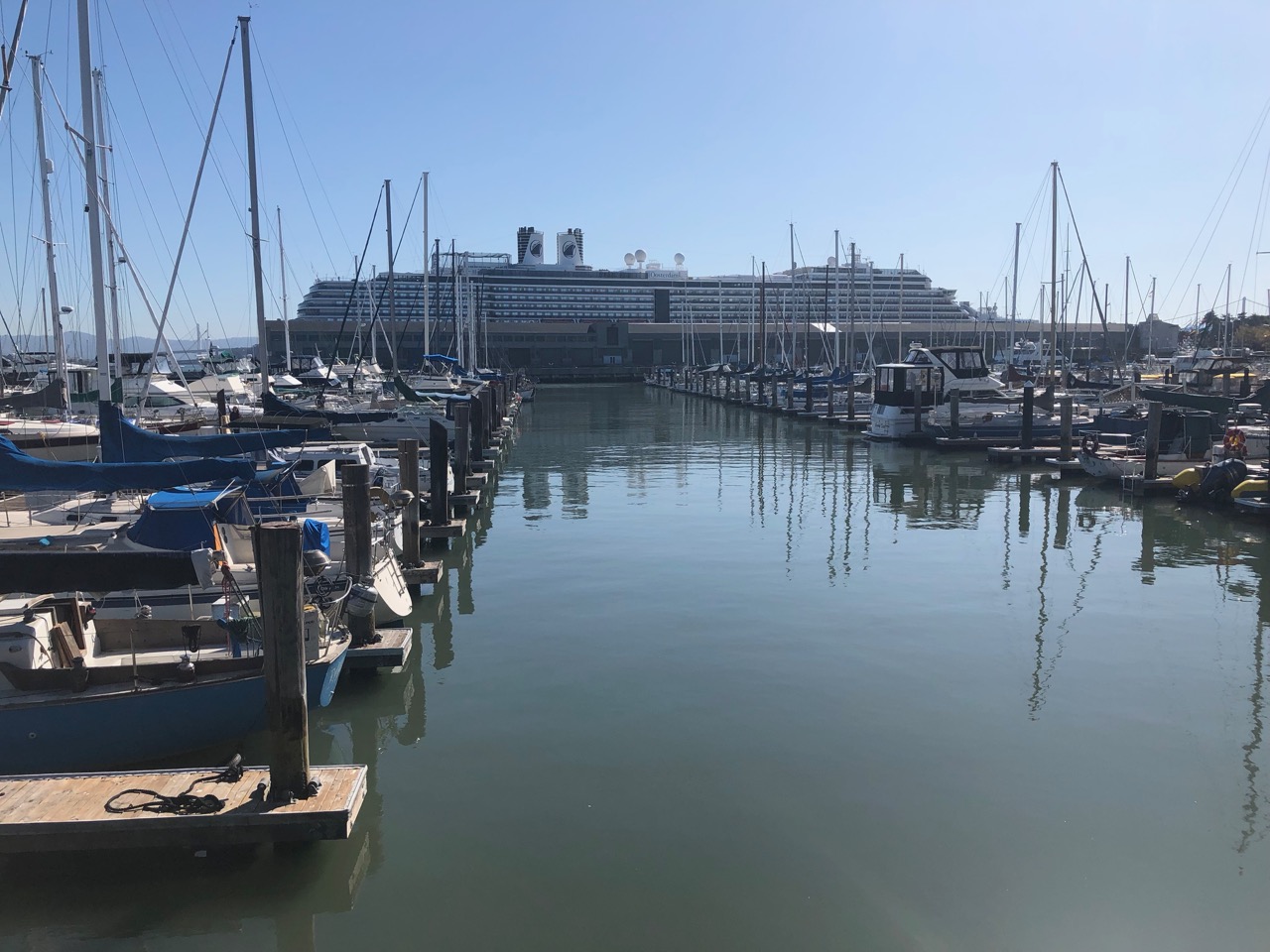
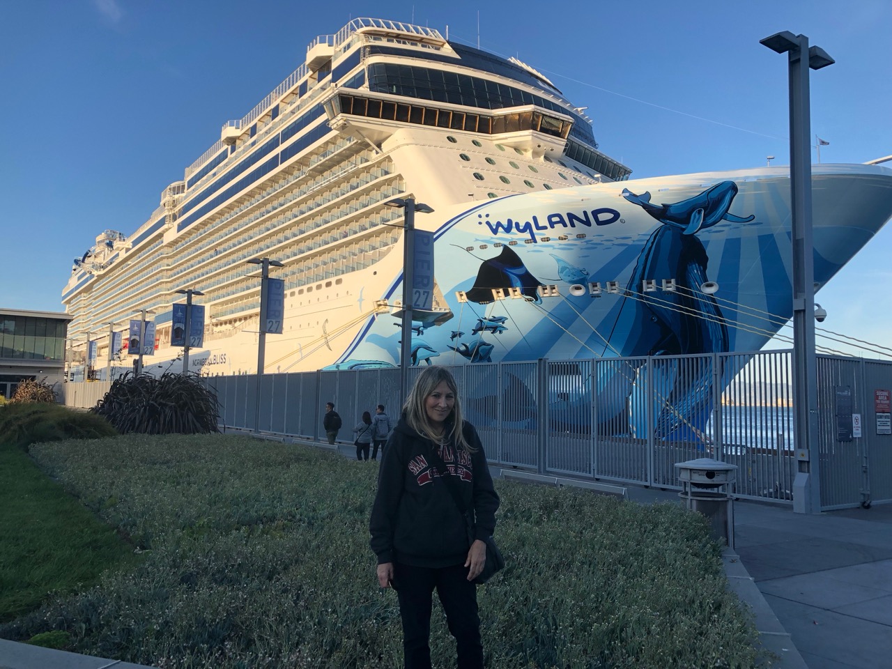
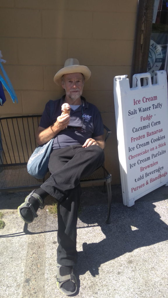
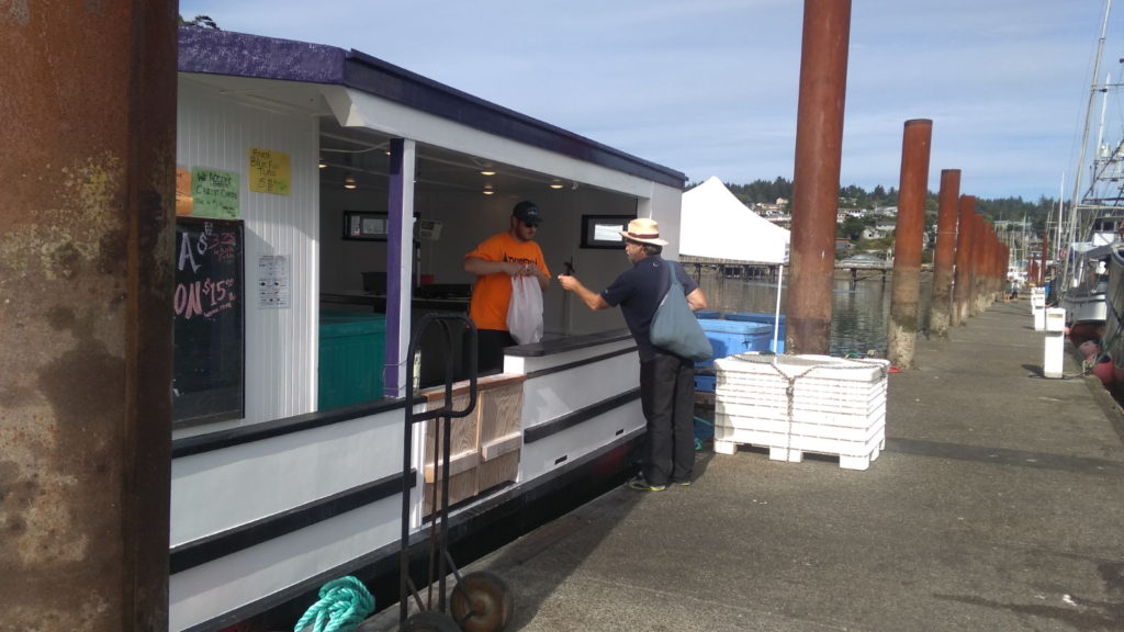
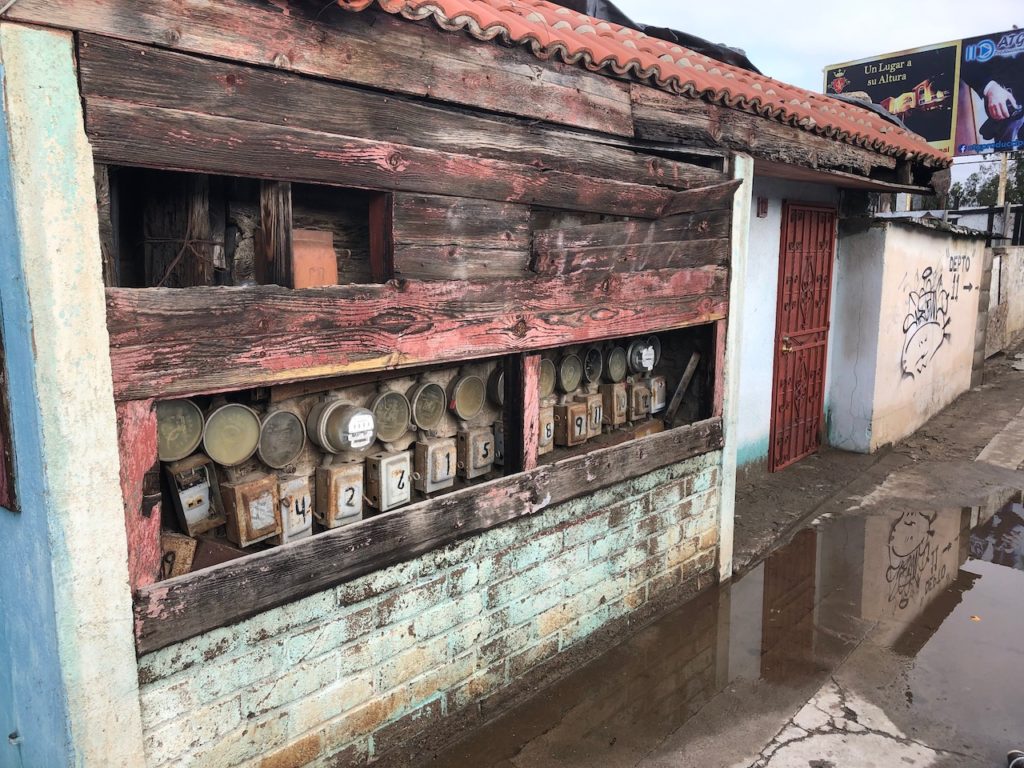
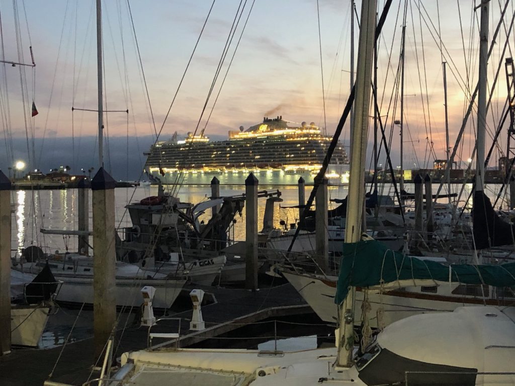
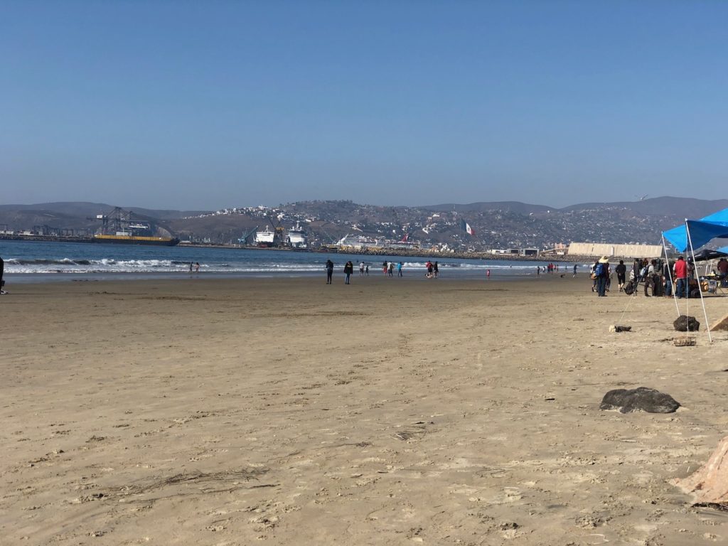
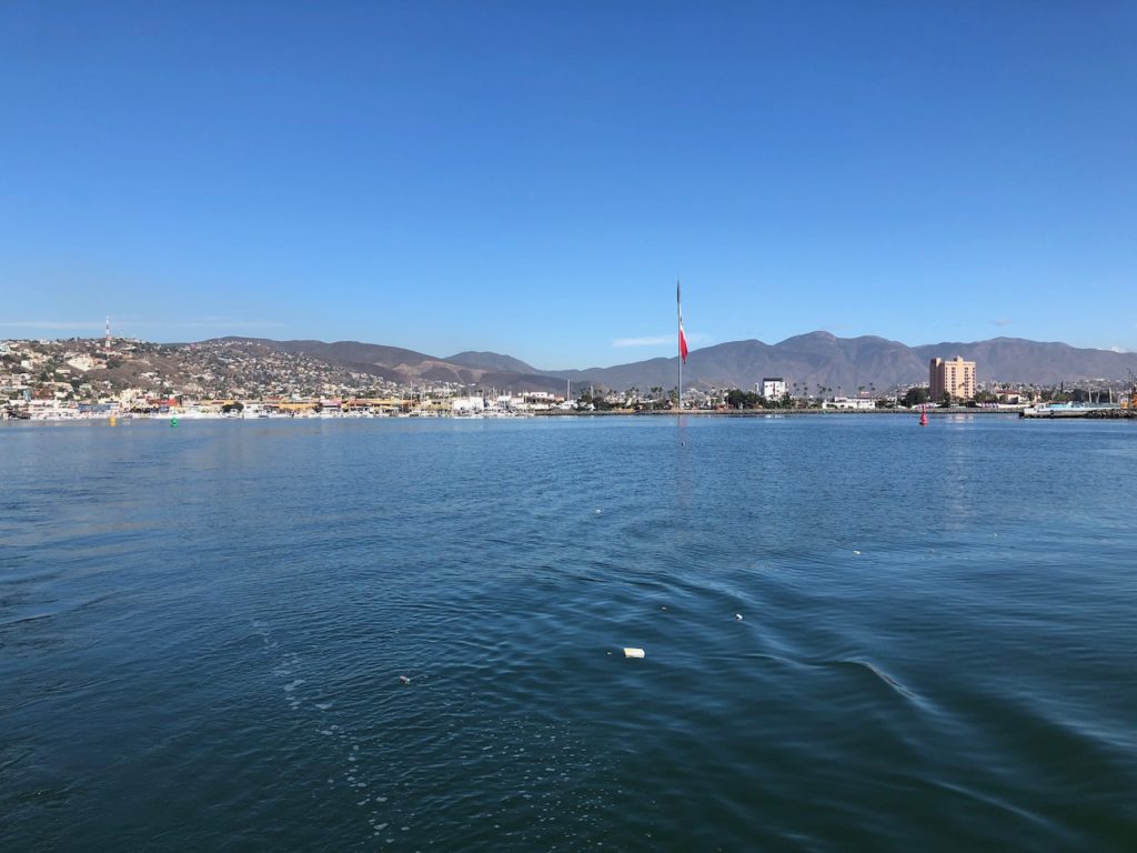
First impressions of Ensenada are that of a vibrant town on the up, but also a place with no shortage of poverty. In the last few years they have opened up a cruise terminal and there are 3-5 visits a week even now in the winter, we watched the carnival ships Inspiration and Imagination pop in and out on 5 days round trip ‘taster cruises’ from Long Beach LA and also the Disney cruise ships on longer trips. The town now has a nice Promenade, or ‘Malecon’ which leads the cruise passengers from the ship into the main high street where they can be fleeced silly by the local vendors, before they are beckoned to have a meal of ‘fish tacos’ and be serenaded by a local mariachi band. The whole thing doesn’t appeal to me, as I marched down the same street and had a chicken taco 😉
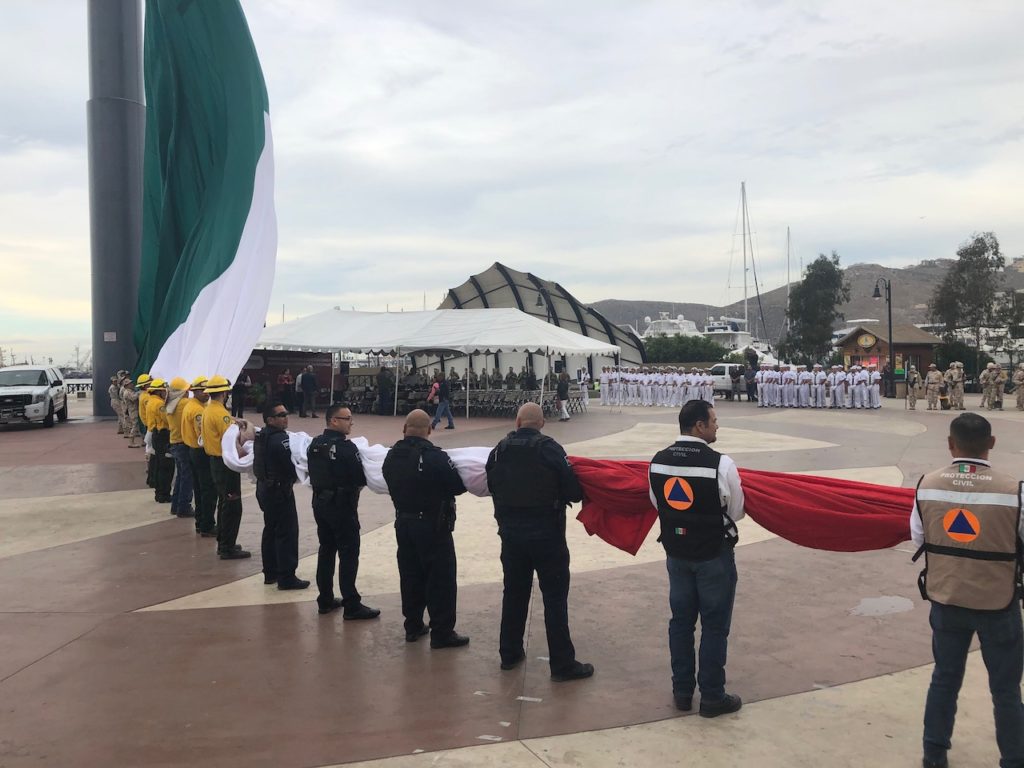
We had arrived at the start of the Revolution ceremonies, Mexico has had a few revolutions over the years, but the 20th November is the official one now. The town square is right next to the marina and sports a giant flagpole and the ceremonial raising of the flag by representatives of all the forces and official bodies, police/fire/rescue etc became a regular event.
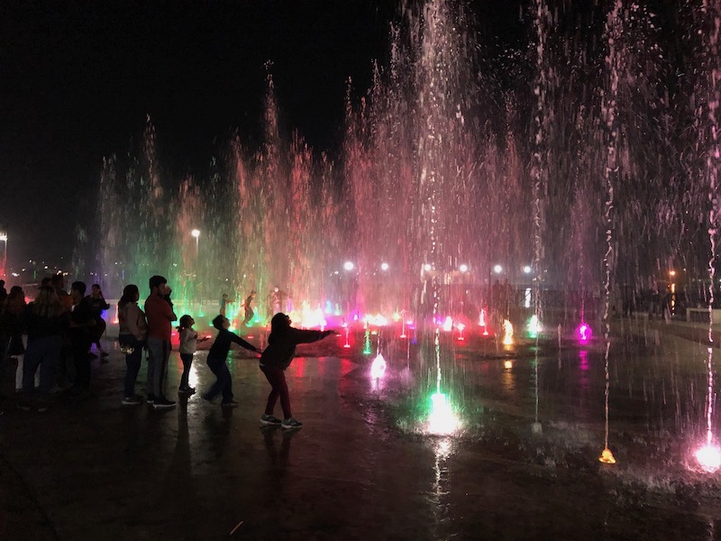
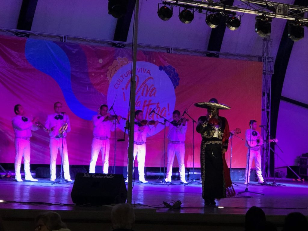
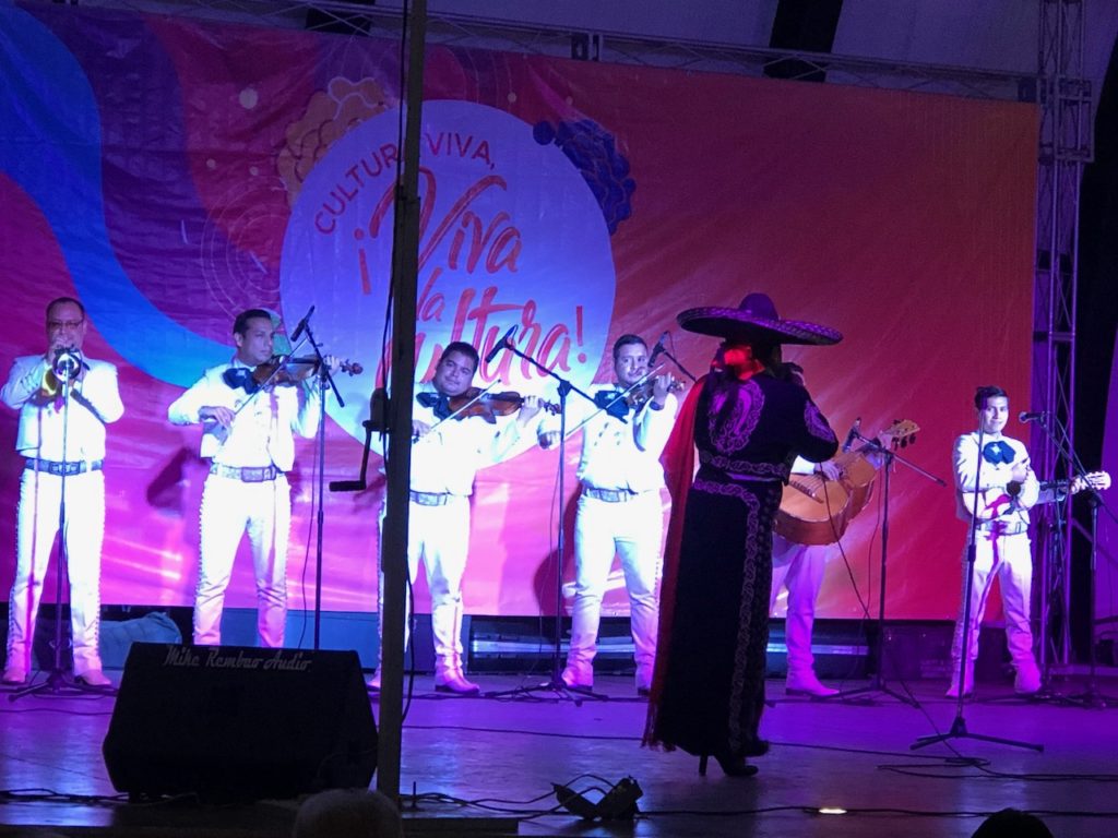
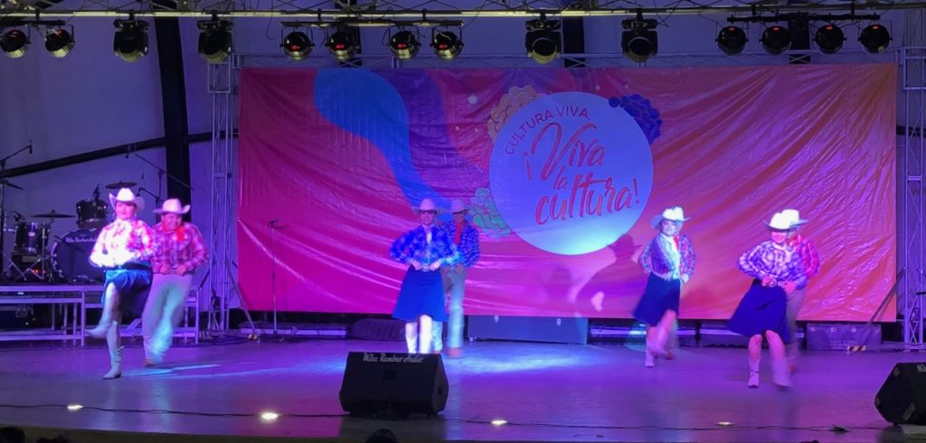
We also saw a concert in the square of traditional Mexican song and dance which was very entertaining.
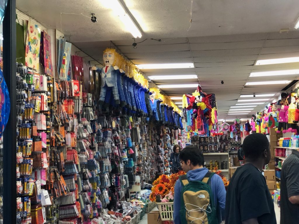
Once settled we were off to check out the shops, I was hoping that the town only had a few supermarkets, but it turned out to have about ten main ones and quite a few smaller mercados. After a bit of shopping around I managed to buy a couple of android phones, a Huawei for Kathy as her old Redmi had packed in after she took it for a swim, and a Moto 7 for me, I had hoped to ‘root’ and enable hot spotting, something I can’t do with the iPhone on my at&t plan. I’m still fighting with the phone to get in and flash new software.
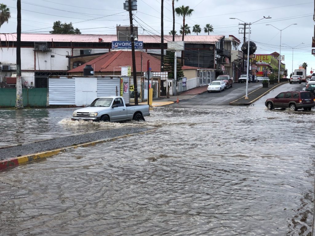
While we were here we endured a few days of very heavy rain, the temperature dropped and we were running the heater for a while. This wasn’t quite what I had ordered for the winter and wondered if I had ticked the wrong box for ‘paradise’.
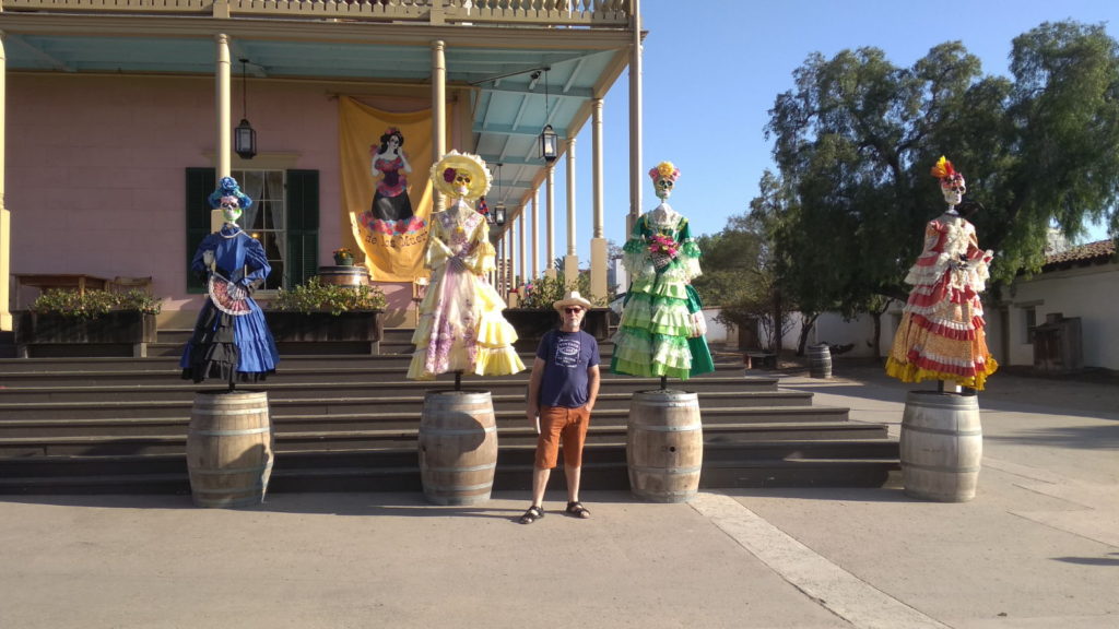
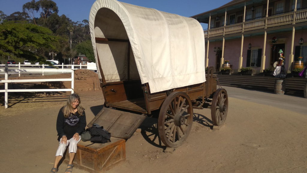
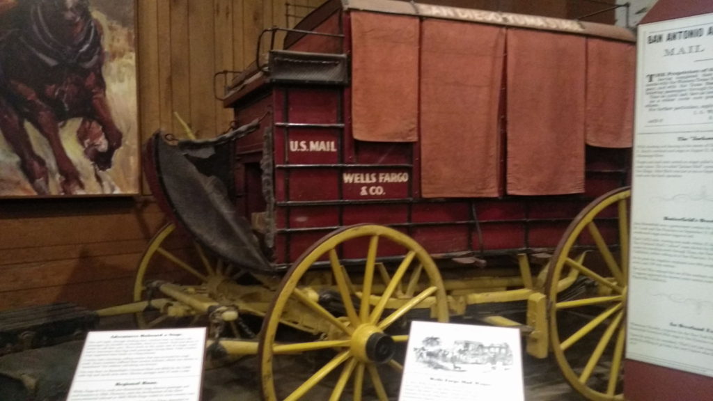
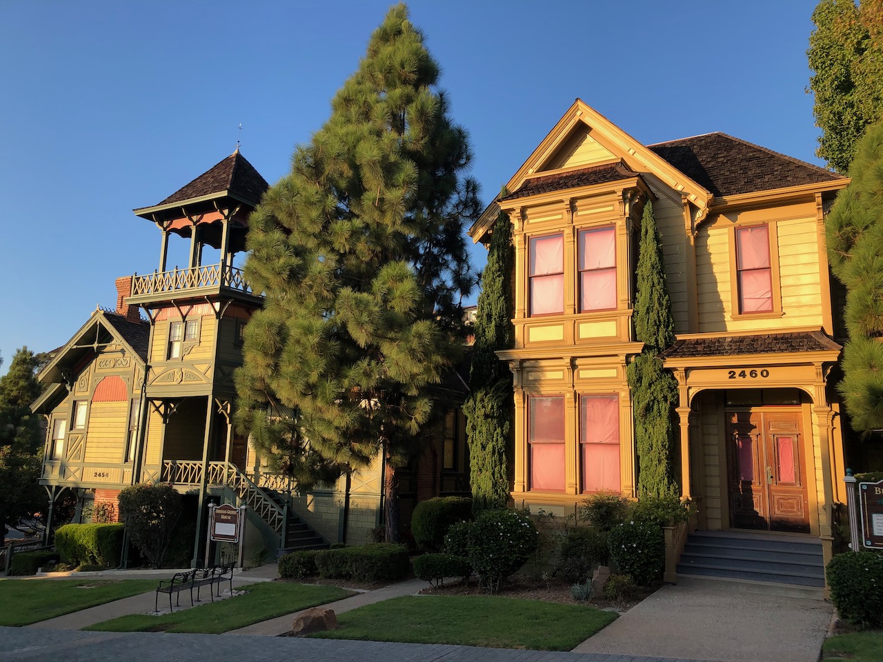
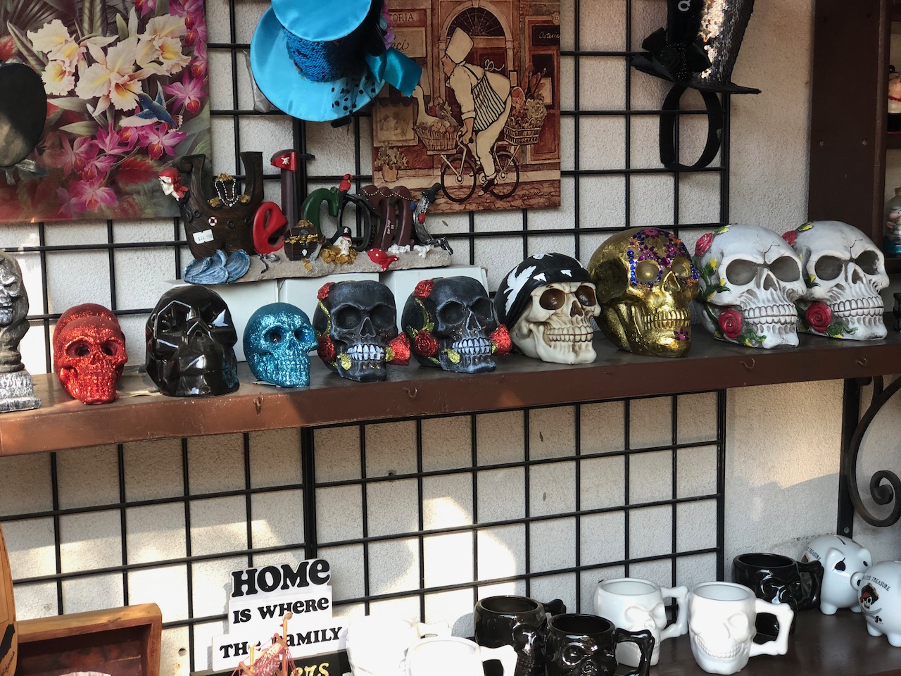
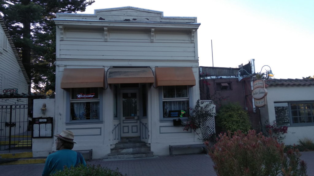
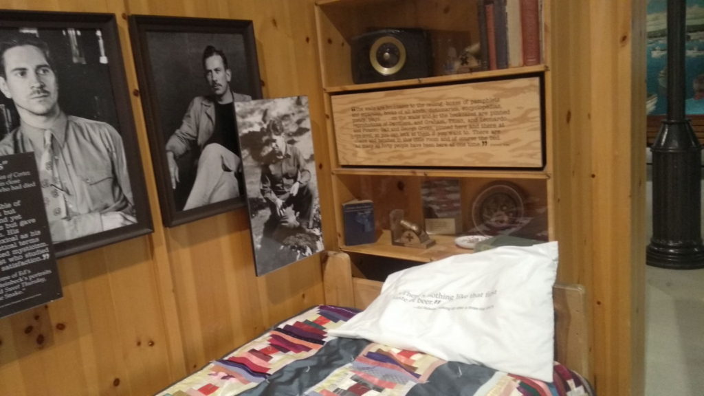
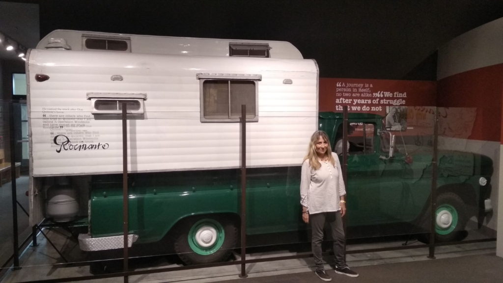
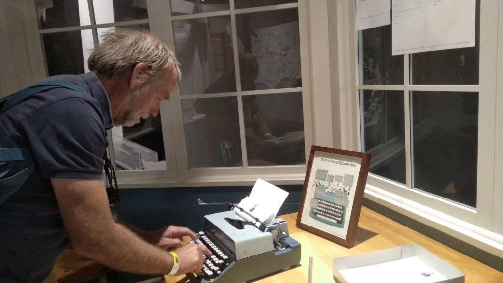
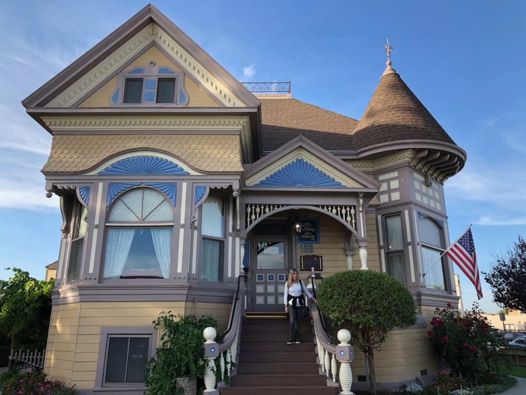
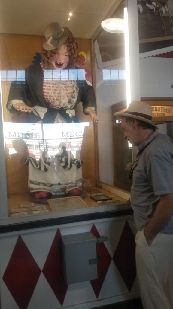
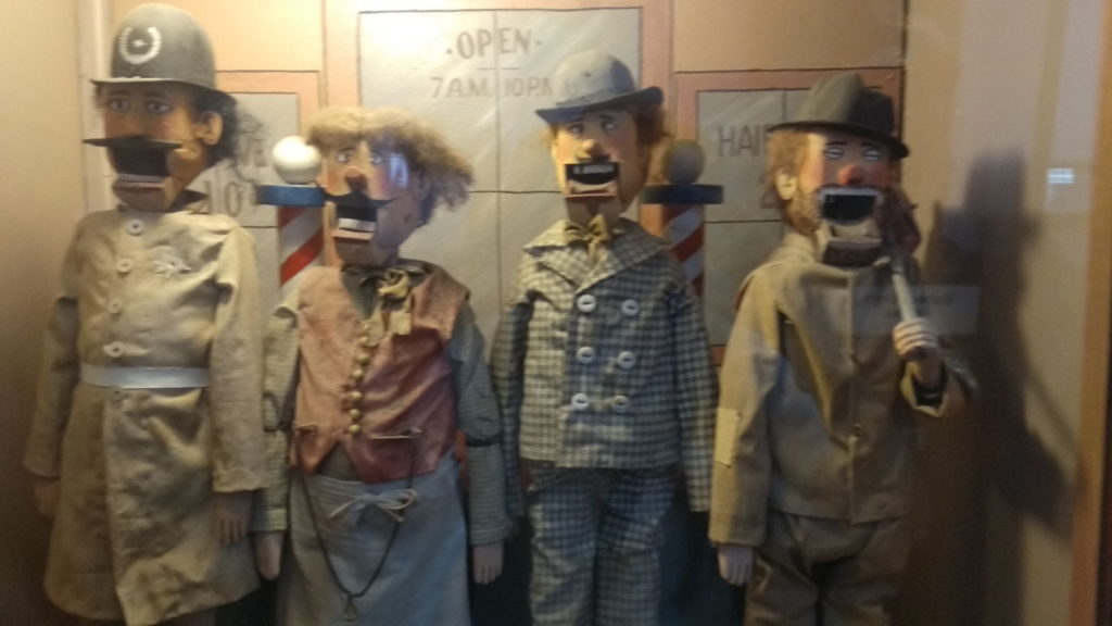
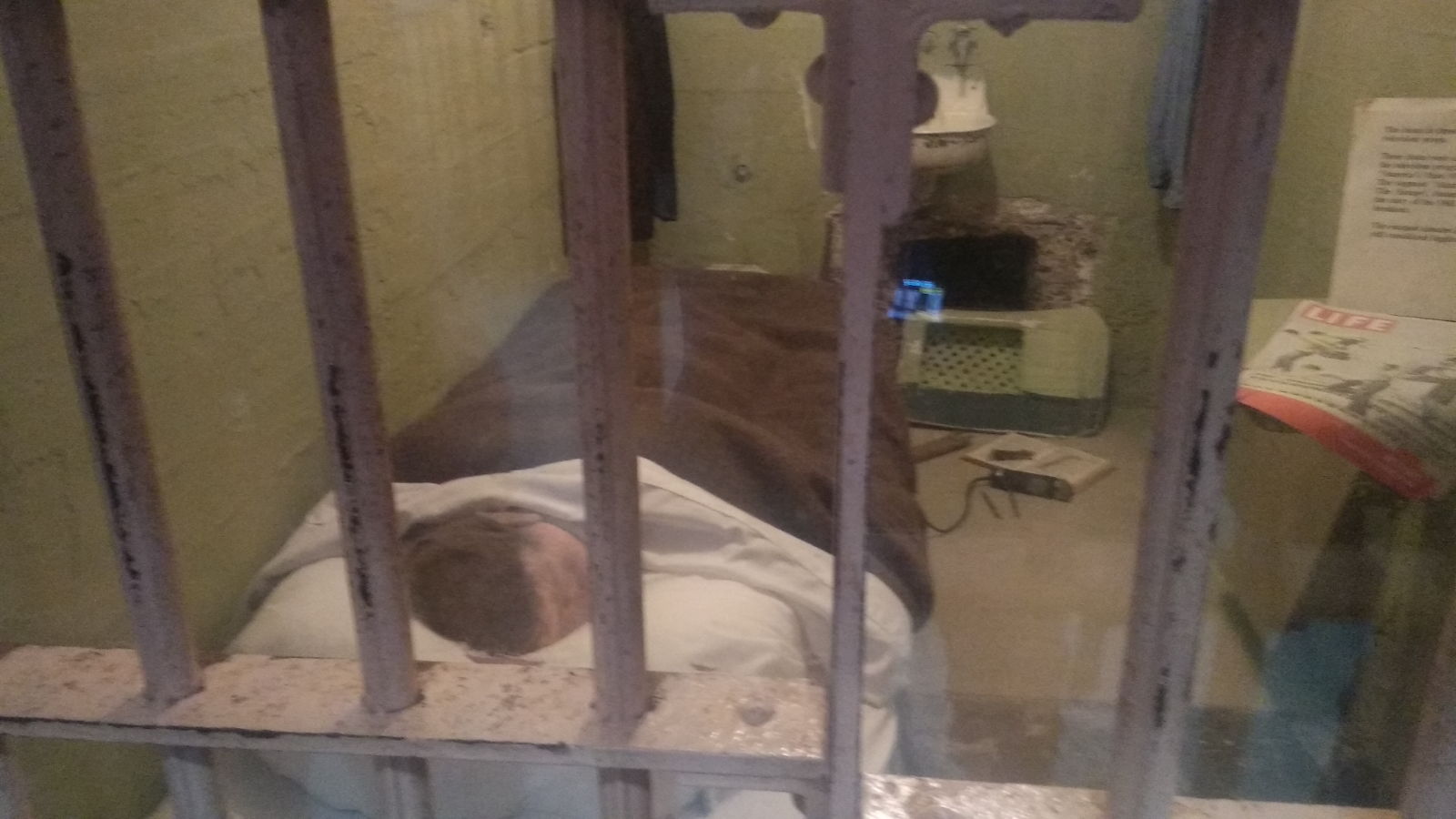
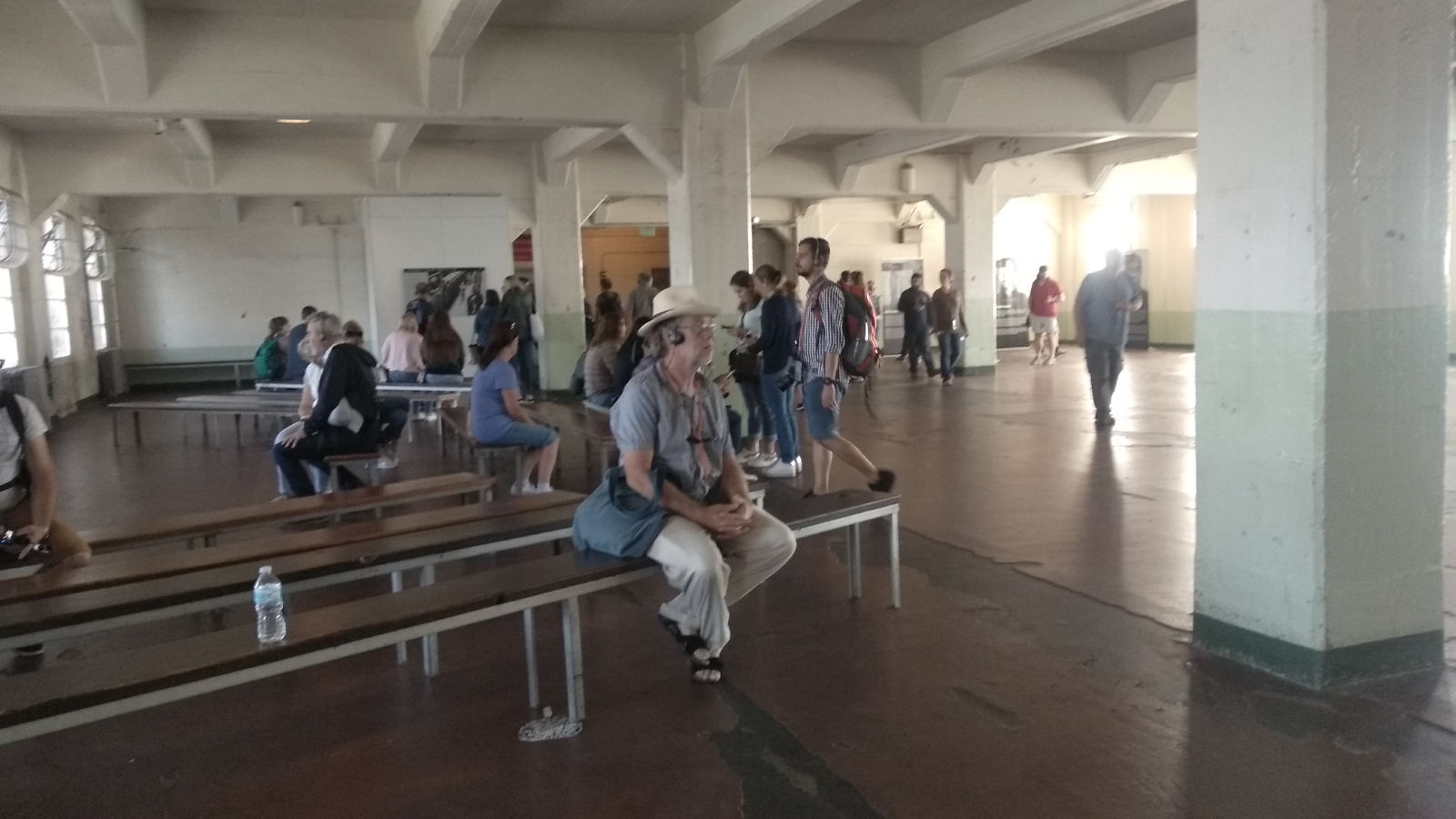
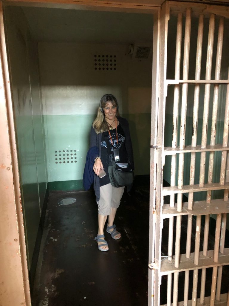
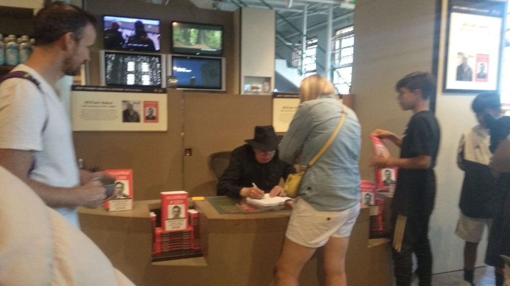
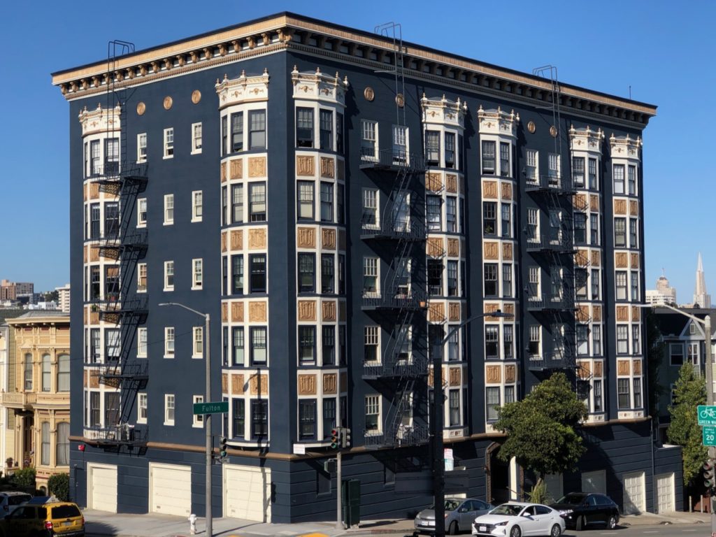
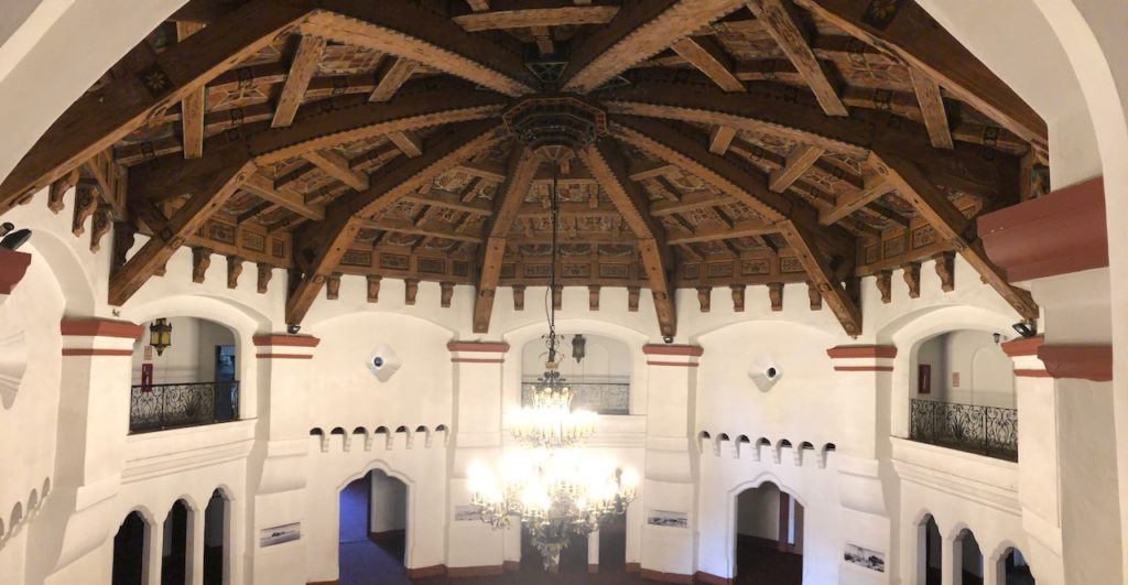
We had a very nice day visiting the local museum, this was housed in an old hotel complex built in the 30’s when the town was very small, it was built for wealthy Americans to come down and drink and gamble in the casino, it was an impressive building, and after the museum we had a drink in the bar there and bought a few trinkets from the stalls setup outside the bar in a pretty courtyard.
Back at the boat, it was time to make our preparations to leave and start the long passage south and into the sea of Cortez. The tap water is not potable (Drinkable) here, so we order 10 * 20 ltr bottles at $1 a bottle, to be delivered to the boat. I took a taxi ride to the garage to fill our jerry cans with 70 ltrs of diesel, this being how much we had used getting here from San Diego.
Before we left we did a big shop at several of the mercados, this being our last chance before we reach Cabo San Lucas. Shops along the way will have very limited choices.
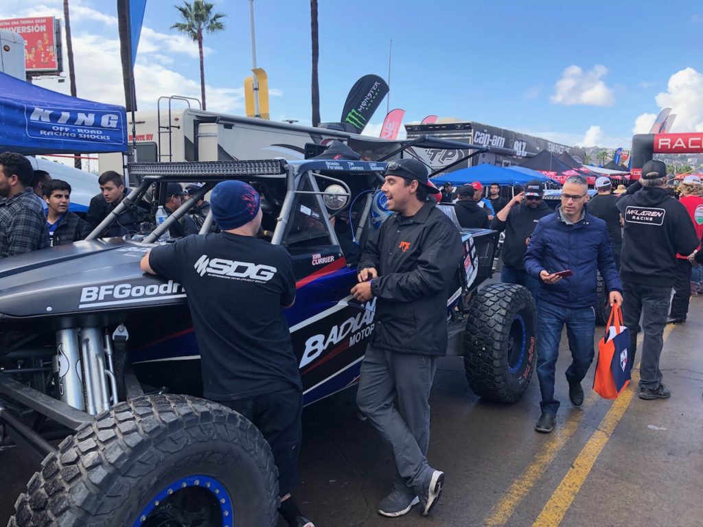
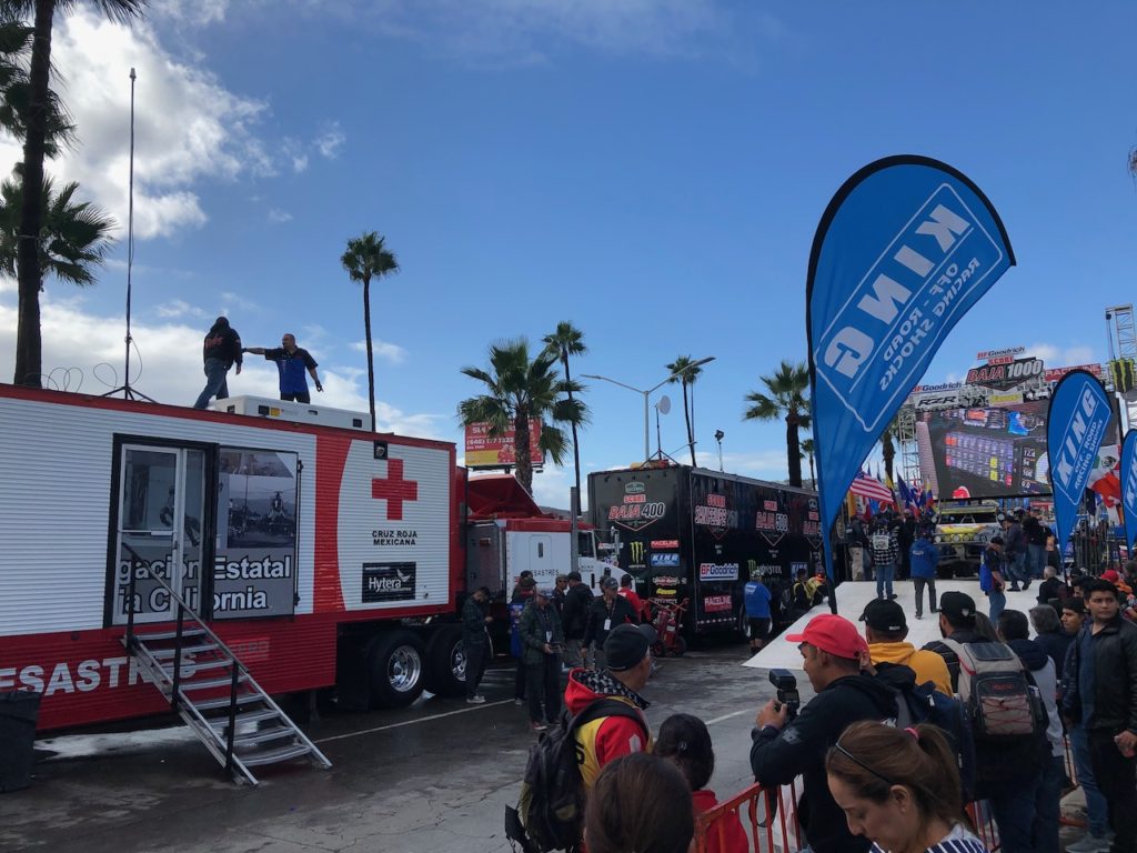
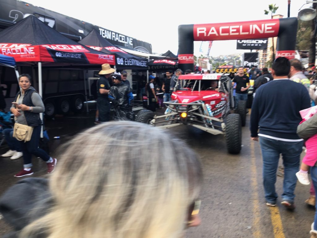
On our way to the shops we walked through the start line for the Baja 1000 motor race. I hadn’t heard of this before, but apparently it’s a big deal in motor sports. There was quite a collection of off road vehicles, along with lots of stalls setup to service them and the tourists who had gathered for the event. The race which starts on the river banks in the centre of town had to be delayed by a day due to the heavy rain causing the river to flood.
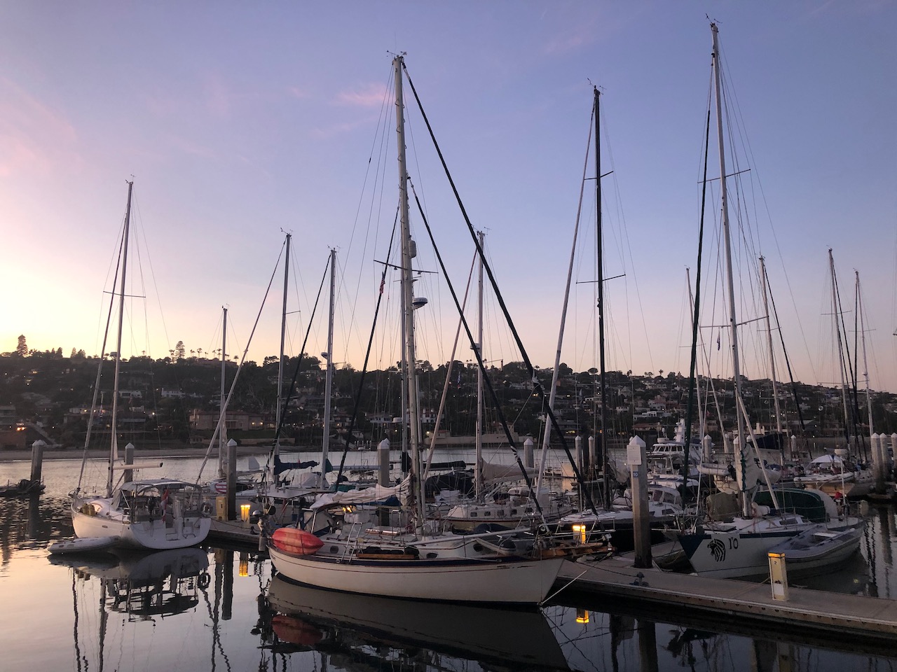
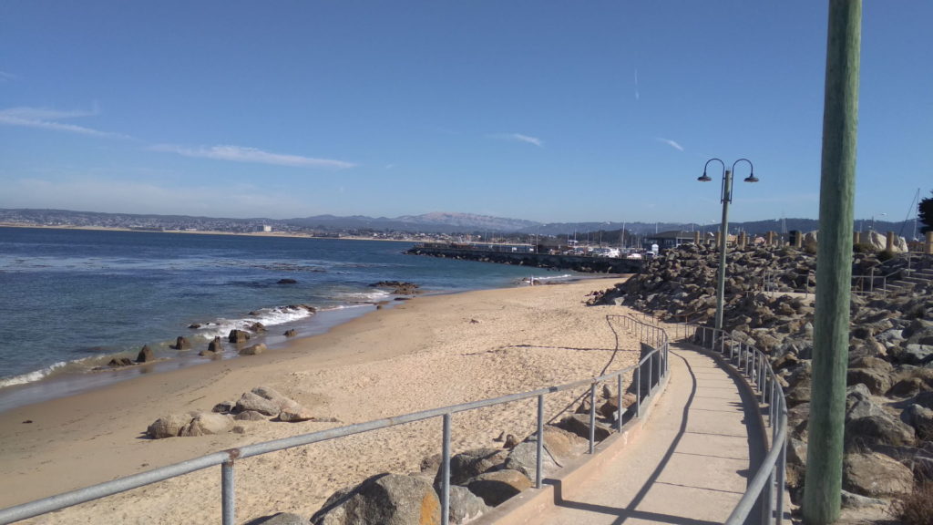
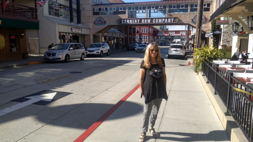
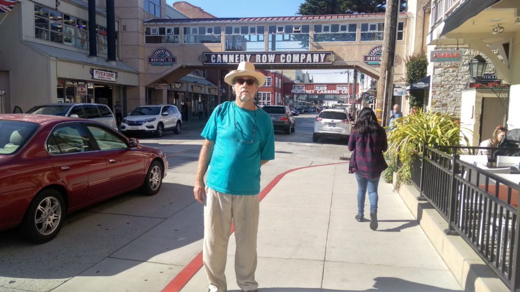
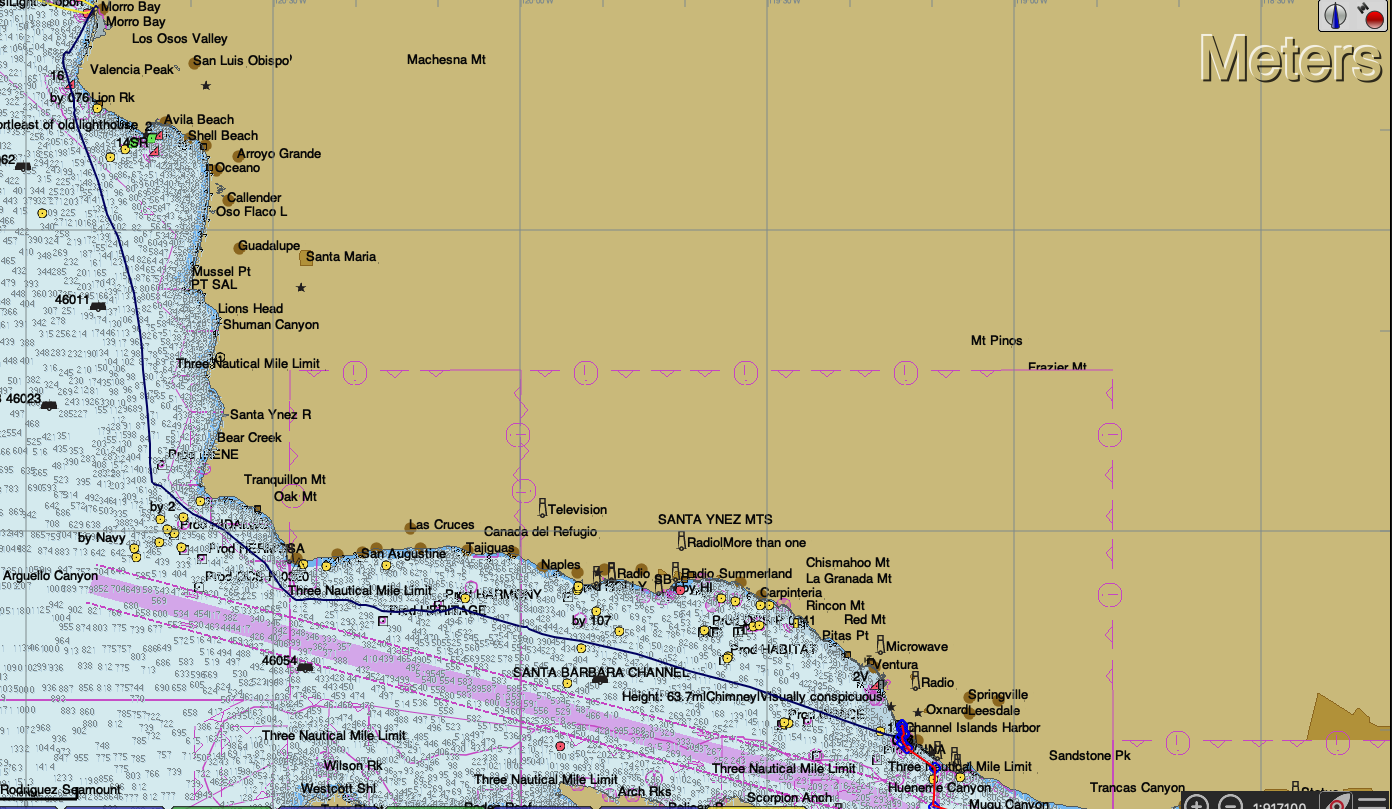
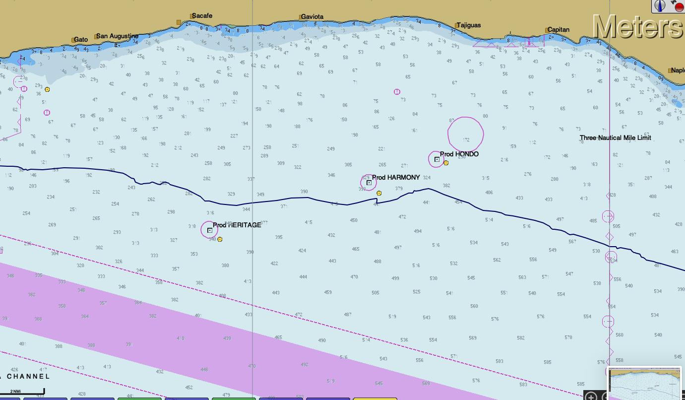
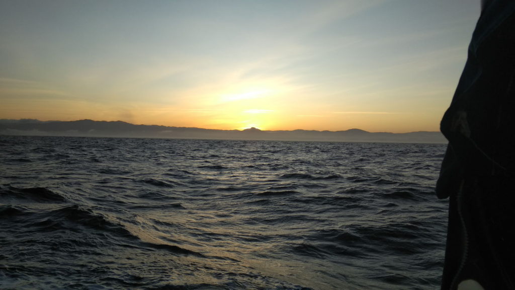
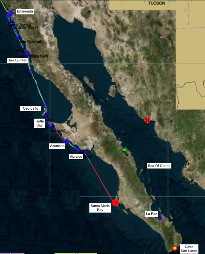
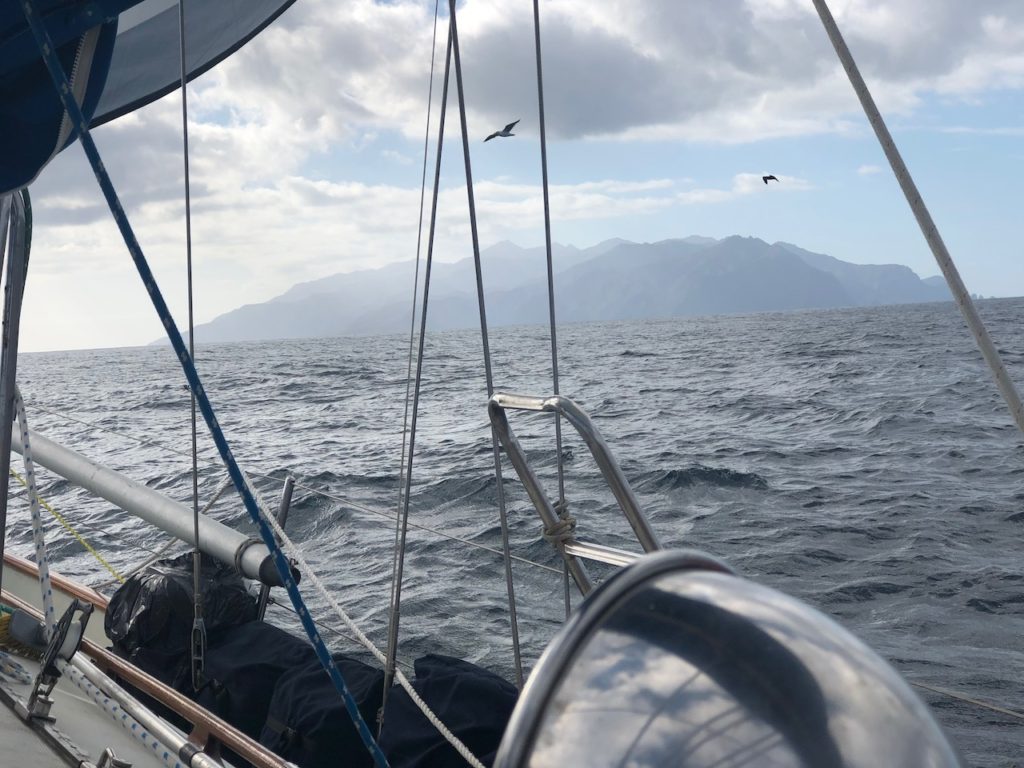
Finally, fully loaded we were ready to leave. We said goodbye to our neighbours, Brenda and Clay on Sansucci, who we had met first in Monterey, then later in San Diego and off we headed off early the next morning hoping to do a short hop down the coast, and spend the night in a little enclave about 32 miles south called San Jose. However as we left it became apparent that the Pacific Swell was quite big and might make that spot uncomfortable. As we approached it, we heard two yachts in front leaving the cove saying it was too rough and the kelp there was terrible. So I made the decision to go straight to San Quentin which meant an overnight passage to cover the 120 odd miles.
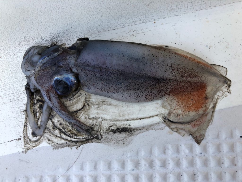
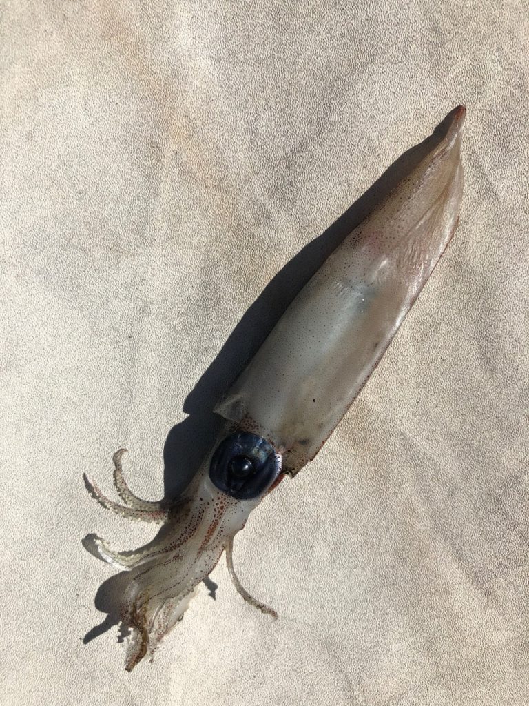
Arriving at our destination revealed that quite a few squid had decided to jump onto the boat during the night, and expire on the deck. I wouldn’t mind, but on expiring they had left huge ink stains I still haven’t been able to remove fully.
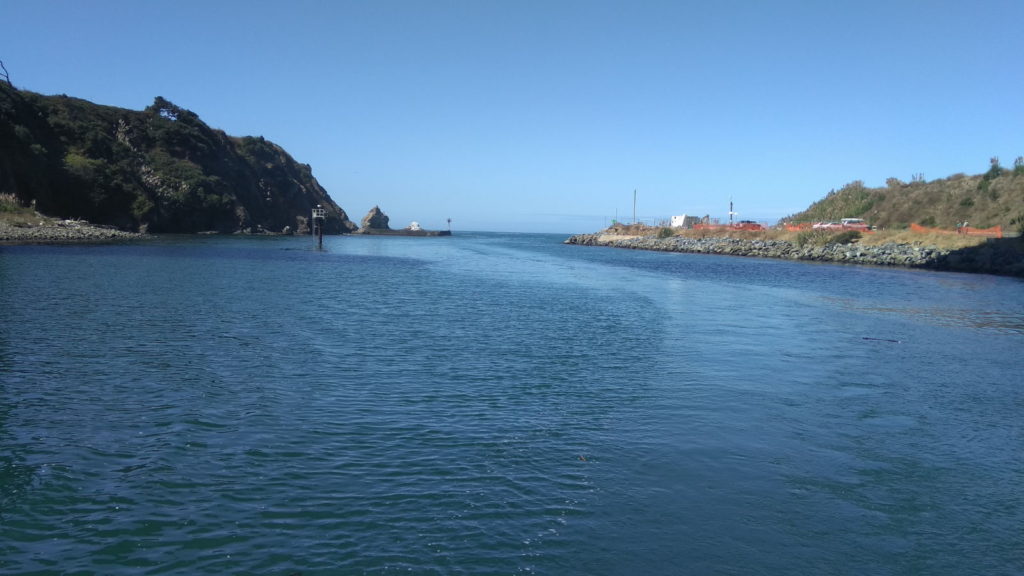
San Quinten, (pronounced San KeenTeen) is quite well protected from northerly winds, of the type we expect to have for a few months now, but turned out to be quite Rolly all the same. It has an entrance to an estuary which I had hoped to explore by Kayak, but altogether the weather was grim, the water choppy, so we slept a lot and the following day pushed on to our next port of Cedros Island.
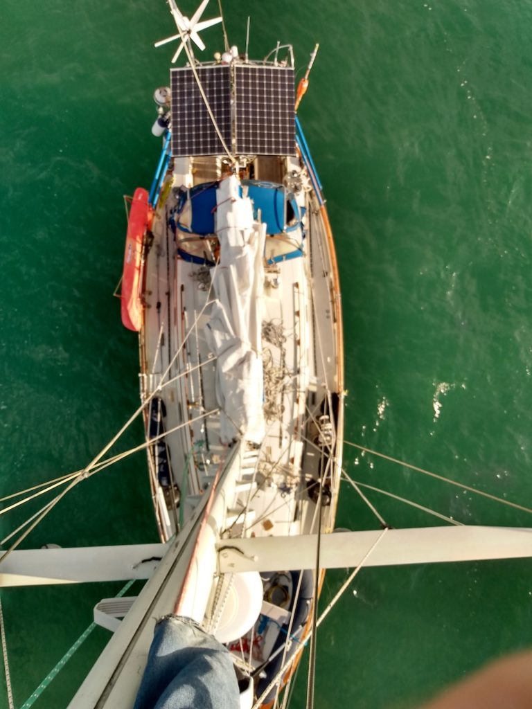
Before we left, I popped up the mast to replace a halyard that had shredded. I use it for the spinach pole uplift. I spent a bit of time rejigging the whole spinnaker setup and it’s much better now. I can get my pole up without a huge wrestling jousting match.

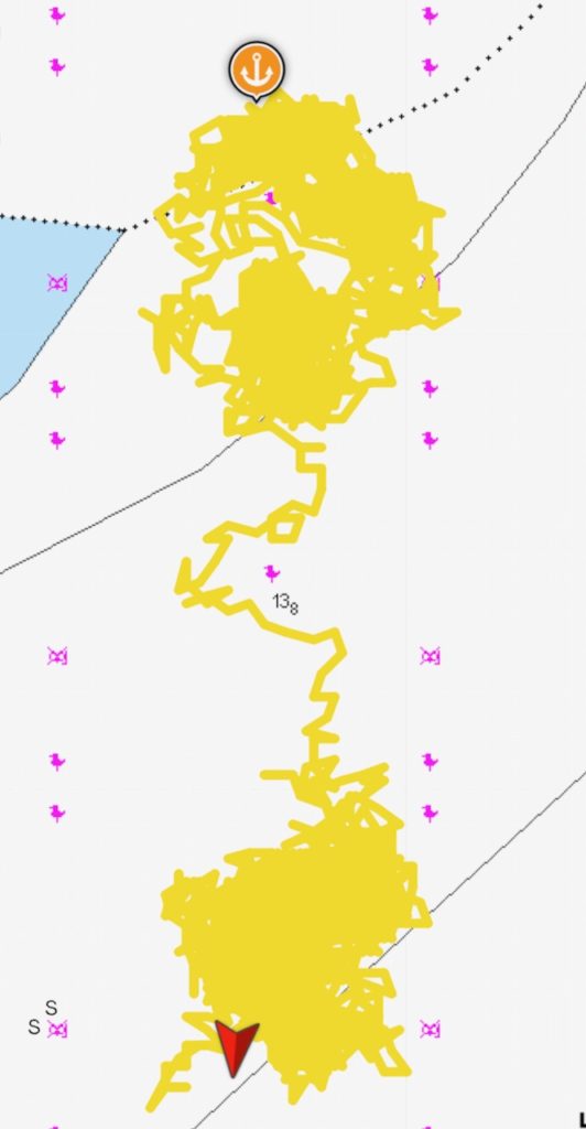
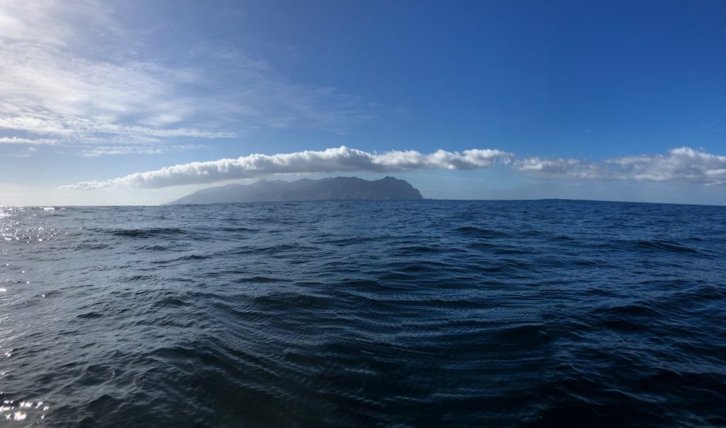
Leaving for Cedros town meant another overnighter, and we arrived an hour before sunset. We spent 30 minutes trying to get the anchor to set, on the third try it dug in, but it dragged a little when I gave the boat max revs astern, but as it was very calm I left it at that and set up an anchor alarm on my iPhone, just in case. We hurried ashore before the light left us as the pilot guide suggested this town was one of the more sophisticated along the Baja coast. We weren’t convinced. It reminded me of my few months in Afghanistan, dirt roads, dust everywhere, destroyed buildings, with dogs rummaging through them. Was this a taste of what was to come?
We found a shop and said hello to a few locals. Everyone seems very friendly here, but the town was very run down. There is some fishing done here, but mainly the island is home to a huge salt distribution centre, with a deepwater dock a mile south of the town, with mountainous piles of salt piled up there.
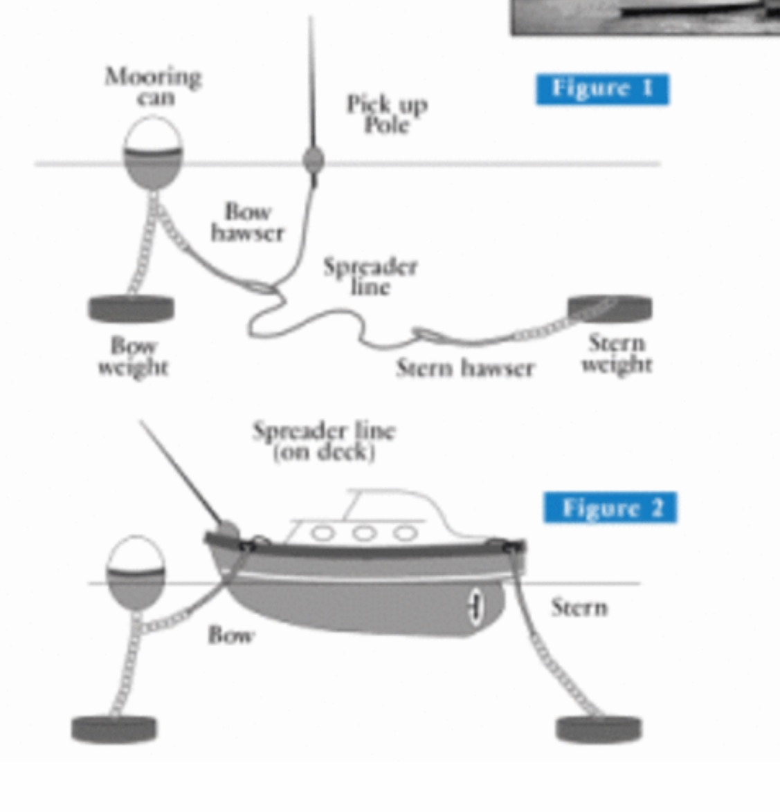
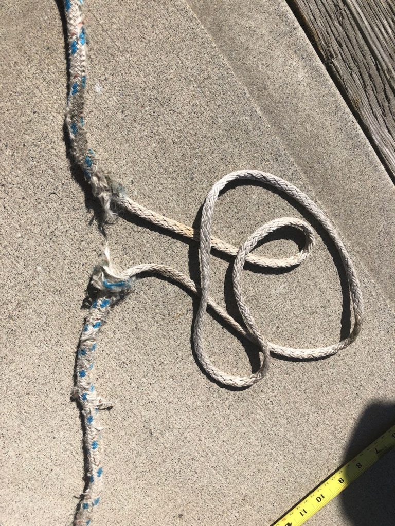
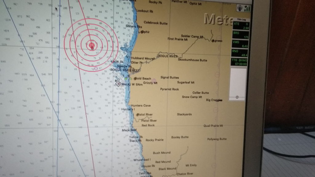
On a rather technical point, I had a shocking, and it was all about shock loading, experience in San Quinten. This is about how not to set an anchor, so skip this paragraph if you like. Basically we normally set the anchor by gently falling back on it , with the engine in low revs in reverse. When I feel it has dug in, we usually increase the revs, to near maximum, depending on the weather and expected weather. Before we reverse, I put a small snubber of the anchor chain from in front of the windlass, back to the Samson post, so that the strain is taken by this line and not the windless when we reverse. Once we are set, I put a bigger snubber line out that goes into the water. We had been reversing, with moderate revs, but the anchor chain kept going from taut to slack, presumably as it wasn’t holding. I was confused, it seemed to set, but then the chain went slack. What was actually happening, and I hadn’t twigged, was the swell was quite large, and was lifting the boat up 5-10 foot on the crests every 15-20. Seconds. Later In a period of low swell, the anchor seemed to be holding so I asked Kathy, who was on the helm to give it maximum in reverse, she did, the chain went bar tight, the snubber taking the full force and I was happy we were set, just needed to check our speed on the gps and we would be done. However at that moment a large swell came in and lifter the boat up high, it was more than the snubber could take and it snapped in an explosive kind of way, the chain hook left the chain and shot off like a bullet, and the remaining rope recoiled back onto the deck. The windless clutch wasn’t engaged, so the anchor chin started screaming out at full speed. I got the brake on the clutch and concluded we were set. Fortunately I had a spare anchor hook, and the one I lost had been a cheap galvanised job, so no great loss. Also the rope I had been using for this short snubber was an old piece of halyard, probably the worse choice as they are designed to be non stretch. The next day I found the old hook sitting on the bow platform right at the front ready to fall off.

This wasn’t going to be the end of my snubber woes this week.
Wed 27th November, Cedros to Turtle Bay.
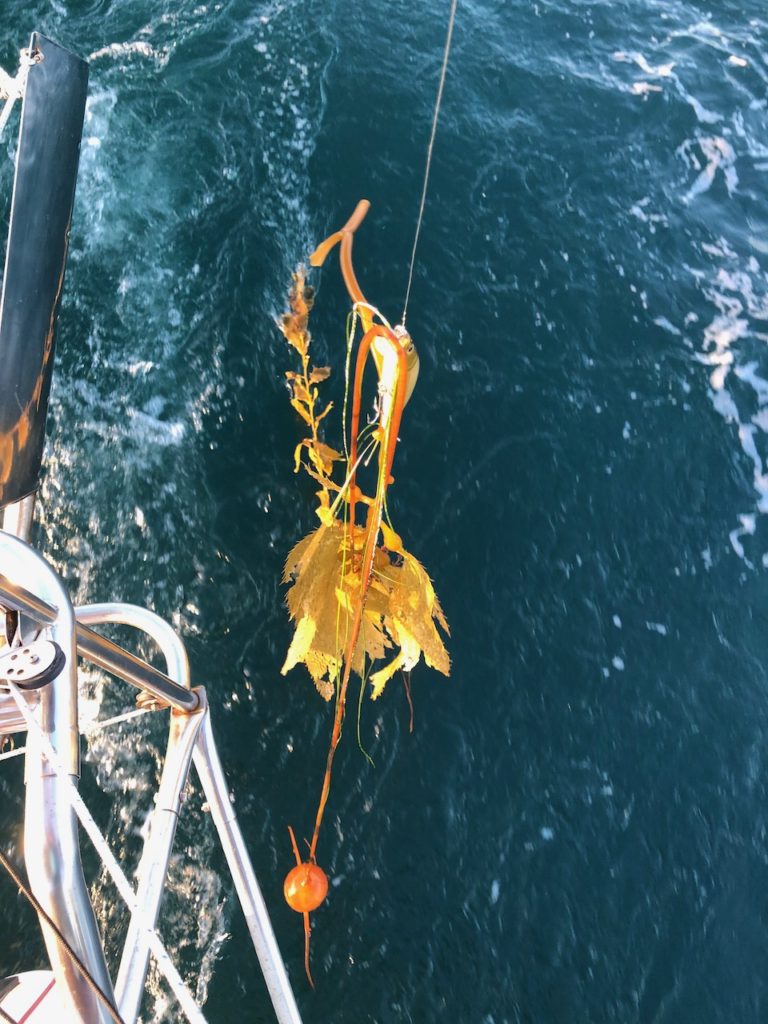
As we left the next morning we passed in-between two sets of crab pot marker buoys. I had assumed the two buoys 100 ft on the left belonged to one set of traps, and the group of buoys 100ft to the right, another. Imagine my surprise when I noticed we had gone over a length of floating polypropylene rope joining them together. Normally the rope would glide along our keel and pop out the back without any issue. The shape of our hull means the prop and rudder shouldn’t be able to trap the rope. However this time the rope didn’t pop out and all the buoys were now following us. I had already killed the revs and gone into neutral before the rope had got near the stern of the boat, and I couldn’t go into reverse for fear of snagging the rope, so we just drifted slowly forward towing the buoys as I pondered my next move. Kathy was asking me what are we going to do, and I really couldn’t think what, this shouldn’t happen, there’s nothing for the line to snag on. I’m guessing there must be barnacles on the underside of the keel big enough to hold the rope. Anyway, we hadn’t travelled more than a boats length when the ropes went taught then popped out the back of our boat and we were free to continue our voyage. Over the next few days we found a lot of floating lines are used on marker buoys here and it’s a very dangerous situation, especially for more modern boats that can snag lines easily.
As we left the weather began to turn bad, the rain started and really picked up. I could have filled our water tanks if I had a decent capture system.
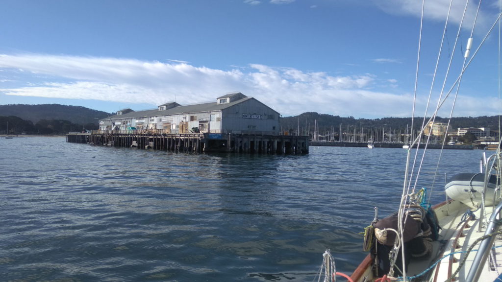
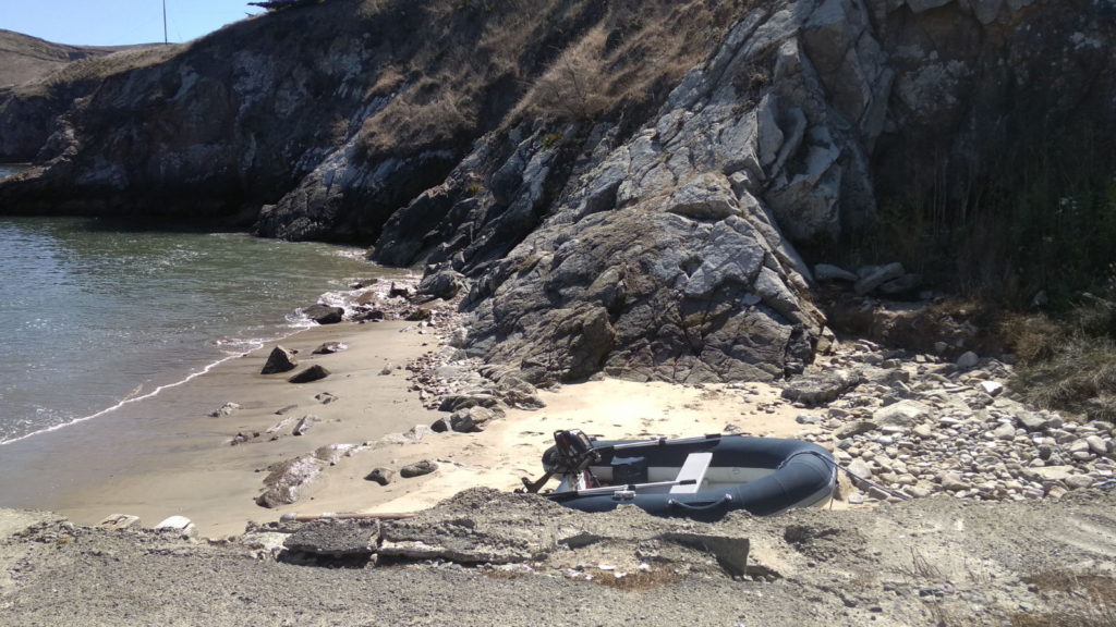
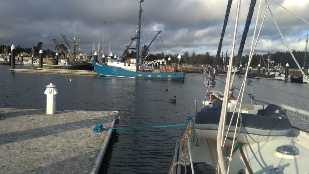
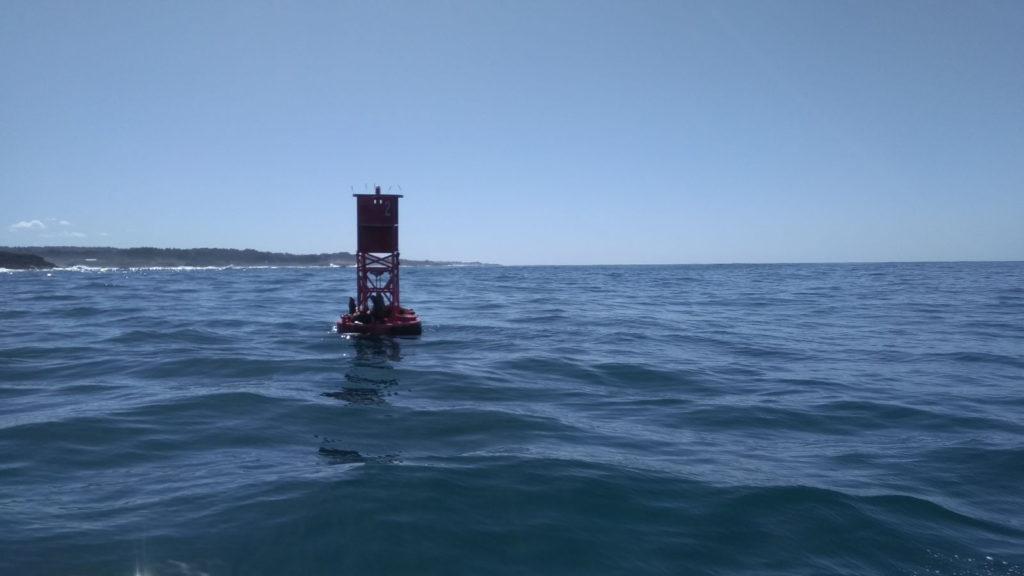
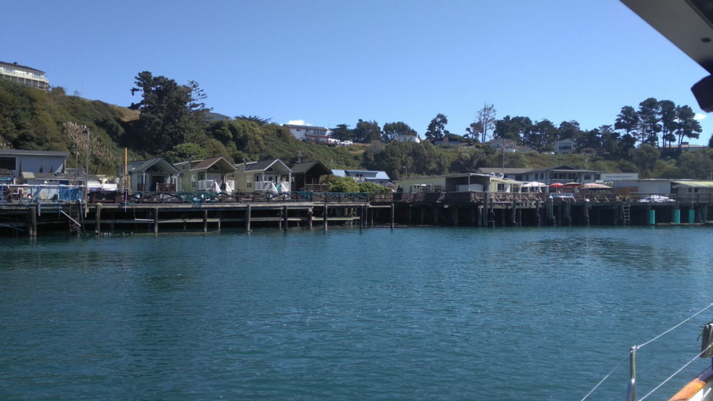
We also had to navigate through endless amounts of marker buoys before we got to Turtle bay. It was only a short day trip across, but required me to put on full foul-weather gear. By the time we arrived in Turtle bay things had improved and we motored close to the town pier and the beach to make it easy to dinghy ashore.
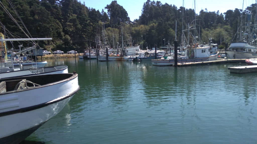
Turtle bay is the main / biggest town between Ensenada and Cab San Lucas and the first stop on the Baja Haha Rally. A lot of boats refuel here as it’s the easiest place to take on fuel before Cab san Lucas, however the second source of fuel stopped, leaving Enrique with a monopoly. The going rate is normally around 22 peso a litre, but he has upped the price to 33 peso, a 50% hike, plus he charges 10% extra if you want to pay by card. There is a Pemex petrol station in town, but Enrique tells everyone it doesn’t sell diesel, which it does. If you insist on going there, he tries to stop you by saying he will get the police onto you for breaking his exclusive contract to supply diesel in the town. One of the skippers went to the police to get the story and was told Enrique was talking nonsense. Failing all else he tries to intimidate you with his friends on the jetty. All in all this left us with a very bad impression of the place. It wasn’t helped by the very run down nature of the town. It’s such a shame, word will get around and people will stock up on fuel or go to the next port of Bahia Asuncion where there is a Pemex selling diesel for 22 pesos.
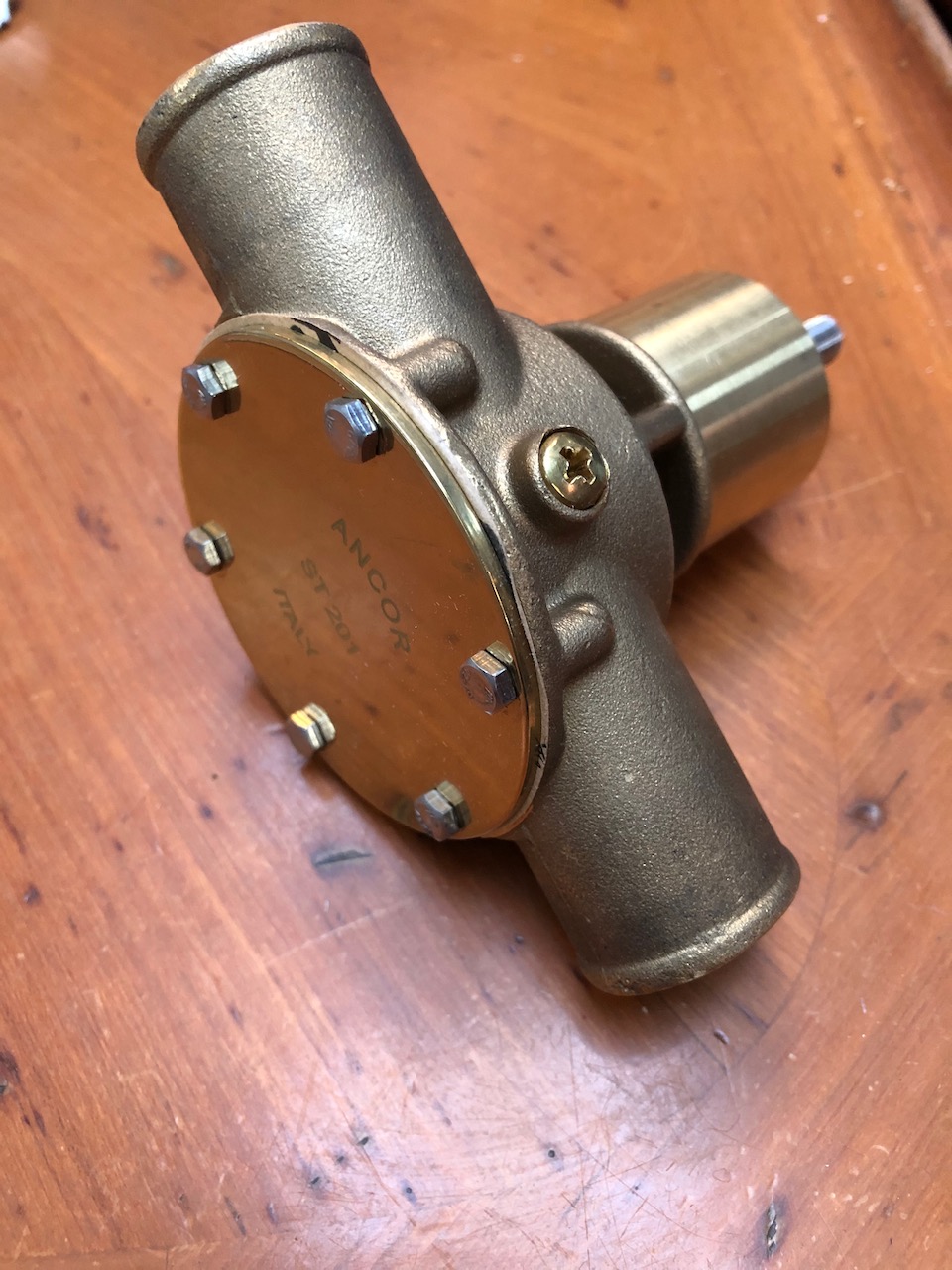
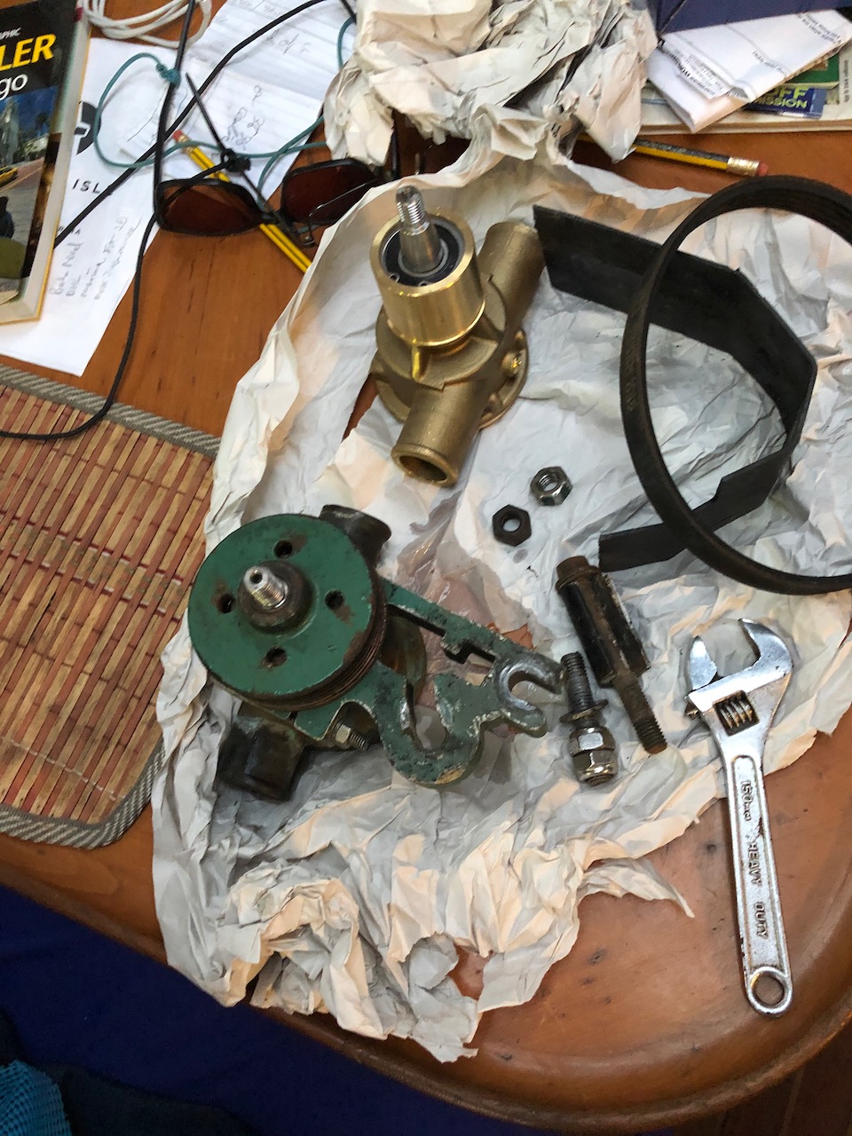
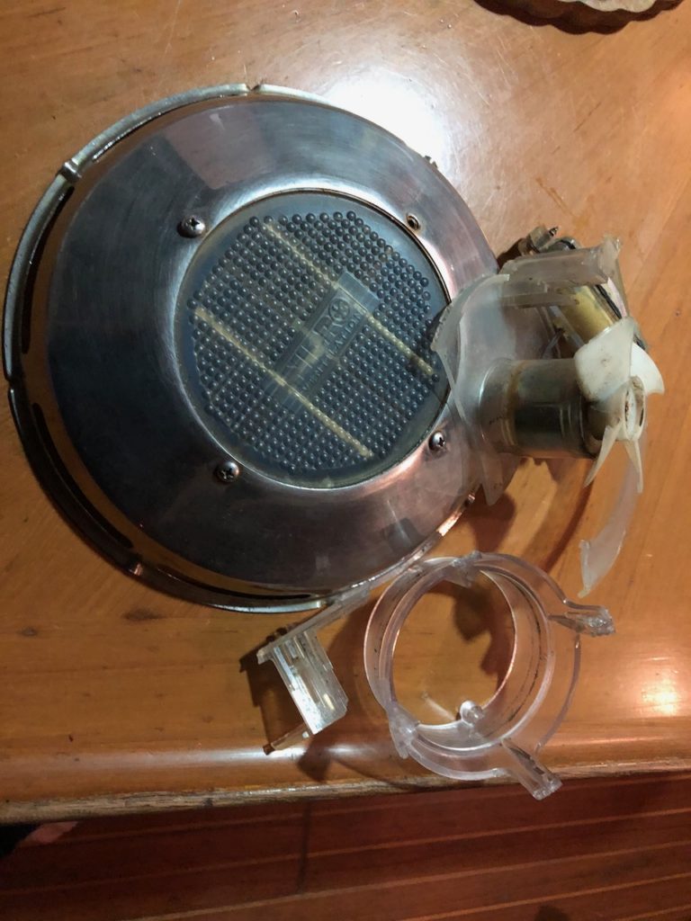
On our first day we didn’t go ashore, I wanted to fix our bilge pump. It was making a whirring noise, but not pumping. It took a while, but eventually I had it out from the bottom of the deep bilge, and years of oil removed from its case. When I ran it it seemed to work, but the centrifuge was actually not connecting to the drive shaft due to a retaining circle being absent. I managed to fit a new one, I carry a huge selection, thanks to Aldi who did plastic boxes of this type of thing for a few quid, I have copper washers and fibre washers and springs, all from the same source. I do miss Aldi and Lidl for these bargains. Saying that I expect it’s meant to be stainless steel and the mild steel circlip will soon fail, but I’m going to get a new pump anyway as this one sounds a bit growly, I suspect the bearing in on the way out.
Turtle bay is well protected from all directions except the south west, winds from that direction are very rare at this time of year, however the forecast had been for 10-15 knots from the west, which might bring some swell into the bay. Back at the boat, I checked the forecast and we were now looking at 15-20 knots from the SW, others had a prediction of 20knots from predictwind, which is often very accurate. This was a worry as we are so close to the beach/rocks and 20 knots would be pushing us towards the rocks, should our anchor fail, it would be a matter of 5 minutes before we hit the rocks at best. The wind was forecast to peak at midnight, and by sunset it was around 15 knots and rising. Our anchor was holding well and I was optimistic that we would hold well even if it rose to 20 knots. I was now in a horrible situation, I knew if we left now we would have a very tricky time getting the anchor up in a crowded spot, the swell / waves were getting big and we would have to get everything right to navigate through the anchorage 2 miles across the bay to a more sheltered spot, unsure just how much shelter that spot provided, and the holding over there was reported to be worse the here. So I decided to stay, a few more hours at 20 knots then it was predicted to drop. So by midnight we were up to 25 knots, massive waves rolling and conditions still worsening. The anchor chain and snubber rope were very taut, and we were taking a bashing from the swell. I told Kathy we had to do an anchor watch system, 2 hours on/off, keeping a close eye on our GPS position, and watching for the other 17 boats upwind from us to make are they didn’t drag onto us. By 2AM the wind was hitting 40 knots and the waves were massive. One boat said he saw 50 knots on his anemometer. My eyes were glued to the GPS position on the chart plotter when I heard a loud bang from the bow, as I had feared our snubber had snapped, I later found out the slack chain had been rubbing against the snubber around were it snapped. Climbing up to the bow I could see the chain was iron taut on the small snubber I have by the windlass, since the previous failure I had found some strong nylon rode for this snubber, but I worried it wasn’t going to be enough to absorb the loads we were seeing. I lashed a spare bit of 3 strand nylon around the chain, fed it through the starboard hawse pipe and cleated it off, that would be a temporary solution, but I needed to slacken the other snubber and let out some chain, unfortunately, this rope had locked itself somehow that I couldn’t undo it from the Sampson post, such was the force on it. I decided to try to haul the chain in a bit with the windlass, I waited for a gap between the waves , pulled in the chain, got the hook off, released the chain and let the new snubber take up the slack. It just worked out. I then had to get some new rope to rig up the port side of the snubber, and use a chain hook. This took another hour or so, it was about 4 am before I had it all sorted and the wind seem to have steadied then around 30 knots. All this time the anchor had not budged at all.
By around 5am the wind was dropping along with the waves and we started to relax.
Come the morning things were more settled and we managed to dinghy ashore.
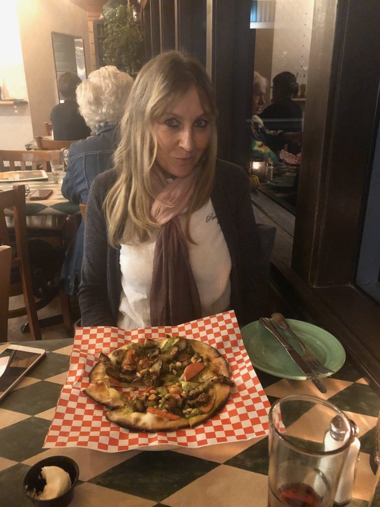
We had a nice walk around town later, it’s a very scrappy, dusty, muddy place, however the church was spotless and well cared for. I had some lovely fish tacos in a restaurant overlooking the bay and we chatted with other cruisers. In all their were about 20 sailboats at anchor here, as we motored back to sister Midnight from the pier the wind was picking up.
I had heard of two other cruisers Mike & Chris who were stranded there because there steering had failed. It was a wire and chain system like the one on stardust and Sister midnight, so as I had just rebuilt mine in Sointula I offered to help them fix theirs. A few hours in their rear lazarete the next morning sorted the problem out. Their quadrant had slipped down the rudder post and the wires had left the grove in it, it took a bit of fiddling around to get it all back together, the biggest problem was the swell was causing the rudder to flap from side to side as I was trying to re-attach the cables. It’s great to be able to help people out in a jam, that’s a great thing about the cruiser community, everyone helps each other out.
The following day we hauled up the well dug in anchor and headed off, glad to be out of Turtle bay and heading for Bahia Asuncion.
Since we left Ensenada, cell coverage has been awful, when we do get it, it’s usually 2g with next to no data connectivity. Right now we get a good signal once in a while.

Paul Collister