Thursday 1st August 2019
We left Sointula on the 1st, but first we borrowed Jim & Ivana’s car and took the ferry over to Vancouver Island for a bit of shopping and to explore a bit further inland.
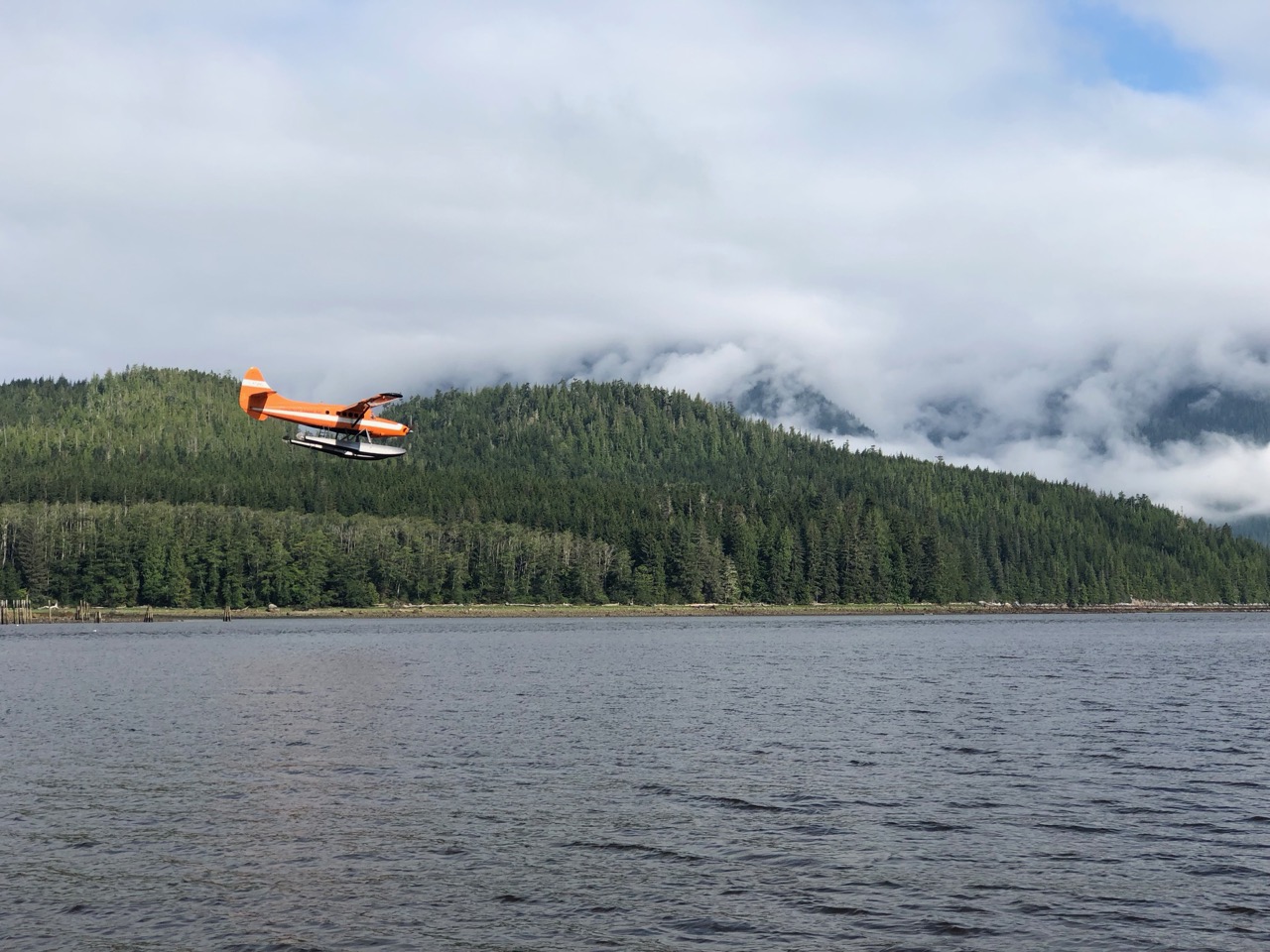
First we hit Coal Harbour, The air force had a big base here once, and it looks like the hangers are still here along with a busy float plane operation. Below you can see a plane docked, then being taxied to its resting place on the forks of a forklift truck. That’s another first for me, a plane on a fork lift truck!. Many years ago we used to play a game of ‘first to see’ when touring Europe, my friend Dave Hughes always came up with bizare things, like a fire engine towing a fire engine, or a car in a tree, the weird thing was he always saw them within a few hours. I reckon a plane on a forklift would be a good one.
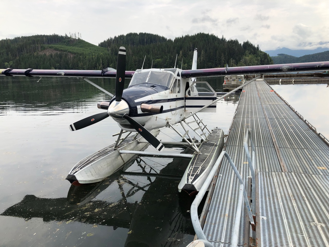
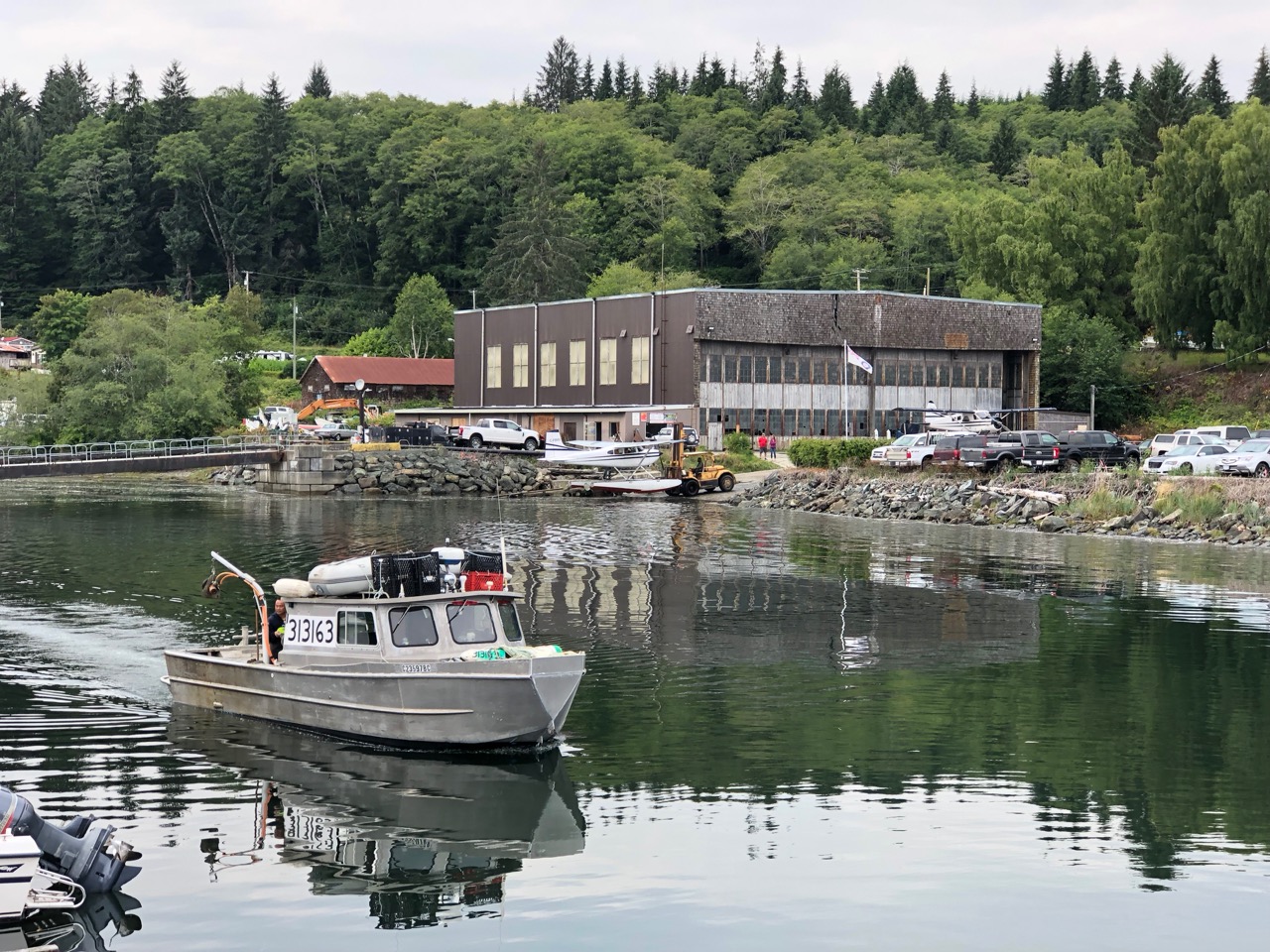
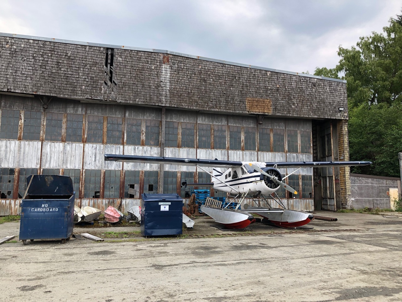
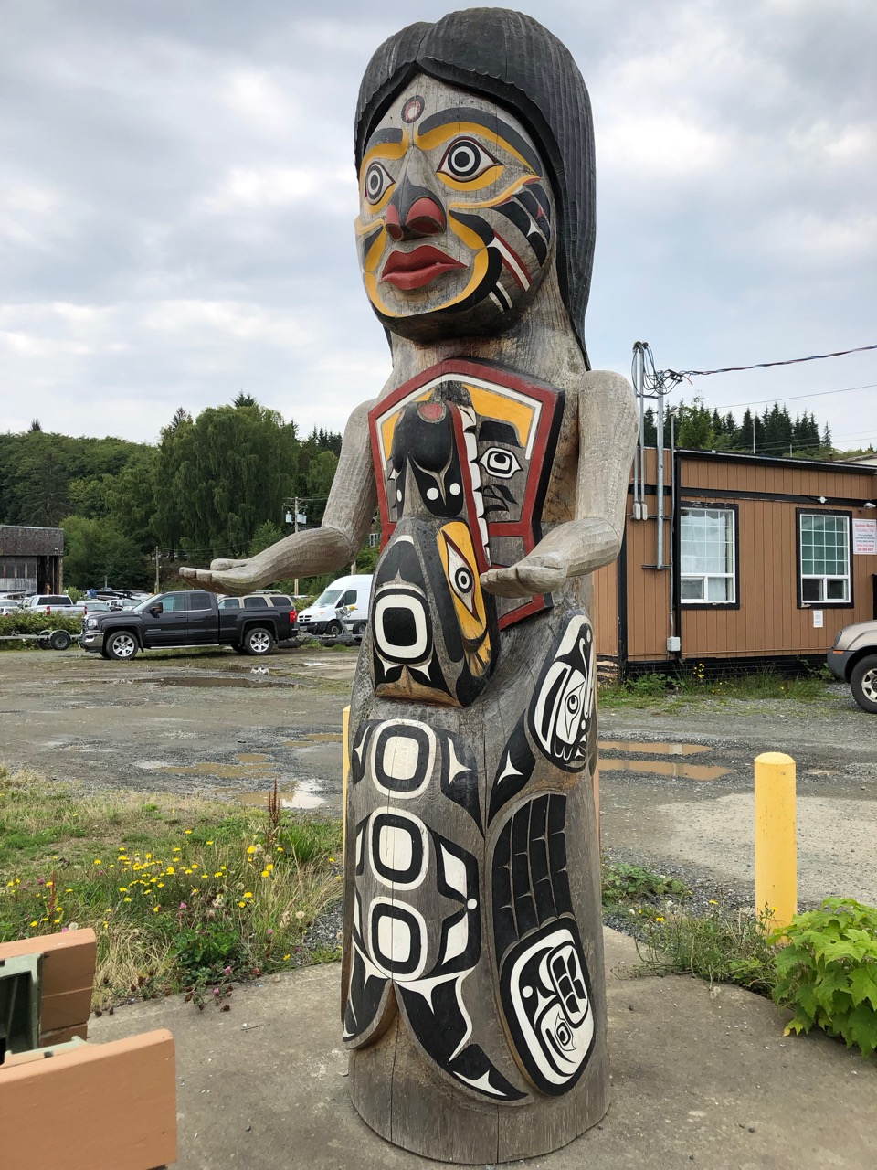
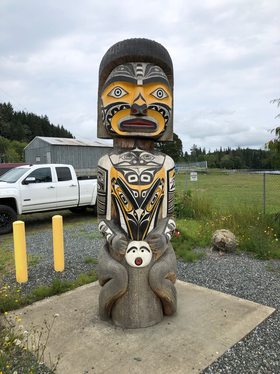
I think Coal Harbour is a mainly First Nation settlement. It was set in a great location, but had a slightly run down feeling about it.
From there we drove onto Port Alice, which is on the same inlet from the Pacific side as Coal Harbour. I read that Port Alice was struggling since the main employer, a local mill, shutdown recently. It looked very tidy, and in a wonderful setting.
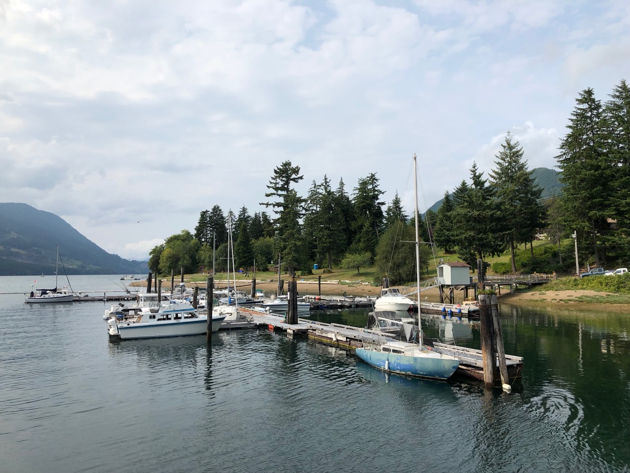
So with a sad heart we left Sointula on the 1st, heading for Knight inlet. The day started cold and wet, I was hoping it might clear up, but in fact the rain got worse as the day progressed. We had to deploy full oilies (wet weather gear) on the way. We stopped at an old marina on Minstrel Island, the place had been deserted and some rotting pontoons remained, to which we tied up. We didn’t need any facilities, it was just easier to go there than to anchor. Knight inlet is exposed to the prevailing winds from the west and secure anchorages are hard to find. The marina was decaying and the pontoons were slowing breaking up with plants growing through the planks. However it was so wet we only popped out to tie up then remained indoors while it poured down.
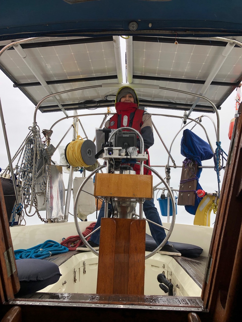
The following day the weather cleared up a bit and we motored up Knight Inlet towards Glendale, a renowned place for spotting Grizzly bears.
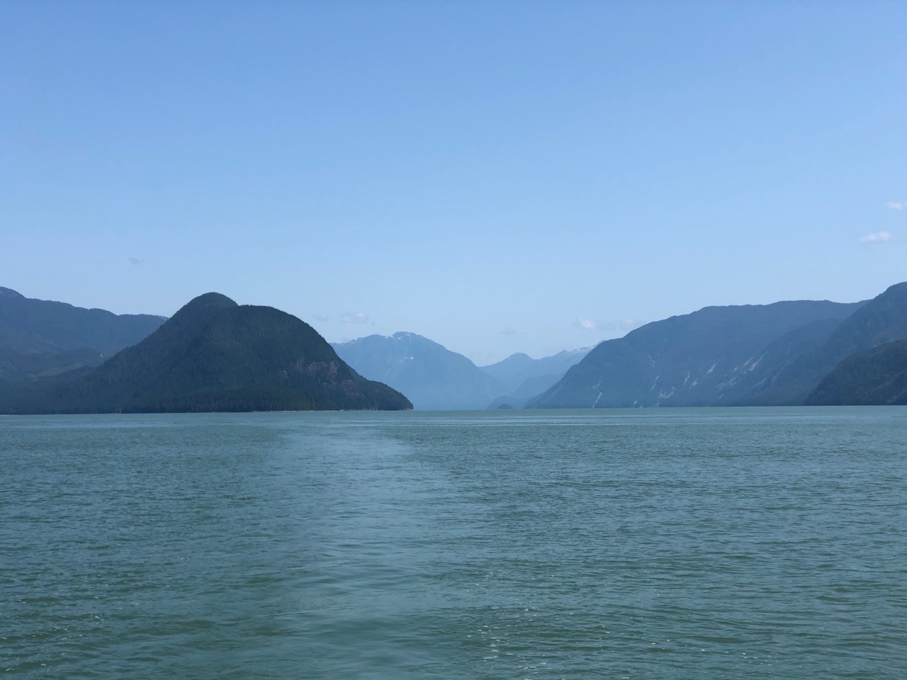
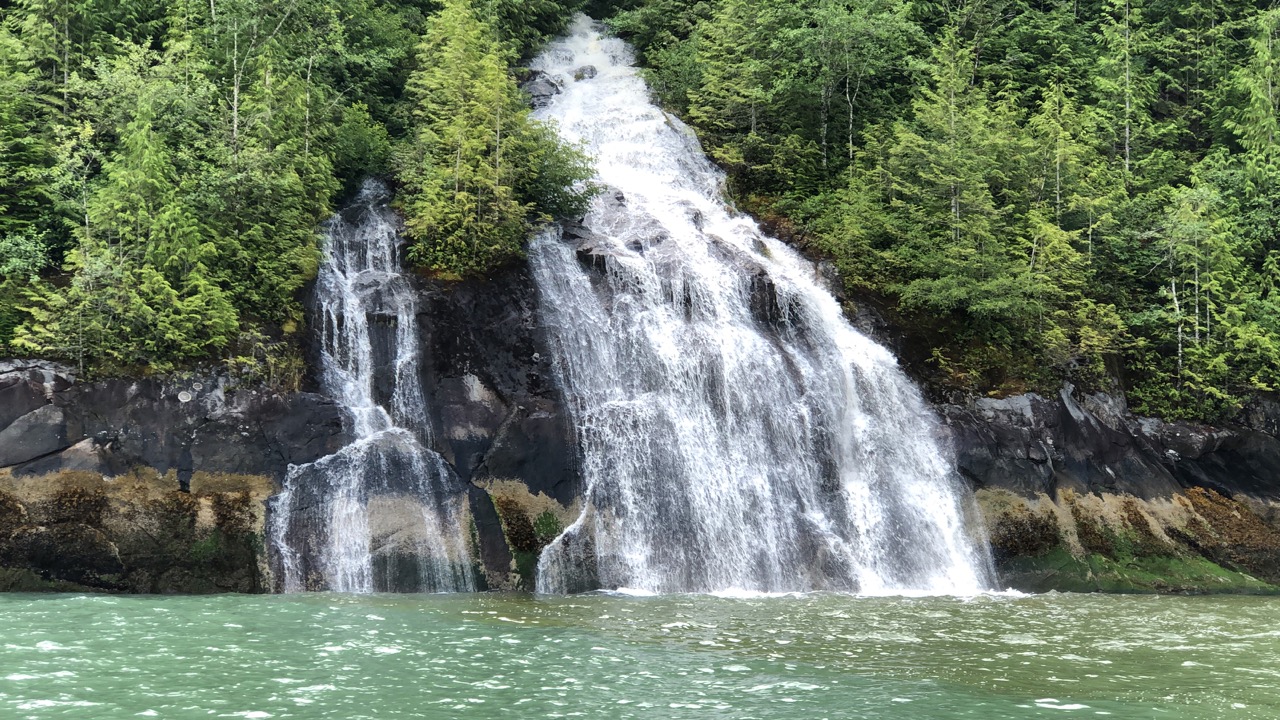
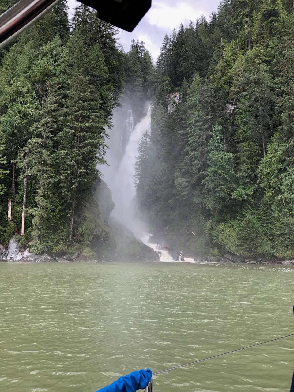
An advantage of 24 hours of heavy rain was evident in the waterfalls we saw along the route. We continued past the turn for Glendale up to a spectacular waterfall at Millerd Creek.
Heading back we anchored in Glendale cove in the SE Corner in 25 metres but by the time we backed up on the anchor to set it we were in 6 meters of water with the tide dropping by 3 mteres that evening. That was ok, but at 9am the tide would drop again, but this time by 4 meters, so we would probably go aground. I set an alarm for 7AM to check and pull in the chain a bit if needed. Later at low water we were reading 3.5 metres on the depth sounder, but I chucked my lead weighted sounding line over the stern to find only 2 metres, so we were on a very steep shoal and about to go aground. Hauling in 5 metres on the chain, brought us into deeper water and I went to bed happy.
In the morning I had to haul in a bit more chain at low water.
We searched up and down the coast for Grizzly bears, but didn’t see anything.
Glendale has a resort, and people fly in daily to go bear watching here.
We saw lots of Eagles, and a deer walking across the mud flats. We decided to leave an hour after low water, and on the way out we spotted several of the resorts boats full of bear watchers grouped just off the beach on the NW side of the bay. As we approached we were delighted to see a grizzly walking along the beach and munching on a log covered in seaweed or similar.
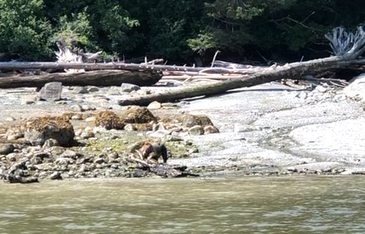
It was difficult to get a good picture with an iPhone, you really need a zoom lens for this type of thing. We had to keep a good distance away, but through the binoculars we felt very close. Kathy was very excited by this encounter.
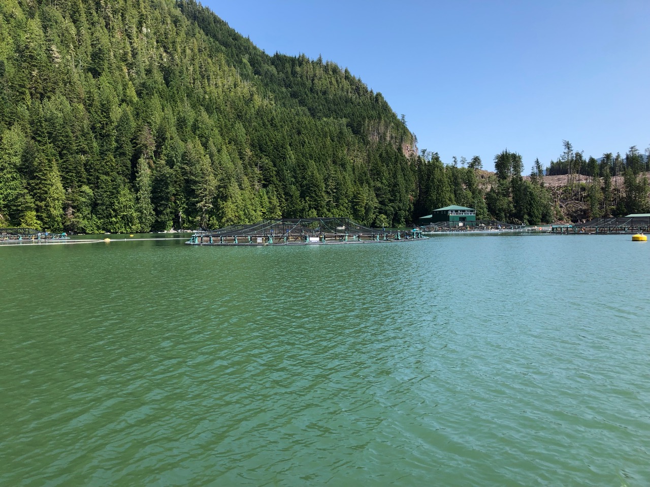
Leaving Knight Inlet we took a shortcut through Sargeant Passage which had a very modern looking fish farm were we could see salmon leaping out of the water in giant cages.
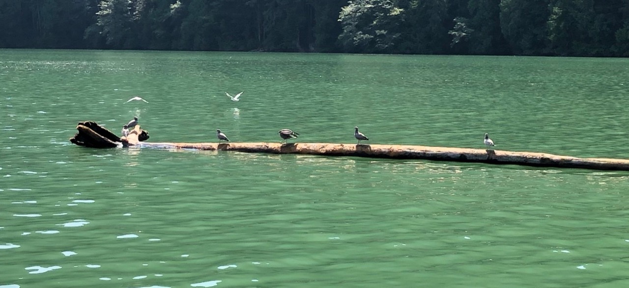
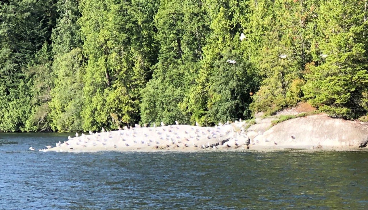
No matter what the weather, we see plenty of birds en route.
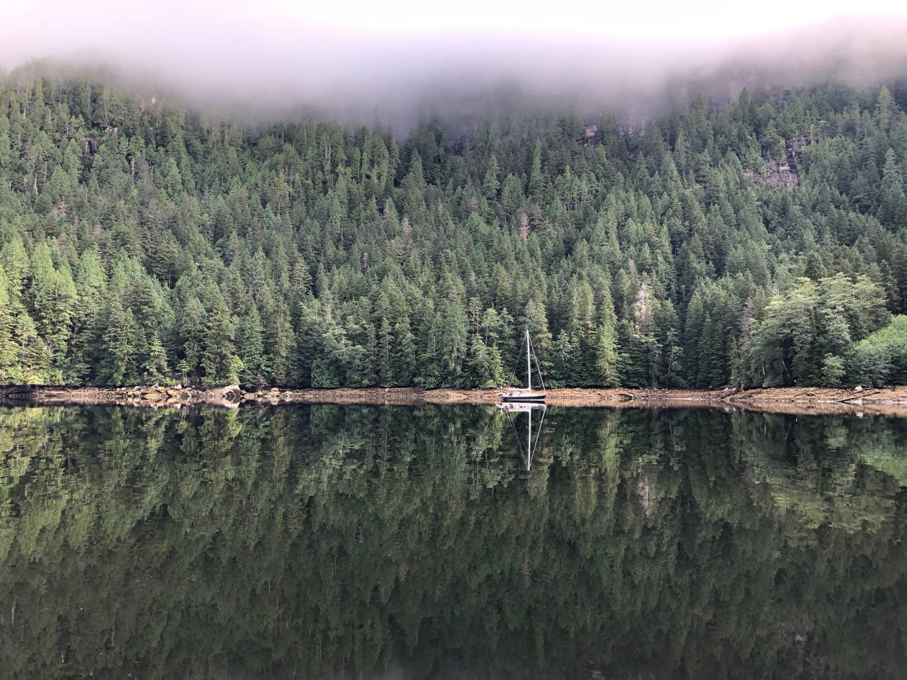
Our stop for the night was Kwatsi Bay, a secluded little marina and anchorage tucked away at the head of a river. It had been windy and cold getting here, but once in it was lovely and calm, and surprisingly warm, perhaps summer is coming to Canada. We anchored again in 20 meters, right next to a waterfall and drifted back almost to the shore, but still in 12 meters. Later that night I spotted a black bear walking along the beach. We watched him/her for ages through binoculars, and it never occurred to us to take a picture. I expect we will see more bears on Vancouver Island.
That night I noticed as I relaxed in the cockpit that we were swinging around and that the Marina in the far corner of the bay had passed us twice now. It seemed the outflow from the waterfall, and the tidal flow was creating a small whirlpool we were in. This bothered me a lot, presumably we would be twisting the chain all night and like an elastic band powered airplane we might suddenly unwind in a flurry with the anchor ripping out and us drifting of into oblivion. I figured in the end it probably wouldn’t happen, and went to bed.
In the morning we were still there, with no obvious twist in the chain. I don’t have a swivel connection so I guess we must have untwisted. Up came the anchor and off we headed for the short trip to Echo bay to visit Billy Proctors Museum.
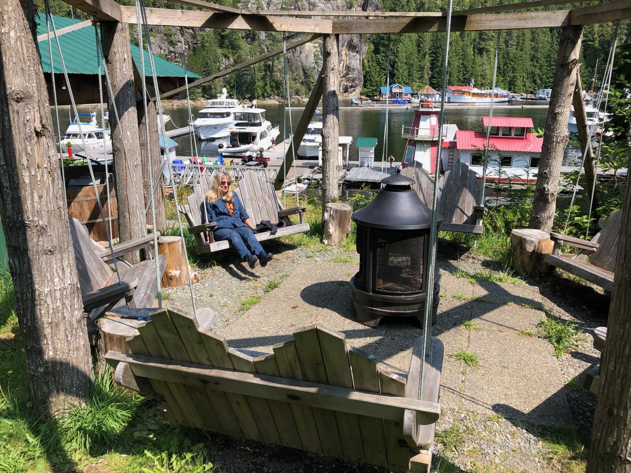
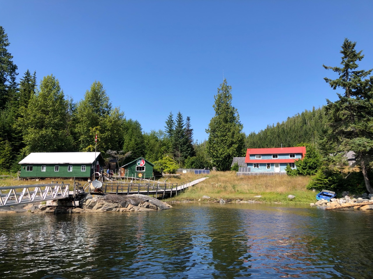
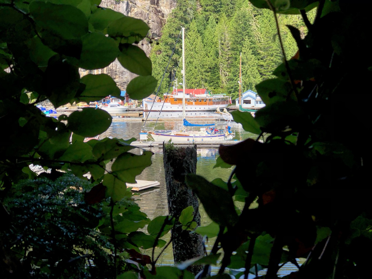
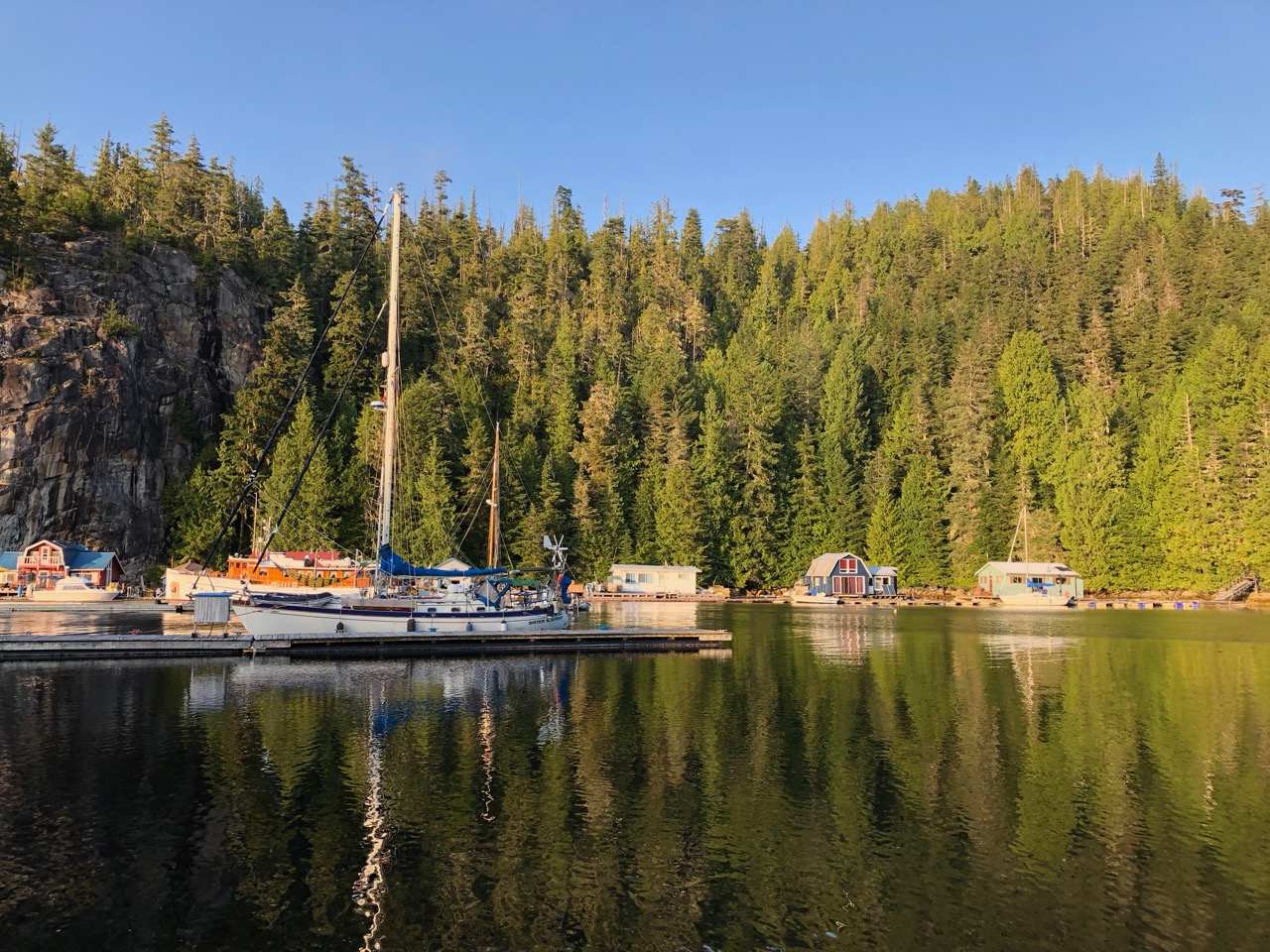
Pierre’s Resort/Marina was lovely, the weather was stunning and the place was so peaceful and relaxing. We toyed with staying an extra day there, but at £45 / night we thought we would save the money for our time in America.
This morning we left at 7:30AM (5th aug) for Port Hardy, about 40 NM or 7-8 hours. We left in dense fog, which stayed with us for 39 NM. The radar I fitted a few weeks back worked flawlessly, even spotting some logs in the water. We passed through some narrow gaps, in particular around the fox group of islands, where we had a few hundred yards on either side of us to the shore, but couldnt see a thing. Between the chartplotter and the Radar, I felt completely safe.
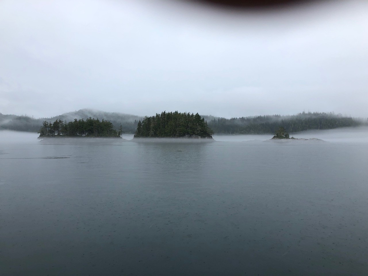
I had worried the crossing over to Port Hardy might be difficult in dense fog, but again the AIS warned us of the big ships, the only problem might have been sports fishing boats going too fast, but we didn’t cross any of them.
We are on big tides now (Springs) so that might explain why we passed so many logs and debris floating around.
As we arrived into Port Hardy the fog lifted and left us with a glorious hot sunny day, we went straight to the ful dock and took on board 115 litres, which works out at 3.6ltr / Hour. A rate of consumption I’m quite happy with. Tomorrow we stock up for our voyage to America. and on Wednesday we set off, weather permitting. We are allowing three weeks to get from here to Astoria in Oregon, with most of that time being spent exploring the NW coast of Vancouver island. There will be very little chance of communication during that period, so see you In September.
Paul Collister.

From the photos it looks to be a beautiful and atmospheric place. So glad the you saw bears at last, especially Kathy! xx
All looks amazing!x
Following you on AIS
You are having a great experience