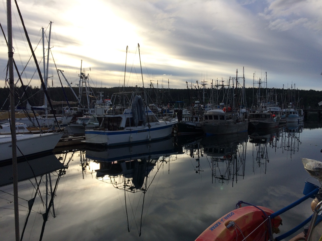
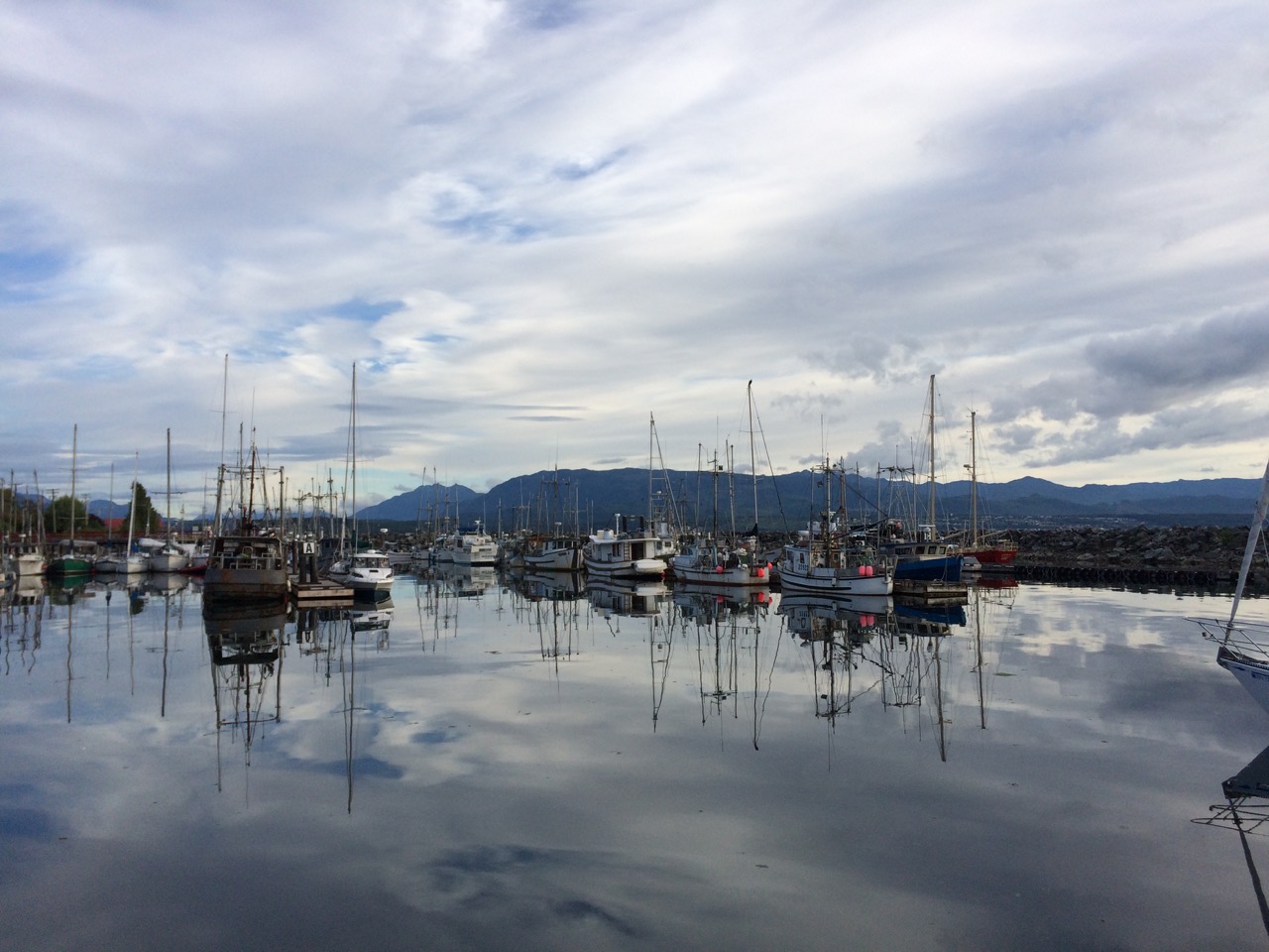
Today we left Port Hardy after a lovely week of relaxation and a lot of cleaning. We are now rafted up to a Gill-Netter in a port at Sointula.
 A Gill-Netter is a certain type of fishing boat/style where a long net, about 1/4 mile, is let out from the stern of the boat from a large drum and then the boat and the net drifts. The boat can be pointing at the net or away from it, or anywhere in-between, meaning that spotting the boat doesn’t give us a clue as to where the net might be. I have just had a good chat with the skipper of the boat and he told me that tomorrow the fisheries open for a three day window, and that he, and hundreds like him will be rushing to the water, in particular the straits and passages we are going through, and there will be Gill-Netters everywhere. His advise to me is to stay 1/4 mile away from every fishing boat, which is easier said than done.
Kathy will no doubt write about Sointula, but it’s a small town, the only town on Malcolm Island. It was setup as a Finnish community back in 1909, and populated with a few hundred Fins fleeing their country. It was to be based on Hippy like ideas, with community ownership of everything and equal rights for everyone, including women. It started off well, but fell apart after a while, however what remains now is a hard core of Finnish people who dominate Island life here in a very tight nit community.
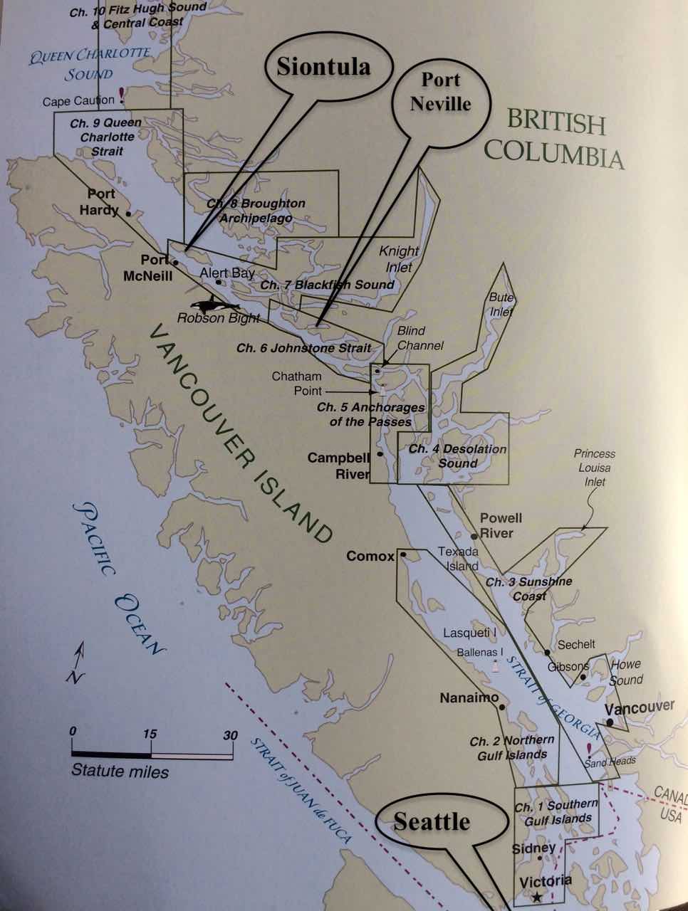
The harbour we are in is small, but I think there may be more people here than in the town itself. It’s a very peaceful beautiful spot, we can look out over the mountains of British Columbia on the mainland, or across the inside passage over to Vancouver Island. The main reason for coming here is to check out the facilities, I may bring the boat back her in 8 weeks to leave her here for the winter. It’s a very safe and secure place, and very cheap too. The Inside passage is a maze of waterways, rivers, straits, passes etc that run from Seattle all the way up to Alaska, about 1000 miles in total, most of it is protected from the Pacific gales and provide a safer route along the coast in rough weather. We joined the passage at the top of Vancouver Island and we are now working our way south, hoping to be in Seattle for the 17th when there is a rally/meet up of boats & owners of boats designed by Bob Perry, the designer of our boat. It’s an annual event, and it seems daft not to attend as we are so close. However it does mean we need to rush a little to get there.
 One of the big problems of the inside passage is that the Pacific Ocean sea level rises and falls by about 4 metres every 12 hours, and it rushes into, then out of the Inside passage. The water races through the myriad of waterways, and where it is narrow, and especially where it is shallow, or there are underwater features like mini mountains, it can get quite crazy. It’s not a gentle river by any means, in some places it’s very deep, I’m not sure exactly, but when Captain Vancouver on Discovery first surveyed it for our Queen back in 1792, while looking for a north west passage, they would swing the lead deep into the water and his crew would often shout ‘No Bottom Found’, presumably relating to the water depth.
Tomorrow we motor on down to Port Neville, and from that point onwards we are heading through lots of rapids, overfalls and challenging currents/rips. I’m looking forward to it. Fortunately the one after port Neville, which is called race passage, we will pass through on neap tides, with the current and wind in our favour. Captain Vancouver had big tides, and strong winds against him, and with his sturdy square rigger he took 4 days to cover about 40 miles, we should do it in 8 hours. Our obstacles will more likely be dodging the fishing boats and the cruise ships that will be transiting as well. Some other other place names we have to navigate over/past are, Alert Bay, Ripple Shoal, Whirlpool Rapids, Green Pt Rapids, Surge Narrows, Beware Passage, Blind Channel, Cape Caution and of course, who could forget Desolation Sound.
Paul Collister.
