Day 36, Wed 25th July. 51-13N, 133-09W. Daily Run: 92 NM. Weather: 0-6 Knots SW, Foggy but Milder, 220 NM to go
Becalmed again, but as Kathy puts it, “the fuel fairy came in the night”, as witnessed by the fact the fuel gauge is showing higher today than yesterday, so we are motoring, albeit at quite low revs. I have just downloaded the latest weather from PredictWind via the sat phone and I have a choice of four different models, 3 of them say we should have 10-15 knots of wind now, the fourth (PWG) says about 7 knots, but in reality we have zilch. Also the wind gauge (anemometer) seems to be playing up, yesterday it was showing 0-1 knot of wind, yet we were making 4 knots over water, scientifically impossible I would have thought.
One of the things I’m looking forward to is sorting out these anomalies when we get settled into the USA or Canada. Over the next 9 months I plan to do major upgrades to the systems, including a new set of Wind/Speed/Compass instruments. Added to that some luxuries, like a fuel consumption display, hopefully I can get all of these feeding back to my computer. The fuel gauge is annoying, something I didn’t pay enough attention to before, like most tank gauges you get on boats, it uses a float that goes up and down a pole inside the tank. the float has a magnet that connects switches on its travels changing the resistance, and hence the display on the meter. The problem is that there are just a few switches, maybe 6 on the cheaper ones, meaning that you get the appearance of a linear scale on the meter, but in fact it only has 6 possible readings. I’m not sure if the 1/4 empty mark is the last reading before empty, or if I have more. The reason being I never let the tank go below 1/4 full, usually 1/2 full is my limit. Also I don’t know what nasties lie at the bottom of the tank. My other problem is that the tank was replaced on the boat with two separate tanks joined by a hose at the bottom, that must affect the dynamics of the sensor I would think as they both have sloping bottoms to fit the bilge. They are both difficult to access as well. All good fun and games to look forward to. I also wondered why the starboard water tank was emptying so quickly compared to the port tank, again a bad assumption on my part, I assumed they were similar to the ones on my baba 30, both identical in size, but I think the starboard tank is somewhat smaller than the port one. Not that it matters, I put an extra 40 litres in yesterday from the water maker, and made another 10 litres to keep as spare in a jug.
We passed the 135 deg West line yesterday, which meant another hour change on the clocks. We are now on PST, the same time as Vancouver and Seattle, so no more time changes required for a while.
Despite a poor showing by the wind, we are making decent progress towards Vancouver Island. Last night I spent a few hours going over the charts and the tide tables for our destination. My job now as a navigator changes a little from before. Up until now the course only needed to be approximate, and there was little chance of hitting anything, from tomorrow onwards the course needs to be quite precise and there are lots of things to hit. The passage planning and pilotage for the last 100 miles requires us to make our way to the safe water mark near the entrance to the Goletas channel. From here we have to consider several things, firstly there is a ‘bar’ which means a shallow patch at the entrance to a river, where the tide, over time has built a sandbank at the river entrance. In bad weather, especially if the tide is running fast, it can be quite dangerous, with big steep waves. The west coast of the USA has many ports whose entrances have serious bars, and with the prevailing Pacific storms, are quite dangerous. Youtube has a stack of videos of poor yachtsmen coming to grief trying to get into the harbour through huge surf created on the bars.
We have to time our passing of the bar to coincide with slack water, which in our case is around 8AM on Friday. The next obstacle is that the current runs fast in the channel, up to 4-5 knots. If we go with the flood tide, i.e. the low tide rising, which happens to start at the same as the 8AM slack tide, then we will get a good push along the channel. To complicate matters a little, the channel is 20 miles long, and the time of slack water is different as you go along, also the tide turns at different points. The easiest way I have found to deal with this is to divide the route up into smaller chunks, in this case just 2 2 hour chunks, which means we need to travel at 5 knots to cover the channel in 4 hours, with the current pushing us, this means we have plenty of scope for error. In fact I’m looking forward to seeing if my math work (is that the correct pronunciation over here, I can’t see it), as we pass along the channel, using little engine power, if any. The other worry is stray logs, this is serious logging country, where logs are felled and chucked into the water to be rafted up and towed away. There are always strays, and they can be massive, I believe some of them can float vertically, making them hard to see, either way, hitting one might do more than scratch the gelcoat on the hull. So we won’t be doing night sails once we reach the sound, and will be keeping a constant lookout.
Another disappointing aspect is that the constant fog we get means I don’t think we will see land until we are right under it. There are some off-lying islands I would like to see, but probably won’t. I can see clouds and the sun above, but no more than 1/2 mile along the water right now.
We are picking up Coast to Coast AM Radio on the SSB, last night we heard a program all about the supernatural things, with experts testifying on the different types and their relationship to each other, the previous night was all about UFOs, and had people call in who had actually seen aliens in their garden, or watched their spaceships hover over their house with aliens at the spacecrafts window. It’s an odd station, the adverts are very funny, there are just so many things available now that will change my life, I had no idea, and can’t wait. It must all be true as well as they also have experts on the adverts.
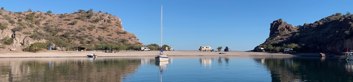
Not long now, 200 miles to the harbour, 150 until we enter Queen Charlotte Sound, just as well, the potatoes have run out, soon we move onto the emergency food of pot noodles and Tinned Tuna, of which we have a few months supply 😉
Paul Collister
Skip to content
A Baba/Tashiba 40 Sailing yacht and her travels
I’m delighted to see that red dot getting closer to land.
Although I’m having sleepless nights about the diesel supply:) it reminds me of my car when it says only 50 miles remaining ( remember only 5 leaves left?). Sometimes that 50 will go close to 100, other times less than 50.
I really enjoyed your story about the guy calling you up on Ch 16 after he spotted you on AIS. that was very sweet of him. I had a quick look at flights to Vancouver. Too expensive, alas.